April 26, 2022
How to repair the underside of a ship’s hull, still in the river, in -50˚C Yakutsk!
Despite these hard times, we continue our work saving the world from all manner of cyber-maliciousness. We adapt; we carry on. Meanwhile, I hope my travel notes and photos will bring a little cheeriness to all who view them – because there’s hardly a better way to do that than with the beauty of nature (and a spot of -50° adventure).
Hi folks!
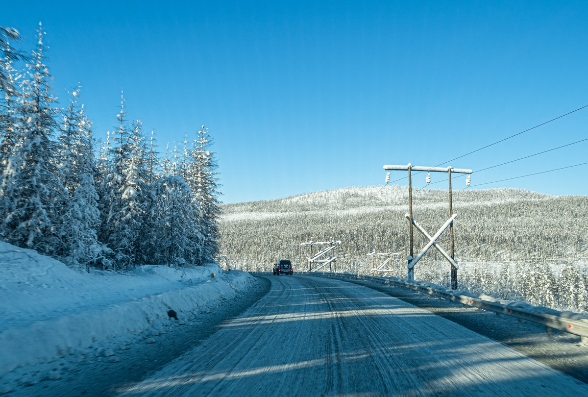
After our overnight stay in Khandyga, it was back on the road and heading for Yakutsk. Thing is – that stretch of road to Yakutsk was so thoroughly boring that there’s absolutely nothing of interest to report to you, dear readers. Accordingly, I’ve fast-forwarded to Yakutsk; for there can never be anything boring about the extraordinary Siberian city of Yakutsk…
Here‘s a primer for what the city’s all about – from last year. We basically repeated much of the itinerary detailed in that post, so I won’t duplicate here. As to this year’s novelty…
We visited… the dockyard of Zhatay, just outside Yakutsk. A dockyard? Eh?! How could that possibly be of interest to a group of very well-traveled – seen-practically-everything – tourists? Actually…
Meanwhile, here’s the Lensky Fleet…
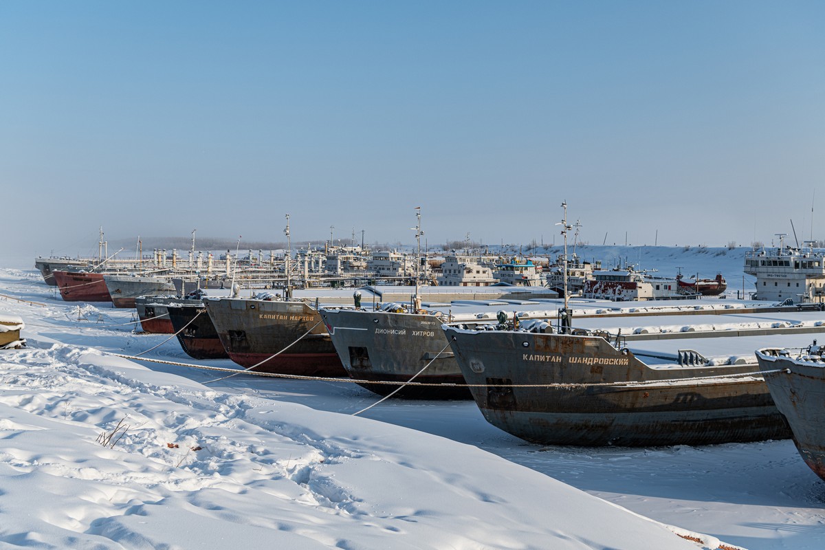
…Actually, there is something unique about these river docks. Soon, 100 – 130 boats/ships will be navigating the Lena river here. But some need repairing…