Monthly Archives: May 2023

The long and winding… trek – to Everest’s Base Camp; Day 7: Lobuche to Gorakshep.

The “Long” in the title is spot on – we’d already been on our trek up to the Nepalese Base Camp of Mount Everest a full week – and we’d still a few days to go. And it was those few last days that worried me a little when I opened the curtains in my guesthouse room early on this morning. Now, of course, I’m no stranger to snow and fog, but I’m used to having to directly experience it just between my front door and that of my car, and between said car and office door. However, here… – yikes: we had a day’s trekking with low oxygen (from Lobuche to the next village of Gorakshep) – upward – out in this! ->

It made me want to go back down to the snooker hall and lay low there instead of forge ahead )…

I was comforted a little when I learned we had just four kilometers to cover this day, but still – this weather: what the actual fog?!

Read on…

The long and winding… trek – to Everest’s Base Camp; Day 6: from Dingboche to Lobuche.

So far – so snooker…

  • Day 1a: flying in to Lukla’s bonkers airport
  • Day 1b: setting off on our trek from Lukla to Phakding
  • Day 2: Phakding to Namche Bazaar
  • Day 3: acclimatization day in Namche Bazaar
  • Day 4: Namche Bazaar to Deboche
  • Day 5: Deboche to Dingboche

And so on to day 6…

Setting out in the morning in Deboche we were at an altitude of 4400 meters above sea-level. Come evening we’d be at 4900m – in the small settlement called Lobuche, which sits upon a mountain of the same name. Ahead of us on this day were snow and fog, but earlier the weather and thus visibility weren’t so bad:

All the same – not quite up to what could have been: here’s the same scene on a brighter day, as depicted in a large framed photo on the wall in our guesthouse. Notice there’s even light cloud in the photo: I’m thinking cloud is inevitable high in the Himalayas – even on the best of days weather-wise… ->

Read on…

Flickr photostream

  • Lake Garda
  • Lake Garda
  • Lake Garda
  • Lake Garda

Instagram photostream

Nepalese Alpine snooker.

One of the cultural shocks on our trek up to the Base Camp of Mount Everest was our seeing a snooker hall/club practically every day in a village we passed through or stayed at – no matter how small the village! (Just in case you’re not sure what snooker is – it’s a cue sport, kind of like billiards or pool.) Even in Dingboche, some 4400 meters above sea-level, there was a “Sherpa’s Kitchen & Bar” with snooker! Extraordinary. So extraordinary that I just had to find out a little more about this unanticipated Nepalese “tradition”…

In all I saw four snooker-playing establishments on our trek. The first one was in Lukla, where we landed (at the world’s craziest airport), on its main street:

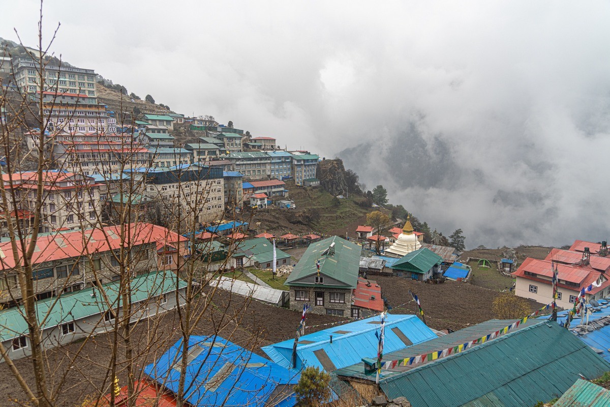
The second time was in a small village not far from Namche Bazaar – the same village as where the supposed scalp of the Yeti is exhibited (in a Buddhist monastery):

Still not quite believing my eyes, I decided to go check up on the presence of an actual snooker table inside. And there one was. Full size too…

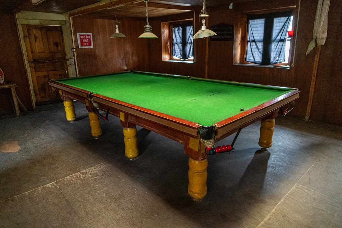
The green baize has seen better days, but it’s still perfectly usable:

// In Namche Bazaar itself I only saw a pool (not snooker) table (they’re smaller).

The next snooker hall we saw was in Pangboche. And that was at just under 4000 meters above sea-level ->

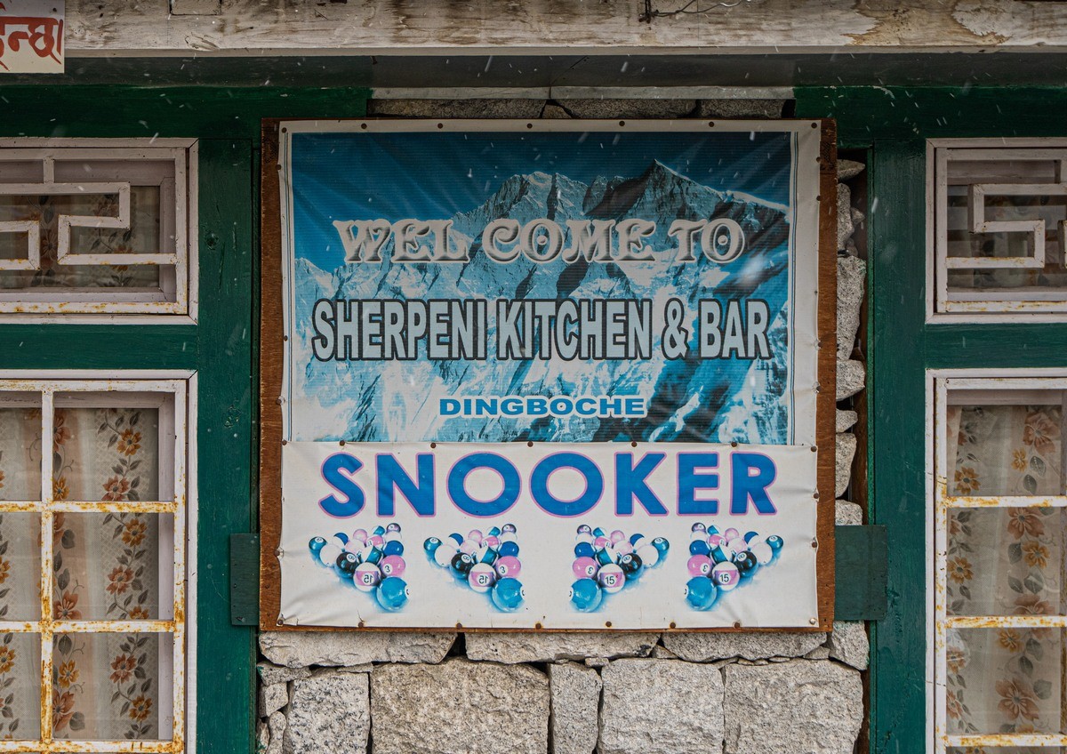
But the record was at 4400 meters in Dingboche – and as full-size and genuine and proper as all the rest!…

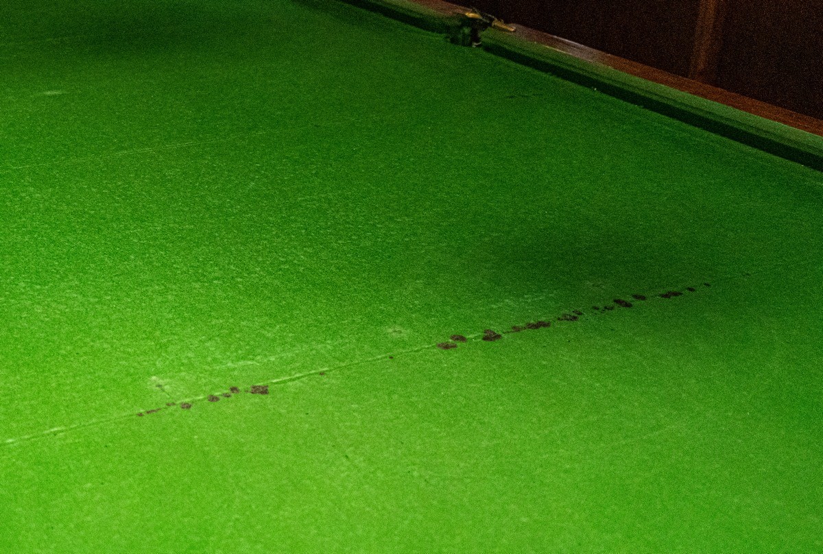
// Btw: what’s wrong in the above photo?
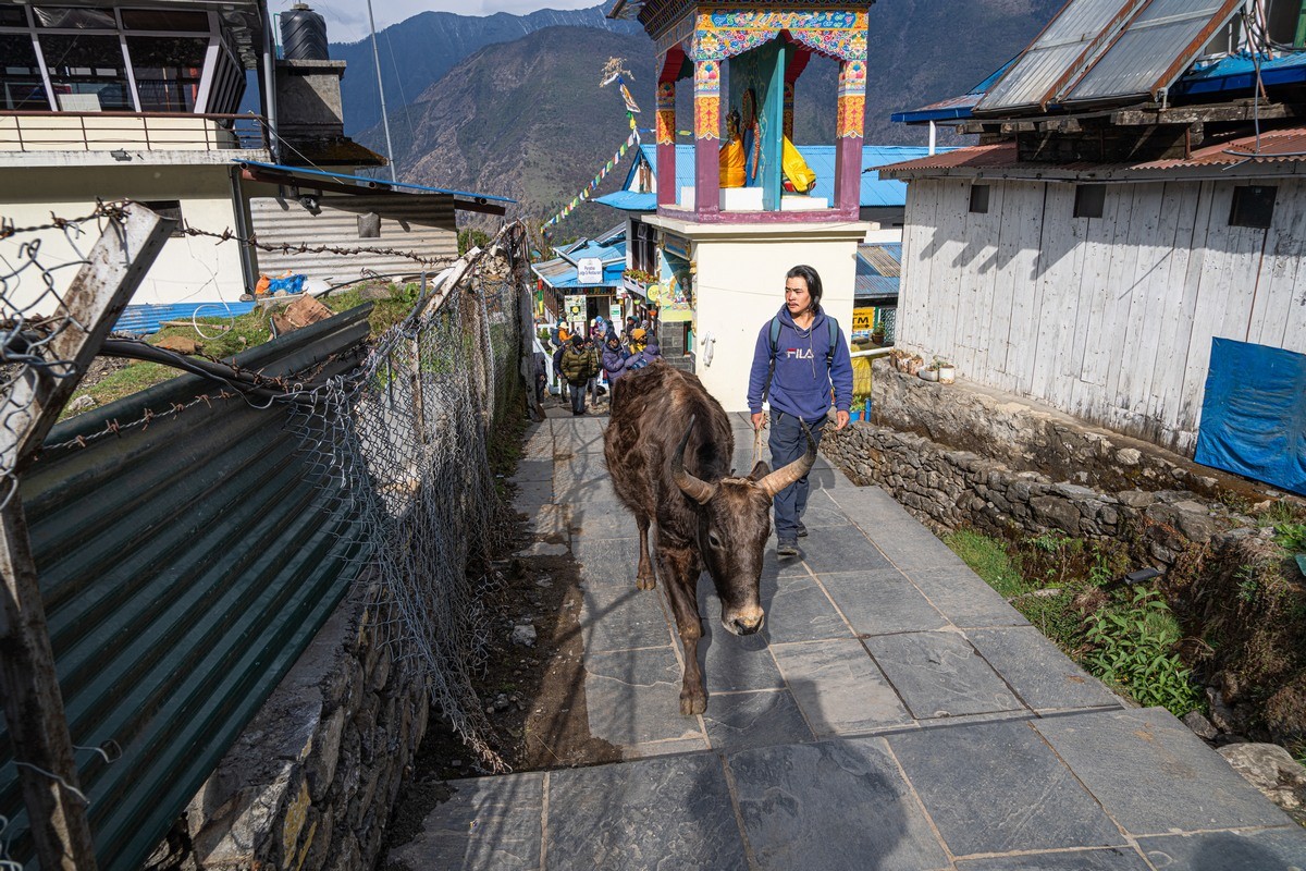
Sherpas in action:

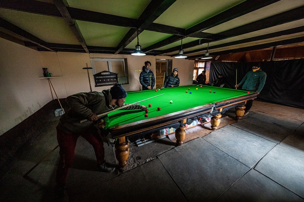
And they turned out to be the Sherpas who’d just carried up our luggage and that of another group…

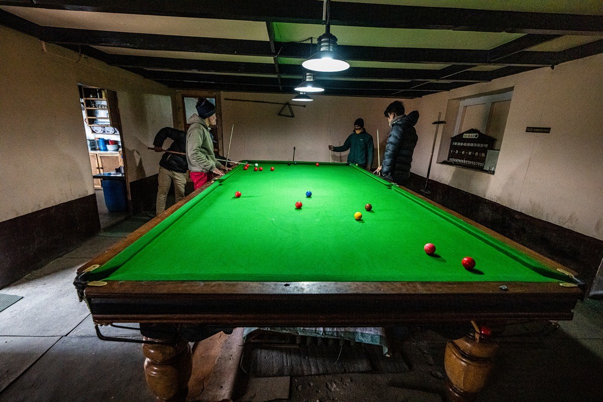
Remember – no transportation at all around here. Imagine the job they had getting this colossus all the way up here?!!

So, just how did snooker come to be so popular in the Nepalese mountains (and valleys, I guess). Some seem to think it’s down to the fact it was invented in next-door India by British Army officers in the mid-19th century; others reckon it’s only just gotten real big over the last ten years.

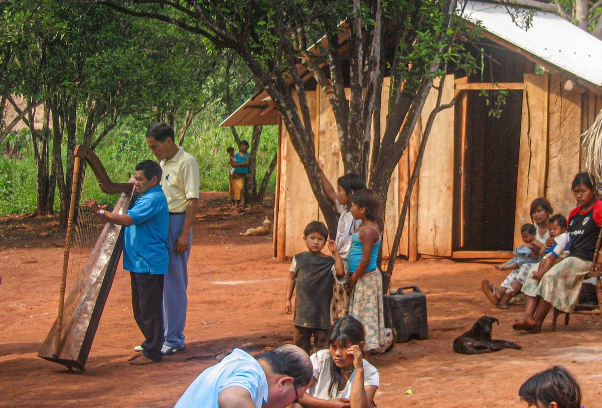
Sherpa-snooker in the Himalayas reminded me of another cultural shock in an indiginoius peoples’ village in Paraguay in 2006. Here are my travelogue notes from back then:

“Excursion along the Paraná River, which separates Paraguay from Argentina. Fun! We got out on the Paraguayan bank and were taken to a museum of an explorer. If lucky, you get taken a few kilometers further through jungle to a village of indigenous Paraguayans. Everything’s just like in the movies: short in height, traditional dress and body paintings, huts, lots of children, and… a soccer pitch! [that’s just the culture-shock hors d’oeuvres!] They offered to play music. We agreed they should; and out comes – a harp, which an elder proceeded to play eloquently! Culture shock! Guaraní + harp!”

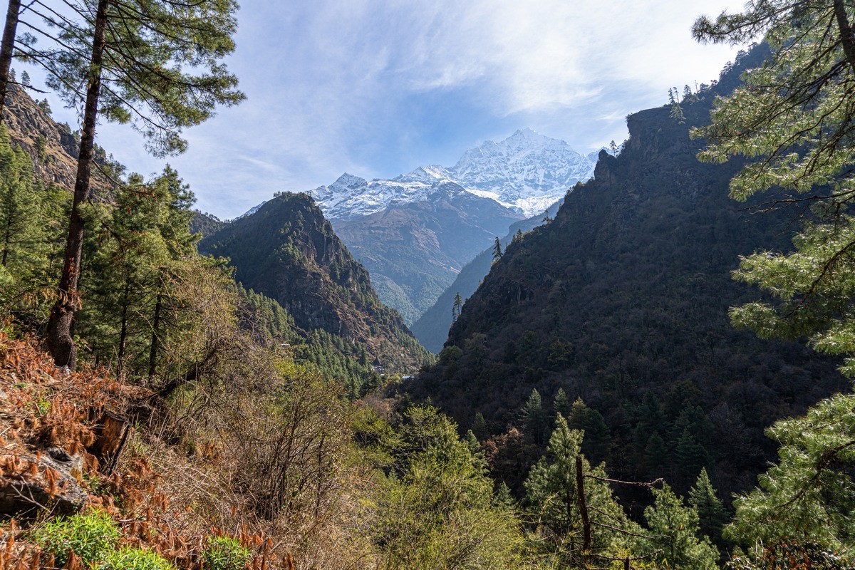
And that’s all for today folks. Back in Nepal we were headed further – in an upward direction. But more on that later…

The rest of the photos from our trek up to the Base Camp of Mount Everest are here.

Enter your email address to subscribe to this blog

The long and winding… trek – to Everest’s Base Camp; Day 5: from Deboche to Dingboche.

So far – so good amazing, despite the far-from-ideal weather:

  • Day 1a: flying in to Lukla’s bonkers airport
  • Day 1b: setting off on our trek from Lukla to Phakding
  • Day 2: Phakding to Namche Bazaar
  • Day 3: acclimatization day in Namche Bazaar
  • Day 4: Namche Bazaar to Deboche

Which brings us, logically, to day 5…

Rising early as usual, we woke to something, alas, all too familiar: Himalayan Mirages. Familiar since they’re almost exact copies of Kamchatkan Mirages. Here we go again (…

…But never mind. Onward and upward – and still hoping for the wind to blow away the clouds like yesterday…

Read on…

The long and winding… trek – to Everest’s Base Camp; day 4: from Namche Bazaar to Deboche.

Hi folks!

Here’s what we’ve had so far in this series on our trek up to the Nepalese Everest Base Camp:

  • Day 1a: flying in to Lukla’s bonkers airport
  • Day 1b: setting off on our trek from Lukla to Phakding
  • Day 2: Phakding to Namche Bazaar
  • Day 3: acclimatization in Namche Bazaar

Which brings us to day 4, which at first didn’t bode well due to the low cloud all around; however, it was soon enough all blown away – as were we when we looked up! ->

Again, not too far to walk this day – just 10.5km, and most of it along this here super path:

Read on…

The Long And Winding… Trek – To Everest’s Base Camp; Day 2: Phakding to Namche Bazaar.

Having made it from Lukla to Phakding with a sprightly step on day one, we continued on our way up to the Southern Base Camp of Mount Everest on day two, which turned out to be a fine day: monumental mountainous views all around – ideal for many a meditative moment (just how we like it). The main meditative visual-focus of the day – visible from early morning: the peaks of some of the Himalayan mountains! ->

1.

Read on…

Here’s how we should approach artificial intelligence.

I’m a bit tired by now of all the AI news, but I guess I’ll have to put up with it a bit longer, for it’s sure to continue to be talked about non-stop for at least another year or two. Not that AI will then stop developing, of course; it’s just that journalists, bloggers, TikTokers, Tweeters and other talking heads out there will eventually tire of the topic. But for now their zeal is fueled not only by the tech giants, but governments as well: the UK’s planning on introducing three-way AI regulation; China’s put draft AI legislation up for a public debate; the U.S. is calling for “algorithmic accountability“; the EU is discussing but not yet passing draft laws on AI, and so on and so forth. Lots of plans for the future, but, to date, the creation and use of AI systems haven’t been limited in any way whatsoever; however, it looks like that’s going to change soon.

Plainly a debatable matter is, of course, the following: do we need government regulation of AI at all? If we do — why, and what should it look like?

Read on…

The long and winding… trek – to Everest’s Base Camp; day 1: from Lukla to… Phakding.

Not long after landing at the world’s scariest airport, we got straight into what we came for: we set off on our trek – at first through the narrow streets of Lukla; in among the donkeys dzos, of course…

In among the what? The dzos – a dzo being a hybrid between the yak and the cow. Well, well: this post’s only just begun and you’ve learned something new already!…

Read on…

Lukla – the most-bonkers airport in the world!

The trek to the Nepalese Everest Base Camp covers a distance of some 50+ kilometers, takes around a week to complete, and starts out in the small town of Lukla. Not that getting to Lukla itself is super easy, since there are no roads to the place. I guess on-foot, horseback or motorbike are possible, but that would more time to an already rather lengthy hike up to the Base Camp. Accordingly, the main way most visitors reach Lukla is by air – plane or helicopter. And here’s the town – at the foot of the Himalayas, but still nearly 3000 meters above sea-level (as you can see from this aerial pic, the weather wasn’t so great from the outset) ->

Read on…