Tag Archives: volcanism

The ever-changing landscapes of Kamchatka’s Valley of Geysers.

Onward – and further down toward the southern end of Kamchatka…

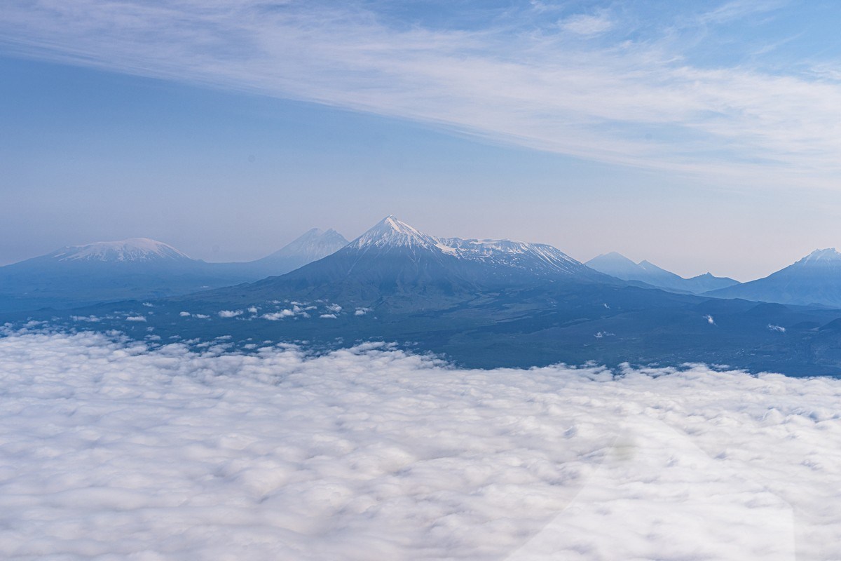
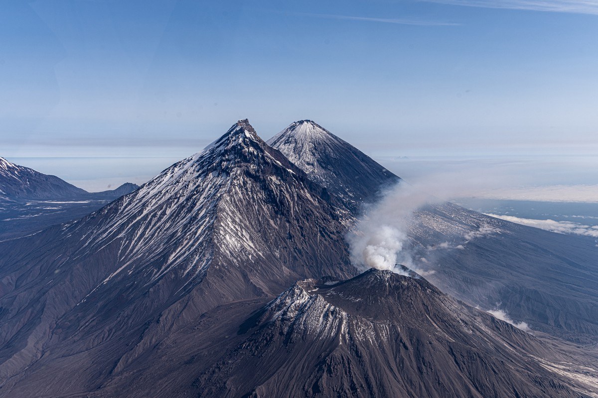
Kizimen and Kronotsky volcanoes – duly observed; the gurgling of Uzon caldera – duly whiffed!

Next, the Valley of Geysers – another unique natural feature: a valley of hissing, steaming and bubbling water (& volcanism). Moreover – hissing, steaming and bubbling over a large area:

Read on…

Enter your email address to subscribe to this blog
(Required)

Greater Tolbachik: Northern Fissure, Dead Forest, and the ‘Star’ nano-volcano with lava tunnels.

One of the unique natural phenomena of mid-Kamchatka is Severniy Proriv – Northern Fissure – a site where, as a result of a ‘fissure’, or crack, which formed during the 1975-76 big eruption of Tolbachik, three symmetrical cones of volcanic slag were left behind.

Such fissures are a rather rare volcanic phenomenon, but this one was predicted by volcanologists based on their constant observations of seismic activity around these parts in the mid-seventies: in 1975 the frequency of earthquakes around Tolbachik sharply increased – which meant that somewhere nearby there was lava bubbling up nearer and nearer the earth’s surface. So an expedition of volcanologists was dispatched there, who were lucky enough to observe the eruption from the very start. As a result this eruption was very well-documented and on the internet there’s a mass of information about it – admittedly, mostly in Russian. Today, the three cones formed by the Severniy Proriv – now collectively called Severniy Proriv (are you keeping up?:) – are still there, and they’re three mega-beauts:

Read on…

Some do politics; I prefer the Tolbachiks!

Onward – down the volcanic spine of the Kamchatka peninsula

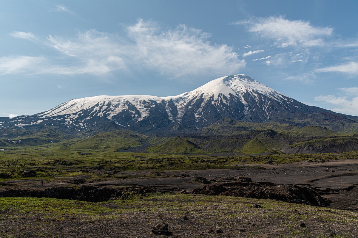
Next stop volcano – Tolbachik, similarly A-list just like Klyuschevskaya Sopka, Avachinsky (near Petropavlovsk-Kamchatsky), and Khodutka and Ilynsky in the south. I’ve been all around it, up and down and across it on five occasions, and it’s always one of two things – OMG-beautiful, or an OMG-ruthlessly harsh experience (due to the weather). It’s like… Russian roulette – will you actually see Tolbachik in all its grandiose glory, or will you see… not much besides fog and rain (aka – Kamchatkan mirages), and fairly freeze while you’re at it.

I’ve been to the very top of Tolbachik tree times out of my five visits, but more on that later. For now, some photos of this distinctive, magnificent, monumental volcano:

Read on…

Kamchatka-2021: These volcanisms were made for walking, so that’s just what we did!

Sunset views of the Klyuchevsky group of volcanoes – done.

Aerial views of same (from a helicopter) – done.

Next up – walkies…

The route went something like this: heading southwest, and then west around Bezymianny volcano – known for its catastrophic eruption in 1956, which led to powerful pyroclastic flows (for those wondering what they are, and interested in learning about different types of eruptions – check out this link and other links below, included specially for the curious types among you).

And here she is – Bezymianny (Unnamed). The view from the southeast, which was the direction of the lateral blast of the eruption in 1956:

Though it’s been a full 65 years since that explosion, there’s still no vegetation on the volcanic landscape here today. The material spewed out of the bowels of the earth is probably simply too poisonous with assorted volcanic chemicals (too alkaline, or too acidic, or too much of this, that or the other…).

Read on…

Kamchatkan Mirages: foreword.

Hi folks!

Oh my… golden leaves! It’s fall already! Is it just me, or do summers seem to get shorter and shorter by the year? Still, there’s a good reason why my summer seemed to fly past – a third of it (mid-July to mid-August: nearly a whole month) I spent in Kamchatka, my fave place on the planet, where, as always, I had much fun and adventures, during which of course times flies…

And time flies for me still to this day (year) in Kamchatka, even though this trip was my seventh full vacation on the peninsula (not including quick ins-and-outs en route to the Kuril Islands a few times). And another thing that never seems to change is the fact that there are still plenty of places in Kamchatka that I’ve yet to get to and fully investigate (there are also a great many astonishingly beautiful places there I just never tire of returning to).

Here, for example, is a place I’ve never visited – the Zheltovsky volcano – near the southernmost tip of the peninsula ->

So, why Kamchatka?

Read on…

‘Zavaritsky: a ‘Festival of Vivid Volcanic Color that Couldn’t Be Fuller!’

Hi folks!

This is getting silly. Our Kurils expedition this year was in summer. Soon – it’ll be winter! So I’d better get back to my tales from the Kurilian side and make some decent progress toward finishing them; otherwise it’ll be Christmas and I’m still on about our summer holidays.

So, as every YouTuber loves to say, ‘without further ado’, let’s get back (far-)east. Specifically – ~40 kilometers to the southwest of Brouton Bay along the eastern coast of the Kuril island of Simushir, namely – at Zavaritsky Caldera.

Zavaritsky is yet another voluptuous volcano of the Kurils. Now, if Krenitsyn is the ‘King of the Volcanoes’, and Ushishir is the ‘Jewel in the King’s Crown’, where does that leave Zavaritsky? Zavaritsky is… the ‘Cherry on the Colorful Cake’, which the king, in his crown, loves to eat, when he gets the munchies. Ok, I have backed myself into a corner with the metaphors, so… let me extract myself from the compulsion to stick with royalty, its headgear and sweet-tooth, and simply state that Zavaritsky is… – a ‘Festival of Vivid Volcanic Color that Couldn’t Be Fuller!’

See for yourself ->

https://www.instagram.com/p/B00-2_Qgup-/?utm_source=ig_web_button_share_sheet

Read on…

Up an orange stream – for a fumarole-stroll.

There’s another volcanism feature on Kunashir definitely worth a visit: the fumarole ‘fields’ of Mendeleyeva Volcano. Last time we strolled across one such field; this time we walked along the river toward the second. And a wonderful walk it was too. Though it was a ‘mere’ eight kilometers one way, another eight back, it still took our group of office dwellers the full day to cover it. Still, taking our time meant the meditative-enjoyment factor was fully guaranteed!

To get to the nearest fumarole field you take the forest path; to get to the furthest one you take… the river! The overgrowth either side of the river is just too thick for trekking. So it’s on with the Wellingtons and off you splash, enjoying the views all around as you do!…

Woah. Bright green volcanic discharge. I wasn’t sure whether to say ‘urrggh’, or ‘woweeeee’!

The bush with the pink leaves. Actually, one side of the leaves is the customary green color; the other – that there bright pink. Mutant foliage!

Along the banks of the river – the highway for the local inhabitants:

The deepest bit of the river:

In places the constant water erosion reveals secrets of the periodic table in the stone:

The further up we got, the more often did we have to switch on the ‘4×4’.

Suddenly – ruins of Japanese sulfur mining buildings:

After two or three hours, we finally make it to the top. Time for our habitual ritual when we’re atop mountains or… fumarole fields: sit, chill, meditate, zone out, or whatever else you want to call it…

The multicolored volcanico-fumarolio are a wonderful sight to behold, and none of the strong odors that normally accompany such sulfuric sights as these.

Pleasant surroundings, comfortable, calm. The only thing disturbing the peace and quiet – the buzz from the drone. But given the quality of the vids it takes – it is forgiven ).

Of all the many colors here, perhaps the most outstanding are the rich reds and awesome oranges. Clearly plenty of ferrous oxide round here…

Alas, time to head back…

…And not just to the Athens. It’s almost time for us to head back to civilization: our Kurils adventure is drawing to a close (.

The rest of the Kurils-2019 pics are here.

The one and only – Stolbchaty.

Next up for us – in fact, our last Kuril Island of this year’s expedition – was Kunashir, which, luckily, happens to be covered in outstanding volcanisms. To the north there’s Tyatya; to the south of it there are Cape Stolbchaty and its crazy columns; and further south there are the multicolored fumarole fields of Mendeleyeva Volcano and the hot mud baths in the Golovina Caldera. Each instance of volcanism – spectacularly beautiful in its own right; but all together they make sure the island of Kunashir would – if it were in China – geyt a full KKKKK rating!

We were here five years ago, and I wrote plenty about this phenomenal island then and showed you a ton of pics. Here, I’ll just be complementing that earlier narrative and photography with some extra-special new impressions.

Alas Tyatya wasn’t ‘open for visitors’ when we were there – the weather was too bad and the huge waves didn’t permit us a safe landing. But we did get a rerun of Mendeleyeva’s fumaroles and the stone pillars of Stolbchaty.

If you had to describe Kunashir with just one word, what would it be? ‘Ура!’, of course (in Russian), which means ‘hurray’ in English. Accordingly – basalt graffiti thereof:

Read on…