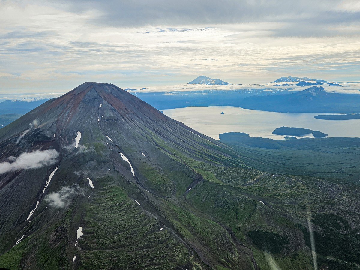
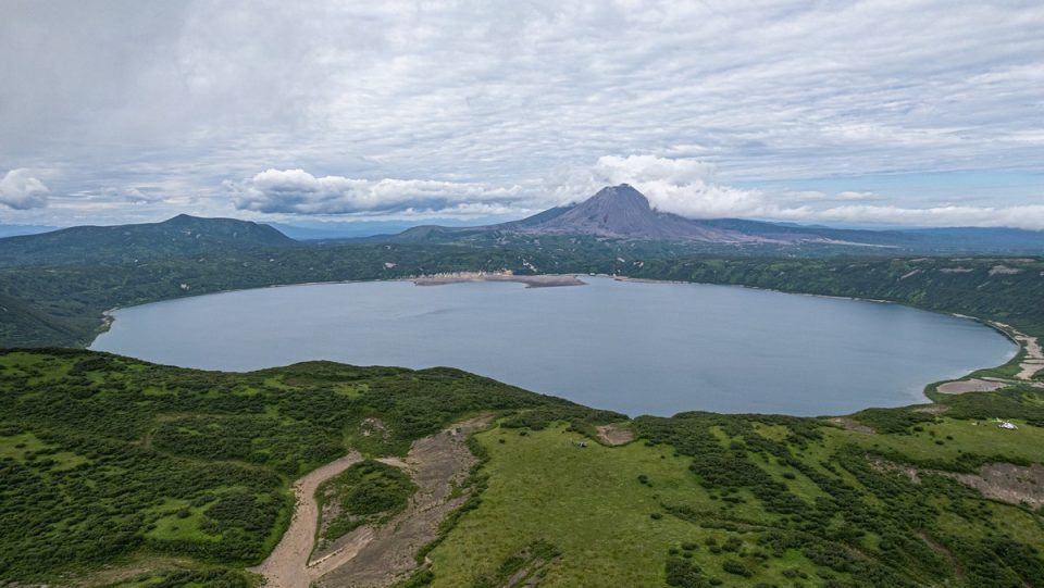
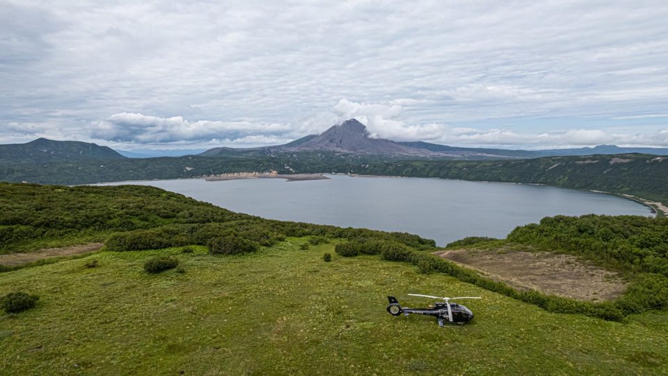
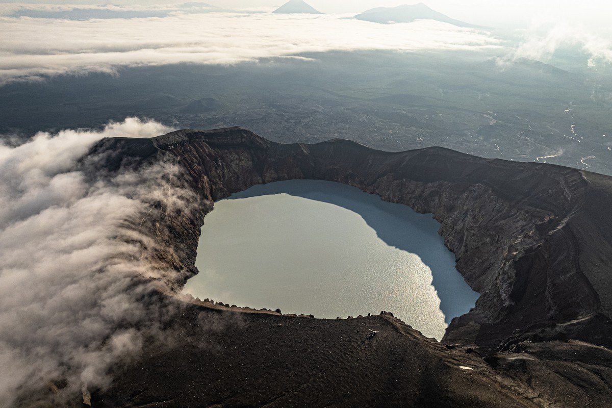
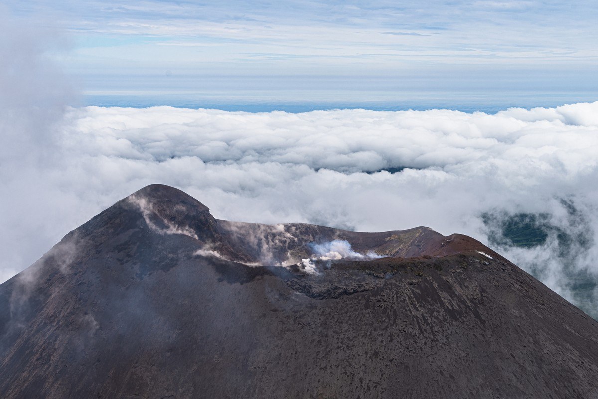
Fifteen kilometers southwest of Maly Semyachik is one of the two largest active volcanoes in Kamchatka (the other is Shiveluch) – Karymsky. Being so big and active, it’s a must-see – but only in fine weather. Alas, this year we simply flew past it a since – as the title of this post states – the weather wasn’t great, plus Karymsky’s peak was shrouded in cloud…
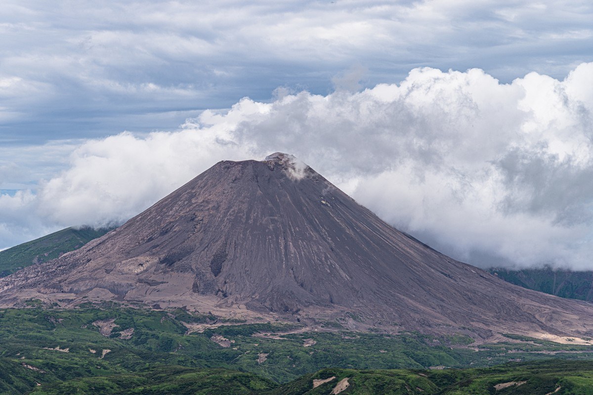
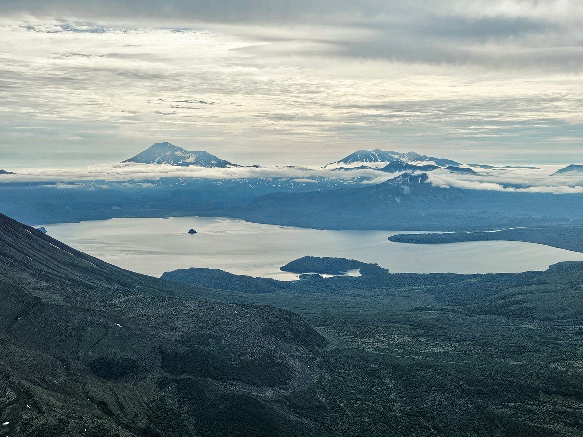
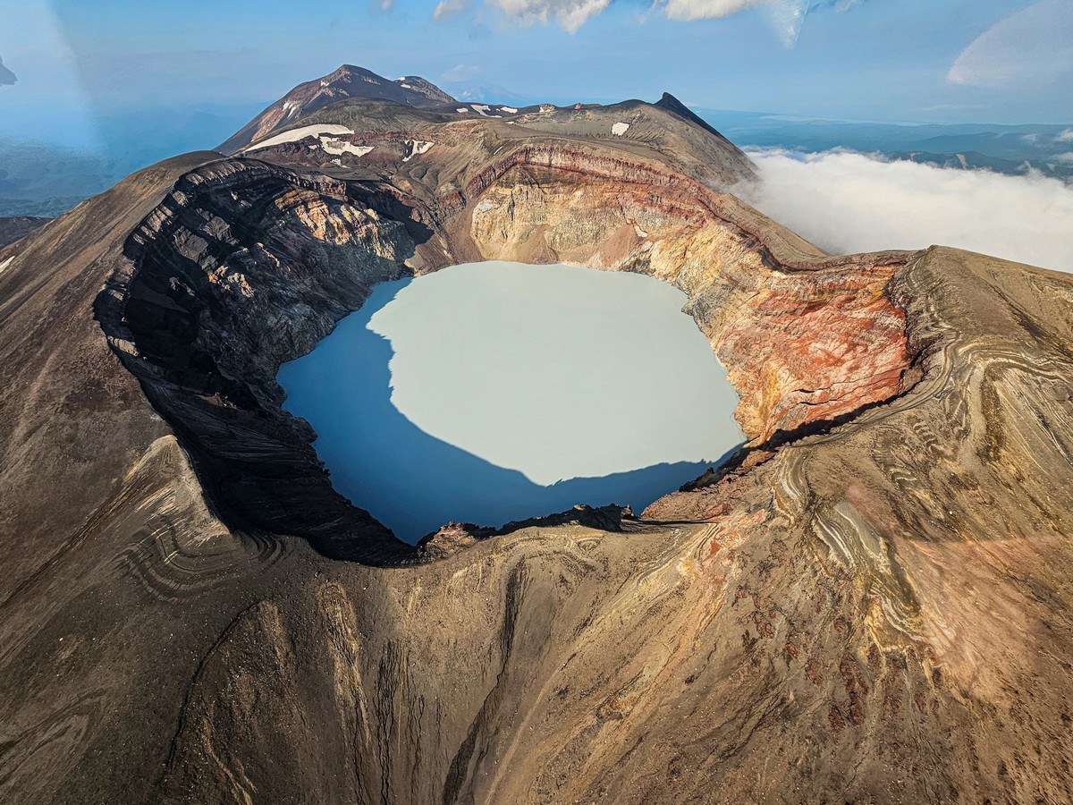
I’d long dreamed of one day sitting on the bank of Karymsky Lake, located next to Karymsky volcano, on a sunny day to be able to take a photo of the volcano’s reflection on the lake’s surface – but this year it wasn’t to be. Next time. Still, even on this overcast day the views weren’t so bad – albeit without the reflection off the lake…
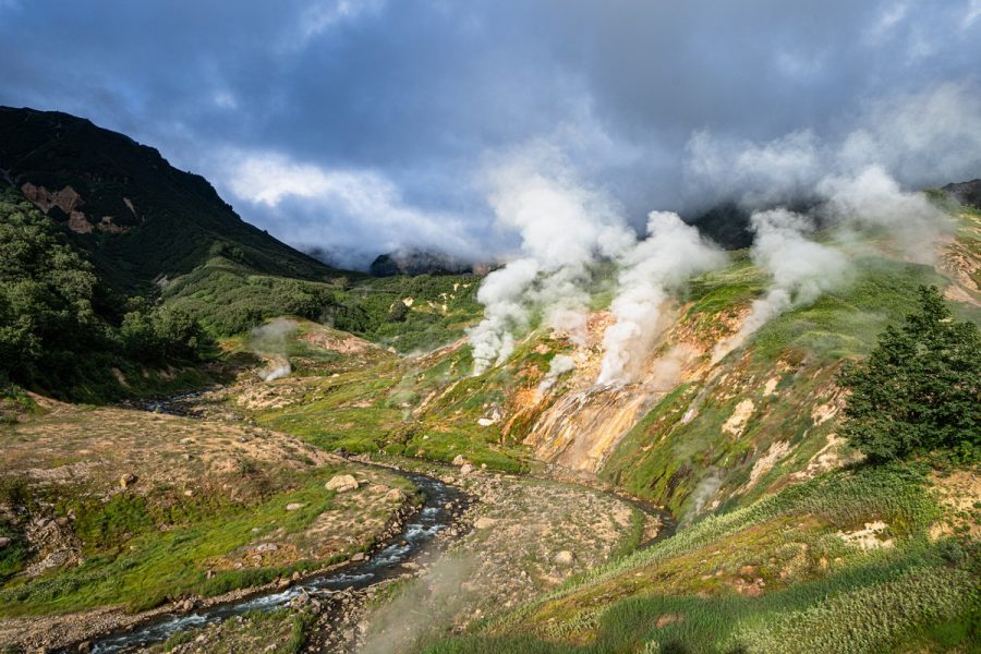
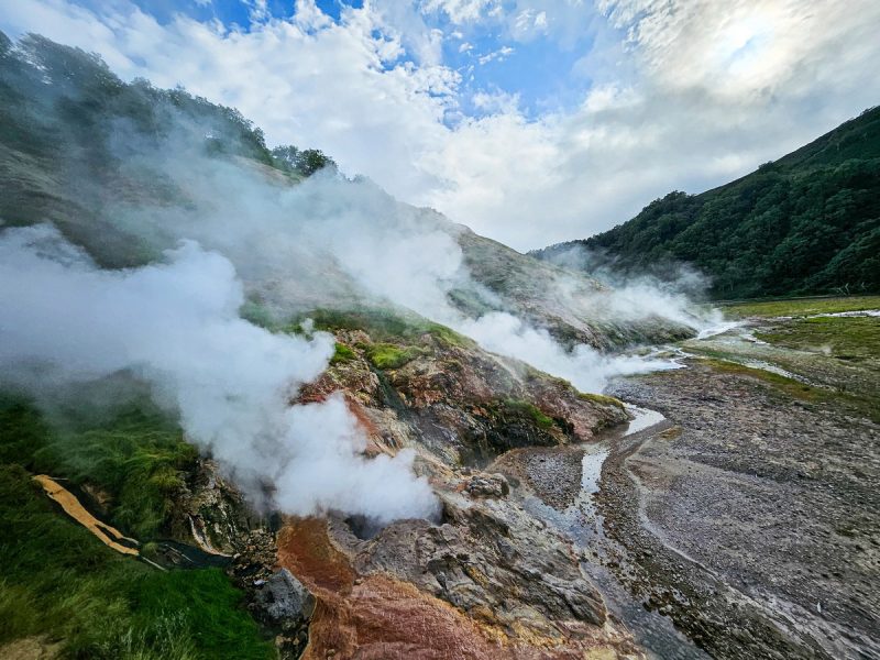
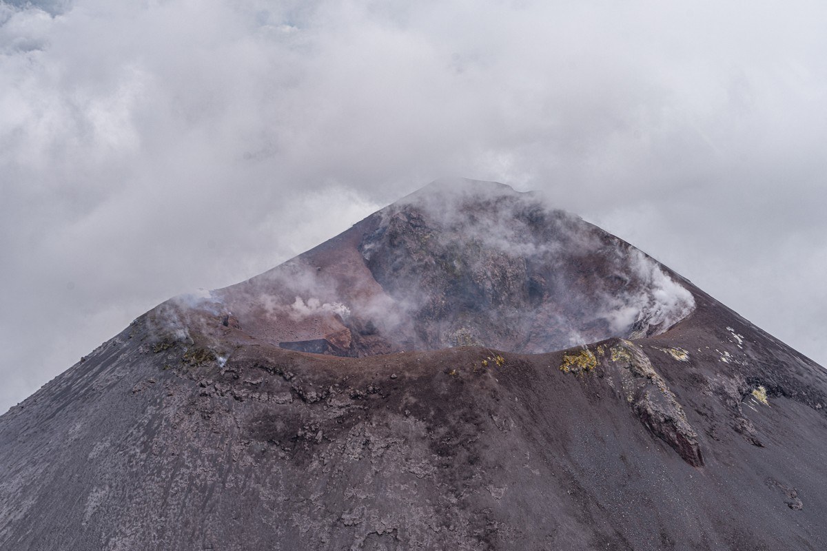
No – that’s not Karymsky smoking; it’s cloud cover ->
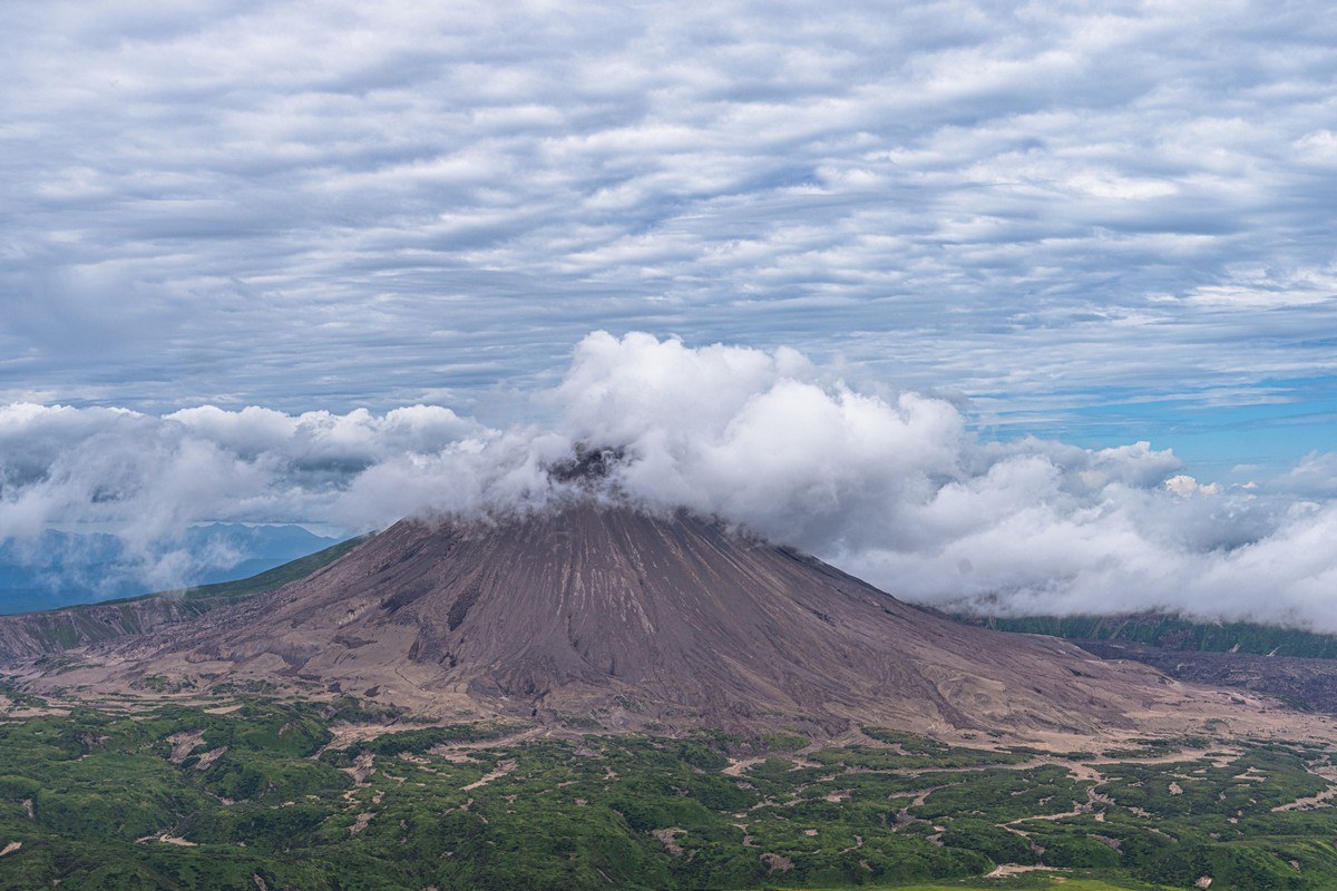
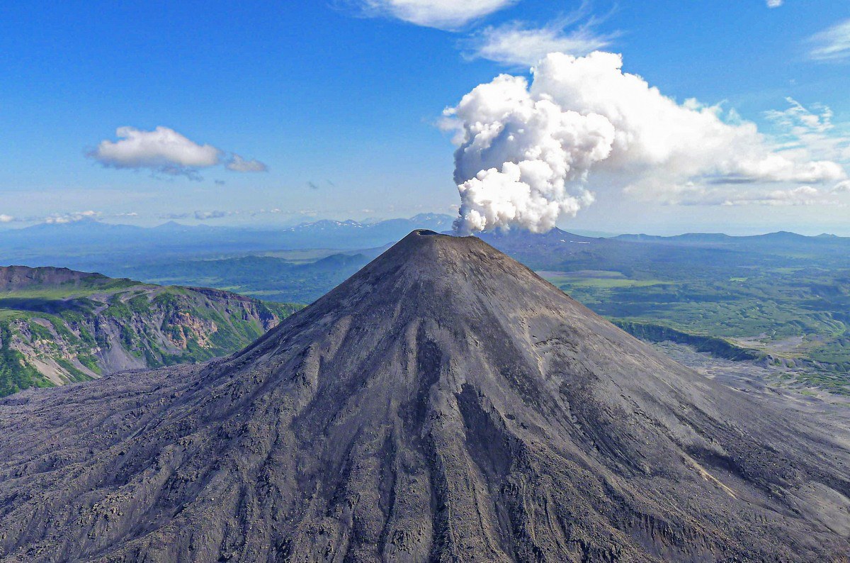
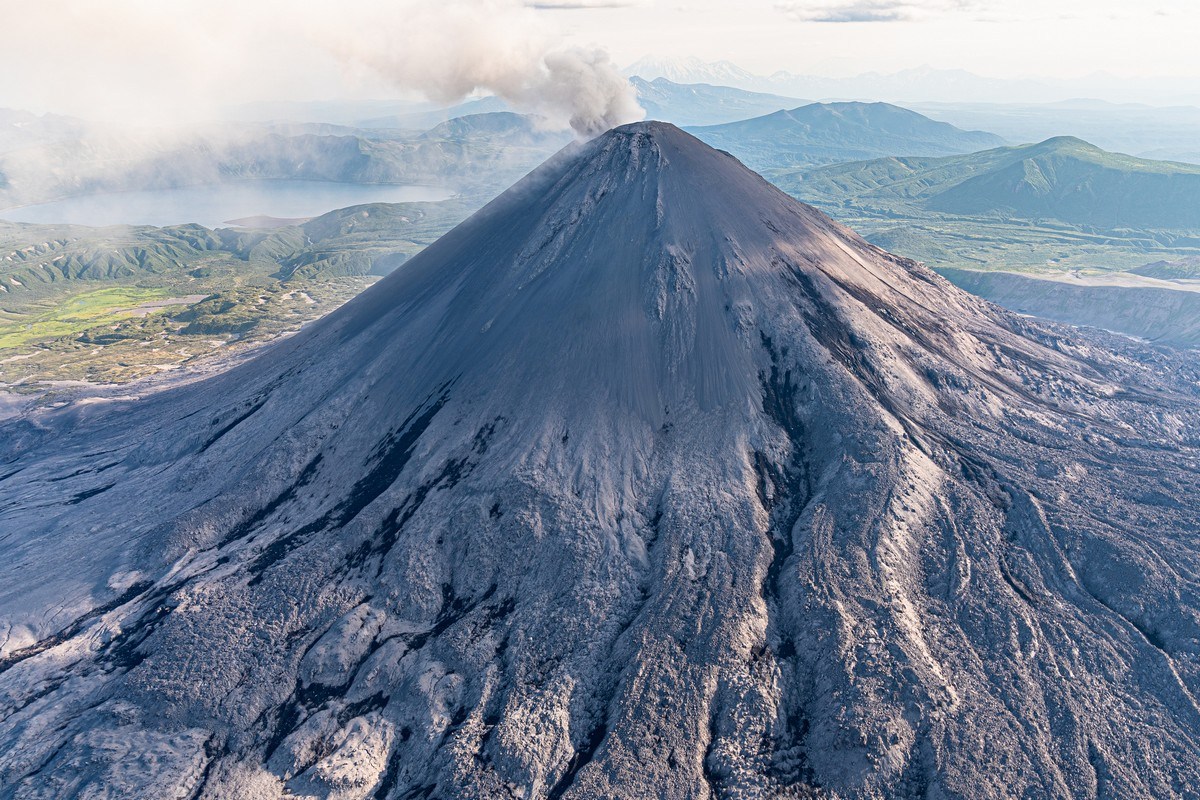
But Karymsky is a known – inveterate! – smoker. Shouldn’t he have given up already? Here he is a few years ago – caught behind the bike sheds ->
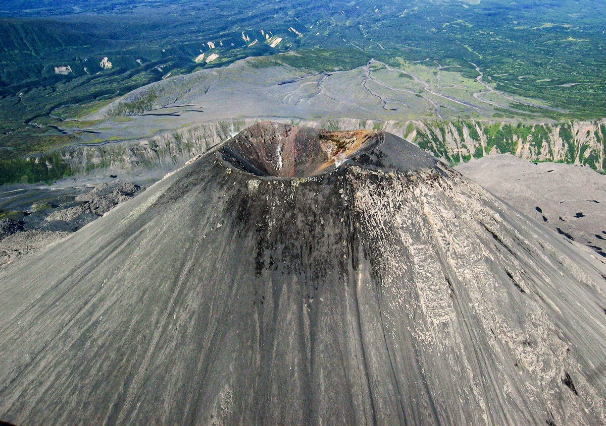
The shape of the cone up top keeps changing as a result of the frequent eruptions…
Here it is in 2006:
Here in 2012:
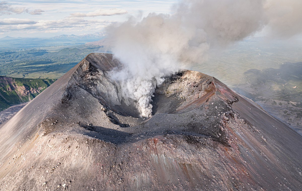
April 2013 (note how one side of the upper cone is warmer than the other) ->
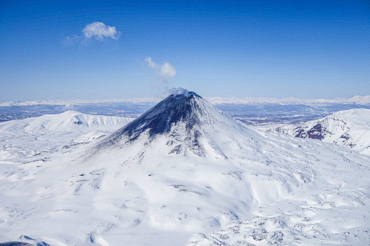
2021 (the cone covered in its own ash) ->
Also 2021:
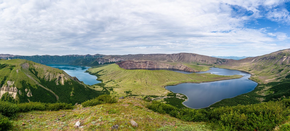
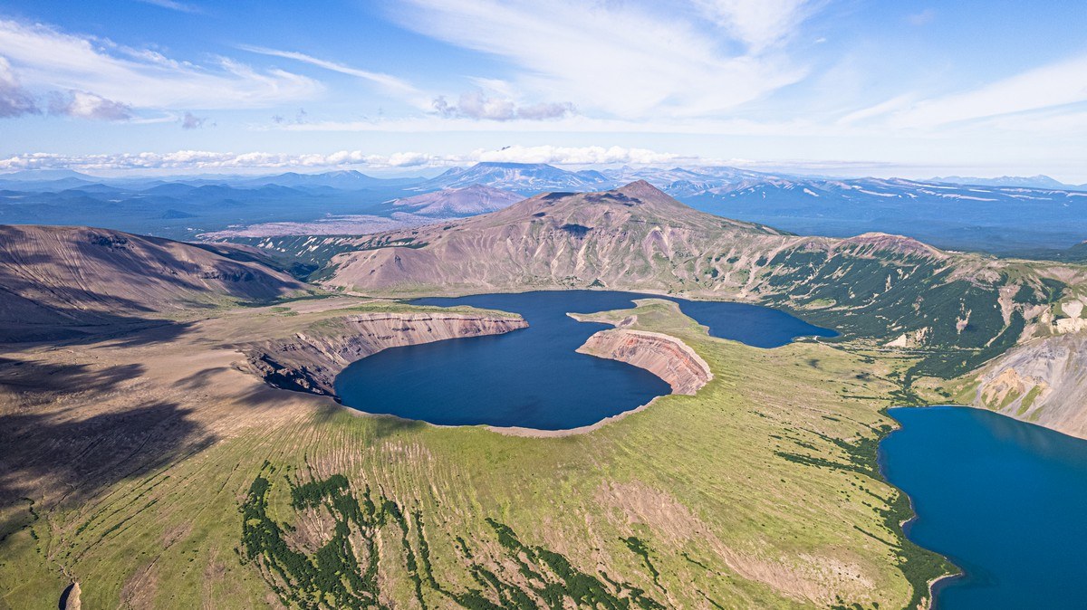
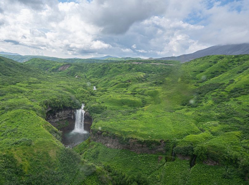
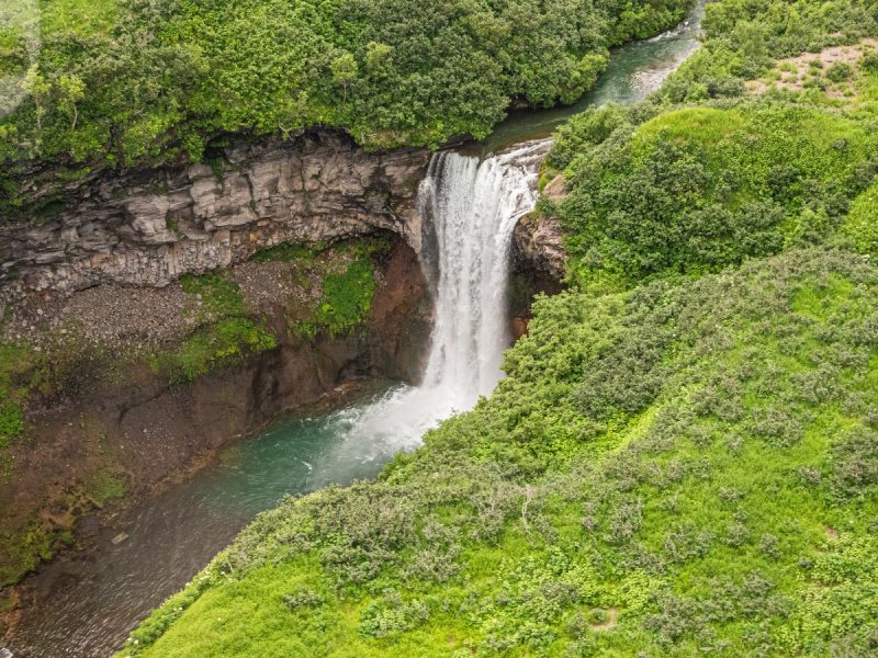
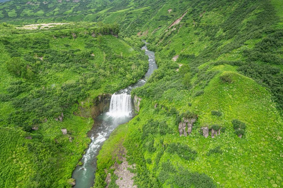
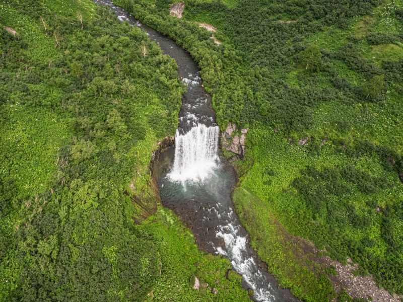
PS: To give you the full picture – between Karymsky and Maly Semyachik winds the Karymsky River (whose source is Karymsky Lake). Yes – names tend to repeat each other round here…
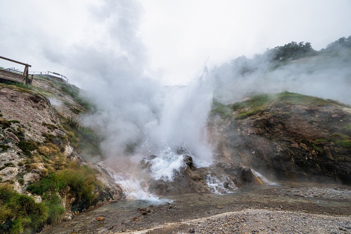
The river’s cut out a canyon and dozens of waterfalls; here are two of them:
And that’s all for today, folks. But I’ll be back soon with more tales from the Kamchatka-2024 side…
All the photos from our trip are here.