Tag Archives: volcanism

Azorean calderean – but no swimmean.

The parks and botanical gardens of the Azores I’ve already told you about. Now for something else no less important – the islands’ volcanisms; in this post, about two of them – the Sete Cidades Massif and Lagoa do Fogo (Lagoon of Fire).

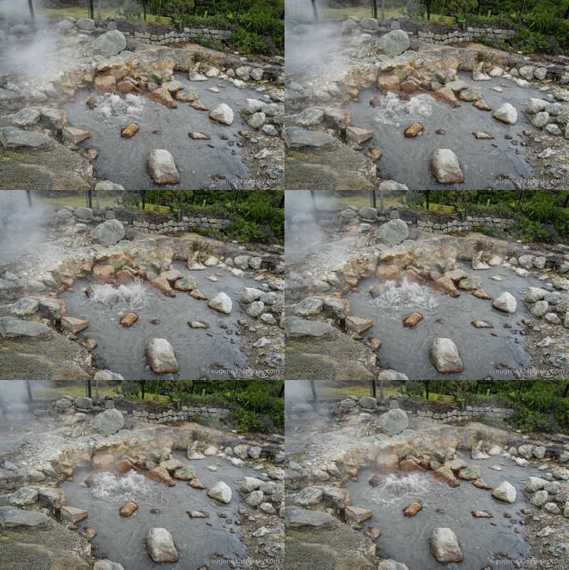
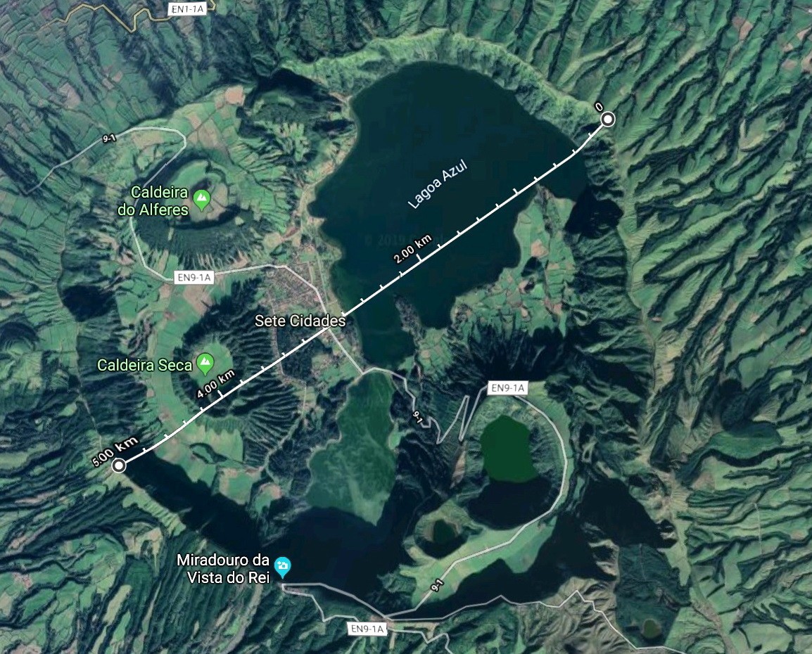
Volcanism No. 1 – the Sete Cidades Massif – a stratovolcanic complex made up of a volcano, a caldera, and a lake in the caldera:

The caldera has a complex structure. It is some 5km in diameter (imagine the eruption involved to create that!), and inside it there are seven partly destroyed and very overgrown younger volcanic cones. Sounds amazing? Looks amazing! ->

Read on…

Quito’s volcano: we couldn’t say no.

Since Ecuador itself and also its Galapagos Islands are both crammed with snowy-peaked volcanism, you might have expected that, after a full two-week expedition there, we’d have been to the top of at least some volcanoes. Well, I guess I would have expected the same too. However, we were on a take-it-easy, contemplative/meditative trip – not a high-octane, stamina-stretching, intense, head-down, onward-and-upward marching one. And one other not unimportant reason – actually, more important than the one just given – is the fact that the snow-capped peaks here are all almost stratospheric – clocking in mostly above five, and sometimes even six thousand meters high. And as any keen volcanist knows – that means acclimatization needs taking very seriously and lots of specialized kit is required; but, like I said – we were in chill-mode throughout the whole expedition, not serious-mode.

However, we did get one teenie-weenie bit of volcanism in – up the ‘easy’ volcano that shrouds Quito: Pichincha. Here are some pics therefrom:

Read on…

Ecuador-2019: Cotacachi/Cuicocha, Otavalo, Puertolago.

Our tour of the Galapagos was over. All that was left to do was fit in our traditional few days of ‘decompression’ after the extreme part of our expedition before we were to head back home. This was to take place back on mainland Ecuador…

…So much for the ‘decompression’ bit: for our next Ecua-dish on the menu was… volcanism ). Yes, we headed over to Cotacachi Volcano and its lovely caldera/lake called Cuicochahere – around two hours drive from Quito.

The height of the caldera differs depending on whom you ask – among locals, various internets, and our own GPS locators. Our locators gave us figures which tallied with what the locals told us: from 3100 to 3450 meters, making the lake around 3km above sea level! And it all looks something like this:

A fairly easy path runs the full way round the lake, which takes around four or five hours if walking at a gentle pace (decompression, remember?:) – or six or seven hours if non-stop-stopping for snapping the super scenery, which is of course what we did. It’s a wonderful day’s walking, and the path is helpfully dotted with clear signs:

Read on…

GALÁPA-GOSH – PT. 8: PENGUINS… AT THE EQUATOR!

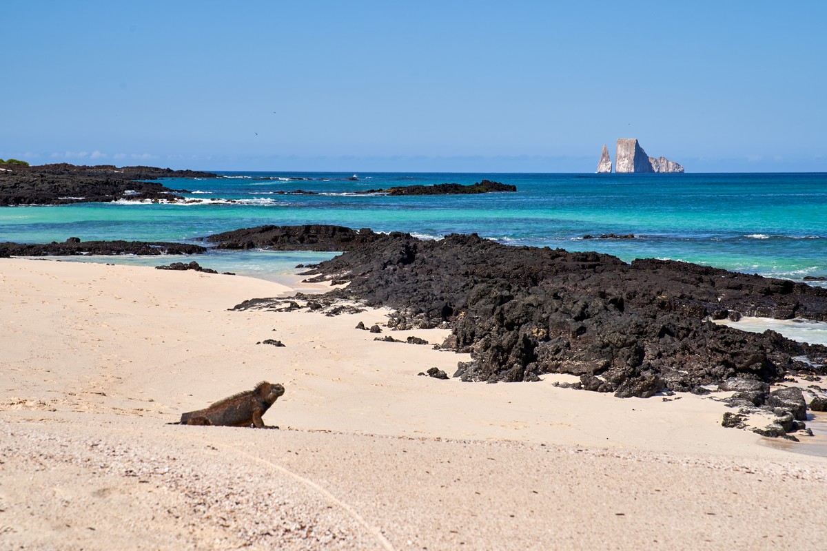
I think this day was the most Ecuad-awesome of all during our boat-based excursion of the Galápagos Islands. Two islands in one day: one with brightly-colored iguanas; the other – with similarly wonderful wild animals and sensational sunsets. The latter wonderful wild animals – I’d been expecting them sooner or later as I’d heard about them before, but here they finally were, in the flesh – Galápagos penguins! Yes, you read that right: penguins! Who’d have thought it – on the equator of all places?!

Read on…

GALÁPA-GOSH – PT. 7: Volcanism, Darwinism, Puerto Ayora-ism…

Hola boys and girls!

Herewith, a continuation of my reportage from the Galápagos Island of Santa Cruz, on which we’d already seen: cacti that defy, surfaces with tortoises, and banana iguanas. Next up… – my favorite: volcanism! In particular: lava tubes. (‘A lava tube is a natural conduit formed by flowing lava which moves beneath the hardened surface of a lava flow. Tubes can drain lava from a volcano during an eruption, or can be extinct, meaning the lava flow has ceased, and the rock has cooled and left a long cave.’ – Wikipedia.

I’d been in such constructions before, in Kamchatka, Sicily, on the slopes of Mount Etna, and in Hawaii. I think that probably most relatively fresh volcanoes in the world feature such lava tubes – and that includes on the Galápagos Islands:

Read on…

Three days on the Condor.

My pals and I love a spot of trekking in remote places around the globe. Just two or three days normally does the trick: enough to get in plenty of gawping at luscious landscapes, plenty of exercise, plenty of curiosity satisfaction, and of course plenty of pretty photography.

And our New Year trip to Ecuador proved no exception. With small rucksacks on our backs (and accompanied by horses carrying the larger items like tents and so on) we walked along a lengthy stretch of the Condor Trek.

Read on…

Skaros: sad story, sensational sunset.

Flying around the world aplenty as I have a habit of doing, I find that – year after year, no matter where, and practically all the time – I come across all sorts of interesting stories about mankind. Sometimes they’re merry stories, but more often than not they’re sad. Why is that? I think it’s simply because throughout the whole history of humanity any upswing ended eventually turned in a downswing (or worse) – sometimes time and time again. But not only do upswings end in downswings; generally, sooner or later, all stories do.

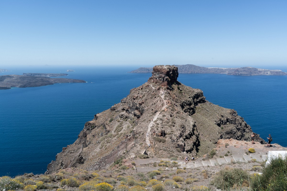
So why all the negativity, you may ask. Well, I’ve just read the story of the ancient settlement-in-rock, Skaros, on the Aegean island of Santorini (where we’re helping out with the archeological digs). This rocky outcrop is part of an ancient ruined volcano – on the edge of the caldera. I’ve seen it many times, taken many a pic of it, and climbed up to its peak. But this here story I’ve only just heard.

Here’s Skaros:

Read on…

Kamchatka-2018: Kam-route, Kam-vids, Kam from outer space.

Hi Folks!

Herewith, the LAST post in the series on our Kamchatka-2018 expedition! No, really. “What? No meandering 30-post extended-version travelogue with several hundred pics?” Nope. Not this year. Don’t worry though: I’ll make up for this year’s scant reportage after the next Kamchatka mission.

But back to this year’s trip…

So. What have I got for you today?

First, of course, there’s the full route taken this year in on the peninsula, with a few assorted pics inserted at different points along the way:

I do hope that this route – plus the few travel-tales in the earlier Kamchatka-2018 posts, or indeed all my Kamchatka notes (and there are a lot of them!) – might make the seemingly daunting destination of Kamchatka a bit less intimidating for some of the more adventurous among you, dear readers. If we can do it – average folks with average fitness levels – so can you! Just follow our route and you’ll be fine ).

Now what else?

As it’s Tuesday, and you’ve probably got enough reading on your plate already, I’ve got for you today a series of videos on this year’s expedition:

1) Expedition highlights:

Read on: Bears in action!…

Leaden sky.

My definition of happiness: In excellent company; in nice weather (under a warm sun and clear blue skies); with oh-my-gorgeous views all around (and no other tourists getting in the way!); not counting the great many kilometers trekked, or the number of rivers waded or zip-lined across, or the masses of mosquitoes and innumerable insects (which mysteriously disappear all of a sudden); having ones mind, body and soul filled with the rejuvenating tonic of exotic expedition; with a fresh wind blowing; with a spirit that is tranquil, contemplative and meditative… where?… – you guessed it: in KAMCHATKA!!

Along wild meadows, dry tundra, and sometimes swampy stretches; across volcanic rubble… – it all equals contentedness.

Read on…