Tag Archives: top100done

Ecuadorian equatorial: warm-up.

Hi folks!

I think I’ve found myself the perfect avatar:

That’s just one of the zillion pics we took in Ecuador recently, one of the billion I’ll be uploading here to this here blog of mine over the next week or so.

Ecuador? Yes – Ecuador, which is where pals and I spent the New Year holidays. No armchair-based Christmas period – drinking too much (tea with honey and lemon, of course), eating too much, and watching telly too much at home. Noooo. Not us. Not our cup of sherry.

So, why Ecuador? Well, the weather in Moscow leaves a lot to be desired around New Year, as you probably know. So said pals and I, IMHO quite logically, like to jet off somewhere very hot and very sunny. But the hot and sunny place must have a few others features, preferably in abundance, including any of the following: mountains, volcanoes, hot springs, hot lakes, ocean, islands, beaches, altitude sickness (!), and a nearby equator. Last New Year it was Indonesia – which ticked practically all those boxes. This year: Ecuador and the nearby Ecuadorian Galápagos Islands, which apparently also pack in the just-listed; especially: beautiful indigenous birds, seals, and turtles, and of course much exquisite Ecuadorial-equatorial scenery.

Good time? Check.

Unforgettable impressions? Check.

Tales to tell? Check – coming right up in a mini-series on these here blog pages.

Photos to show you? Check, as mentioned.

On the photo-front, I was helped out tons by my frequent-fellow-traveler-and-photographer, DZ, who’s been kind enough – and efficient enough – to have edited his trillion pics already. I haven’t even started mine! So for your aperitif before your multi-course feast, here are some of the highlights – exactly 100 pics, btw! – from DZ’s Ecuadorian collection. Ready? Off we pop…

Read on…

Wuyishan paths through crevasses and… tea plantations.

Privet boys and girls!

I know it was only a few weeks ago when I finished my travelogue-mini-series on our China-2018 trip, but I just know some of you are already missing my daily updates of the red, rocky and rainy landscapes of the various Danxia landforms. Well, just for you, herewith – yet more of all that red-rocky-rainy-ness! But it’s not all good news today. The bad news is that there’ll be just one installment – this one – for I really have, finally, run out of pics. I eventually managed to finish editing my last China-2018 gigabytes, and this is the result…

On today’s menu – Wuyishan, or the Wuyi Mountains (武夷山), in the Fujian province. Remarkably, the non-Chinese internet knows about the place, which is surely a good sign that it may be even better than all the other rocky tourist attractions in this part of the country. Let’s see…

Read on…

Enter your email address to subscribe to this blog
(Required)

A turtle, a camel, and more – all in rock.

Hi folks!

Not tired of my tales and pics from our China-2018 trip yet? Or are you used to them already? Then get more of the popcorn in, for here comes another installment of words plus 100+ photos – this time on the tortoise-resembling Guifeng (龟峰), just 60km from the previous day’s Longhu. The www outside China appears to know practically nothing of this tourist attraction; the only thing I could find in English was this. Accordingly, if you do want to find out more about this place, take those two Chinese hieroglyphics, enter them into Baidu or something, then get the net to translate what you get.

If such an operation looks too burdensome for you, there’s an easier option: read on!…

Introducing – the Danxia landform ‘Guifeng’:

Read on…

A plan to scan (a fog-less) Huangshan.

I’ve said this many times before, but I’ll just have to say it again: China has just so many unique natural places of off-the-scale beauty. Mountains, multicolored rocks, brightly-colored lakes. So much beauty that a trip to China is fast becoming a yearly tradition for me.

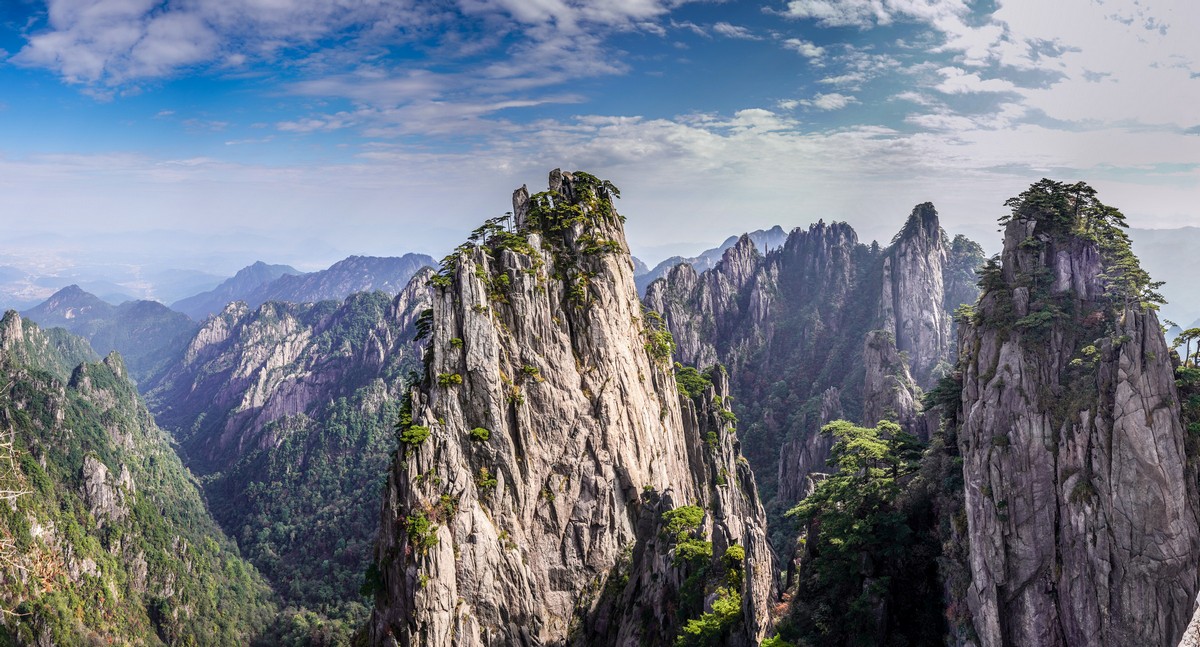
Ok, so here I was – back in China for this year’s portion of picturesqueness. First up this time: Huangshan, aka and literally meaning Yellow Mountain. We were here last year, but that didn’t count as we saw hardly anything of the place due to a thick fog. That’s why we made a beeline for it this year given the clement weather upon arrival. We wanted to finally see what all the fuss is about re this place – so many folks on the internet say how out-of-this-world stunning it is…

Well what can I say? I can say the internet doesn’t (always:) lie. This place is just oh-my-gobsmackingly gorgeous! A jagged-ragged mountain range, granite rock (the stone has a slightly yellow hue to it, therefore the name (黄山)), jutting rock columns with sheer cliff faces and pine trees on the thin peaks. But why am I trying to describe it in words? They will always be lacking no matter how descriptive. Just check out the pics instead:

Read on…

Bahamama Mia!

Get ready folks – this post is full of extremely bright colors. I recommend wearing sunglasses (and a Panama hat) so you don’t get blinded (and sunburned:). For this post is dedicated to the 365 Bahaman islands – cays – of Exuma, one of the most beautiful places in the world…

As often occurs on these here blogpages when I encounter off-the-scale natural beauty, there’ll be few words today and, you guessed it, lots of pics…

Read on:

Panama: ooh la la.

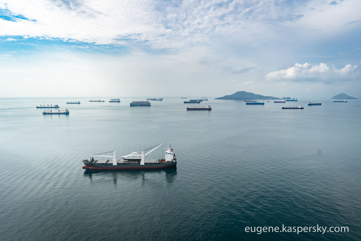
Since the construction of the Panama Canal was deemed: “One of the largest and most difficult engineering projects ever undertaken” (– Wikipedia), I decided it just had to be included in my Top-100 Must-See Places in the World. It was one of those Top-100s I hadn’t visited, but my recent few days in Panama gave me a +1 to my actually-visited Top-100s, and, boy, am I glad: it’s a unique feat of human thought, design and construction, and still the monopolist for marine-bisecting the Americas. And it’s so in-demand that they don’t sell ‘tickets’ for a ship to get through the canal as per some kinda price list; no, they auction them instead – with prices paid sometimes reaching hundreds of thousands of dollars!

It’s also got plenty of fascinating tales to tell regarding its construction. The first attempt to build it – in the 19th century by the French – was eventually called off as money ran out after it overran its completion targets, but not before thousands of workers died during the doomed construction project from yellow fever, malaria and other tropical diseases. The death rate was at one time higher than 200 per month! Oh my ghoulish. (And if my memory serves me well, I do believe it was here that it was first realized that such diseases were in fact spread by mosquitoes.) After work was abandoned (after 22,000 had died) corruption scandals – regarded to be the largest of the 19th century! – ensued. Then the Americans took things over. Later, the Panamanians wanted to seize it over for themselves, and on and on a checkered history of revolutions and other political upheavals.

But let me get away from the politics and back to the hydro-technical engineering…

You can sit and watch the canal’s locks opening and closing, the raising or lowering of the tankers, and their slow movement along the canal forever. Mind-blowing and hypnotic. But if you want more on the history of the place there’s a nice museum too (plus a restaurant with the perfect birds-eye view of the canal’s comings and goings).

Read on…

To the Pole – to meet 11 heroic souls!

Why do folks go to the North or South Pole?

One reason is… actually – no specific reason at all; just to go because… why not? To stand at the top or bottom of the world is just kinda cool.

Another reason: just the extremeness of it all. Some folks prefer a total lack of extremity: comfort, sun, beach, nice home/hotel, all the mod cons. Others are bored by comfort, but they like extreme contrasts between extremity and comfort ).

Another: some folks just follow their instinctual urge to ski and then walk to a pole over several days – only it won’t be ‘several days’, as a polar day can last five months!

Another: surely, some kinda crazy polar magnetism that attracts certain folks!

In the past, there was another reason: to get to a Pole first.

Regarding the South Pole, around 1910-11, two expeditions – Amundsen‘s and Scott‘s – made it to the South Pole, the former pipping the latter to the post pole! The Norwegians made it back too. The Brits, tragically, did not; a sad, yet heroic, tale. Macabrely, to this day, the Terra Nova Expeditioners still lie there, in their tents, long since gobbled up by the Antarctic ice (specifically – and even more gruesomely – under more than 20 meters of snow, and shifted by the glacier ~50 kilometers over 100+ years).

But regarding the North Pole, hmmm… I couldn’t recall who made it there first, so I had to look it up. Well, there are many claims to reaching it first, but the first undisputed one is that of a Soviet expedition in April 1948, i.e., 36 years after the South Pole! Btw, other expeditions soon after followed the Soviets’ lead, while the South Pole waited a full 44 years until it was to be visited by another expedition.

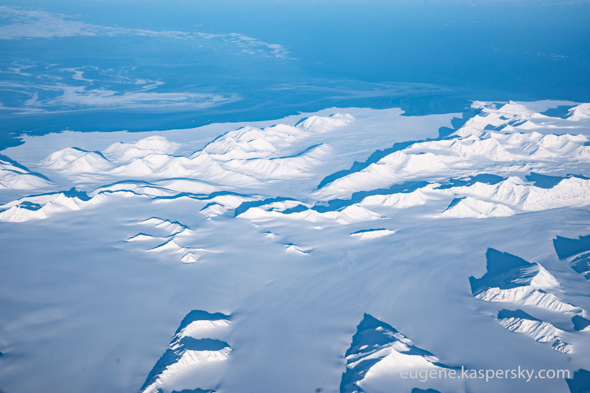
So, it turns out getting to the North Pole is harder than getting to the South Pole. Interesting. The Antarctic climate is much fiercer than the Arctic one, but crossing the firmly compacted snow underfoot in Antarctica is a lot simpler than crossing the loose, fluffy snow of the Arctic. Then there are the fissures in the Arctic ice you have to somehow navigate. There’s also the shorter window in the Arctic for getting to it – before the ice starts melting. In Antarctica there’s no danger of ice melting and merging with the ocean below it – there’s a whole terra-firma continent underfootice ).

Read on…