Hi folks!
So many business trips – so little time for… continuing my tales from the deep-frozen Siberian Far North side! But since flying back from China, let me get back to it. So, where was I? Ah – yes: arriving in the village of Sasyr after nightfall and, given there are no hotels or guesthouses to stay at, we were bedding down in the village school’s gym hall on rubber mats!…
Unusual circumstances? Yes. Original? Indeed. Uncomfortable? No!…
We were warm (here – crucial!), there was food, there was fuel at the nearby filling station (we drove there later), and – most importantly – there was table tennis. What more could you ask for?
The following morning – on the fourth day of our Yakutsk-Tiksi-Yakutsk road trip – after breakfast, we were back on our way on the winter/ice road. Next destination: the village of Khonuu (see the map at the very end of this post). And what an interesting and gorgeous day it was too…
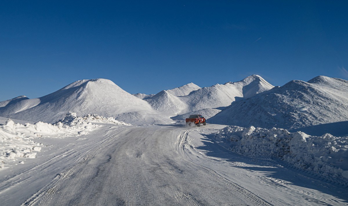
First – warm-up pic:

Read on…