Tag Archives: kamchatka

Rafting in Kamchatka.

Though we’re already well south of Petropavlovsk-Kamchatsky in my Kamchatka-2021 travelogue series, I haven’t reported anything yet on rafting on the peninsula. Well that changes in this post, and now – not later – is as good a time as any, since all our rafting had been done by the time we reached ‘the city’ as there are no decent rafting rivers in southern Kamchatka (perhaps with the exception of the Opala river, but I’ve never rafted it myself).

Over the years I’ve often had the pleasure of rafting in Kamchatka – and mostly in the central part of the peninsula: down the Bistraya (fast) river (near the village of Esso), the Bistraya (!) river near the village of Malka (the southernmost stream/river I’ve rafted down), and also the Icha river.

I won’t go into detail here, but I will say is that rafting in Kamchatka is a welcome alternative activity when trekking up to and around volcanoes might become a bit too samey for some (it can never be too samey for me, but there’s no accounting for taste bizarre viewpoints:). In short, the rafting = adrenaline rushes: check; wonderful Kam-scapes whizzing past: check; oar action as one’s daily fitness activity: check; much beauty and meditation possibilities: check.

Read on…->

How to experience the Kamchatkan volcanoes Gorely and Mutnovsky properly.

Wanting to continue my travelogue series ‘southward from the city’, I looked back at some of my older Kamchatka chronicles, and I found this neat little ‘southward from the city’ synopsis, from 2015:

“In my humble opinion, Kamchatka is the most fascinating and beautiful place on the planet. Voluptuous volcanoes with colossal craters with multicolored lakes, + unearthly surrounding landscapes, geysers and hot springs, + lazy wild brown bears roaming free, + red caviar applied on your sandwiches not with a knife or teaspoon but with a spade :).”

And, indeed, I was thinking maybe I’ll pass going over old ground – the Kam-wonders that are reachable by car within a day, but then I reconsidered…

The main reason is… I occasionally read folks’ travel notes from their trips to southern Kamchatka, and they’re… just silly! Example: a group will report proudly how they made it to the top of the volcano Gorely. But getting to the peak completely misses the point: what needs doing is a trek along the top-rims of the craters – full circle, and the same goes for other volcanoes here. Then you get a whole day of the most amazing natural beauty all around you, while you steadily plod along. Racing to a peak, taking a few pics, then racing back down again – where’s the fun in that? What is the point? See – it’s like I say: just silly ). So, that’s my first reason for not passing over some previously-reported volcanisms: to make up for the sacrilege that’s out there on the internet!

Accordingly, here, today, dear readers: Gorely review! In particular – the multicolored lakes thereof.

First – to the readers who haven’t (yet:) been to Kamchatka: this is a volcano that is categorically visit-mandatory! I know I rave about most any volcano on the peninsula, but this one really is A-list, VIP, elite, etc. Alas, neither Google Maps nor Russia’s Yandex Maps shows the full topology of this volcano, but that doesn’t make it any less awesome in the flesh. The main thing: the sheer size and… ambiguity of the structure of this volcano – plus the lakes in its two main craters.

Read on…

How to ease yourself into Kamchatka gently.

My Kamchatka-2021 chronicles resemble a tourist guidebook already! And since that’s the case, I simply couldn’t not include the wonderful Nalychevo Nature Park, which is a stone’s throw from… the city, and, as such, can easily be recommended as a tourist’s first Kamchatka experience after flying in for the first time. Why else? Because it has a bit of everything: beautiful volcanoes; hot springs you can bath in; boiling, bubbling, gurgling muddy pools; and hissing, steaming – stinking! – bright yellow fumaroles. Besides, the tourist infrastructure of the park is pretty civilized – paths, cabins, and even as far back as 2006 distance posts appeared along tracks and wooden bridges were built over the streams.

The park features natural beauties such as this one:

Read on…

Enter your email address to subscribe to this blog
(Required)

“The city’s” disappearing volcanoes.

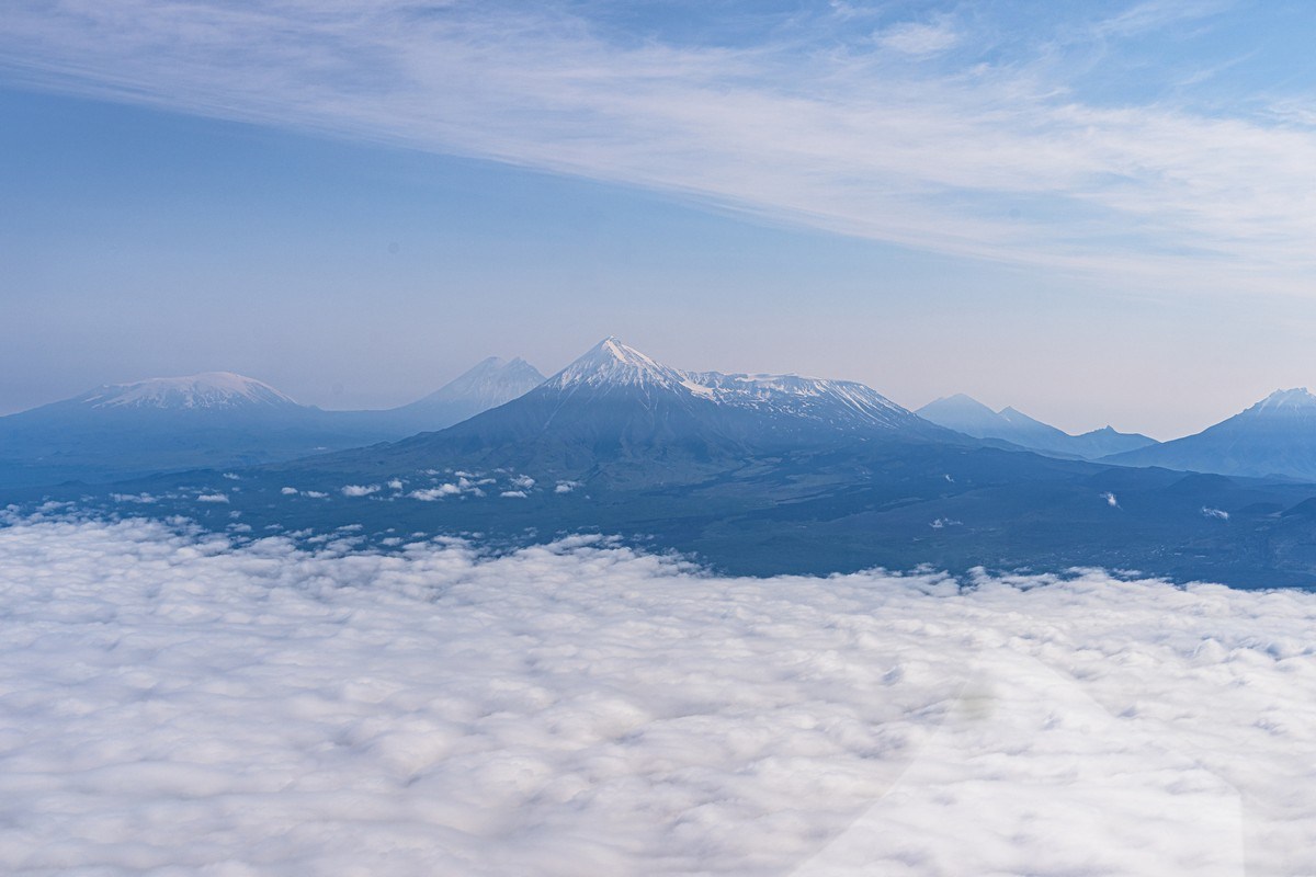
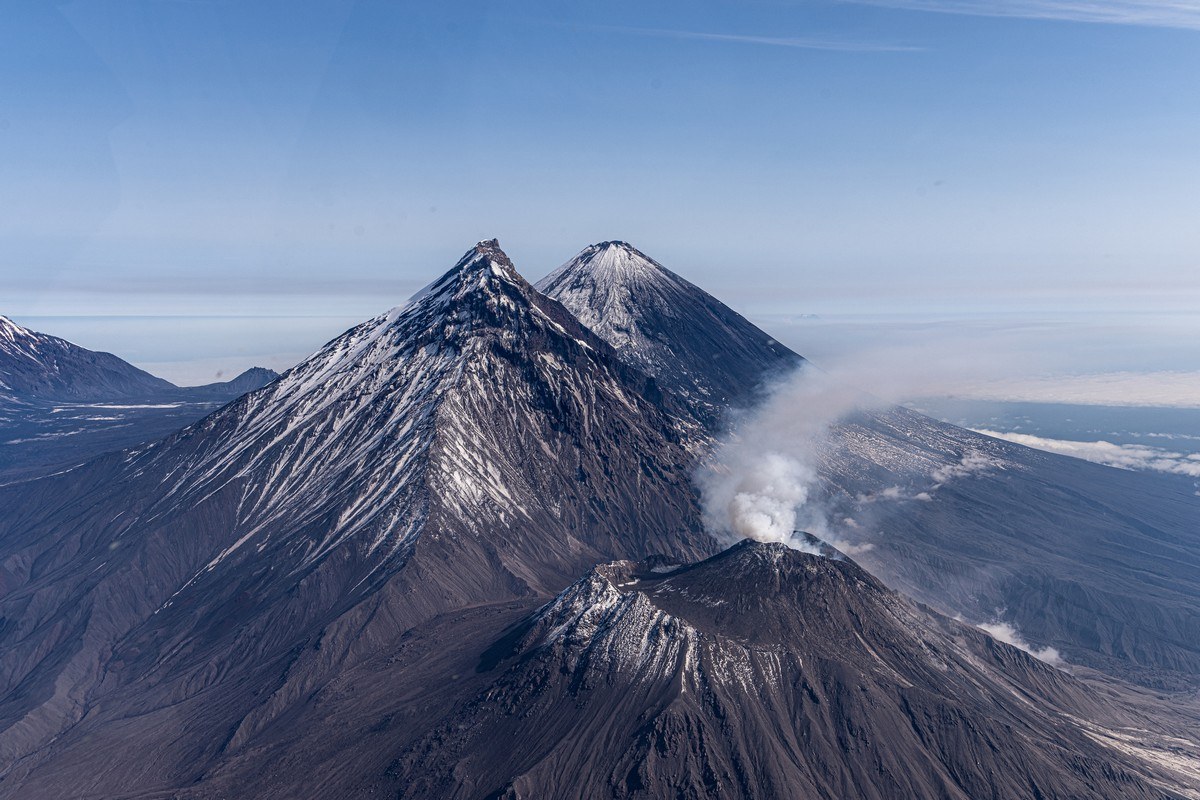
I’ve already told you what a Kamchatkan mirage is, haven’t I? Briefly, again: it’s when a whole volcano can simply disappear. Oh yes. “But surely you mean just the peak of a volcano can ‘disappear’, say – in some mist or fog or in some low cloud, right?” some of you may understandably ask. Actually – no. Whole volcanoes. Whole, gigantic volcanoes! Like, these, for example, next to… ‘the city’:

“Which city is that?” you may also ask…

‘The city’ is in fact Petropavlovsk-Kamchatsky – which used to be the only city in Kamchatka. All other settlements on the peninsula are smaller than city-size: like towns (today there are a further two: Yelizovo and Vilyuchinsk), villages, or even smaller. Since Petropavlovsk-Kamchatsky was long the only city, it was – and still is, out of habit – referred to by all locals as simply ‘the city’: you never hear its full name uttered. So you hear things like: “I’m in the city”, or “I’ll meet you in the city”, or “there was a bear roaming the city this morning”! :)

Read on…

The ever-changing landscapes of Kamchatka’s Valley of Geysers.

Onward – and further down toward the southern end of Kamchatka…

Kizimen and Kronotsky volcanoes – duly observed; the gurgling of Uzon caldera – duly whiffed!

Next, the Valley of Geysers – another unique natural feature: a valley of hissing, steaming and bubbling water (& volcanism). Moreover – hissing, steaming and bubbling over a large area:

Read on…

Southern Kamchatka: two more king-‘canoes: Kizimen and Kronotsky.

Northern Kamchatka – done!

Time to slither further down the peninsula to its bottom end, where there are just as many outstanding volcanisms as in the north – if not more…

First stop – another spectacularly splendid volcano: Kizimen, situated some 70 kilometers south of Tolbachik. Austere in appearance; climbing it… no thank you, I’d rather not risk it. For example, here she is in March 2013:

Steep sides, and lots of fumaroles at the top where special protective clothing and gas masks would be needed.

Read on…

Greater Tolbachik: Northern Fissure, Dead Forest, and the ‘Star’ nano-volcano with lava tunnels.

One of the unique natural phenomena of mid-Kamchatka is Severniy Proriv – Northern Fissure – a site where, as a result of a ‘fissure’, or crack, which formed during the 1975-76 big eruption of Tolbachik, three symmetrical cones of volcanic slag were left behind.

Such fissures are a rather rare volcanic phenomenon, but this one was predicted by volcanologists based on their constant observations of seismic activity around these parts in the mid-seventies: in 1975 the frequency of earthquakes around Tolbachik sharply increased – which meant that somewhere nearby there was lava bubbling up nearer and nearer the earth’s surface. So an expedition of volcanologists was dispatched there, who were lucky enough to observe the eruption from the very start. As a result this eruption was very well-documented and on the internet there’s a mass of information about it – admittedly, mostly in Russian. Today, the three cones formed by the Severniy Proriv – now collectively called Severniy Proriv (are you keeping up?:) – are still there, and they’re three mega-beauts:

Read on…