December 9, 2025
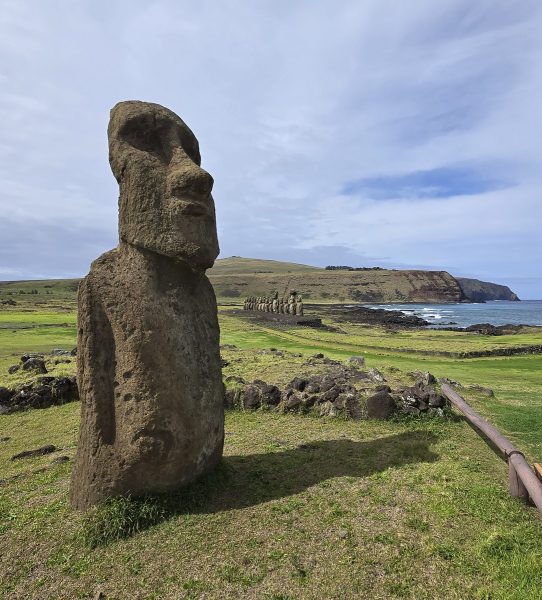
Easter Island – places to stay, and a fond farewell.
In this, my last post in the series on Easter Island, a few words on day-to-day practicalities: how to get there, where to stay, and how to get around the island.
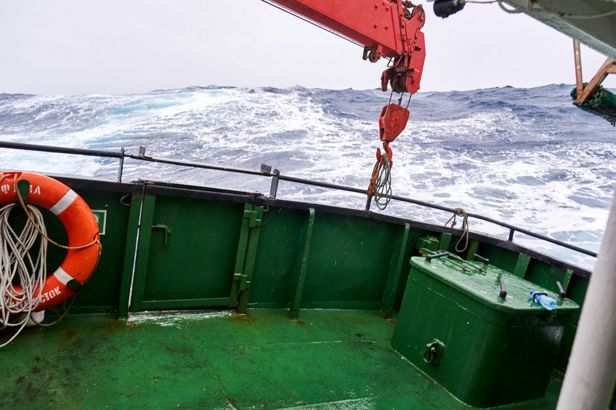
There are two ways to get to Rapa Nui: either a five-hour flight from Santiago (and getting to Santiago from anywhere on the planet is straightforward – albeit often long-winded:), or a two-week (!) boat trip from Valparaiso, Chile’s main port, which is about 120km from the capital. There used to be flights from Lima, Peru, too, but they stopped during covid in 2020, and somehow they just never resumed after that.
Anyway, back to the Santiago > Easter Island route…
Either one or two large planes do the route there and back daily. But on days when two planes fly, the lines at the airport in Santiago grow to truly inhumane lengths. We ended up queuing for our boarding gate all the way to the very furthest corner of the airport – in a line that stretched at least a hundred meters. Still, one should only ever remember the good stuff (and don’t let anyone tell you otherwise)! So, just read these lines, forget about them – and then go ahead and dream about planning your own Easter Island trip!…
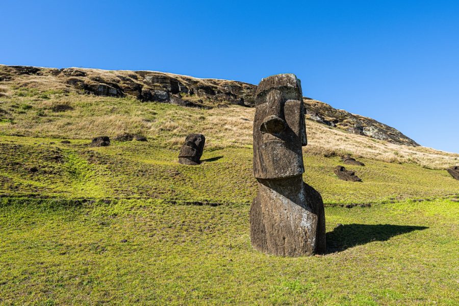
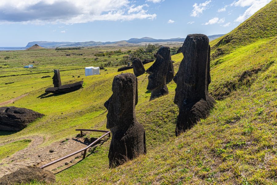
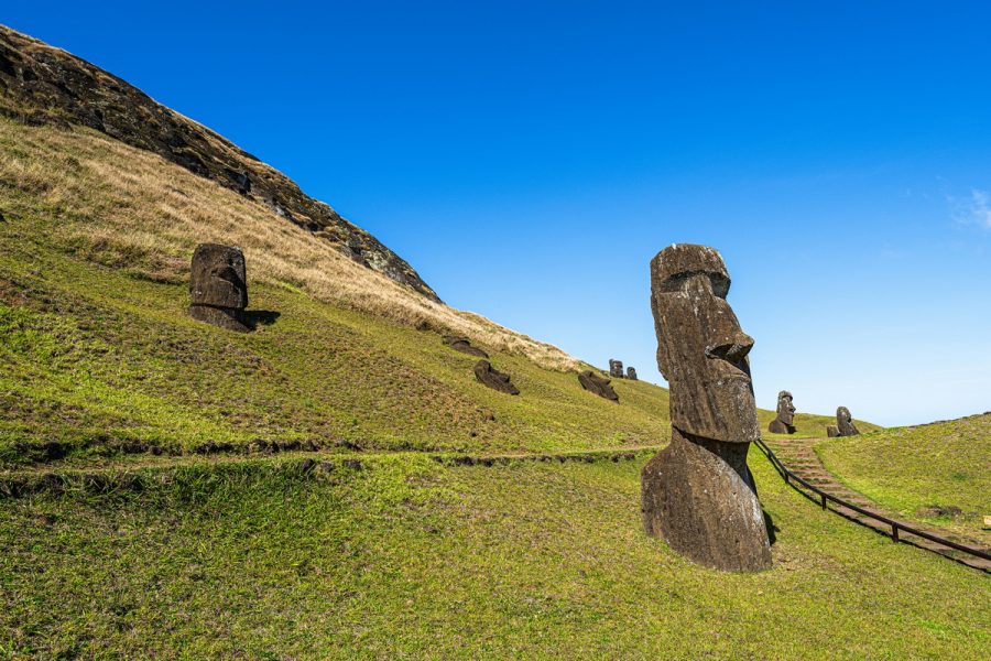
Once there, how do you get yourself to the various tourist spots dotted across the whole island? You can do so yourself in cars, on scooters or bikes you can rent. But if you do, it’s better if you know Spanish, because almost every site charges entry, and there’s no guarantee anyone at the entrance speaks a language you know. We rented a mini-bus with a local guide, who was half-Spanish and half-Rapa-Nui, but unfortunately he didn’t speak the language of his island ancestors. (Curious fact: “Rapa Nui” = the Rapa Nui people, the Rapa Nui language, and the island of Rapa Nui!)
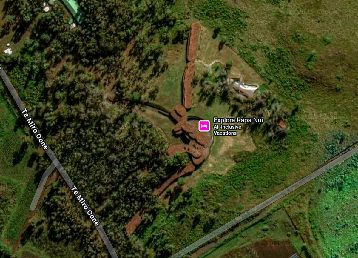
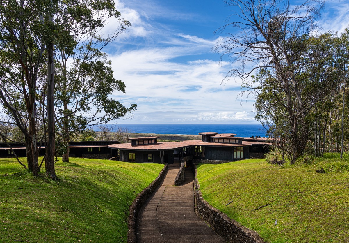
Next – where to stay? There are lots of options. We were apparently booked in at “the best place on the island” – the Explora Rapa Nui hotel, here…
And here ->