December 14, 2024
Ganalsky spikes, massive Benard cells, and a dip in Lake Tolmachova.
Onward – southward, from Bakening in the direction of Lake Tolmachova – where we were to stay overnight next…
The scenery – once again – magical:
NOTES, COMMENT AND BUZZ FROM EUGENE KASPERSKY – OFFICIAL BLOG
December 14, 2024
Onward – southward, from Bakening in the direction of Lake Tolmachova – where we were to stay overnight next…
The scenery – once again – magical:
December 13, 2024
Hi folks!
Kamchatka – the remote peninsula that just keeps on giving (you more and more OMG-astonishing-bewildering-meditationing-mindblowing impressions and sensations). But you know that already if you’re not new to this here blog of mine. If you are new – read on: you’ll get the drift in a single post – this one!…
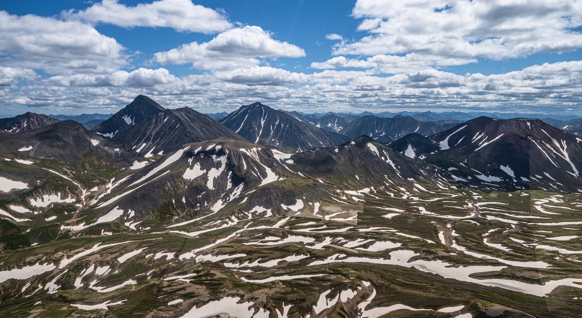
And so, onward we choppered – along the Sreddiny Range after our brief landing on Khangar. Next up – as you’ve already guessed from the title: the volcano called Bakening. No – not Báke-ening, but Bakéning, so you can banish images of either baking a cake, or frying streaky bacon with your full English right now – before you work up an untimely appetite!…
[Returning from the kitchen…] Now where was I? Ah yes – Bakéning volcano…
December 11, 2024
Hi folks!
The Kamchatkan peninsula is where the North American and Pacific tectonic plates meet and constantly rub against each other – warping, destroying, and rebuilding the territory. This process leads to all sorts of natural wonders – both underground and on the surface…
Now, the volcanoes we’d already checked out on our Kamchatka-2024 trip (the Klyuchevsky group, Kizimen, Tolbachik, the Uzon caldera, the Valley of Geysers) happen to be rather new creations of nature. The Valley of Geysers is only several thousand years old (judging by the geyserite, apparently), and the mentioned volcanoes and others nearby are also mere wee nippers: merely tens of thousands of years old – not millions, and certainly not tens of millions like, for example, the Himalayas.
Thus, the east coast of Kamchatka and all the volcanisms along it I’ve already shown you are all relative new kids on the block peninsula. But down the middle of Kamchatka is the so-called Sredinny Range (sredinny = middle) – where there was volcanic activity hundreds of thousands of years ago – if not millions…
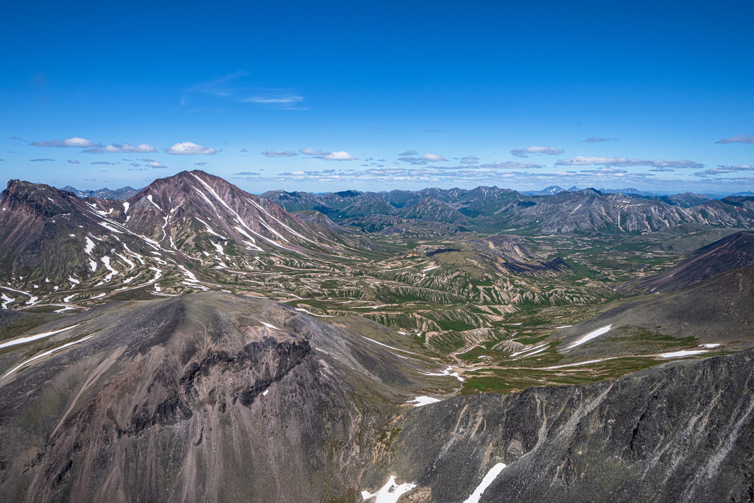
And it’s beautiful – incredibly so. And that’s where we were headed next…
December 10, 2024
Fifteen kilometers southwest of Maly Semyachik is one of the two largest active volcanoes in Kamchatka (the other is Shiveluch) – Karymsky. Being so big and active, it’s a must-see – but only in fine weather. Alas, this year we simply flew past it a since – as the title of this post states – the weather wasn’t great, plus Karymsky’s peak was shrouded in cloud…
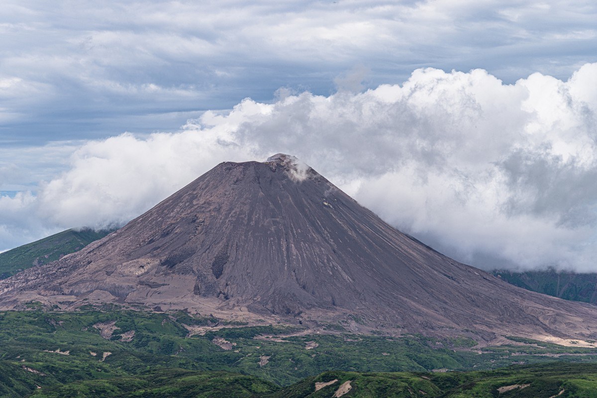
I’d long dreamed of one day sitting on the bank of Karymsky Lake, located next to Karymsky volcano, on a sunny day to be able to take a photo of the volcano’s reflection on the lake’s surface – but this year it wasn’t to be. Next time. Still, even on this overcast day the views weren’t so bad – albeit without the reflection off the lake…
No – that’s not Karymsky smoking; it’s cloud cover ->
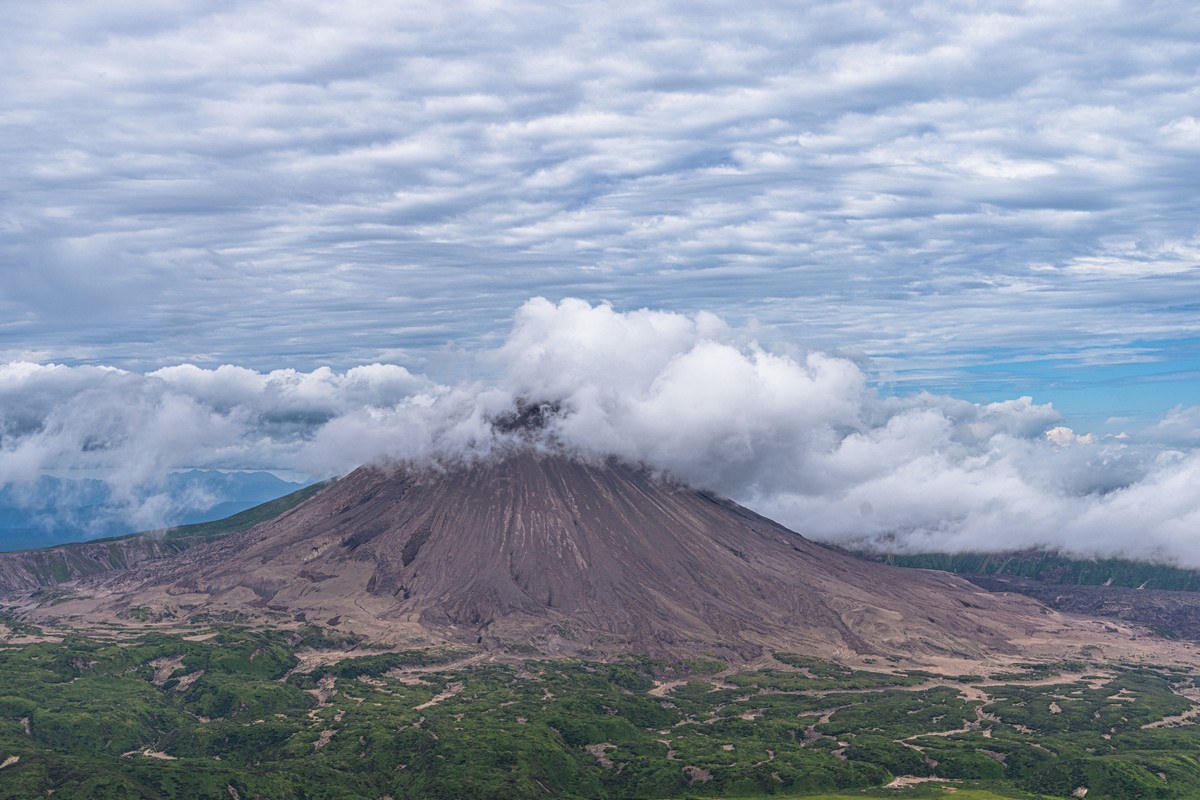
But Karymsky is a known – inveterate! – smoker. Shouldn’t he have given up already? Here he is a few years ago – caught behind the bike sheds ->
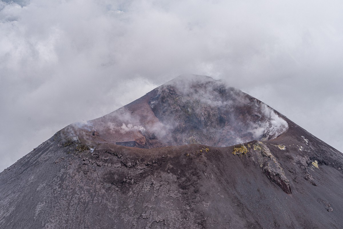
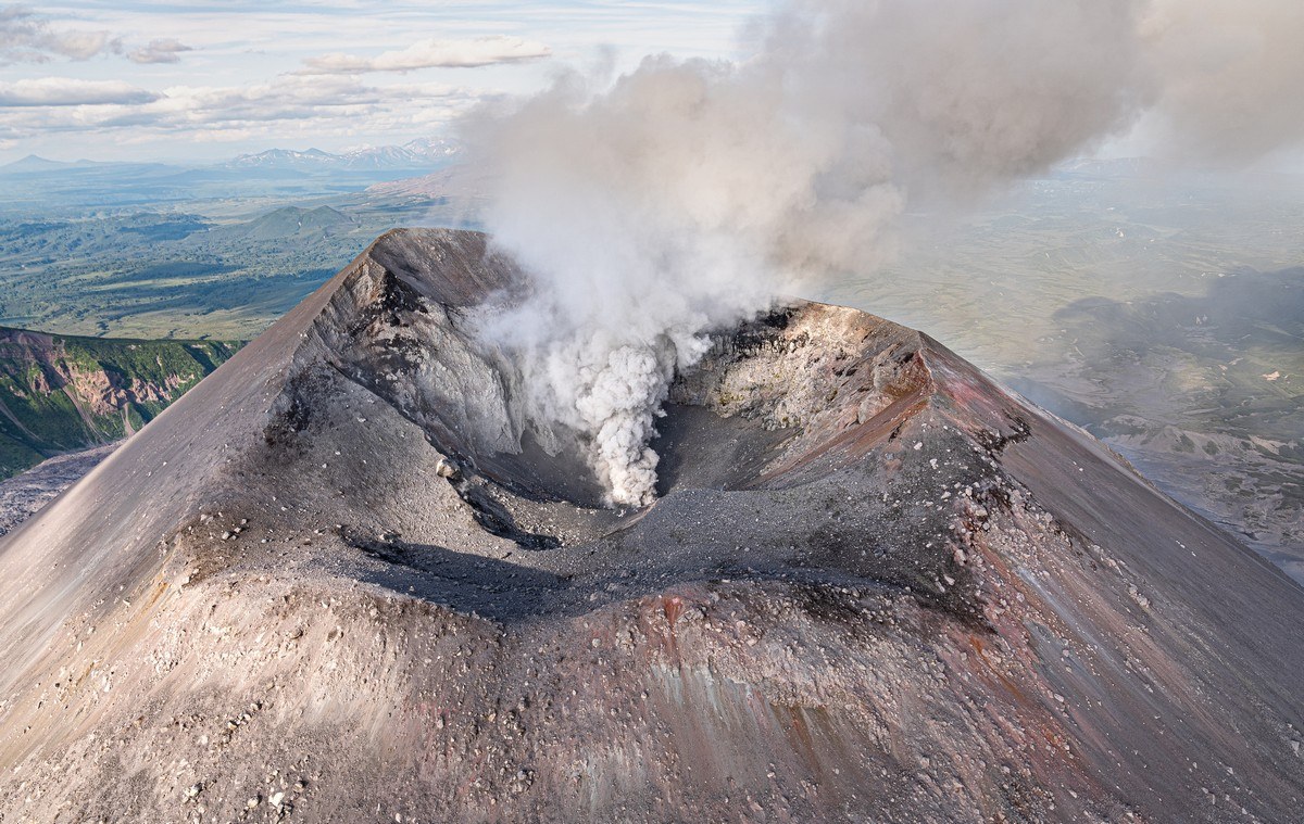
The shape of the cone up top keeps changing as a result of the frequent eruptions…
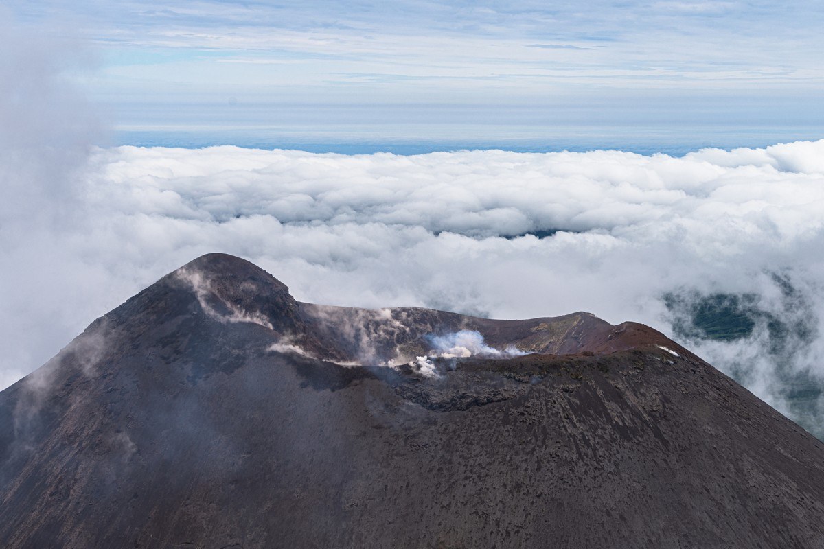
Here it is in 2006:
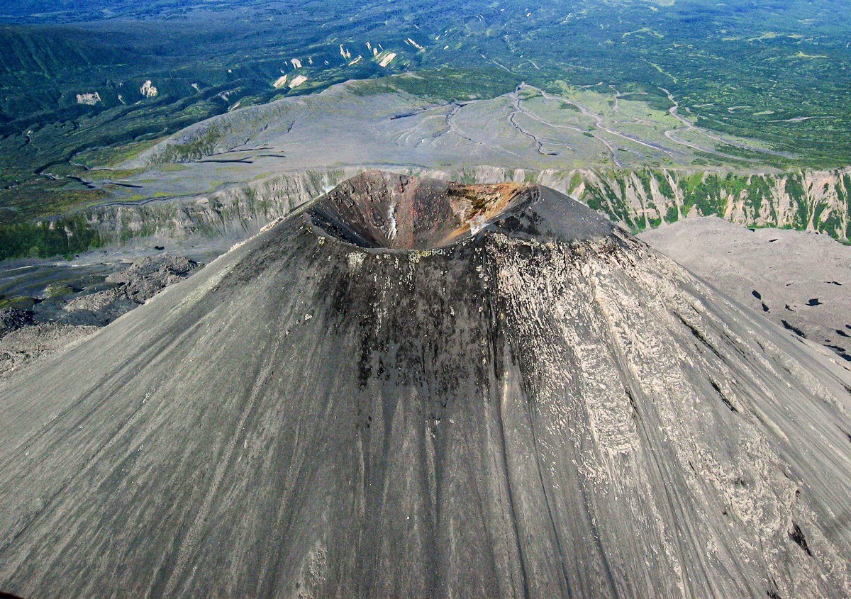
Here in 2012:
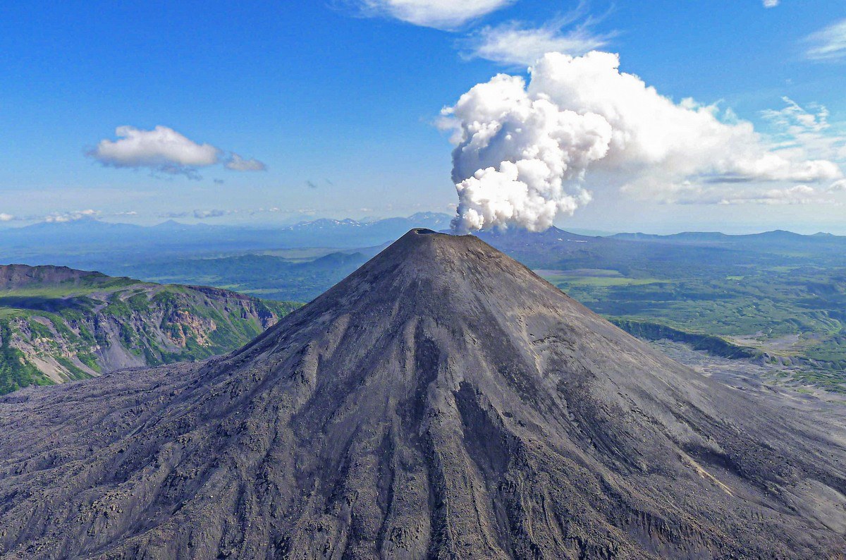
April 2013 (note how one side of the upper cone is warmer than the other) ->
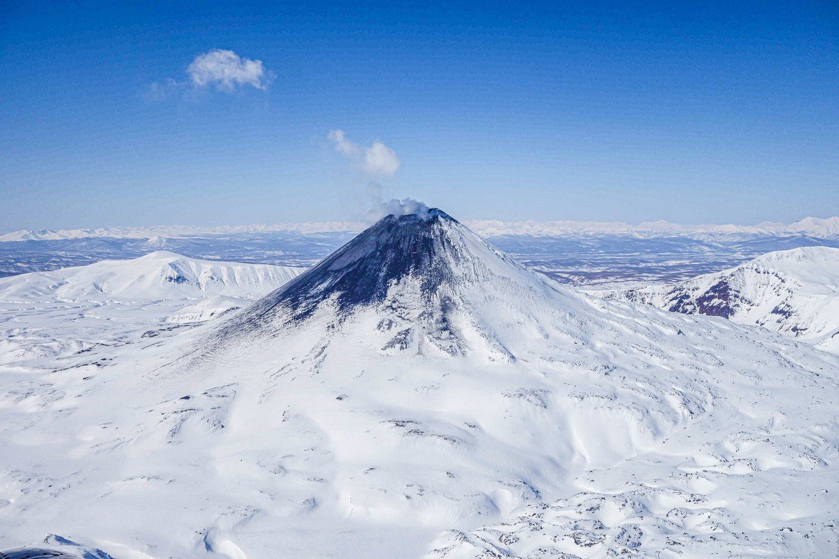
2021 (the cone covered in its own ash) ->
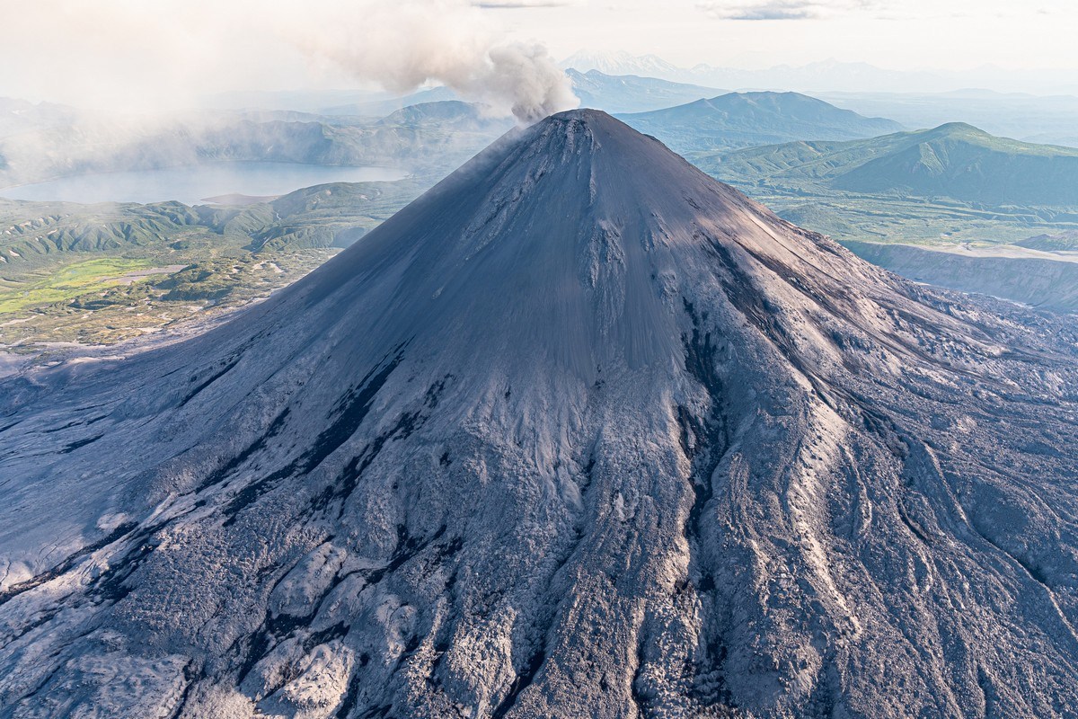
Also 2021:
PS: To give you the full picture – between Karymsky and Maly Semyachik winds the Karymsky River (whose source is Karymsky Lake). Yes – names tend to repeat each other round here…
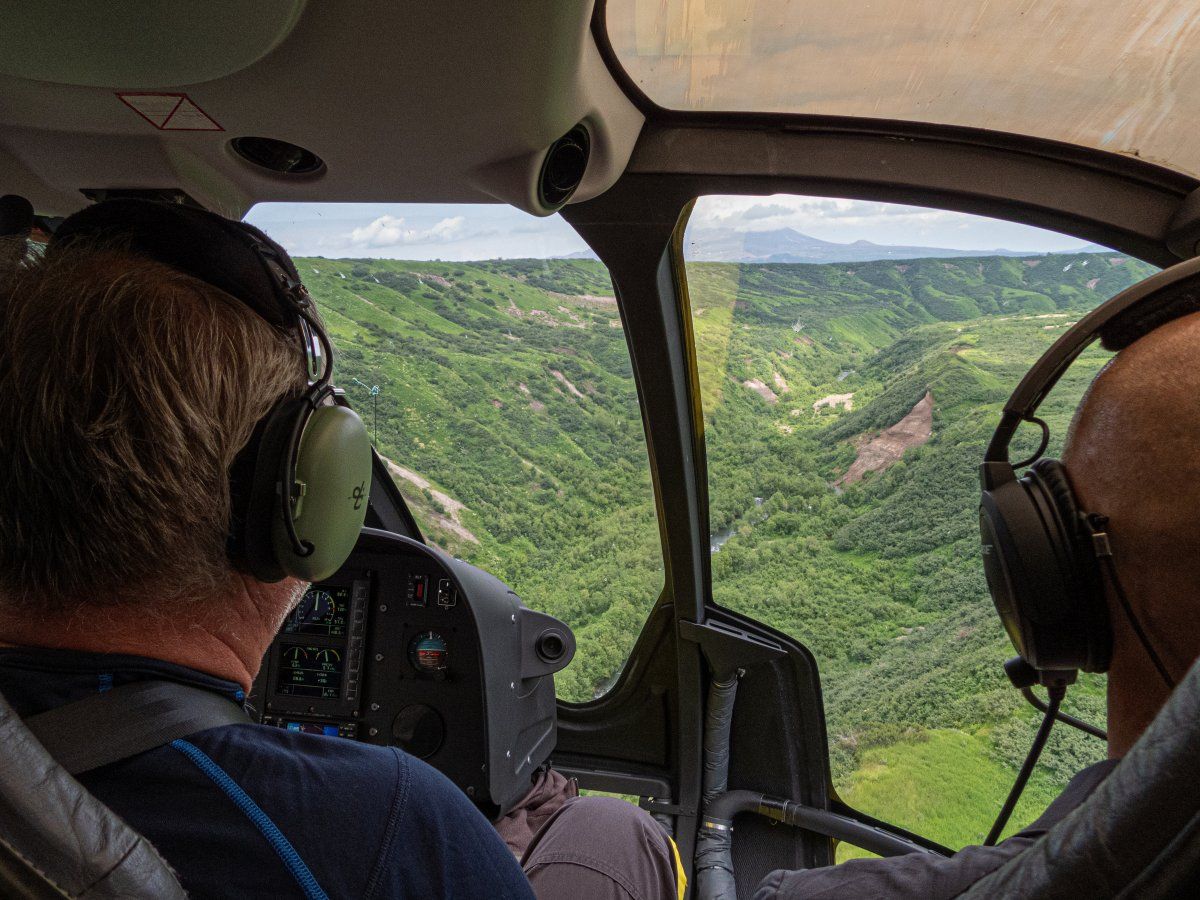
The river’s cut out a canyon and dozens of waterfalls; here are two of them:
And that’s all for today, folks. But I’ll be back soon with more tales from the Kamchatka-2024 side…
All the photos from our trip are here.
December 9, 2024
Route 264 and the Valley of Geysers and Uzon caldera – done.
Next up on our Kamchatka-2024 summer vacation – Maly (Little) Semyachik – one of the three Semyachik-family volcanoes (the other two being Bolshoi (Big) Semyachik and Tsentralny (Central) Semyachik. So – why Maly, if it’s the little one? Actually, little or no – Maly is still an oh-my-grandiose-and-gorgeous volcano. See for yourself! ->
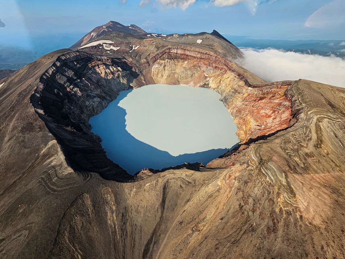
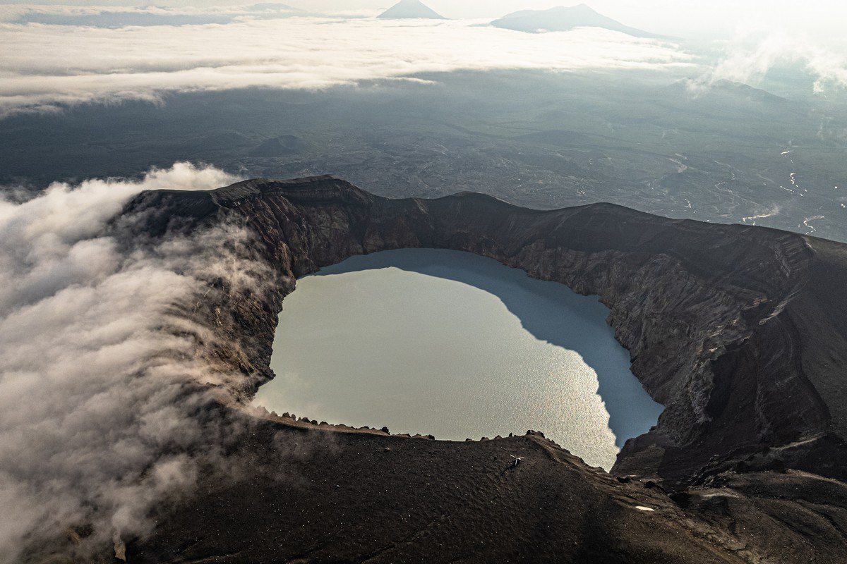
Inside its oval-shaped crater there sits that there beautiful lake, which measures around 800×1000 meters. I’d have described the lake just now as bright-turquoise colored – if it stayed bright turquoise all the time, but it doesn’t. Depending on (i) the particular acidity of its water fluid at a particular point in time, and (ii) how much light there is (in turn dependent on the time of day, the season of the year, and the weather) at that same particular point in time, it changes color: a chameleon lake! ->
December 5, 2024
You’ve had my report on our six-day Uzon trek, but I hardly told you anything about where we ended up on the last day of the trek – the Valley of Geysers. Now, with a bit more time on my hands, I can collect up my thoughts and impressions thereupon, and share them with you at a gentler, more meditative tempo…
First – a few photos. Bubbling, hissing, spurting, steaming, pouring – all present and correct, sir:
November 22, 2024
Onward – along Route 264. Ahead lie difficulties and hardships, raptures and amazements, volcanisms and bubbling-springisms. In short, what we were here for – what we love!…
And it all started here:
This is the estuary of the Semyachik river – a few kilometers from the tiny settlement of Zhupanovo (so tiny it’s not even on the Google map: somewhere here; oh – it is on Yandex Maps though) on the Pacific coast:
November 12, 2024
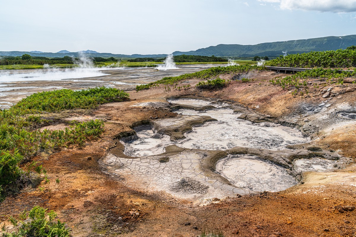
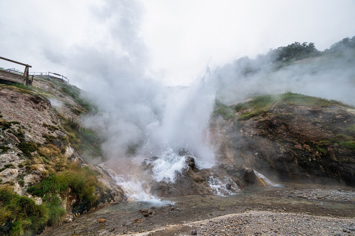
Forty kilometers to the south of Kronotsky there are two “cult” Kamchatkan volcanisms: (i) the Uzon volcanic caldera… ->
…and the famous Valley of Geysers ->
This year, instead of choppering in, looking about for a bit, then choppering off again, we decided to do a multi-day trek along the old Soviet Route No. 264…
November 11, 2024
November 6, 2024
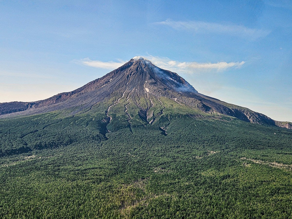
It was farewell to what is possibly the world’s remotest hotel complex, and off we choppered south to our next Kamchatkan volcanic wonder – Kizimen (pronounced KizEEmen). And here she is – the view from the south:
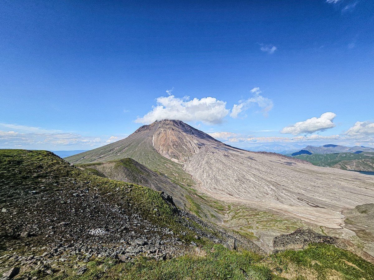
And from the north ->
What differentiates this particular volcano of Kamchatka from others are the two lakes at its foot set among wonderfully “designer” landscapes. There’s also the amazing view of nearby Kronotsky volcano – here on the horizon to the right, upon which you can meditate for an eternity.