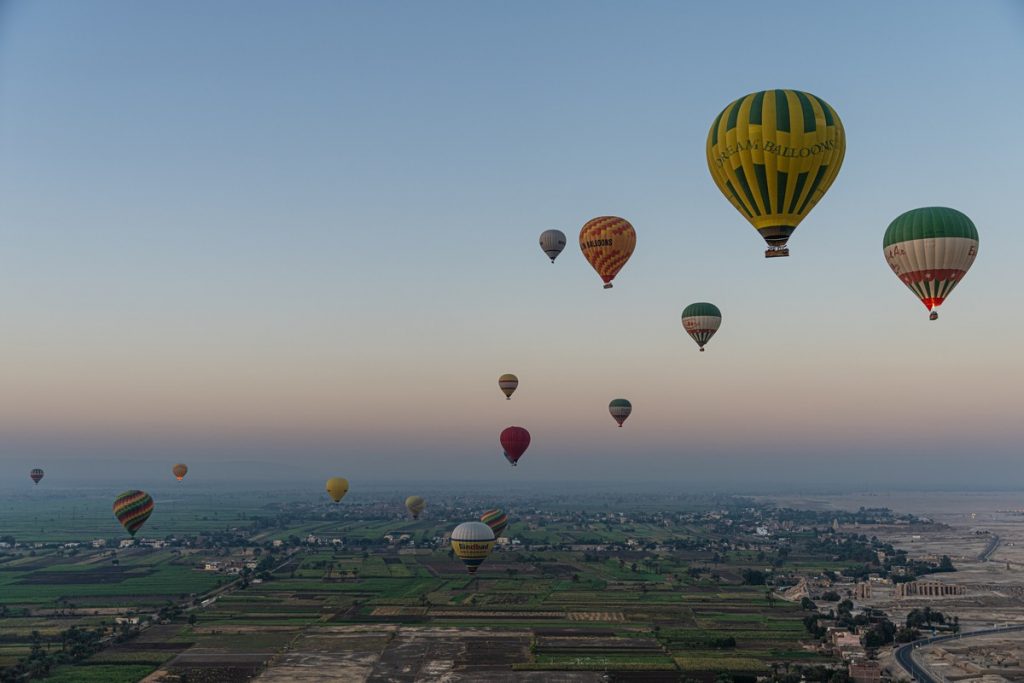
Lake Baikal: halfway to Moscow from Magadan.

Onward we drove. And drove, and drove… on our Magadan–Moscow road trip. Today’s stretch – further along the Baikal Highway, heading for Irkutsk (not Yakutsk, though I’m sure they get mixed up a lot:).

The road is smooth and mostly straight (like most highways in this part of the world), the views all around – outstanding, and the drifting snow on the road – spookily stunning:

Read on…

The other side of Mosfilm.

Brief intermission in among the Tales from the Permafrost Side!…

Moscow for the tourist: there’s plenty to do and see. But after several days filled with Red Square, St. Basil’s, the Kremlin, the Arbat, Tverskaya, the Park of Victory, the Tretyakov Gallery and the Pushkin Museum… what else is there? Well here’s one worthy suggestion, which I can now share with you after visiting the place myself for the first time the other day – the Mosfilm studio! ->

This legendary film studio complex was founded in 1923 – so in two years’ time it’ll be its 100th jubilee!

Mosfilm today is also a museum dedicated to itself and the movies made there. In we popped…

Read on…

700km Chita to Ulan-Ude on the Baikal Highway.

After yesterday’s 900km to Chita, we were up early for another 700 to Ulan Ude, with a brief stop at Ivolginsky Datsan along the Baikal Highway:

But before setting off we needed to make a few changes: First – to the cars we were driving. As per the plan, we said goodbye to the hardy Renaults from Avtorazum, and hello to some Mercedes. Second – our group of road-trippers were joined by some extra K-folks from our HQ, since from here on in the road trip became somewhat more businessy, for we’d be dropping in on some of our cherished clients and partners.

Read on…

Enter your email address to subscribe to this blog
(Required)

BAM – been there, touched it, need the t-shirt.

Next up for us in our car trip across Russia – the Amur Oblast town of Tynda, informally referred to as the ‘Capital of BAM’, BAM being the Baikal-Amur Mainline – a second pan-Russia railroad in addition to the famed Trans-Siberian Railway (running parallel to it, approximately 700km north of it).

A mere -31˚C. Soon we’ll be in shorts and t-shirts ).

Tynda may not be well-known outside Russia, but inside – especially for my generation, who grew up in the 1970s – it sure is. I was too young to join up for service with a Komsomol Student Construction Brigade in building it, but that didn’t stop me hearing about the impressive engineering feats – Brezhnev called it the ‘construction project of the century’ – involved in its construction for years on the radio and TV. And I must say, I never thought I’d ever visit the place. But here I was! ->

Read on…

Back on our way – along the most impressive Lena Highway. 

Having driven the full length of the Kolyma Highway from Magadan to Yakutsk (via the Pole of Cold / Oymyakon), and walked around Yakutsk for a day, it was time to moving along – further on our pan-Russia road trip…

Ahead of us lay 1200 kilometers of the Lena Highway heading south, until it meets the Amur Highway (which skirts southern Russia near the border with China and Mongolia), passing through the towns of Neryungri and Tynda on our way.

Read on…

You know how to dress to survive, but how do you drive and survive?!

Yesterday I told you how, since returning from our Magadan–Moscow road trip, I’ve been asked quite a few times how we dressed before venturing out into -50°C on the first leg of the trip – along the Kolyma Highway. Today, I’ll be telling you about something else I’ve been asked a lot about: how we managed driving in -50°C. Thus, let me tell you about the cars we drove in…

The cars we drove along the Kolyma Highway – from Magadan to Yakutsk (and also then on to Chita) – were Renaults: two Arkanas, two Capturs, and one Duster. And they were completely standard production models (slightly adapted, see below) and had all come off a Russian assembly line – in Moscow:

So, why Renaults?

Read on…

How to survive the cruel cold of Yakutia.

I like adventures – even when the comfort level thereon sometimes plummets further south than the mercury does in Yakutia! But I also really appreciate downtime, and one such portion of downtime I had recently while sat at home on a warm sofa, sorting photos of – and already nostalgizing about – the ultra-awesome first leg of our Magadan–Moscow road trip on the Kolyma Highway. As I was doing the sorting, I was reminded of how I’ve been asked rather often about how we – mere Moscow ‘office plankton’ – managed to survive in such extraordinarily cold climatic conditions every day. We managed to survive by dressing properly – appropriately for the extreme cold. But what actually is ‘dressing properly’ for Yakutia’s -50˚C temperatures? It’s hardly going to be ‘make sure your coat’s a warm one and don’t forget your hat and gloves’, now is it? All-righty, then let me tell you – directly from the Yakutian horse’s mouth. But first – let me show you:

Read on…

A trip to the Lena Pillars; the cold – nearly killed us!

This continuing Yakutsk topic is all very well, but it’d never be complete without… the Lena Pillars! Unique – check. Grandiose – check. Must-see – check! A long (~250km!) line of huge stone ‘fingers’ (~200 meters in height) sticking up out of the ground along the eastern bank of the river Lena ->

The Lena Pillars have been a firm fixture on my Top-100 List of Most Beautiful Must-See Places on the Planet since its inception, it goes withoug saying.

Read on…

A 17km winter ‘road’ – over the frozen river Lena.

When in Yakutsk, besides the museums and institutes, you need to get to have a drive over the frozen river Lena. The ‘road’ over the river links the city up to the Lena Highway, which in turn winds southward 1100km until it meets the Amur Highway, just above the border with China.

Why it is that the main road is on one side of the river, while Yakutsk is on the other is a bit of a historical mystery curiosity. A quick scan of the internet tells me that the city was founded in 1632, and the Cossacks’ first ostrog was built on the ‘correct’ bank of the river Lena. Then, 10 years later, for some reason it was transferred to the other bank – where it still stands today. It seems likely that the reason was strategic-defensive: back then there were frequent skirmishes with natives, and there’s not much better protection for a settlement than a wide (2km+!) body of water (such as the river Lena). But that still doesn’t quite explain why 300 years later the road was built on the other side. But I digress. Anyway, still today there’s no bridge crosses the Lena at Yakutsk, but in winter there’s the ‘winter road’ you can take over the river. There have been plans for construction of a bridge, but in these conditions – what with the permafrost (and, thus, perma-unstable) ground, the extreme cold, and the significant girth of the Lena – they’ve kept being put off.

But it seems folks have gotten used to it; they’ve had to! There are ferries in summer, in the winter there’s driving over the frozen Lena as I’ve mentioned already (twice!), but around about every spring – when the ice starts breaking up (so no driving thereupon), and also every fall – when it starts to ice over but it’s still not strong enough to support vehicles but too icy for the ferries to cope with, that’s it: no crossings possible at all! Apart from in a helicopter. But that’s hardly an accessible mode of transportation now is it?

The ‘winter road’ over the frozen Lena is really something, especially because it doesn’t take the shortest route across; it lasts a full 17 kilometers (following the route the ferries take in the summer, I think, shown here), and there are two lanes going in each direction on it! Just like a real highway, but it’s on a frozen river! ->

Read on…