October 7, 2026
From Vientiane to Luang Prabang – in a helicopter, of course!
If you ever have the chance to choose exactly how to get, in daylight hours (ideally in the morning), from Vientiane, the capital of Laos, to Luang Prabang (which was the capital roughly half a millennium ago), then… well, first let me explain why I’ve started this post with that… incomplete conditional clause (oof)…
Now, Vientiane is home to the country’s main international airport (the one we flew into). But the really interesting tourist activities are in Luang Prabang, which is 200+km north of the capital. There are various ways of getting there: 1) taking the new Chinese railroad (two hours; lots of tunnels – 75, I just peeked – and you can’t see a thing in those); 2) bouncing along in a car for 300km, which takes some 10–12 hours (with stops); or 3) flying – merrily and with gusto – by helicopter, from airport to airport, in an hour-and-a-half (and in Luang Prabang the airport is within the city limits). So, back to my first rush-in sentence: if you ever do need to get from Vientiane to Luang Prabang – make sure you take the chopper option! Yes, it’s fastest, but also – the views along the way will simply knock your socks off!…
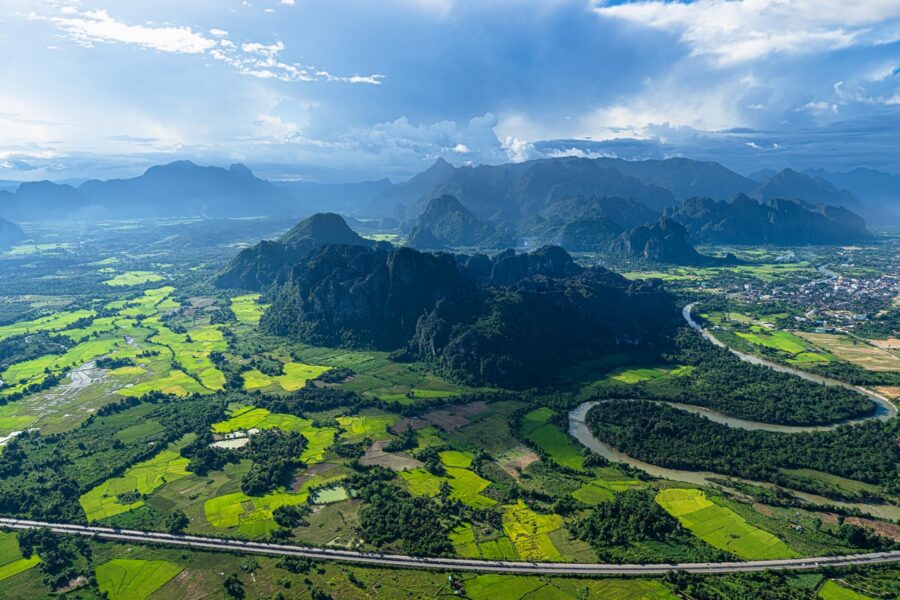
My dearly beloved wife was so thrilled that she even commented, “It’s like Kamchatka!” Well, that’s the highest possible accolade for the contemplativeness of the scenery around us )
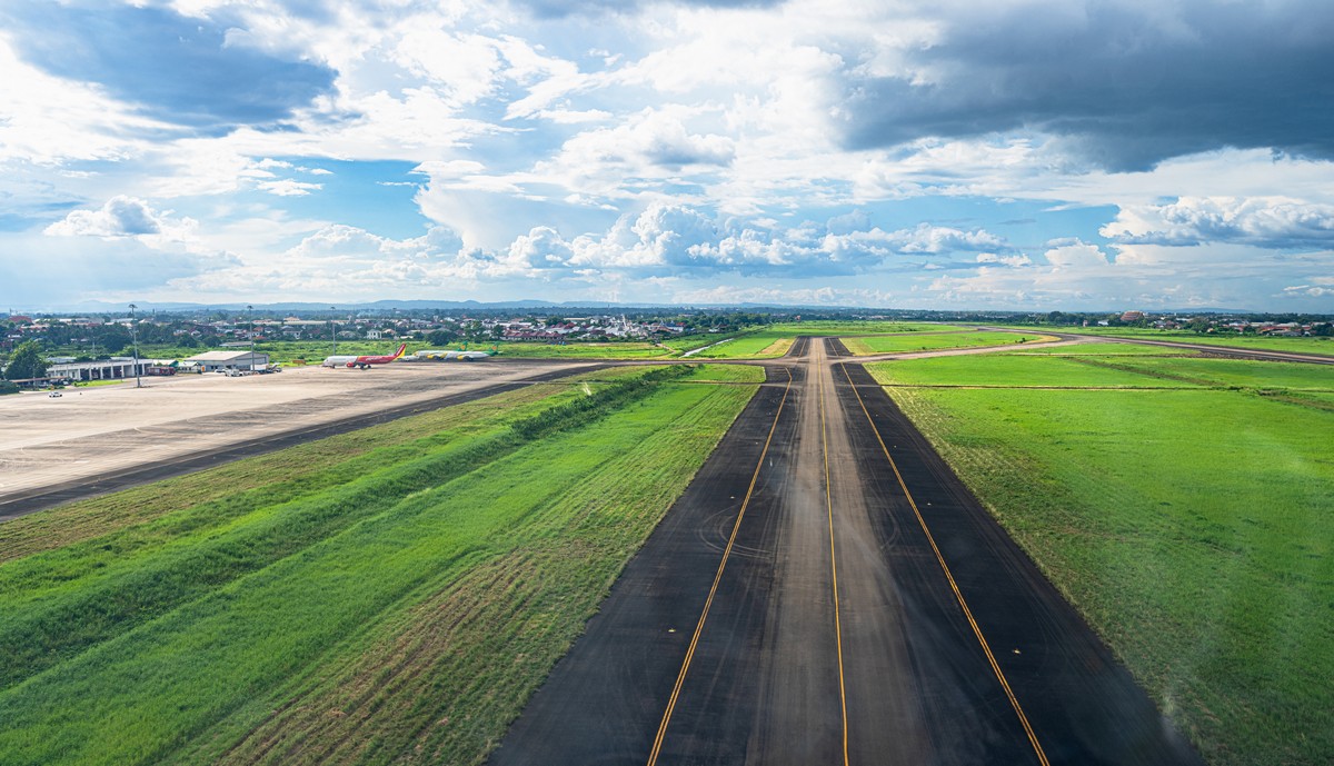
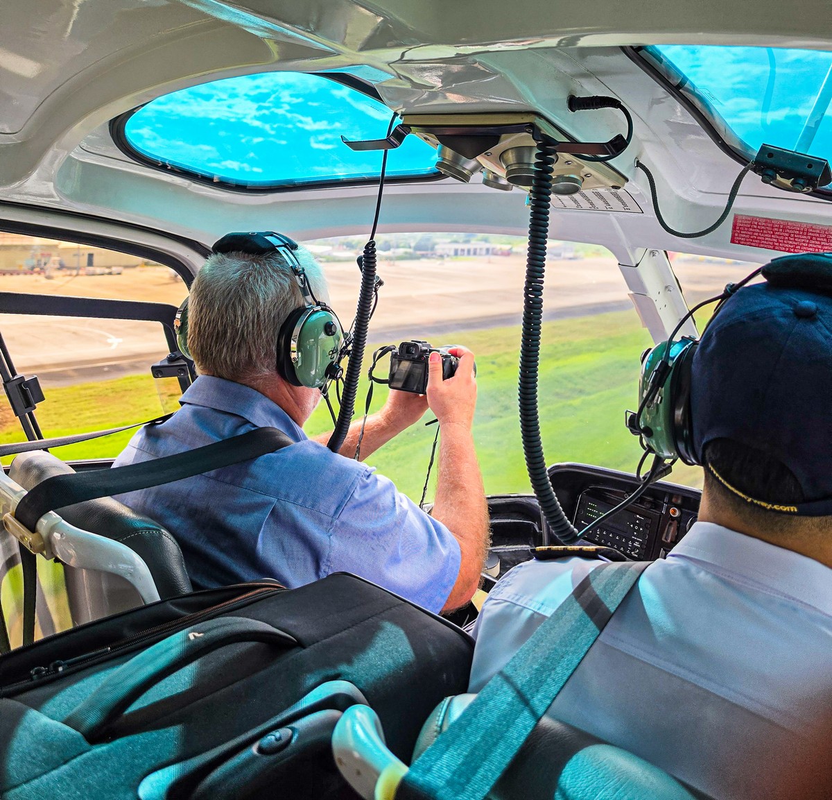
OK, off we choppered! For reasons of flight safety, at some airports helicopters have to follow the same takeoff and landing routes as airplanes – while at others they don’t have to. Why it’s like that in some places and different in others, I don’t know. Here, we took off along the airplane runway:
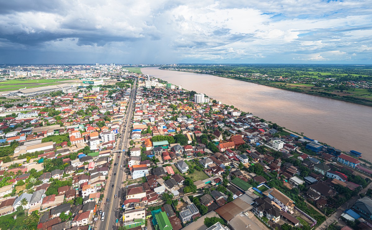
First up we flew along the route of the Mekong River. To the right of it – Thailand; to the left – Laos (Vientiane). You can see it’s not the wealthiest of places… And the internet’s collective wisdom confirms as much: the population here is seven+ million, a third of the economy is agriculture, and another third is logging and mining. In short, the picture’s clear. By GDP (PPP), it ranks 113th – somewhere between Latvia/Honduras and Armenia/Guinea. And per capita it’s sadder still: in 136th place, right between Uzbekistan/Morocco and Bangladesh/Venezuela/Angola (it’s just a little ahead of those three).
It’s all plain to see from the air too. Like I say, not so well-off – but they’re trying:
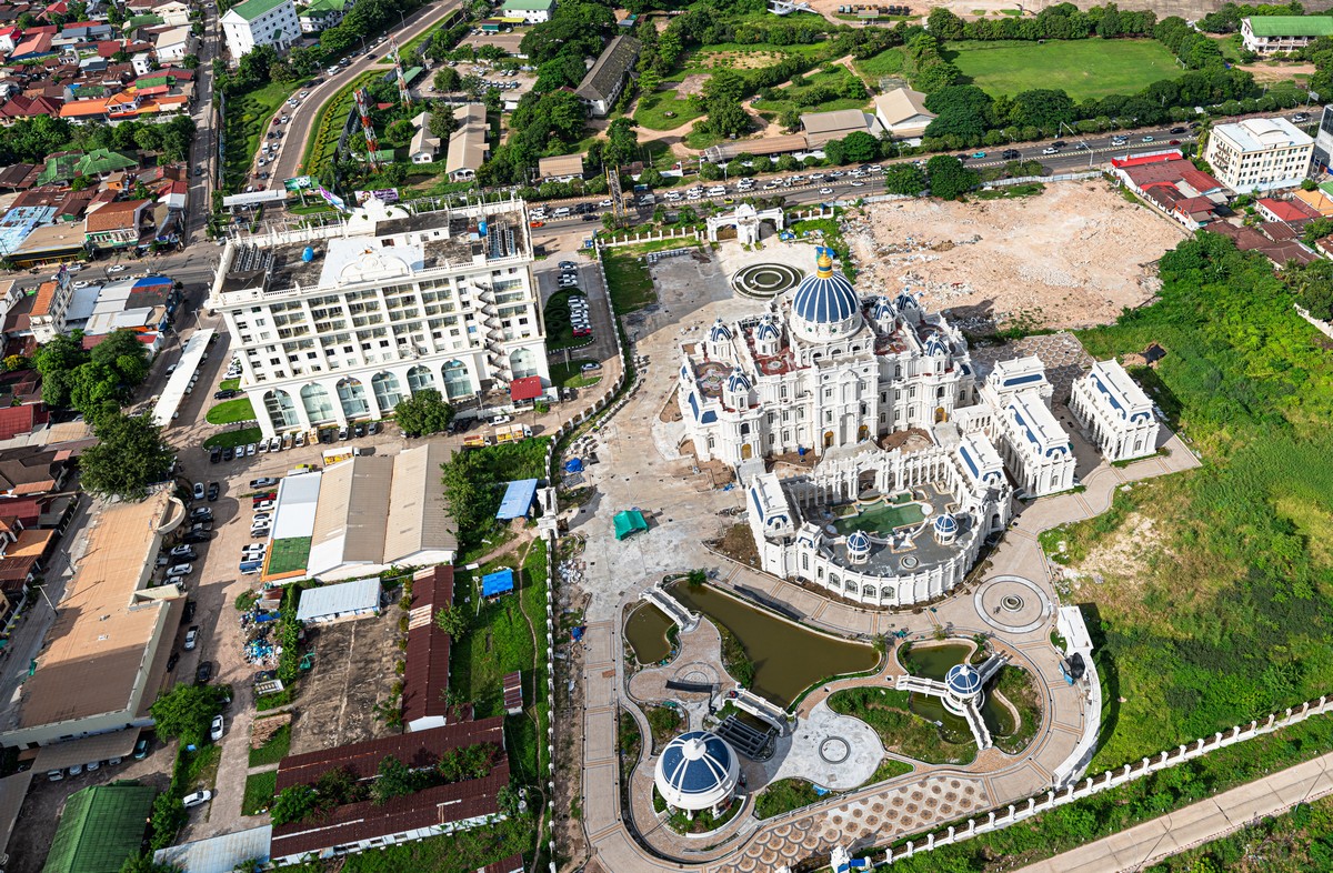
Ooh – but there are exceptions to the rule. Here’s some kind of palace or fancy hotel under construction:
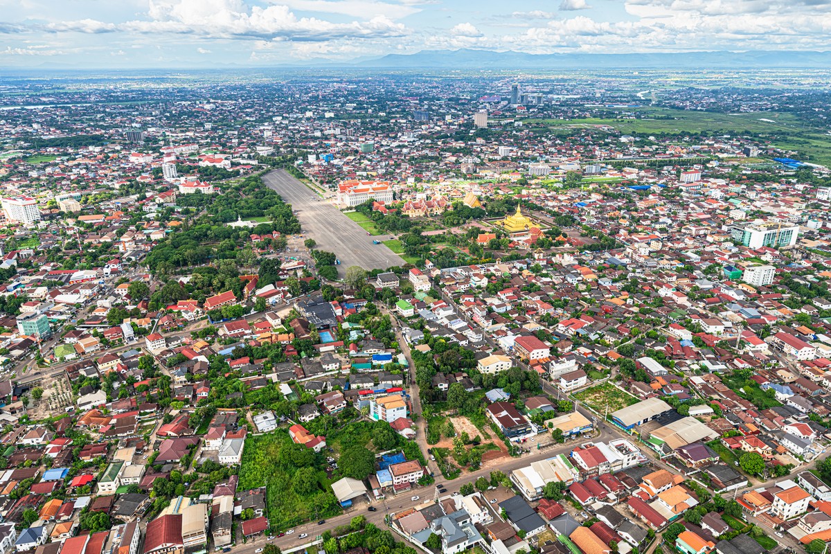
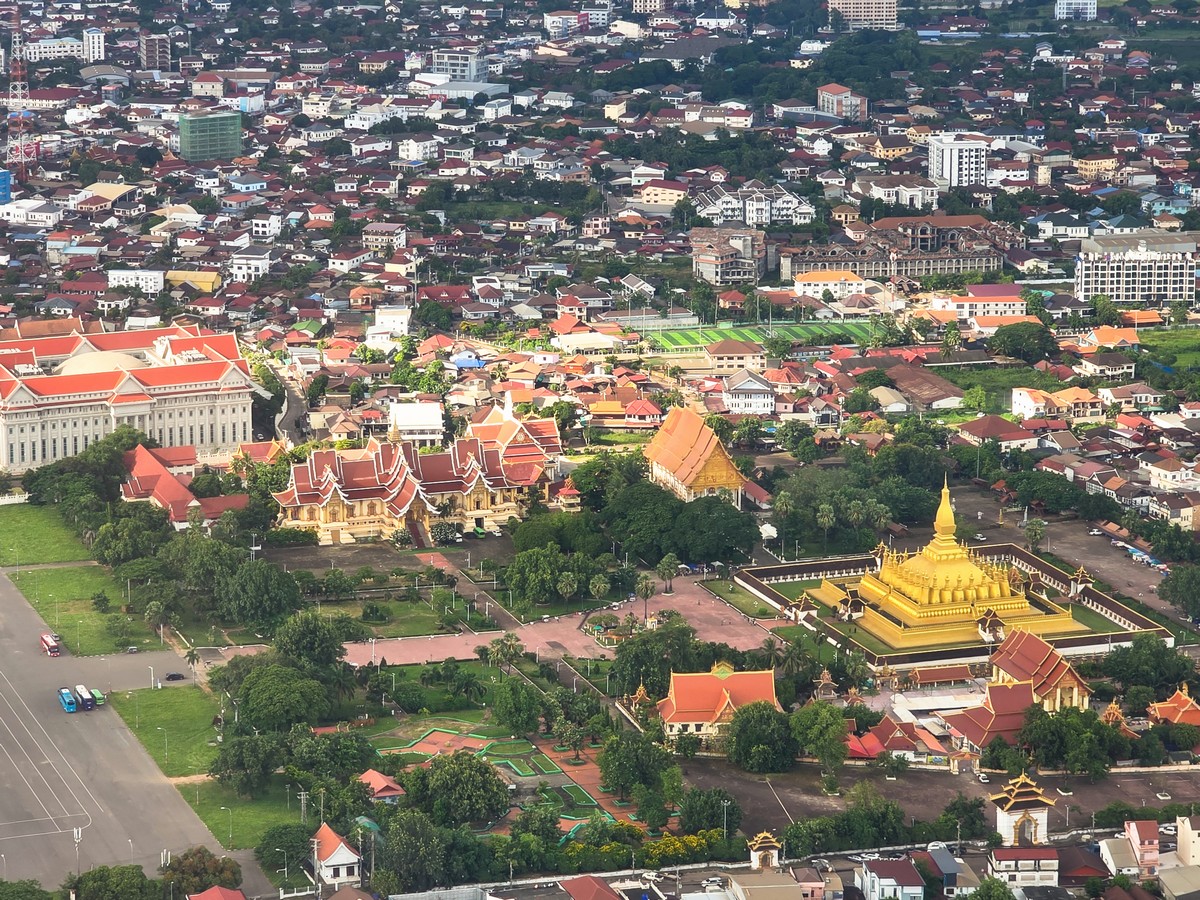
But this is what the center of the capital looks like from the air:
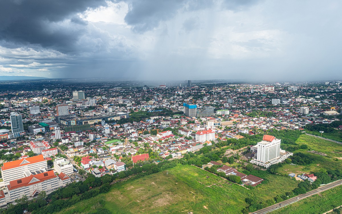
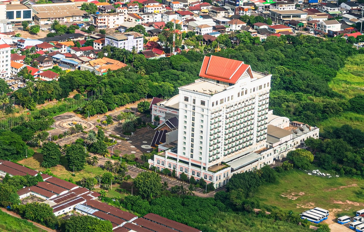
By the way, this looks like a hotel, but it seems to be abandoned. The parking lots are empty and somewhat overgrown with greenery, and trees have grown up right up against the windows. I wonder what it is?
On we flew, over and across the city!
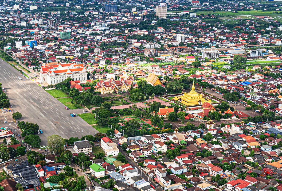
The golden stupa Pha That Luang is a must-see for tourists! And we’d be getting there too later on.
We flew out beyond the city limits and into rural landscapes. Somewhere down there they grow rice, sweet potatoes, pineapples, rambutans, and all the other durian-type stuff too:
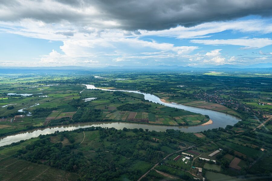
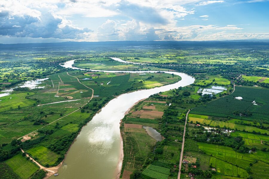
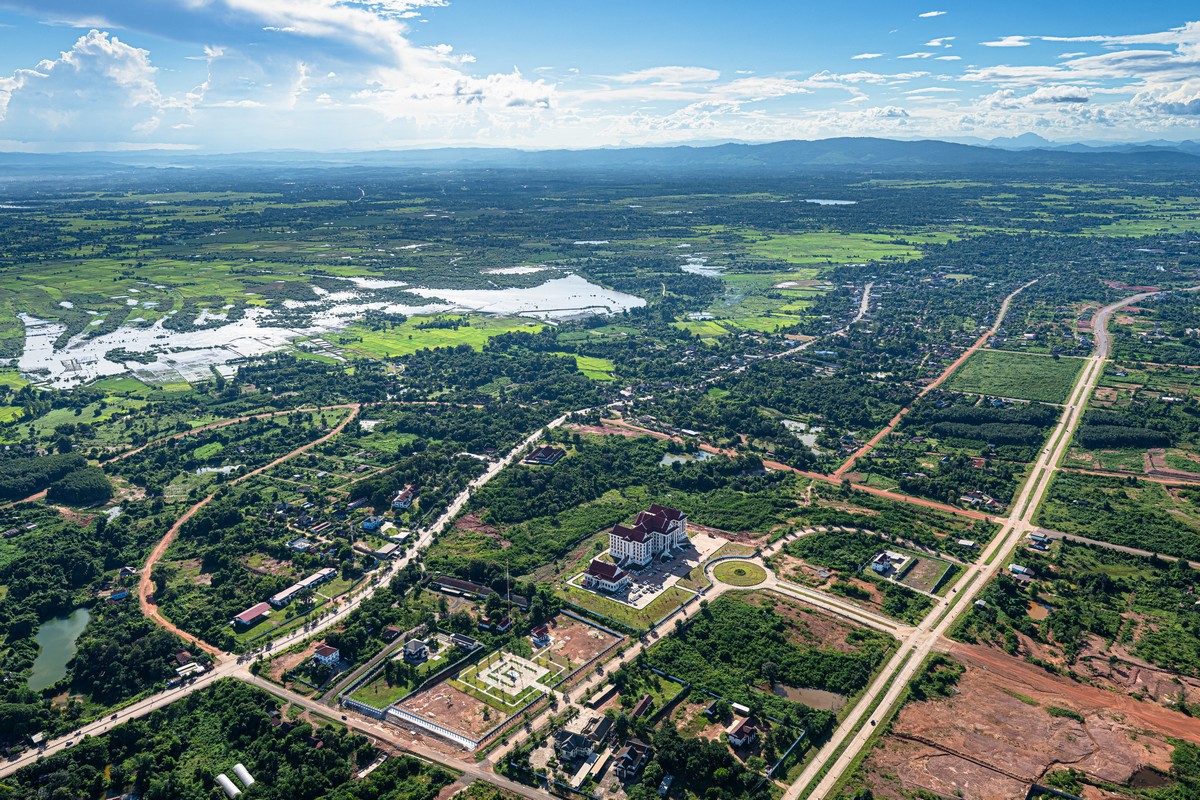
Whoa! Things are… non-homogenous out here too. Rural villages all around, and then suddenly a small modern complex incongruously in among them. That hints at further development of the surrounding infrastructure. But apparently all projects like this are built with investment from neighboring China, Vietnam, and Thailand, as well as Japan and various other countries.
The scenery gradually changes:
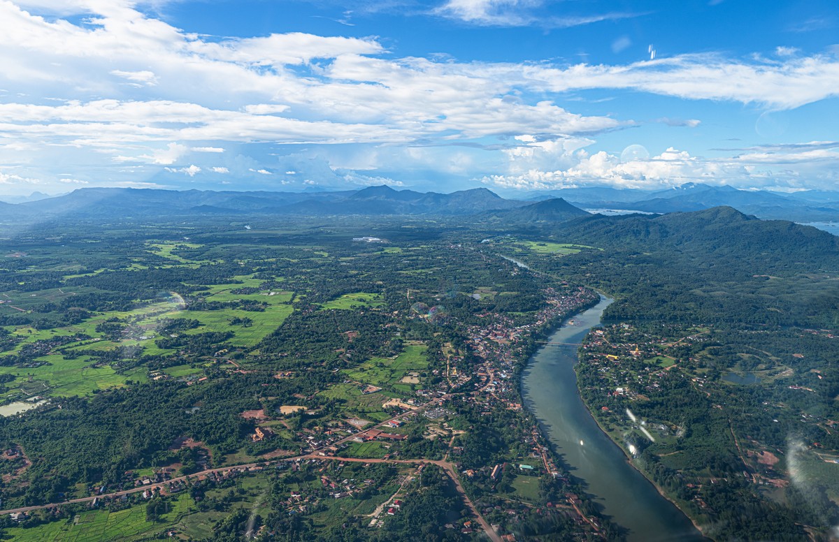
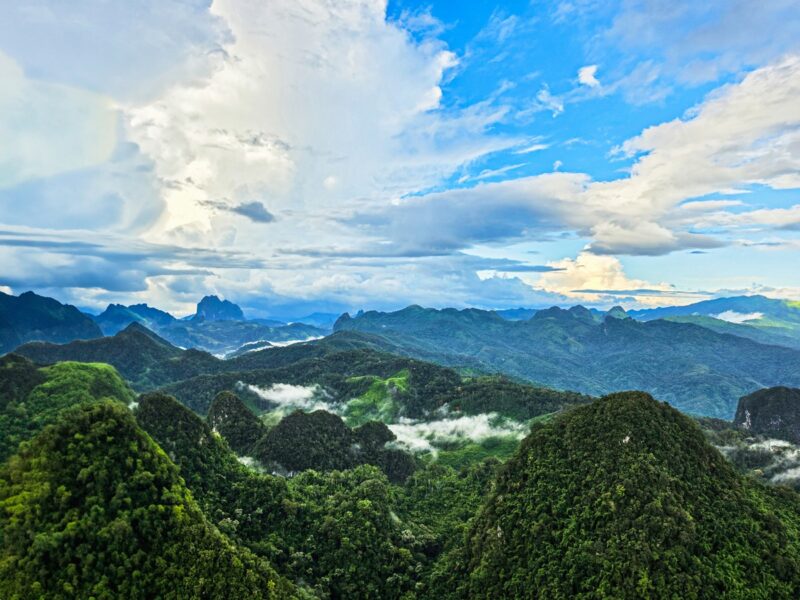
We cross the first chain of mountains – and oh, how interesting it gets!
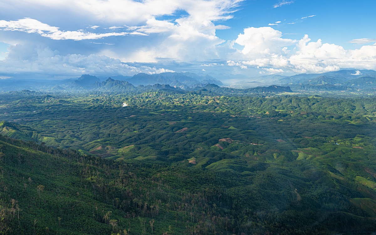
The scenery changes radically and categorically!
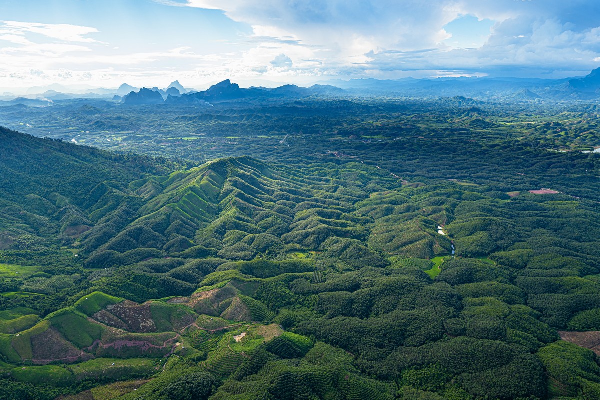
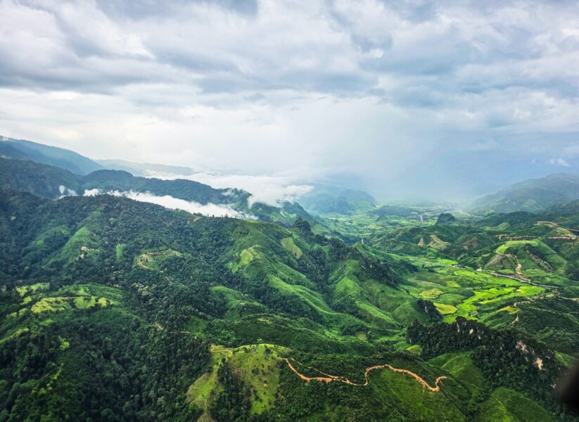
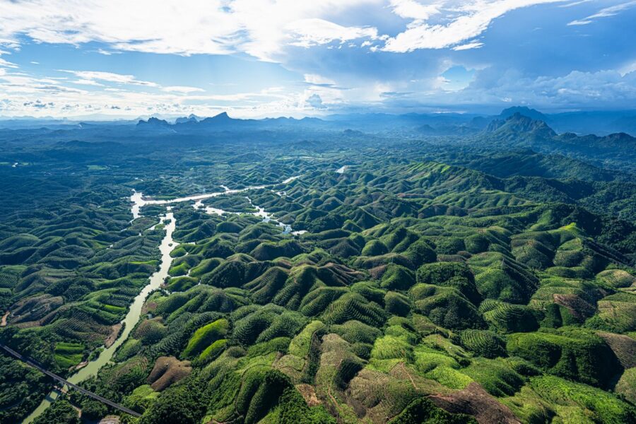
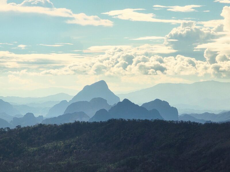
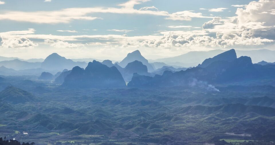
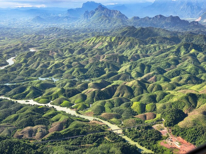
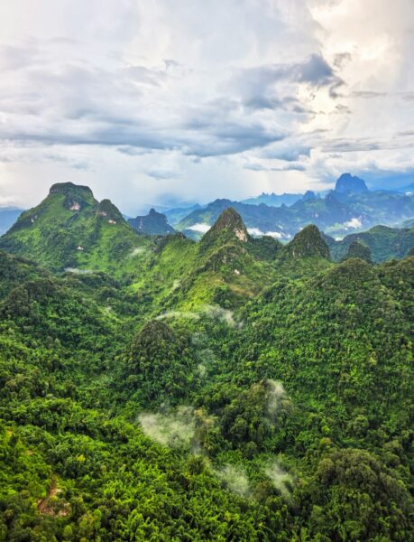
These views are absolute masterpieces! How on earth did Mother Nature pull this off? And on top of that, hardworking humans have tidied up, trimmed, and manicured all these little bumps into neat rows of logging glades…
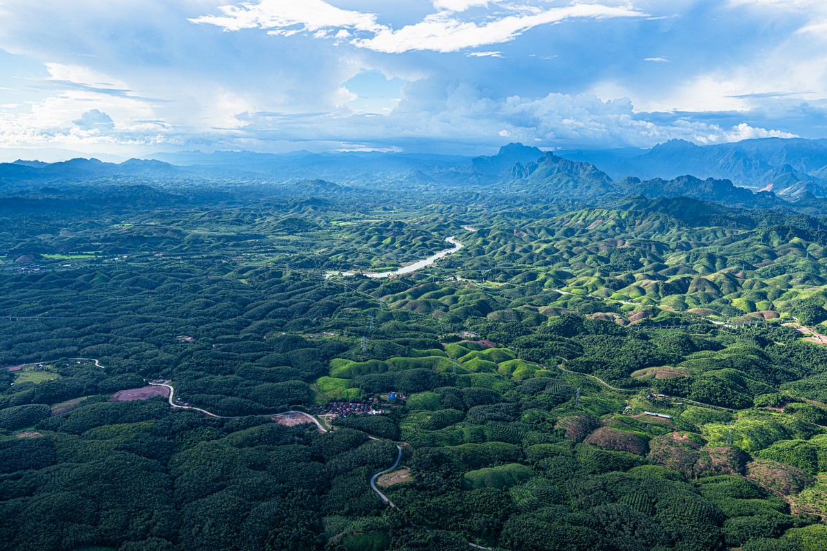
Oh, how splendid they look!
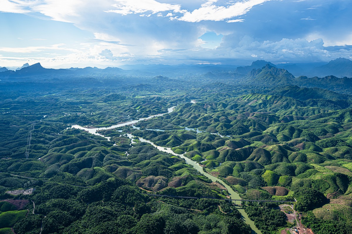
Sheer beauty!
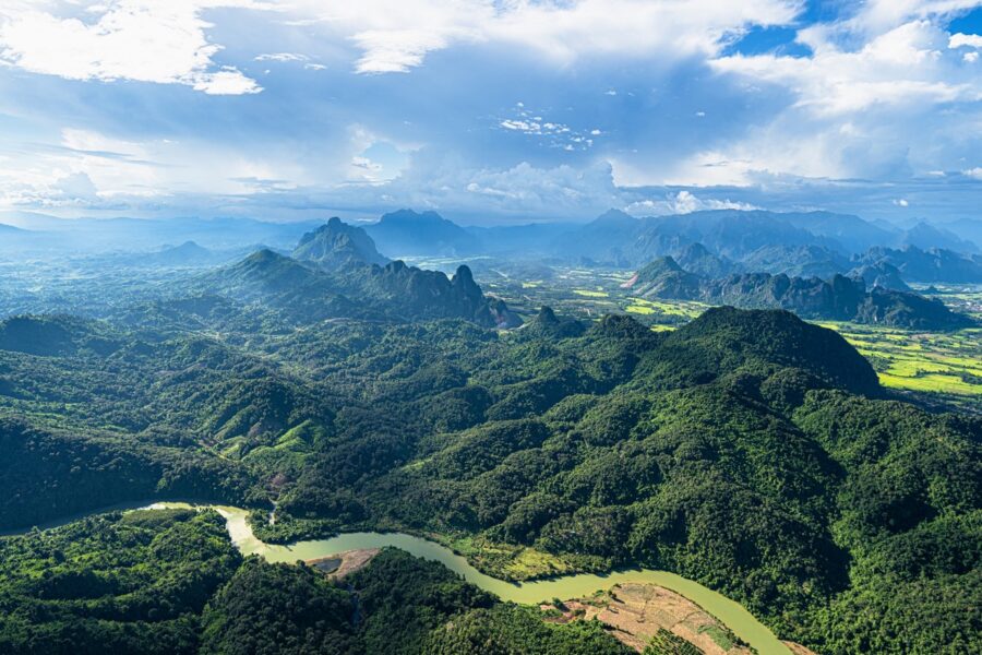
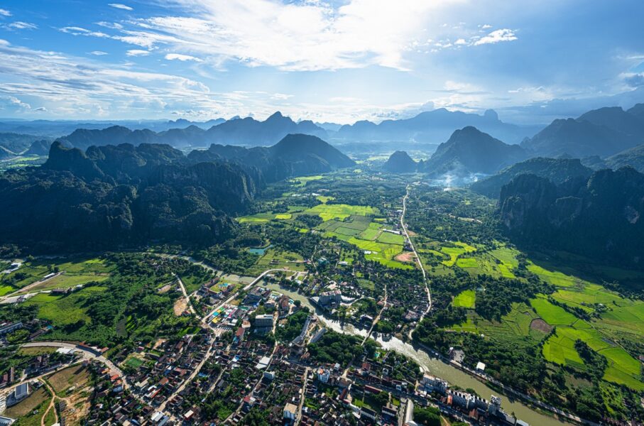
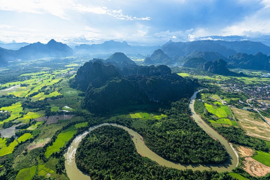
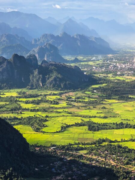
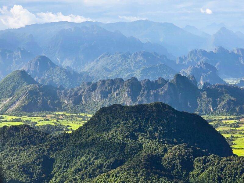
Further on, the views they showed us were nothing but delightful – but, alas, by then we were flying late in the day, when the setting sun was shining from the wrong side. So you should only fly here in the morning, and take seats on the shady side of the helicopter.
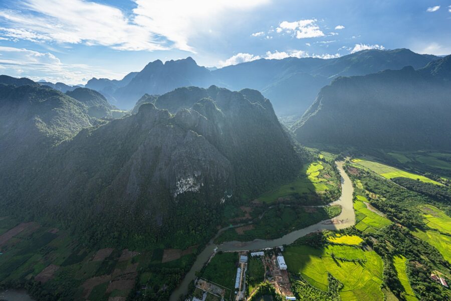
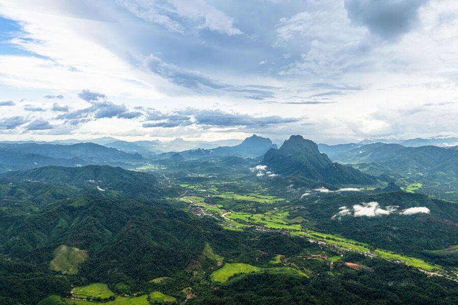
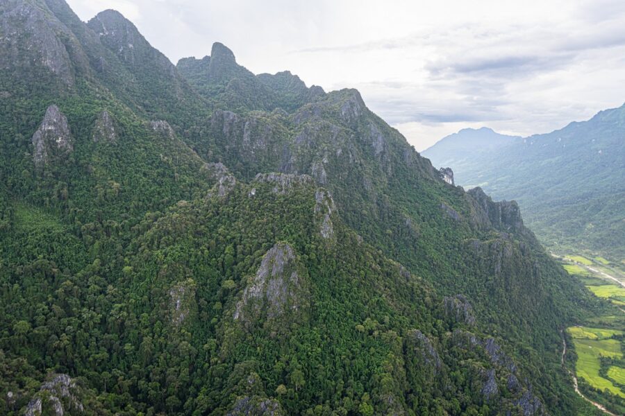
And then, on top of that, they went and switched on a thunderstorm, with rain and lightning. So we flew around it.
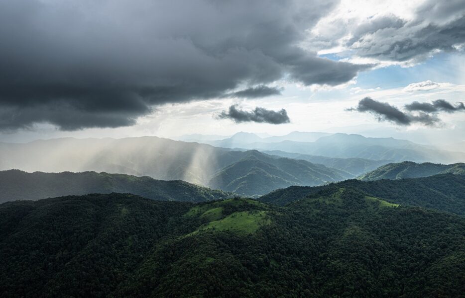
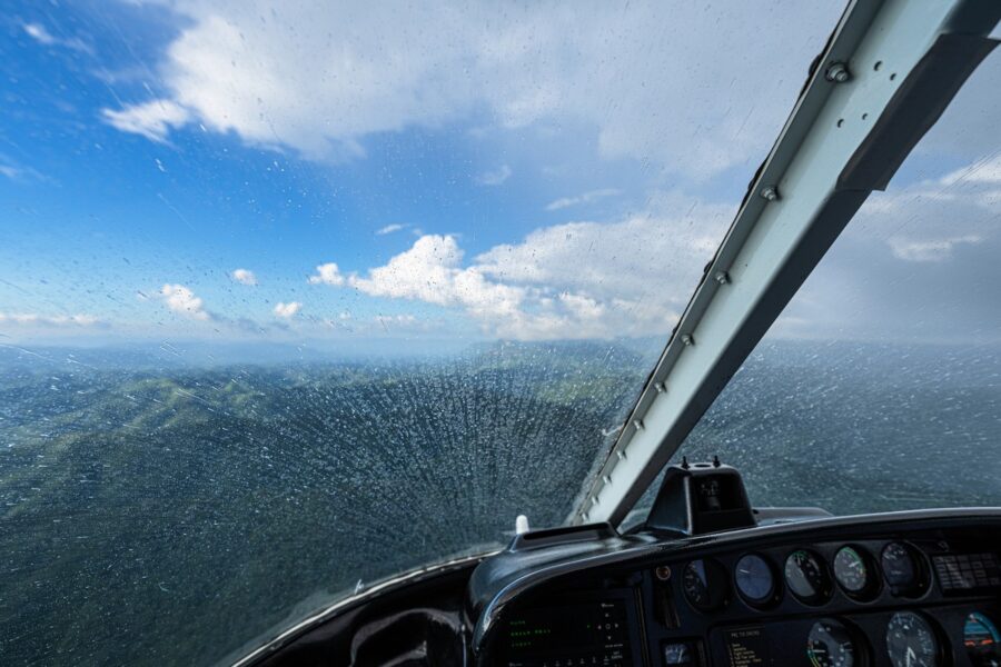
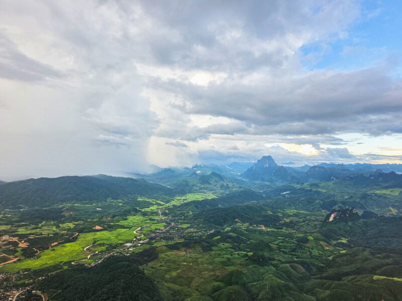
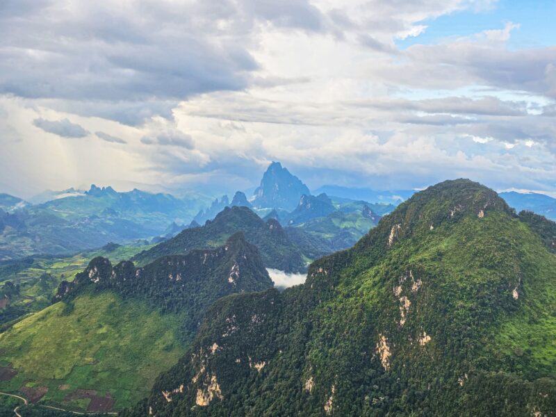
But these troubles were only temporary. Then it was back to sunshine and magical views once again!
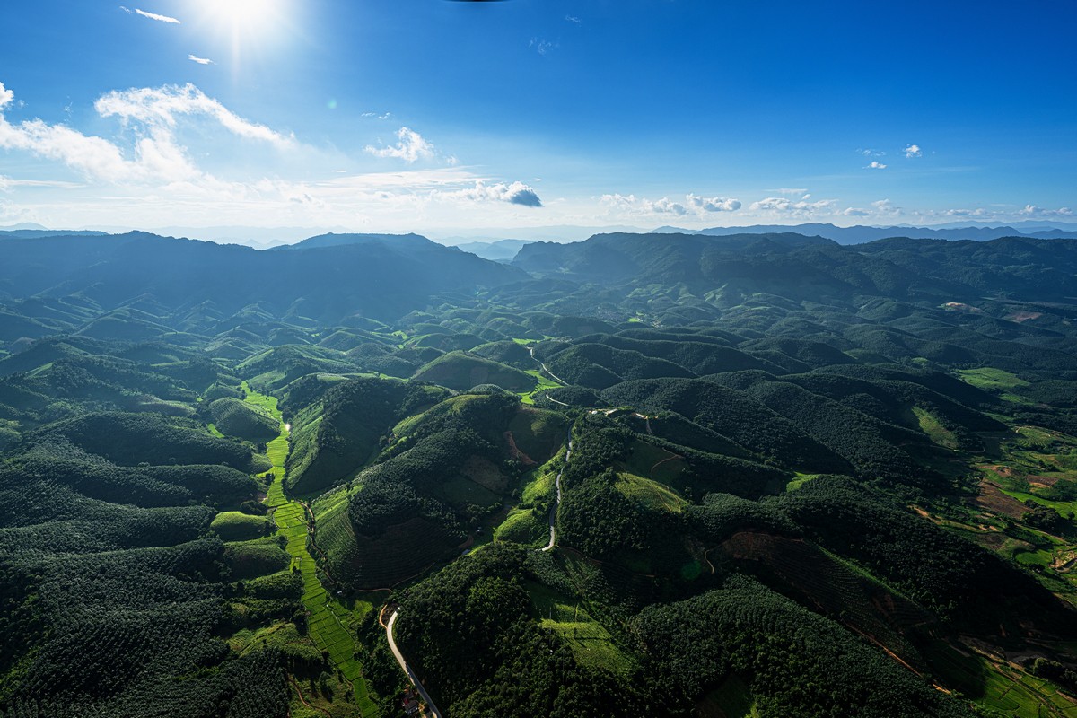
Kuang Si Falls is a most worthy spot (details to follow later). Here are the views from the helicopter:
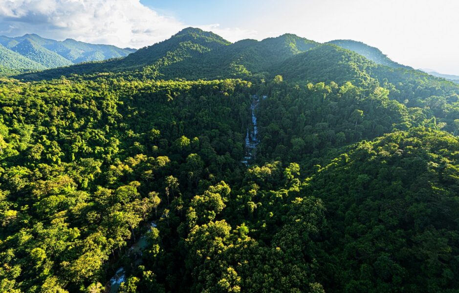
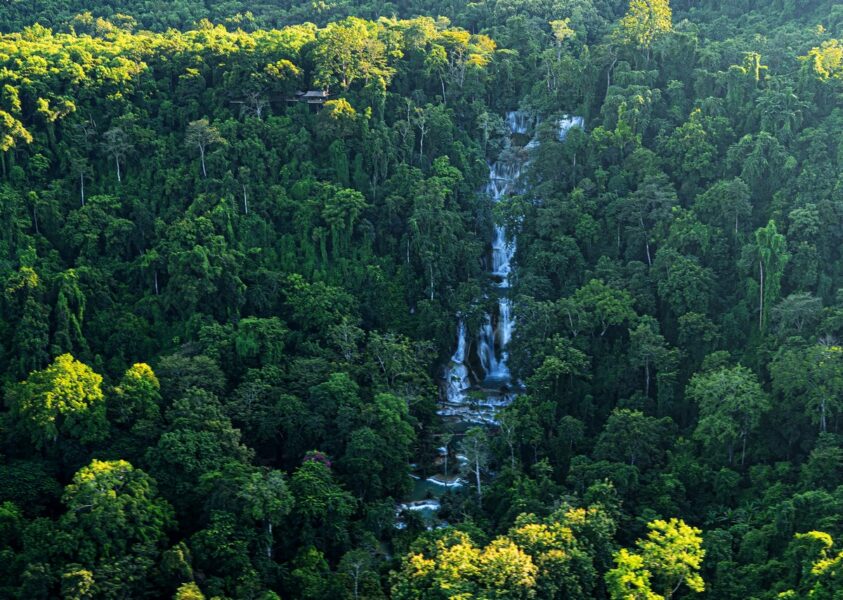
And that was that; minutes later we were landing in Luang Prabang.
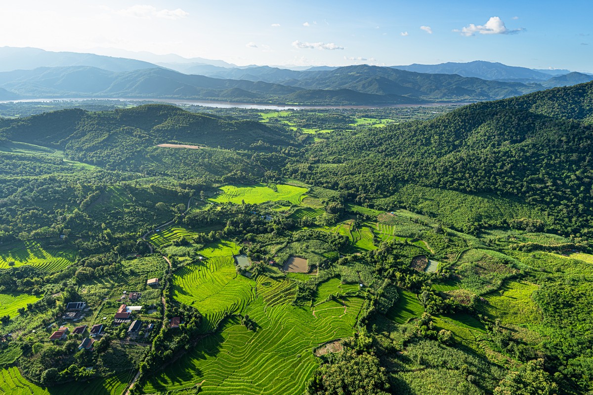
We had very active weekend ahead of us here – in our customary and favorite “tourism till you drop” mode :)…
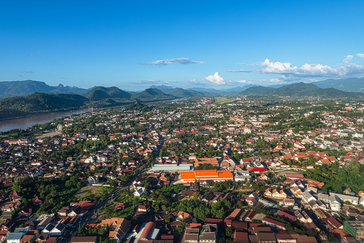
By the way, this provincial center looks wealthier and better kept than the nation’s capital.
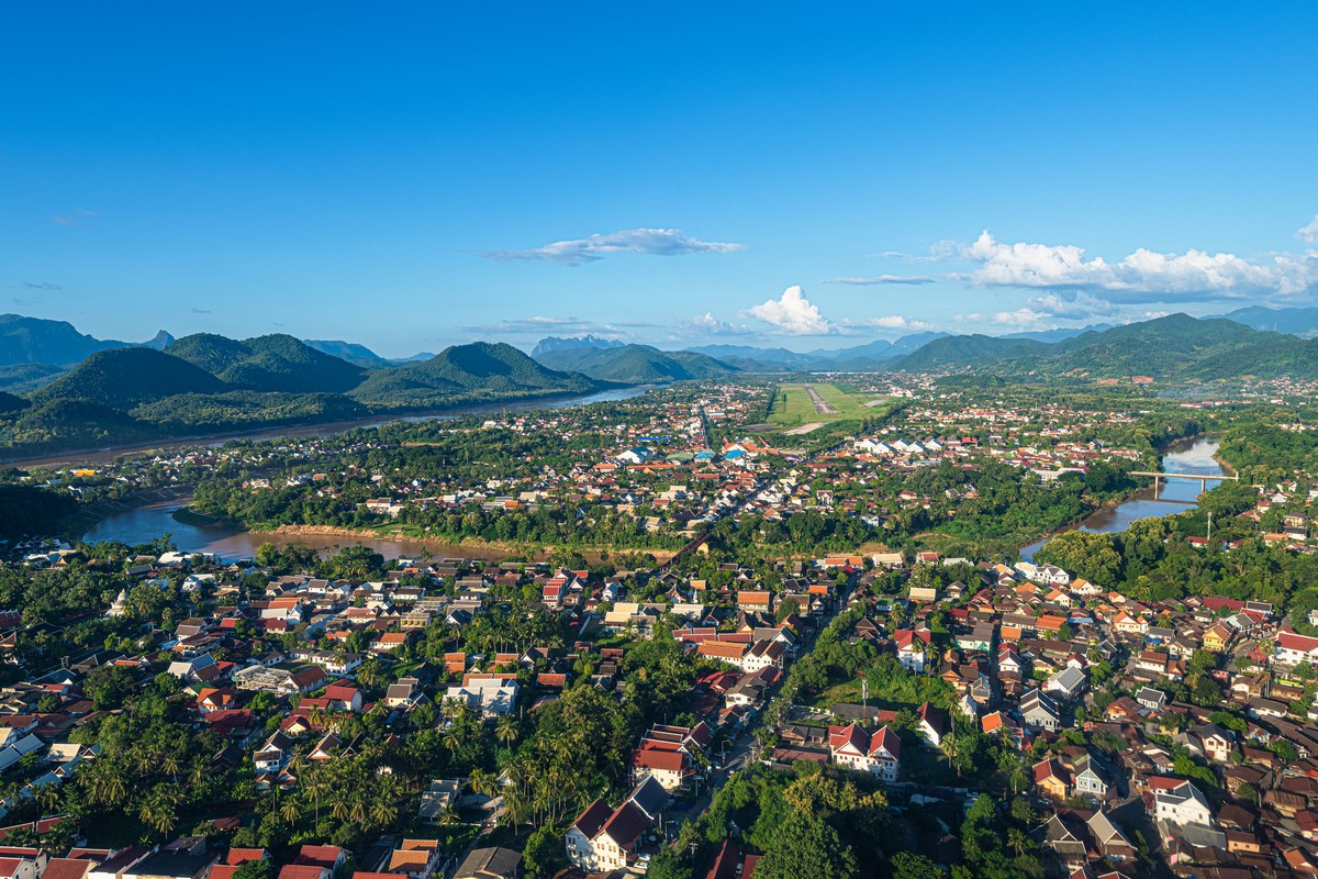
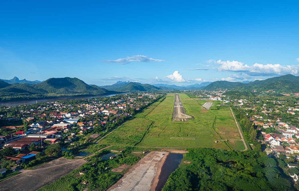
The landing was just like take-off: along the glide path:
That’s all for now! Until the next report!…
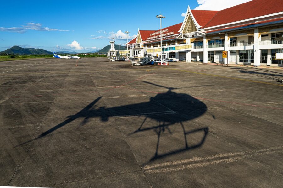
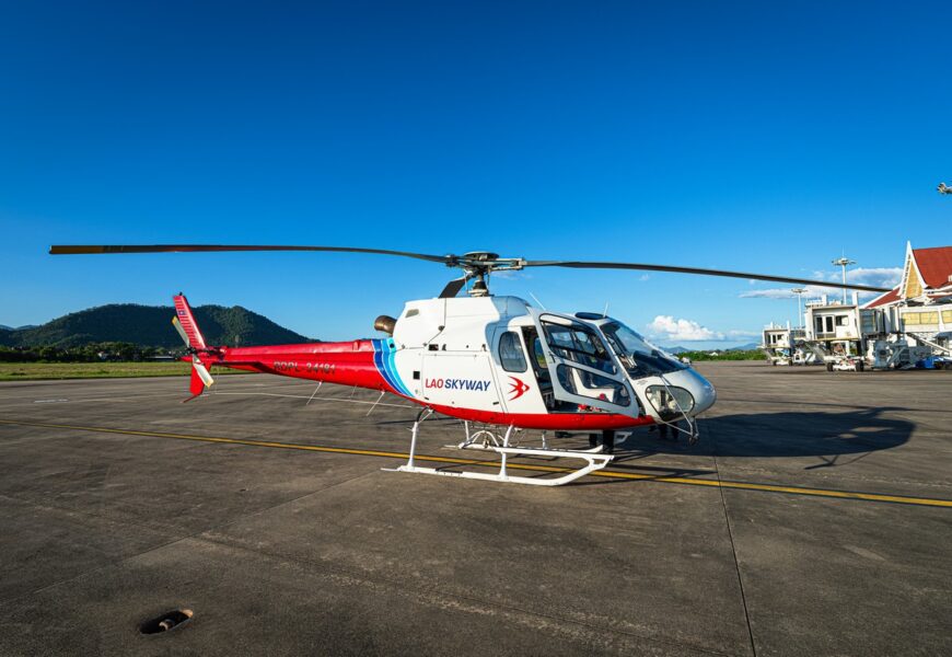
PS: here’s some photo material from the helicopter trip, courtesy of my regular travel companions.
The Golden Stupa, Pha That Luang:
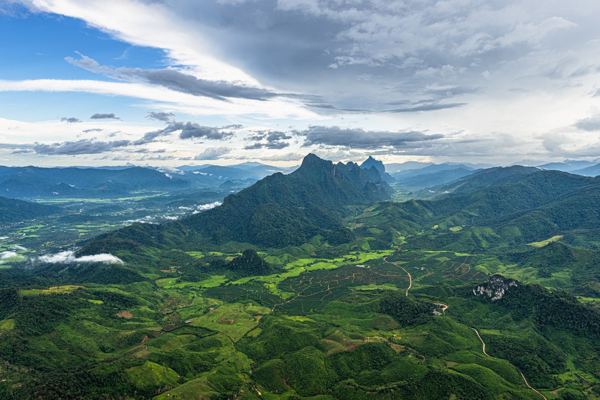
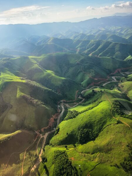
Splendid mountain landscapes:
The hills aren’t striped for no reason – those are logging cuts. Timber is one of the mainstays of Laos’s foreign trade, which is why everything’s been “combed” like this:
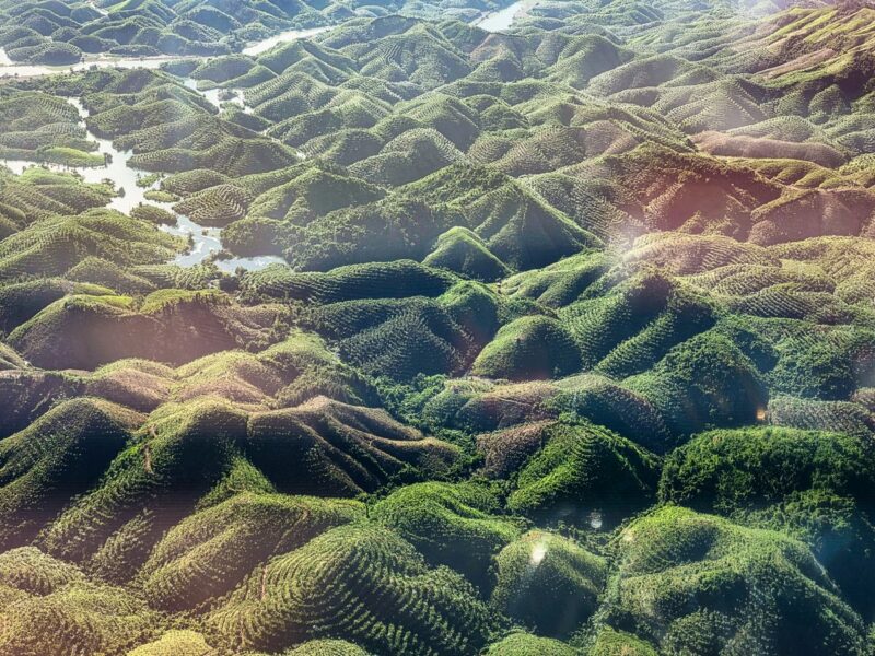
From the other side of the helicopter:
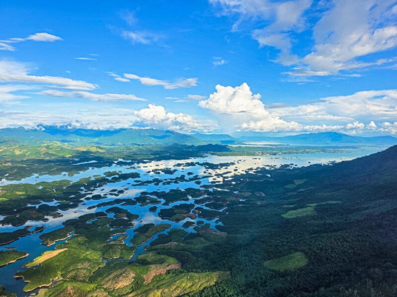
This is Laos’s first hydroelectric power plant, Nam Ngum Dam ->
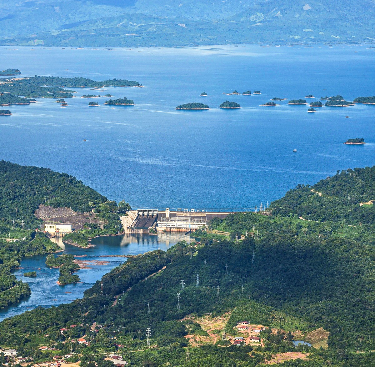
The expanses flooded by the reservoir look surreal: