January 30, 2026
Kamchatka finale volcano reviews: choppering back south (oh, the views!).
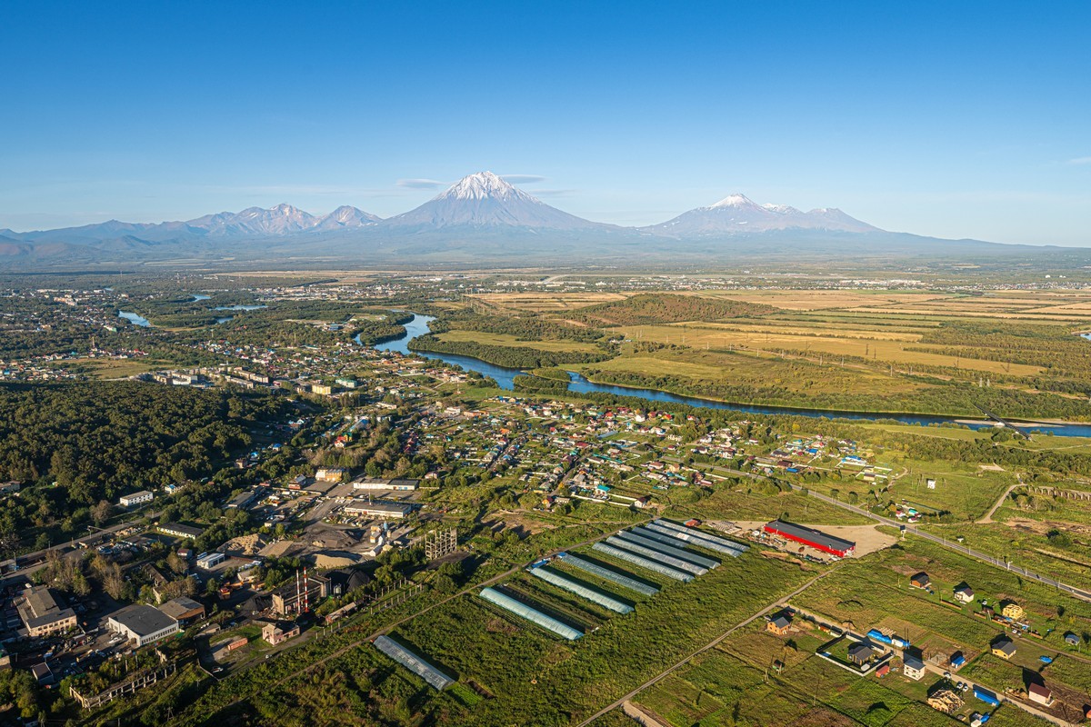
Back in Kamchatka, and it was time for my favorite installment of any trip there (and there’ve been several, if not a dozen or so): when we head back toward the south of the peninsula…
I was especially thrilled to be heading south this time since, unfortunately, during our northern escapades, the weather was most unfriendly – with none of the sunshine needed to let us enjoy the surrounding sights to the full. But still, we did more or less manage to see the Klyuchevskaya group of volcanoes, visit Uzon and the Valley of Geysers (with a hike to the nearby Valley of Death), trek the rim of the caldera of Maly Semyachik, and even reach all the way to the mightiest northern volcano – Shiveluch.
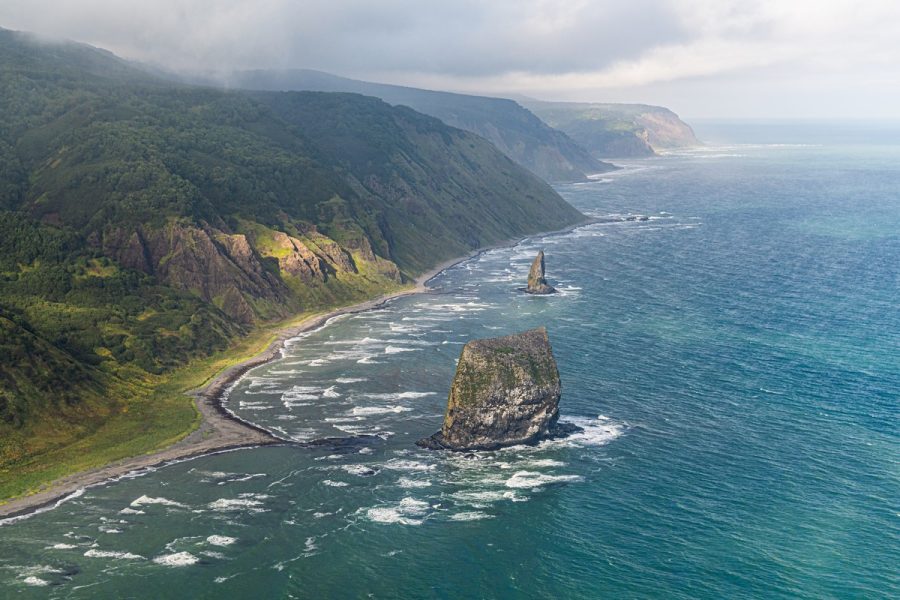
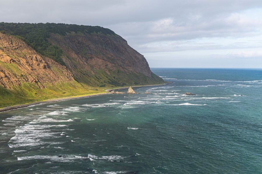
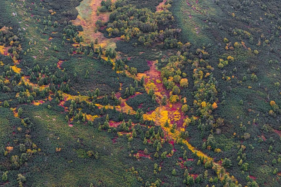
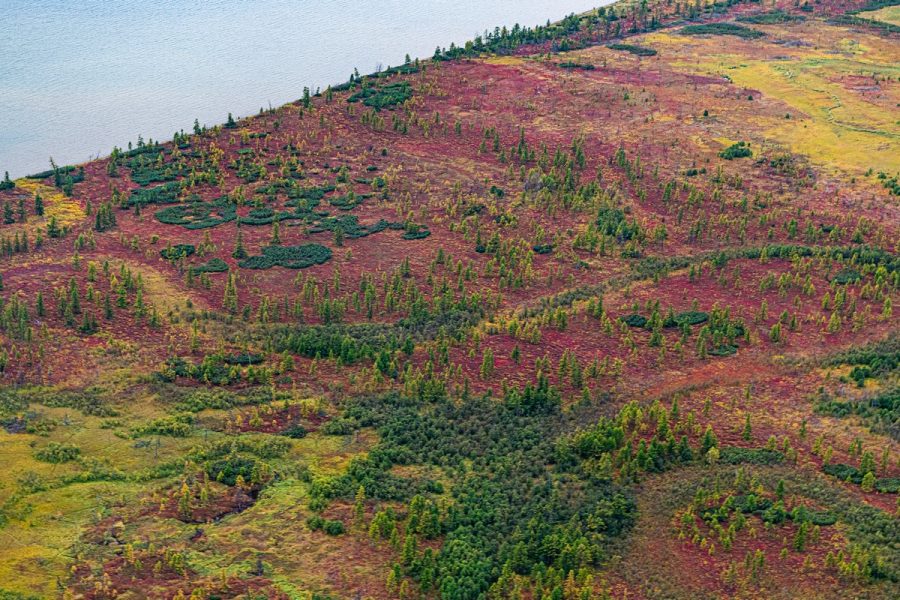
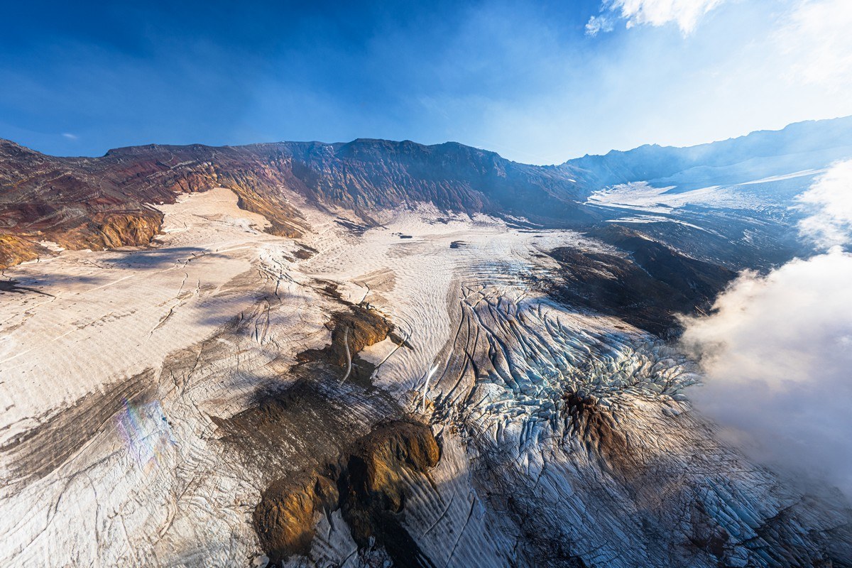
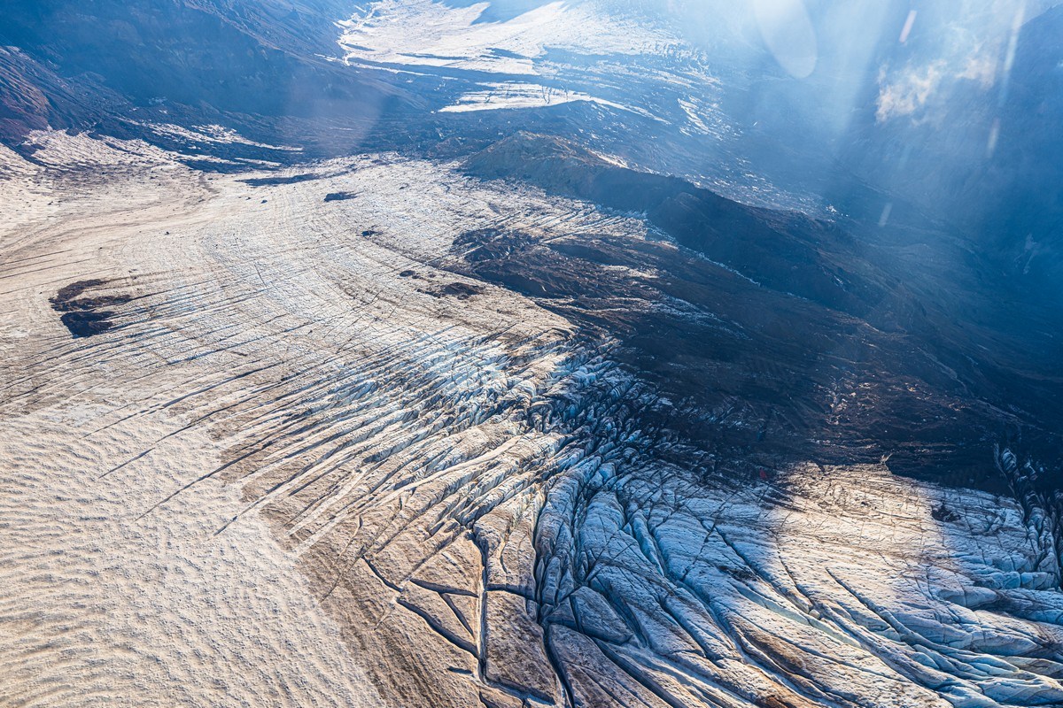
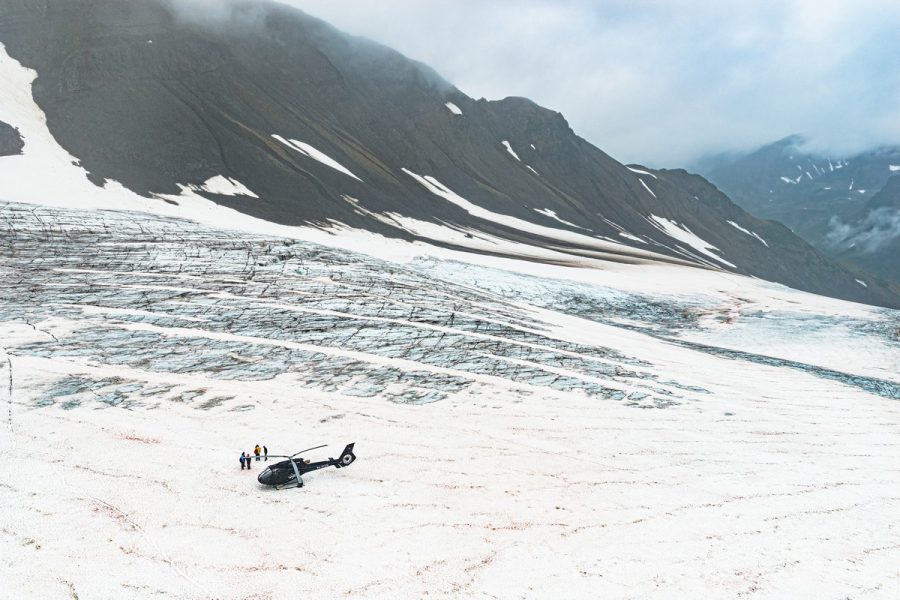
Before heading south, despite the gloomy overcast skies, some of us still decided to make a short outing from our base – Tumroki Hot Springs – to the glaciers of the Kronotsky Peninsula. I passed on this event, since ice, IMHO, should only be viewed in sunny weather (walking on glaciers in foggy gloom only spoils your mood). So the Kronotsky photos below are those taken by my travel companions…
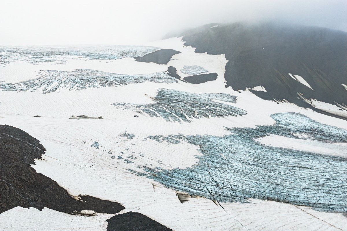
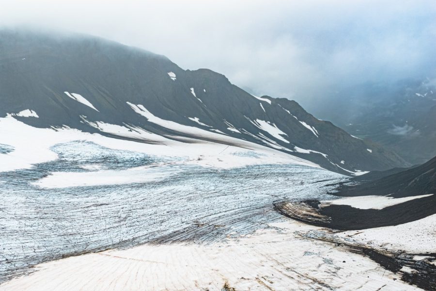
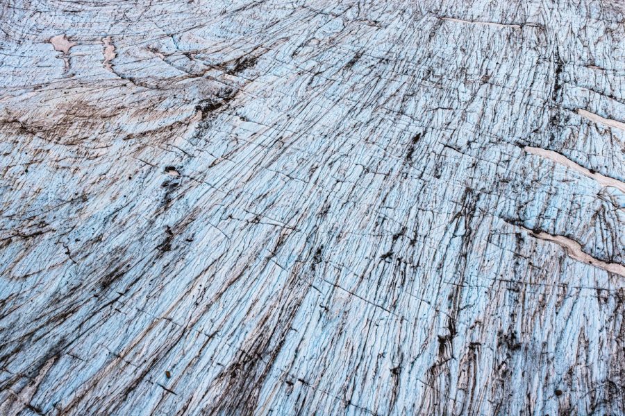
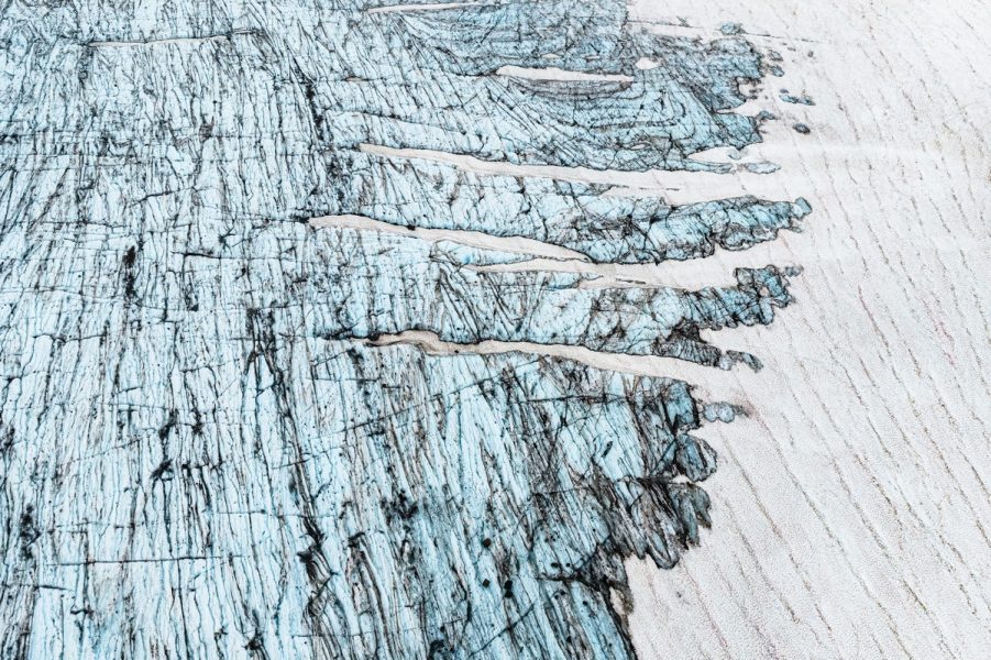
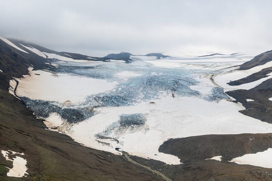
Their flight along the Pacific coast turned out quite decent:
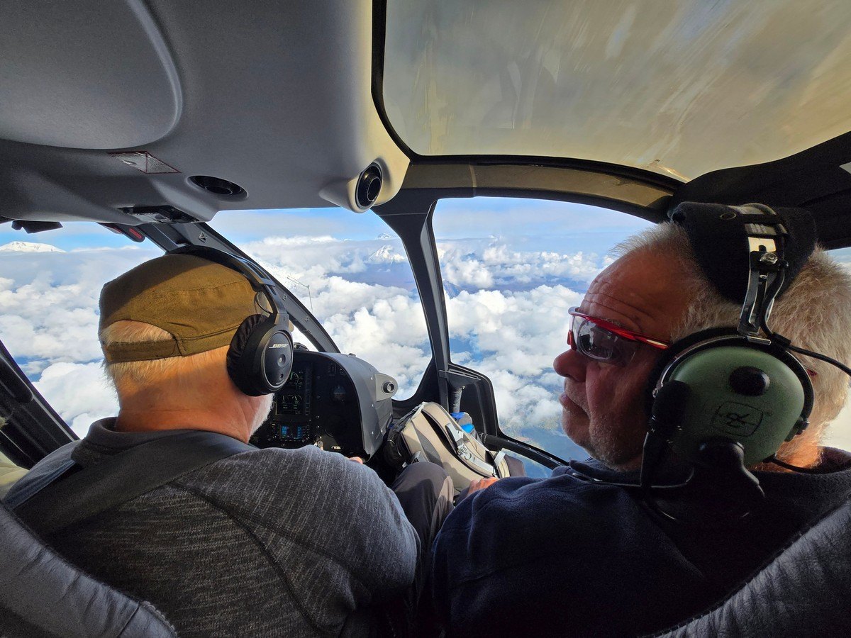
Sometime later we were finally, properly, saying goodbye to the north and pointing our rotors south…
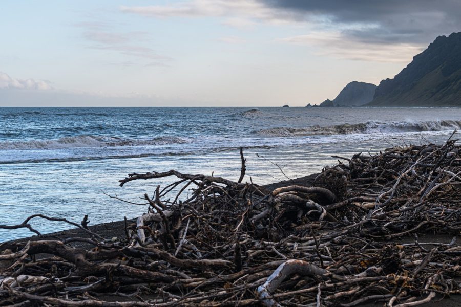
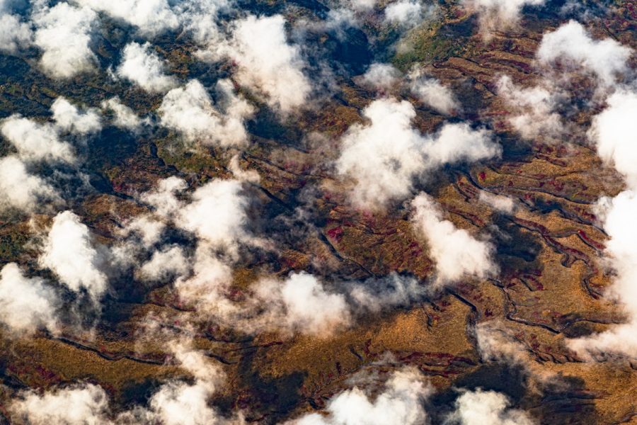
The first thing that greets us on this route is Kizimen volcano. A really interesting structure, but this time it was completely hidden by clouds – the direct opposite of our experience in 2024. This time we just flew on by…
It’s a shame to fly past views like that when you know what they look like in sunny weather :(
We had to make do with ground-level still-life pictures:
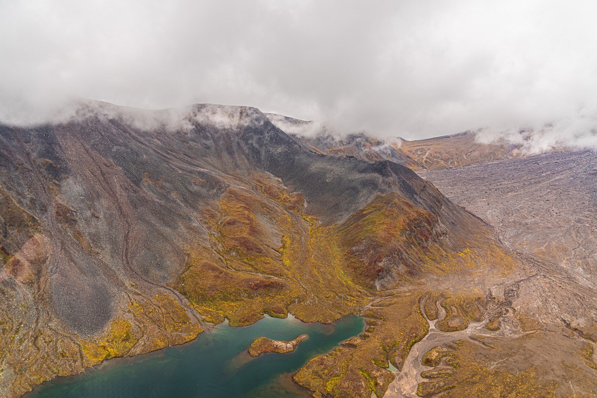
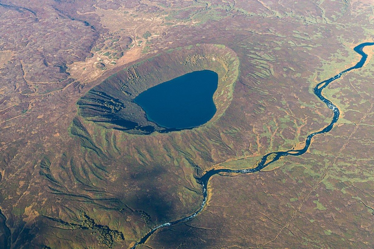
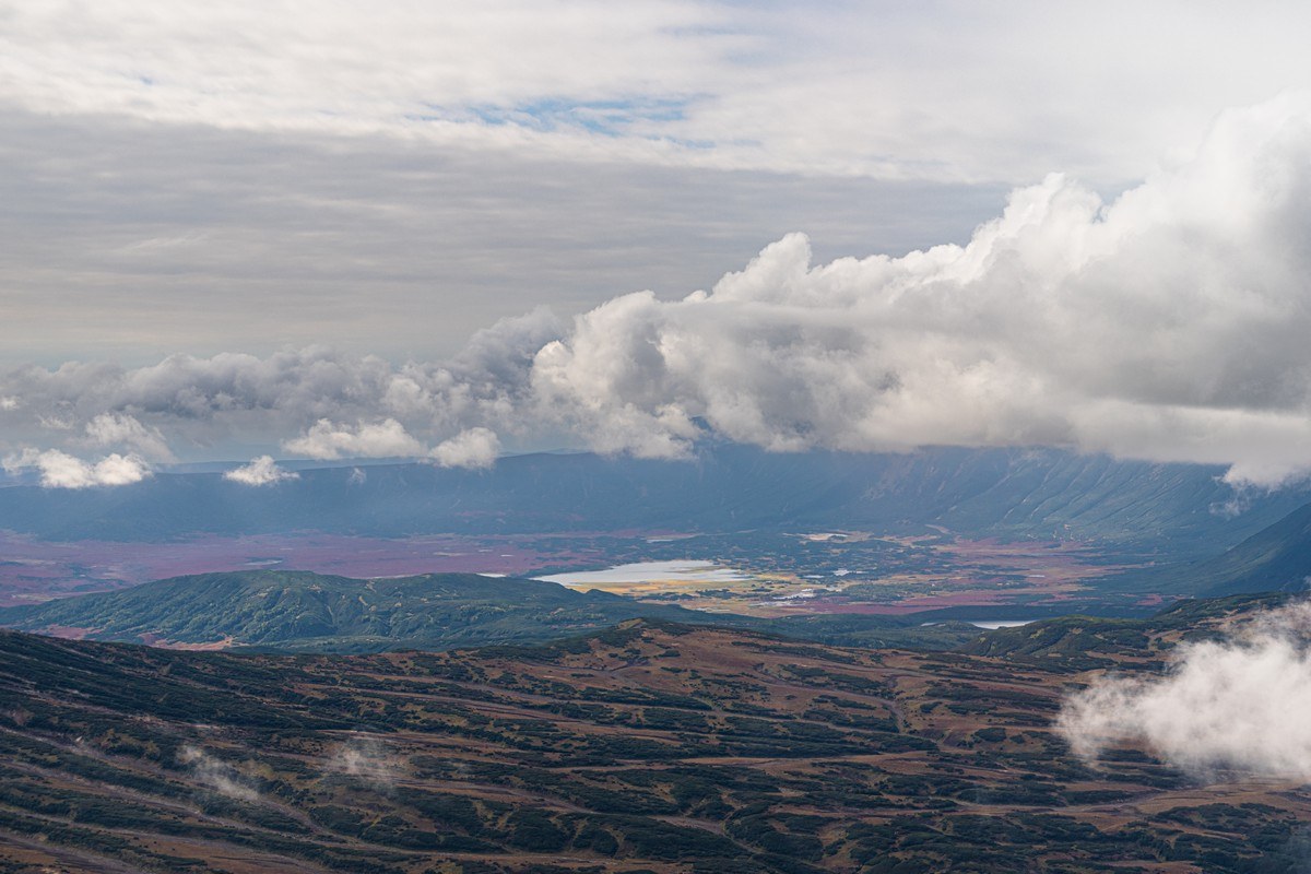
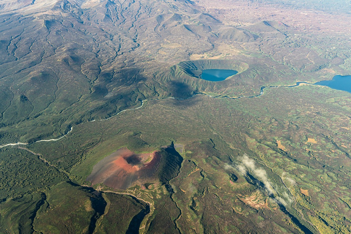
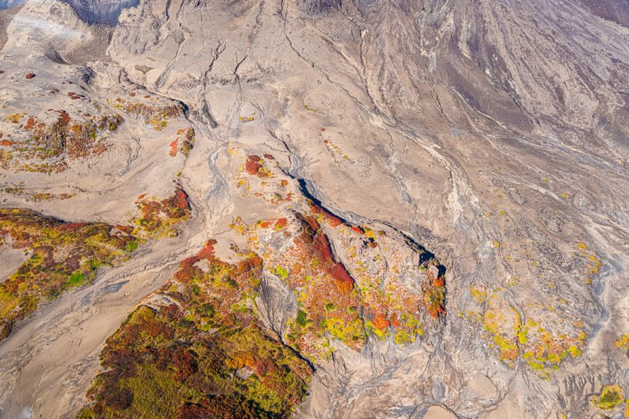
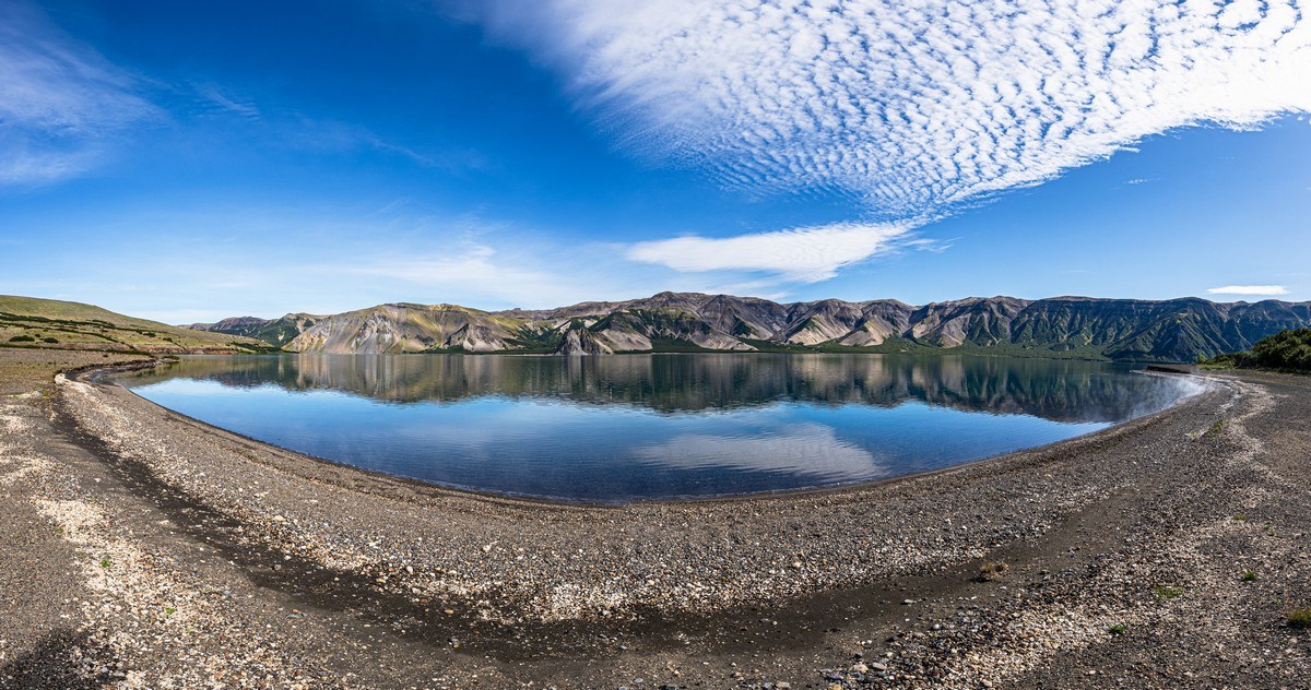
And here’s Lake Kronotskoye already:
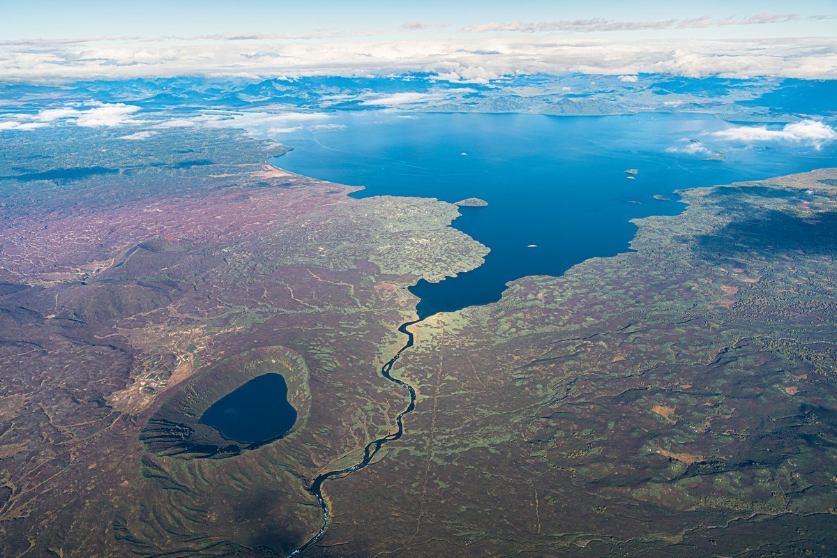
Down on the left – that’s not just any old lake, but a real maar – a crater formed by an explosion of superheated water vapor. It occurs when groundwater comes into contact with red-hot volcanic rock under high pressure. Sometimes the water just whistles out to the surface, but sometimes there’s a kaboom (it’d be fun to measure it in kilotons) – and you get a crater with a lake as a result ->
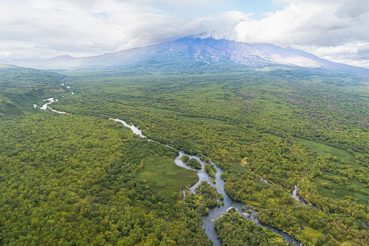
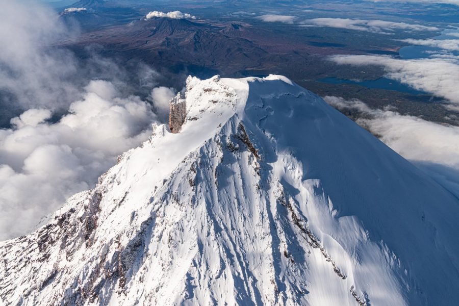
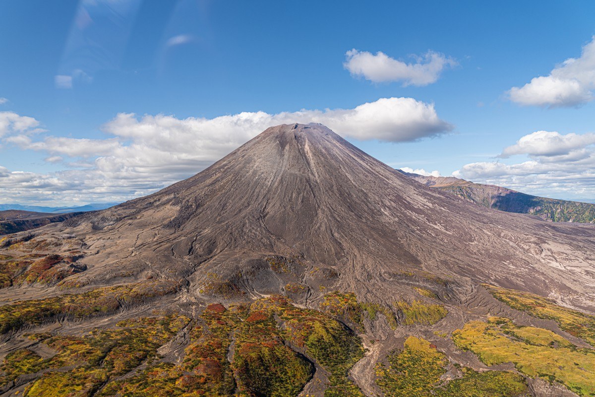
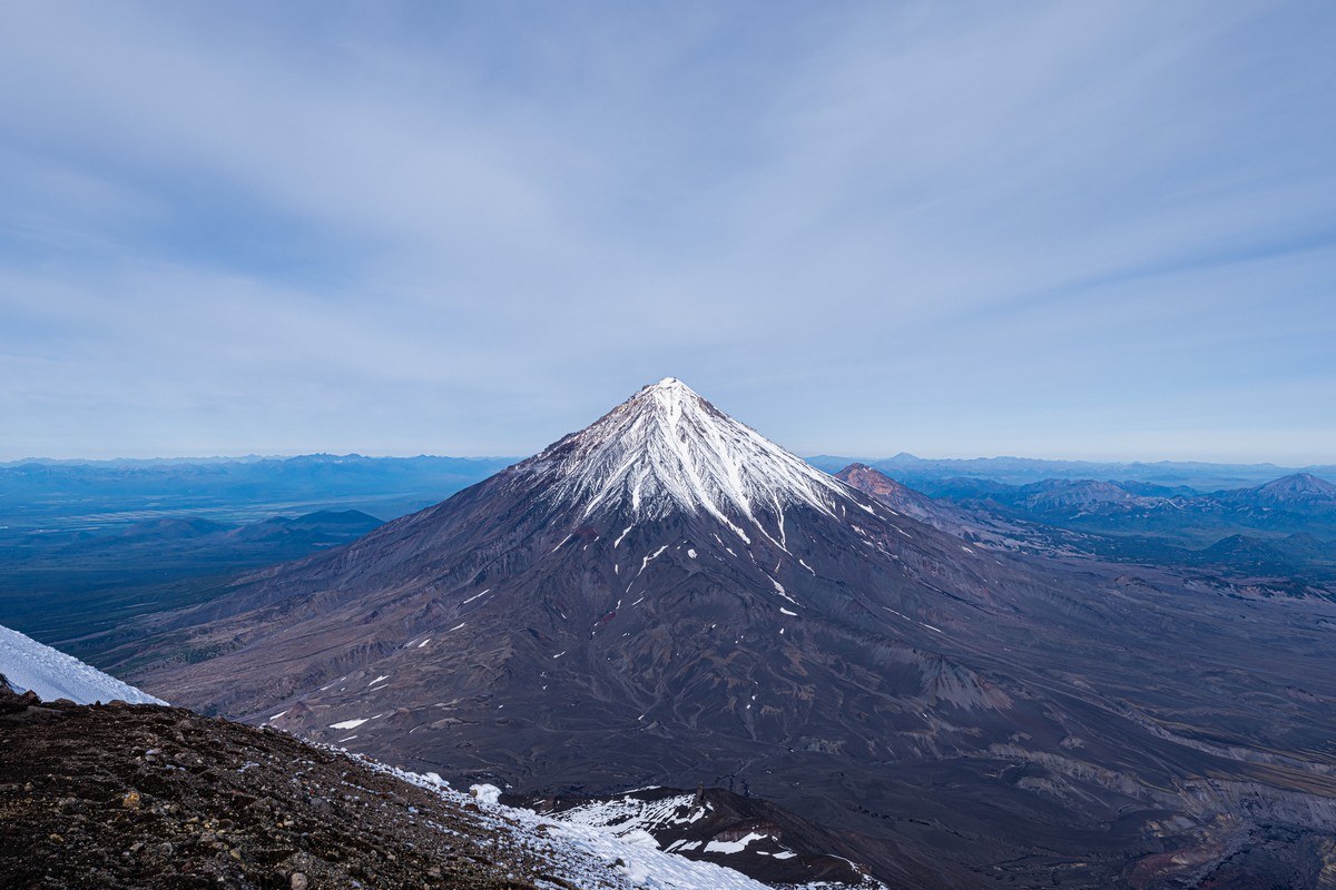
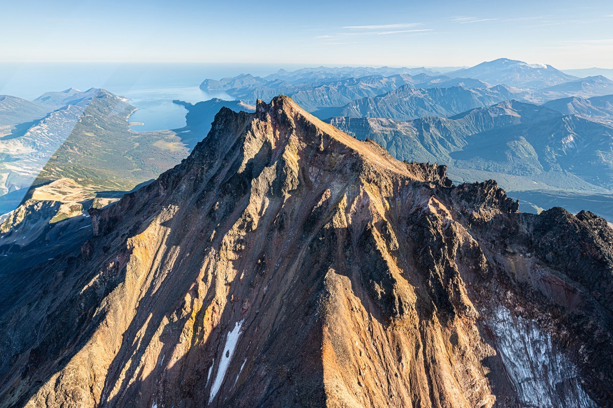
Everything here is Kronotsky (or Kronotskoe or Kronotskaya – the endings change depending on whether the noun it relates to is either masculine, neuter, or feminine): Kronotskaya Sopka; Kronotskoye Lake, and the Kronotskaya River that flows out of it. And all around it – the Kronotsky Nature Reserve. But the most beautiful thing is, of course, the volcano (Kronotskaya Sopka). I’ve said it plenty times before, but it’s one of the most beautiful volcanoes I’ve ever seen. A construction of perfect design:
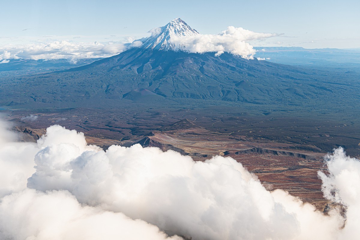
I mentioned last year how its shape is a good example of Laplace’s equation, meaning that it’s mathematically precise.
This time we were shown it slightly covered by clouds; the photos in the link above are better, btw.
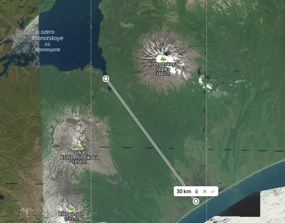
Not so long ago, a scandal broke out in these parts over the protection of the nature reserve and the environment in general. Namely: at the foot of Kronotsky volcano lies Kronotskoye Lake, from which the Kronotskaya River flows and, after some 30+ km, empties into the Kronotsky Ocean. Oh, pardon me, into the Pacific Ocean :)…
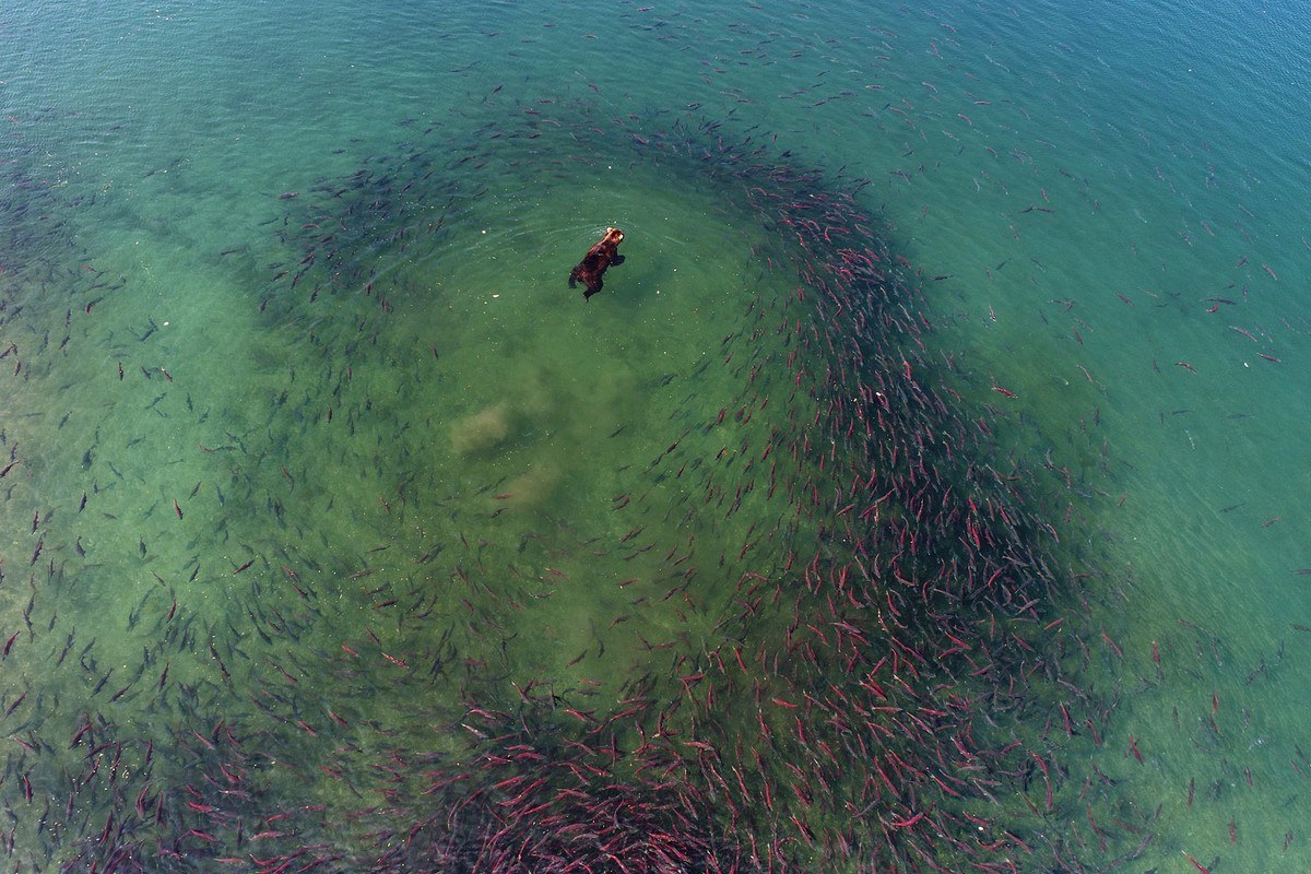
Every year, multimillion shoals of salmon come into all the rivers of Kamchatka. There are different kinds of salmon, with differing appearances: some are fat, others not so much; some are tasty, others not so much, and so on. The roe also differs in color, taste, and size. And they come to spawn in different seasons. Some in late spring, others in summer; there are even fall species, it seems. They go up the freshwater rivers to find a secluded spot: the females to lay their eggs, the males to fertilize them. And to die. Yep, the vast majority of salmon breed once in their lifetime. And after that they die. Some species even hook themselves with their gill “whiskers” onto something catchy underwater before death, so that their carcasses become food for the fry that hatch from the eggs. That’s how quirky Mother Nature is.
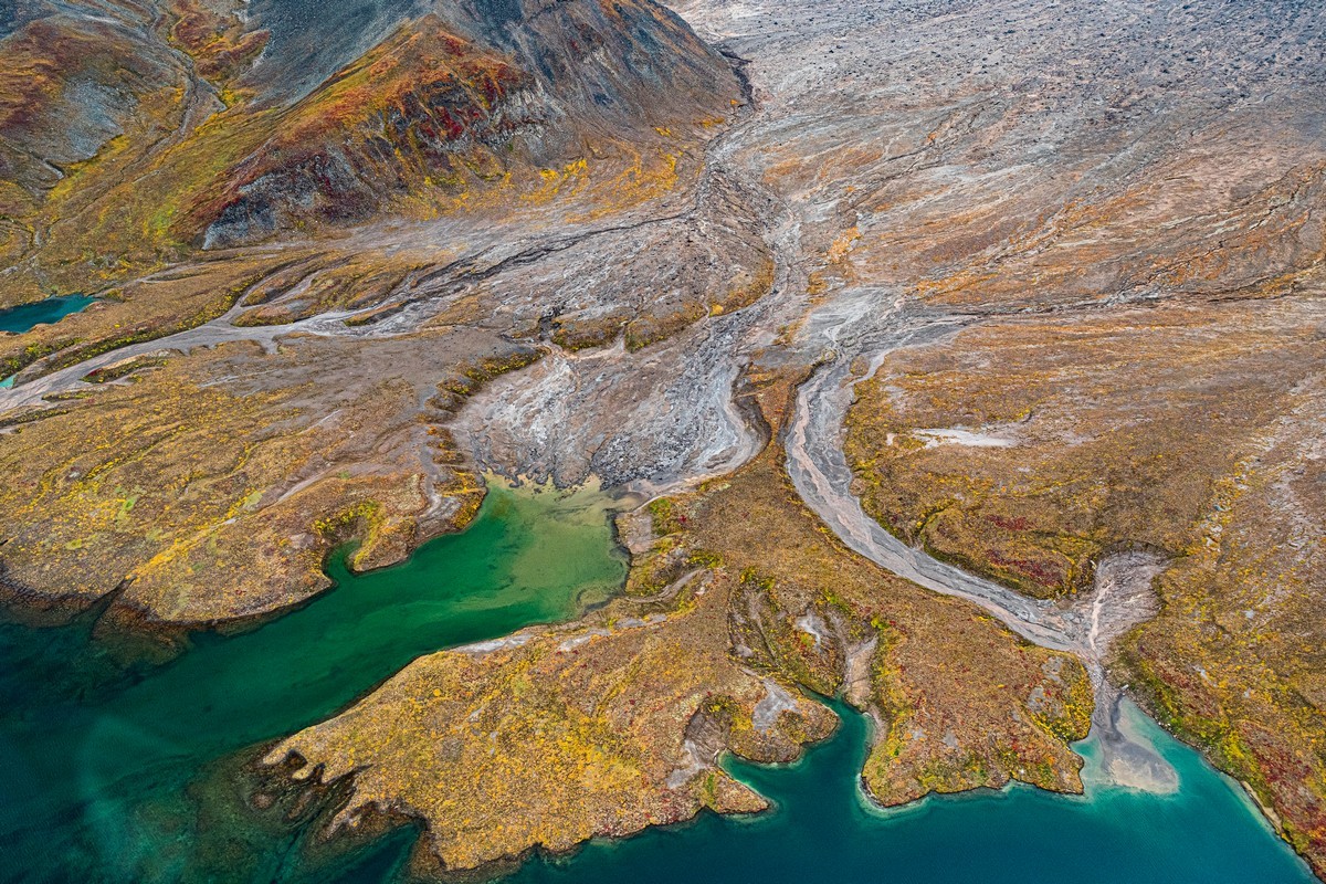
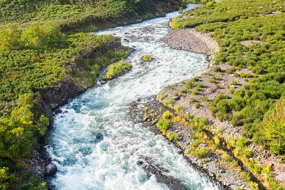
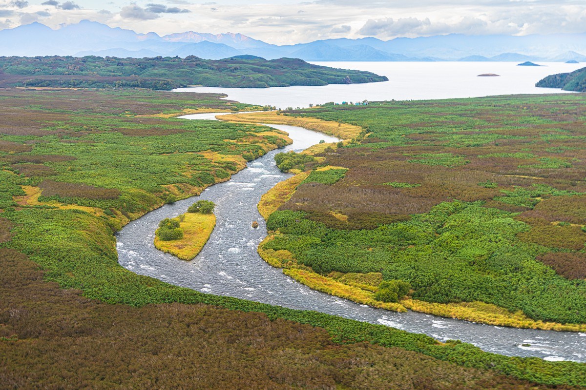
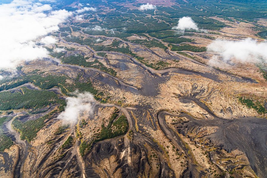
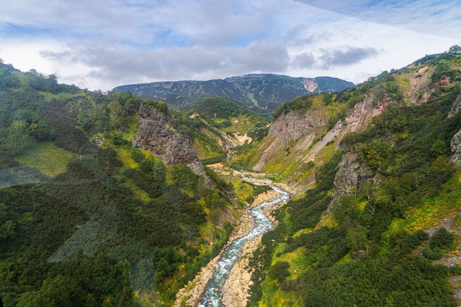
The Kronotskaya River is no exception. Huge shoals of various salmon species come here too – from over there: the estuary; rather – the liman (a type of lagoon).
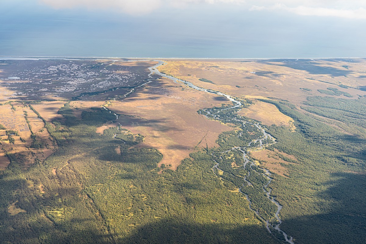
So, from that lagoon the salmon pushes its way up the river. And at first it manages it:
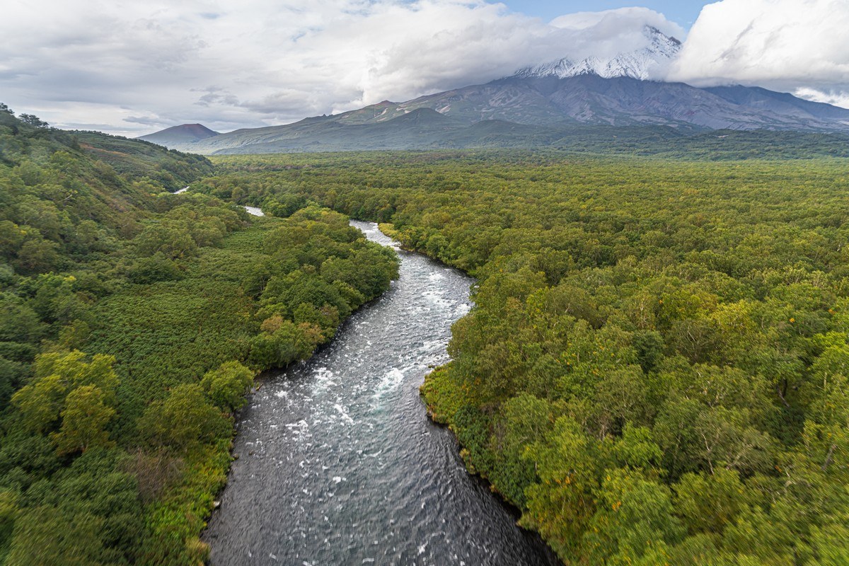
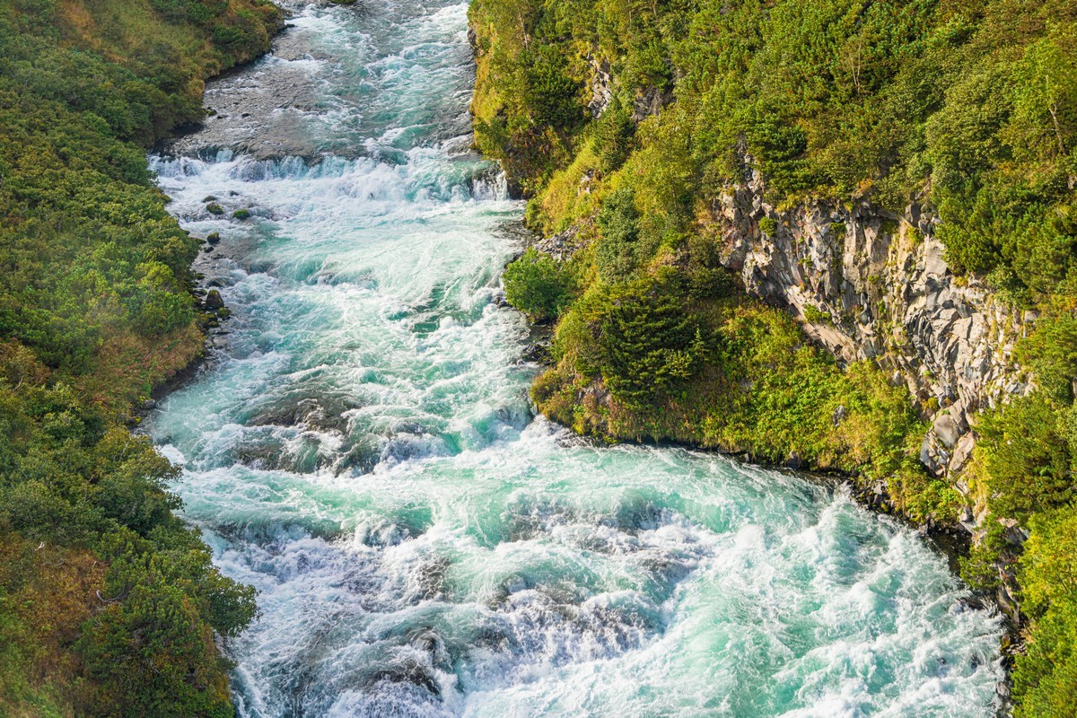
But then the river gets rougher, and here the salmon have to work really hard:
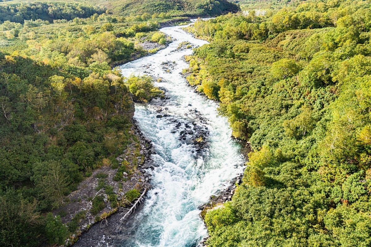
// Ooh – rapids. They reminded me of our whitewater rafting adventures in Altai last summer. But I digress…
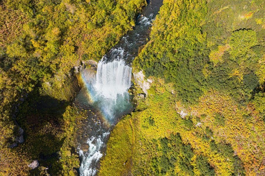
And then there are waterfall sections that ocean salmon simply aren’t able to overcome ->
Anyway, sometime around 2018–2019, local greedy wheeler-dealers fishing companies approached the Kamchatka authorities with a proposal to build, parallel to the salmon-impassable stretch of the river, an alternative “fishway” – a stepped stream along which the salmon could reach the lake. Yes – the idea is clear: the fish go to spawn in fresh water, and the more spawning grounds there are, the more fish there’ll be in the ocean, and the bigger the catch – right?
In other words, it’d give ocean salmon the chance to spawn in Kronotskoye Lake, which should lead to an increase in the fish population, attract crowds of bears, and generally boost the diversity of the local ecosystem. Kind of like how it all works at Kurile Lake. The scenes there look something like this: bears, salmon, and tourists all together, all happy ->
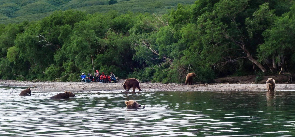
A drone shot by Igor Shpilenok:
But what an uproar it caused. Folks of… greener persuasions reckoned this unique nature reserve would be destroyed, and that the costs would be astronomical. What’s interesting is that the management and staff of the Kronotsky Reserve were also against this idea. They said you can’t touch such a natural ecosystem. Nature made it this way – isolated the lake from the sea, and freshwater endemic river salmon developed there; don’t touch it. I respect that view, but I don’t share it. It would be fascinating to study how fast ocean salmon would return to the lake after 12–14 thousand years of isolation (back then there was a volcanic eruption, lava flows blocked the river and sealed the passage). I’d have taken the risk – it’s just too curiously interesting.
But here the reserve decides all. They said “no” – and that’s that. Oh well…
To illustrate the engineering idea of connecting the ocean and a lake, here are some photos from around the Itaipu Hydroelectric Power Plant – coincidentally covered in my previous post. There they built this kind of fishway for migrating fish. See – it is possible, and ecosystems are just fine!…
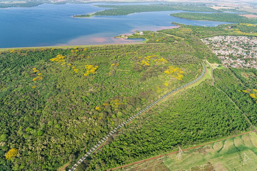
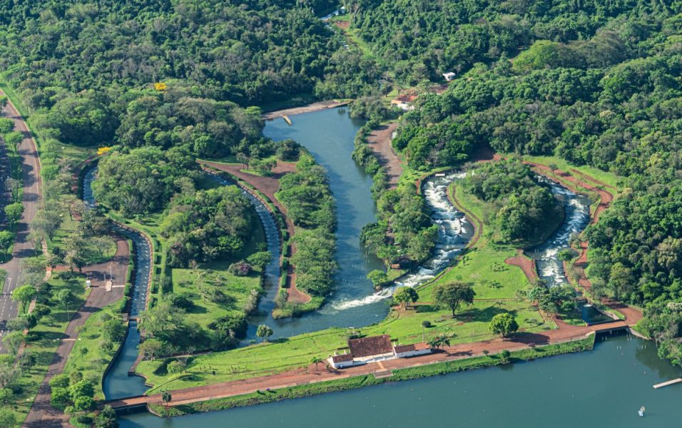
They proposed to build something similar along Kronotskaya River…
…So the salmon in their millions could make it all the way to Kronotskoye Lake:
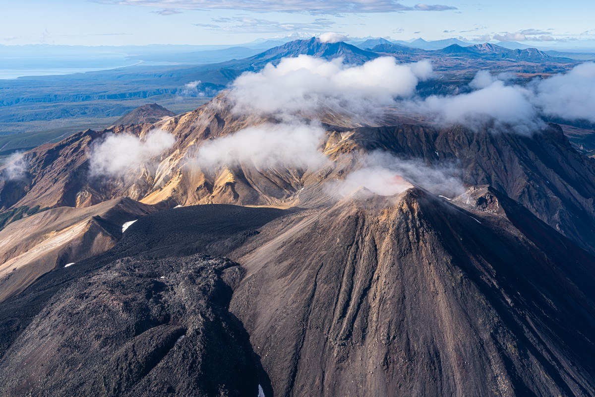
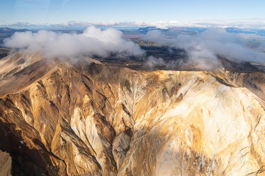
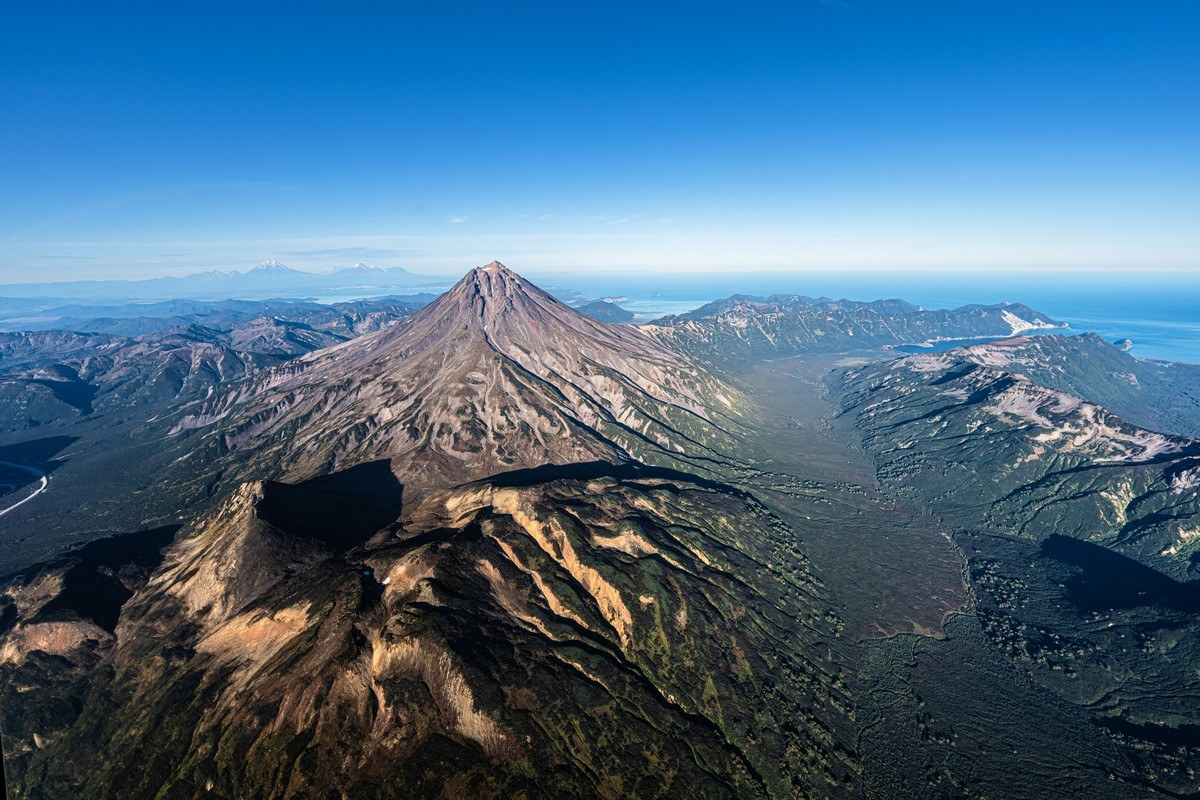
Next on our route heading further south – Krasheninnikov volcano. Already seen up close this trip, we didn’t hang about this time…
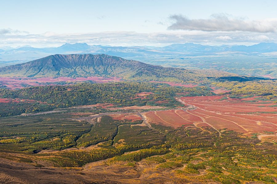
Over there – Uzon caldera:
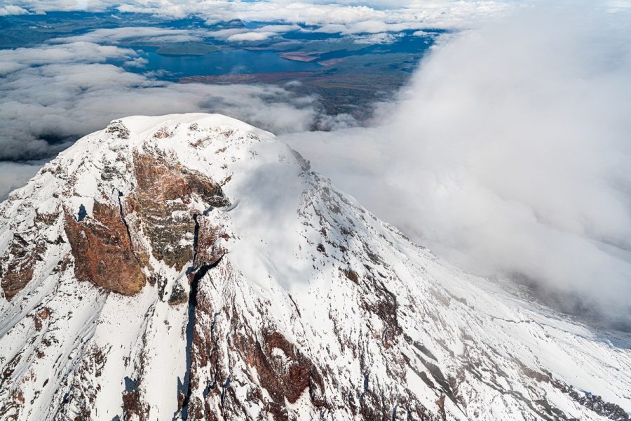
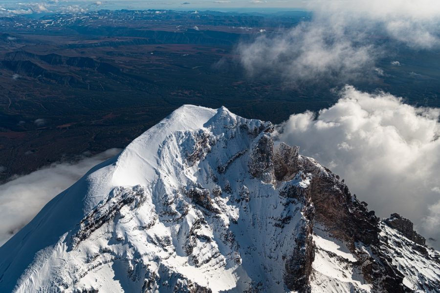
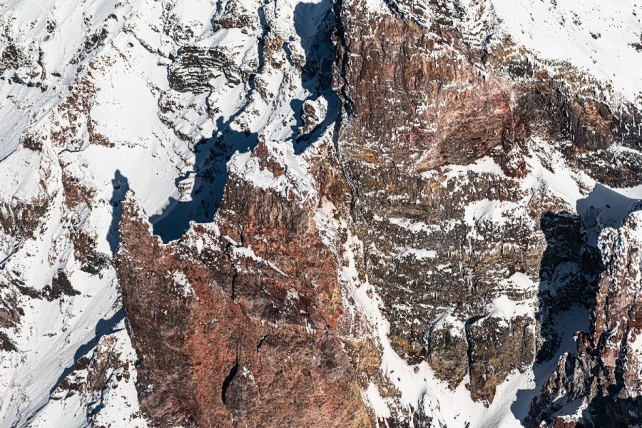
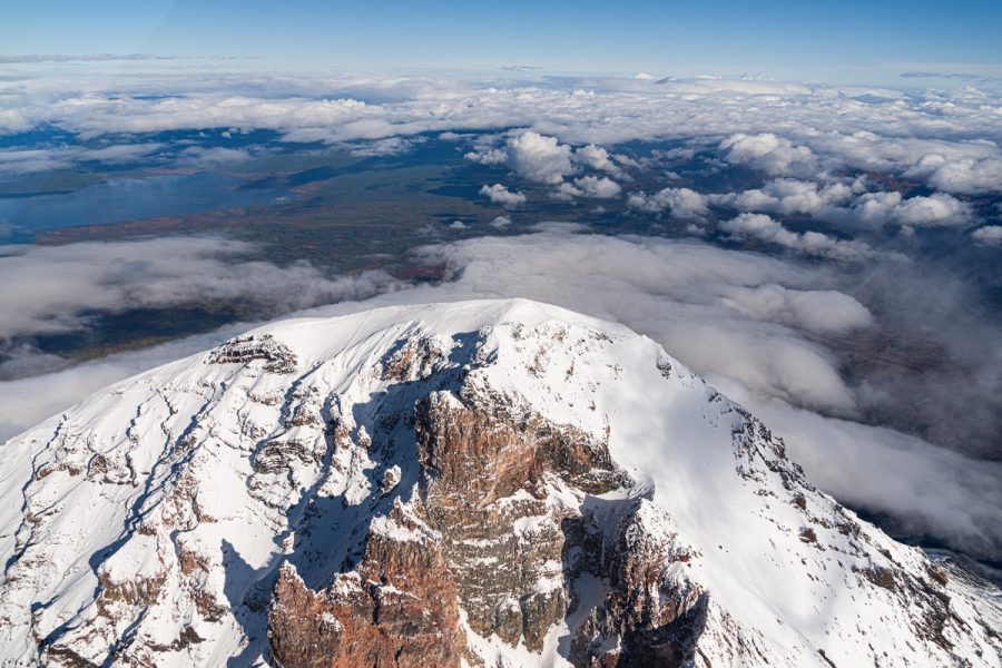
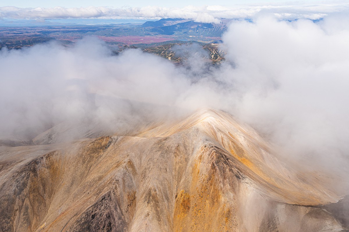
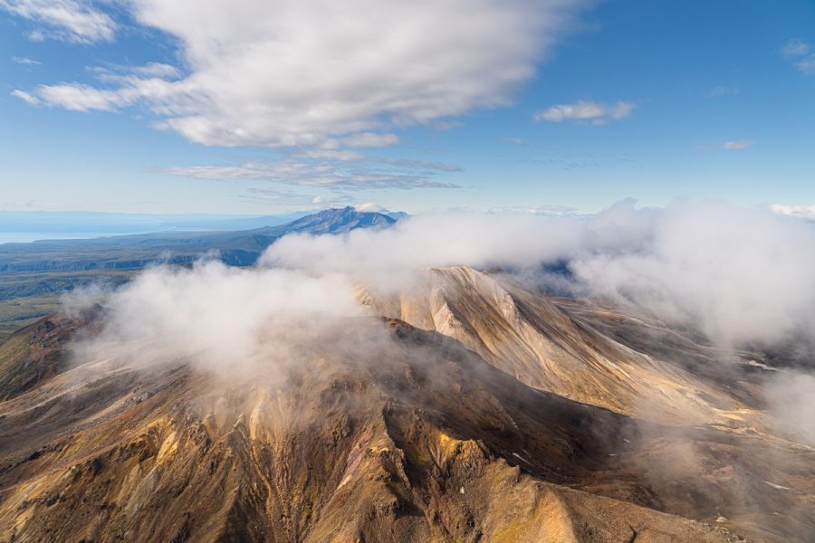
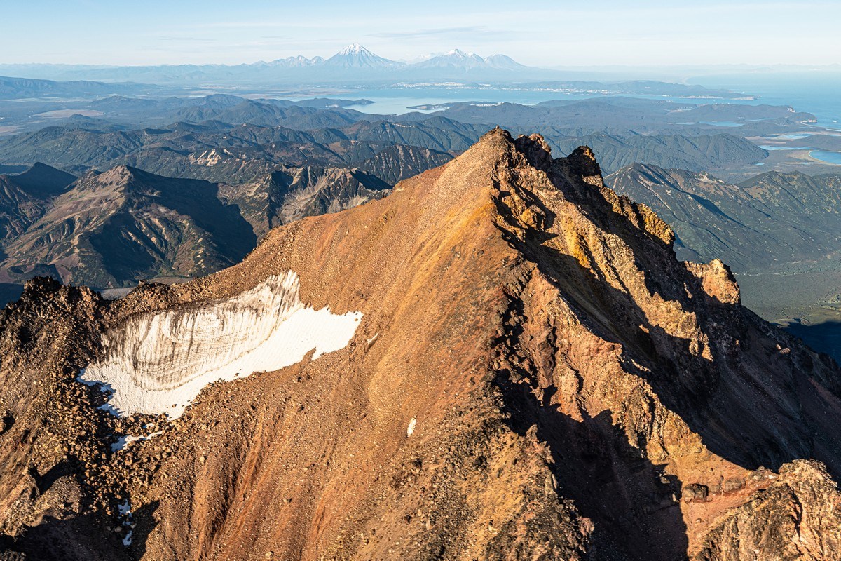
Day by day the weather kept getting better and brighter, and on the sixth day of the trip we finally got to see Kronotskaya Sopka, aka Kronotsky, in all its glory:
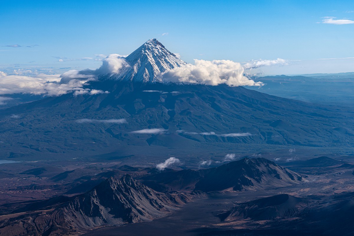
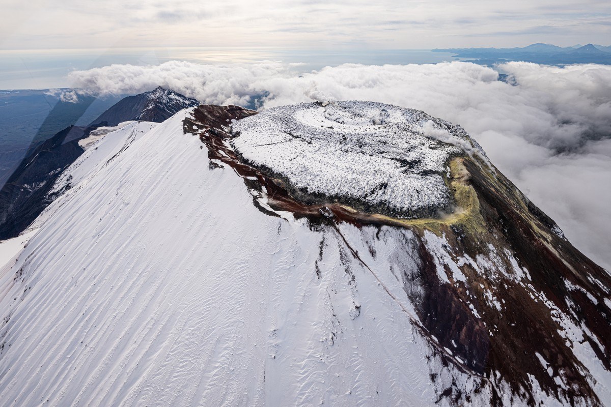
It’s impossible to fly past without circling the summit:
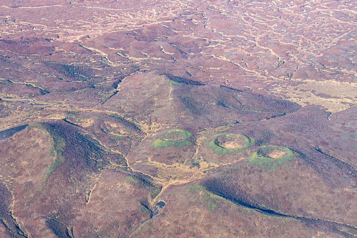
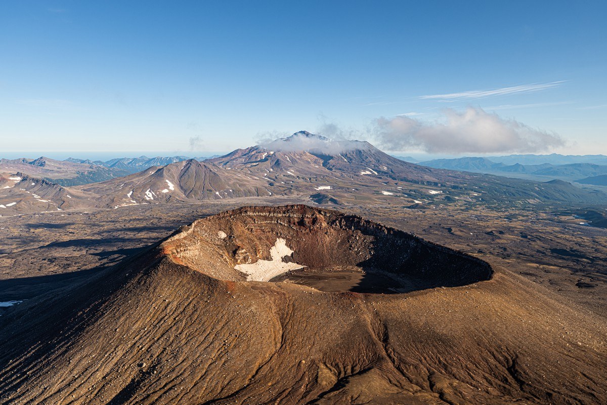
Maar and mini-craters:
Got to get your ducks craters in line ->
Onward – southward…
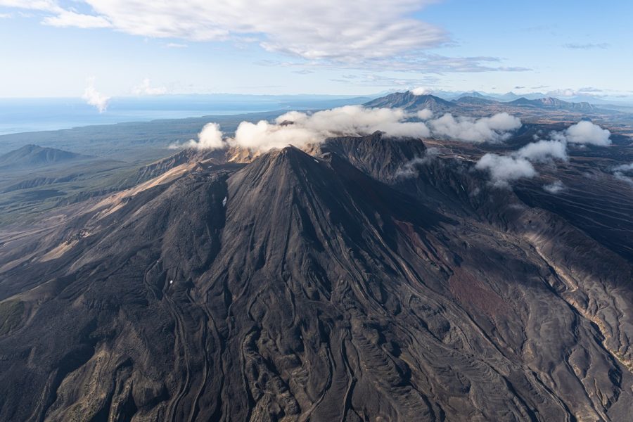
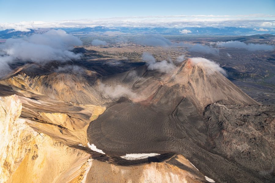
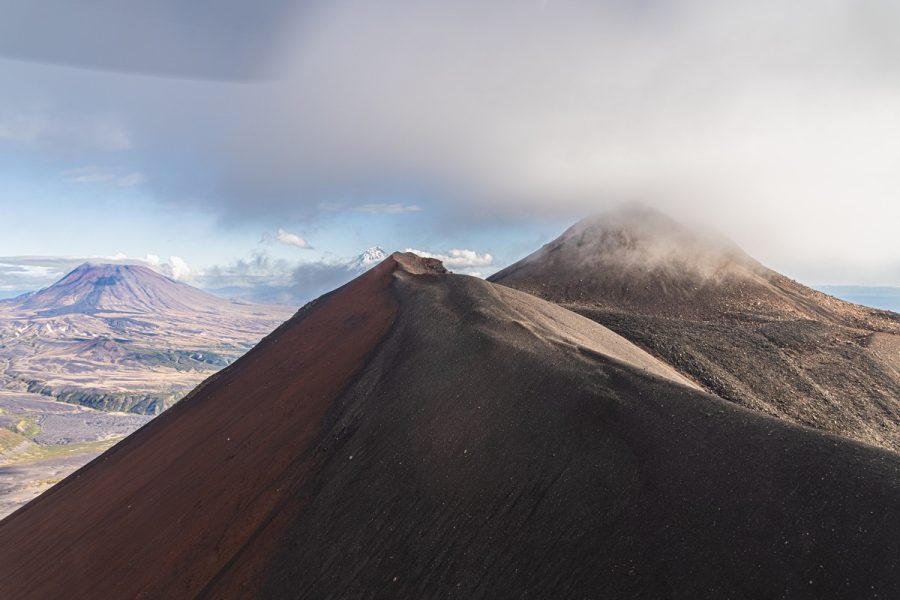
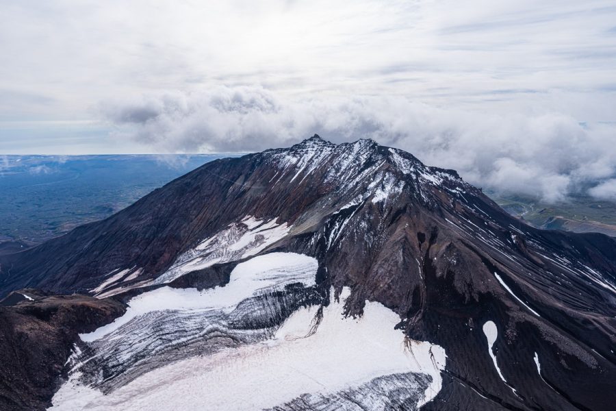
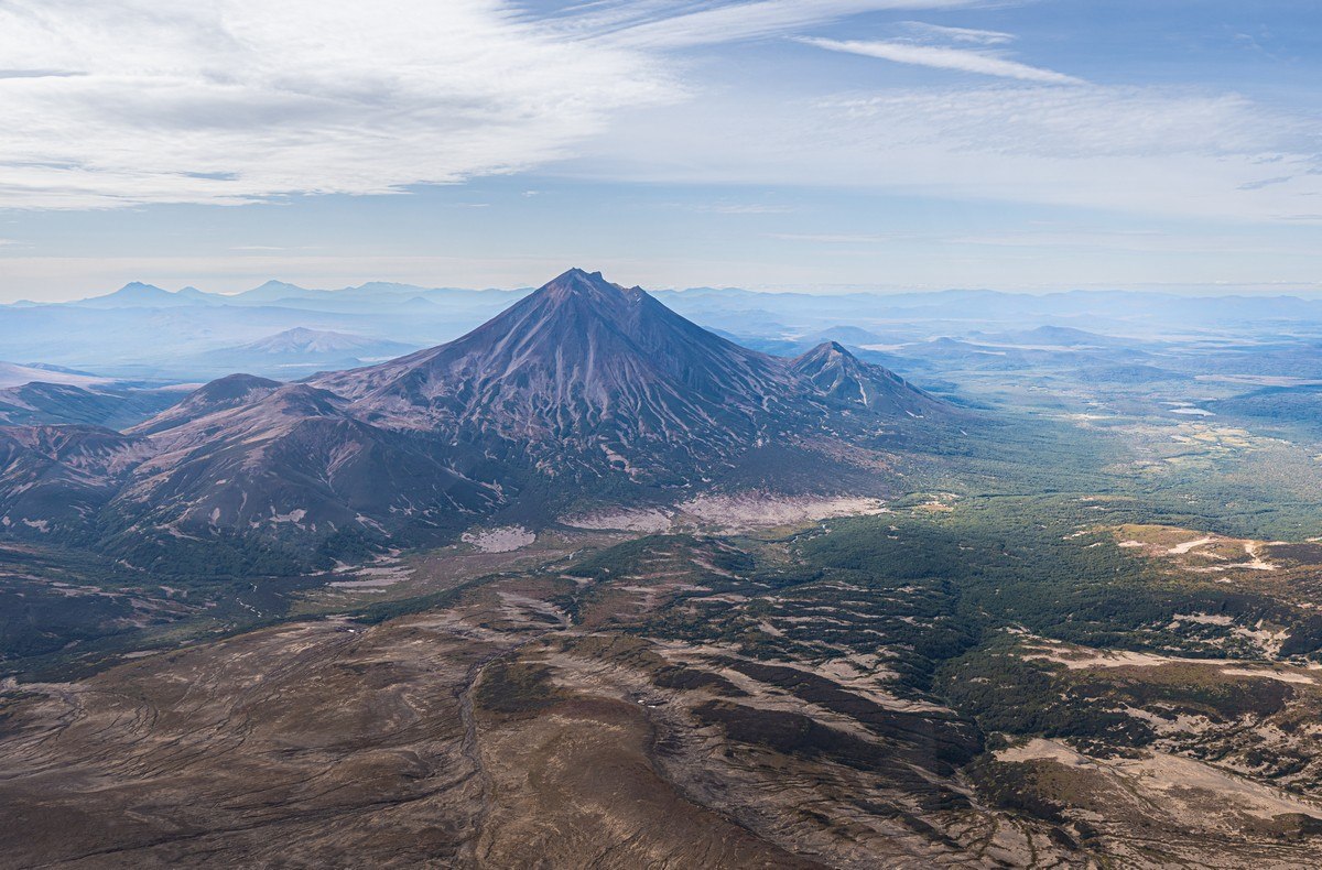
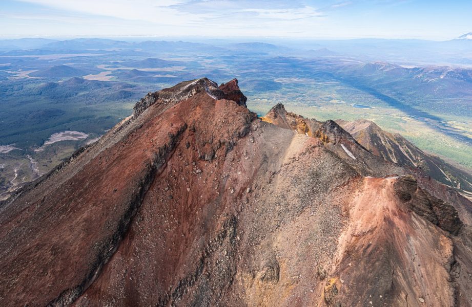
Suddenly – Kikhpinych! ->
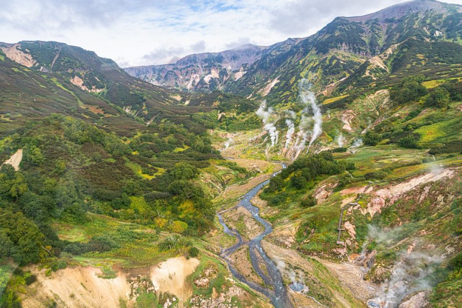
Apparently, it’s Kikhpinych’s underground volcanism that makes the nearby Uzon caldera bubble, and the Valley of Geysers shoot up fountains of boiling water.
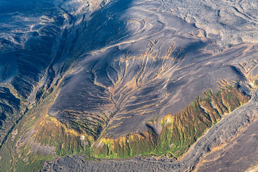
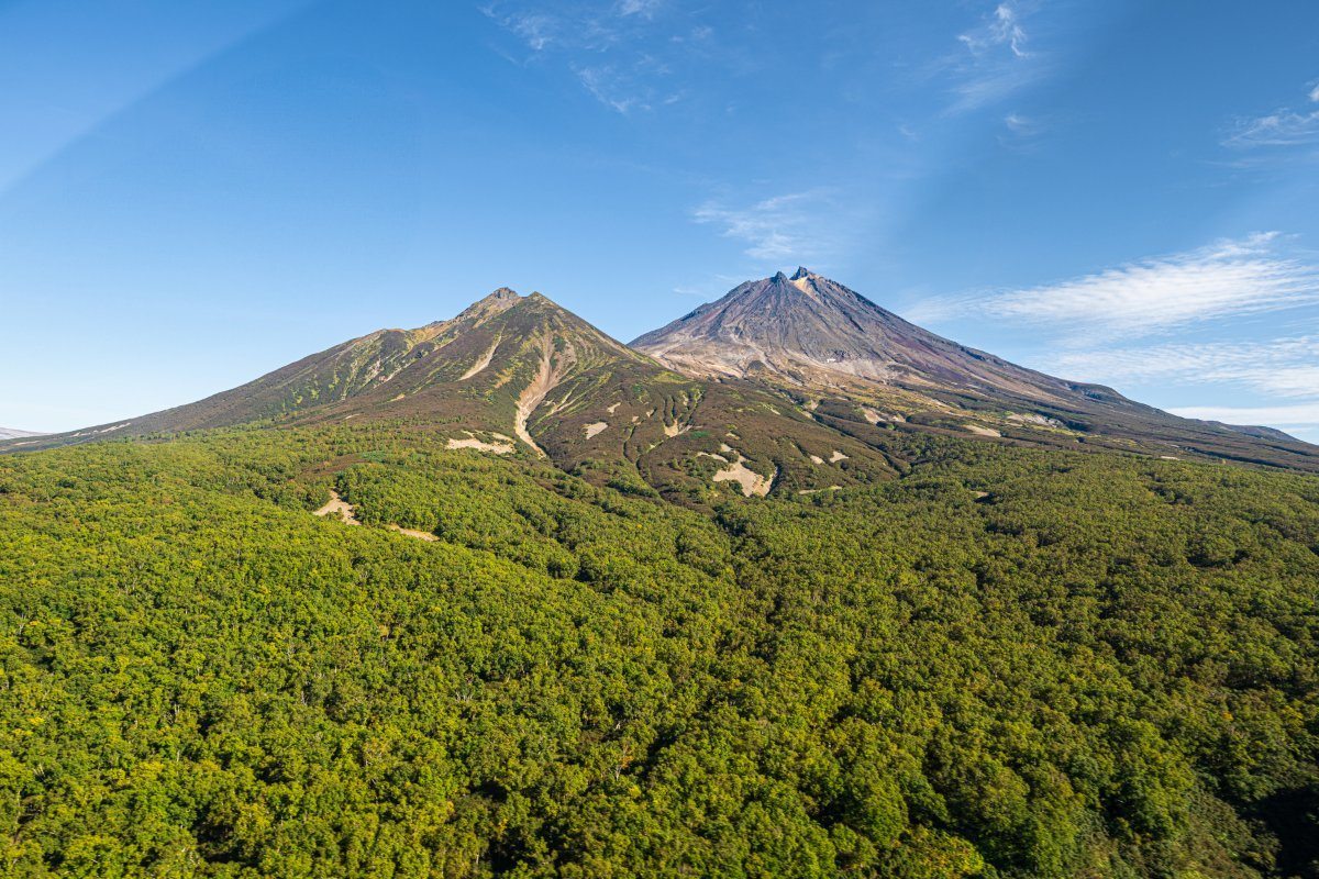
Here are some shots of the summit from different angles:
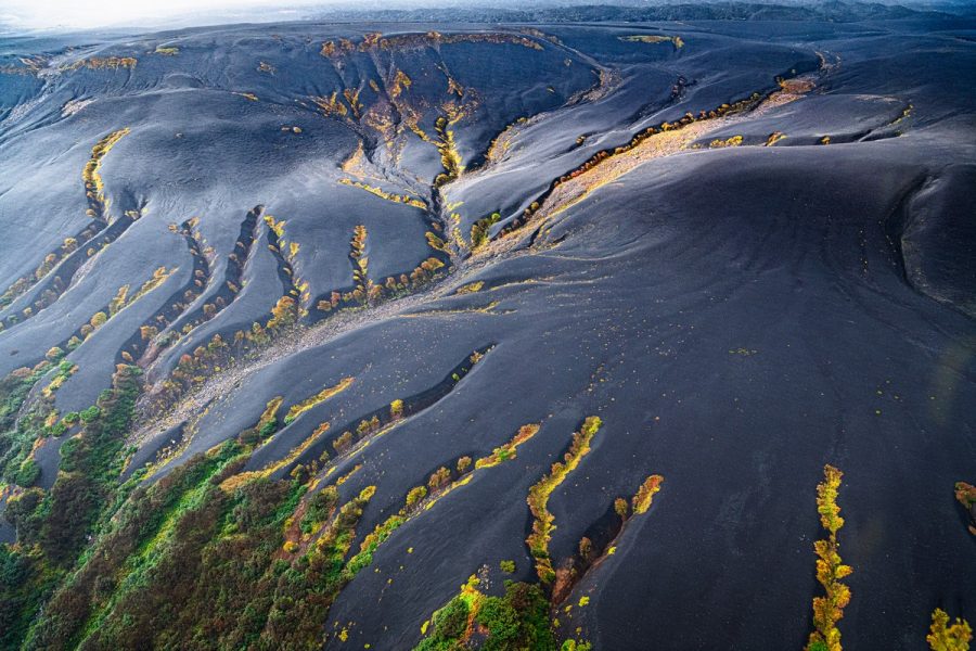
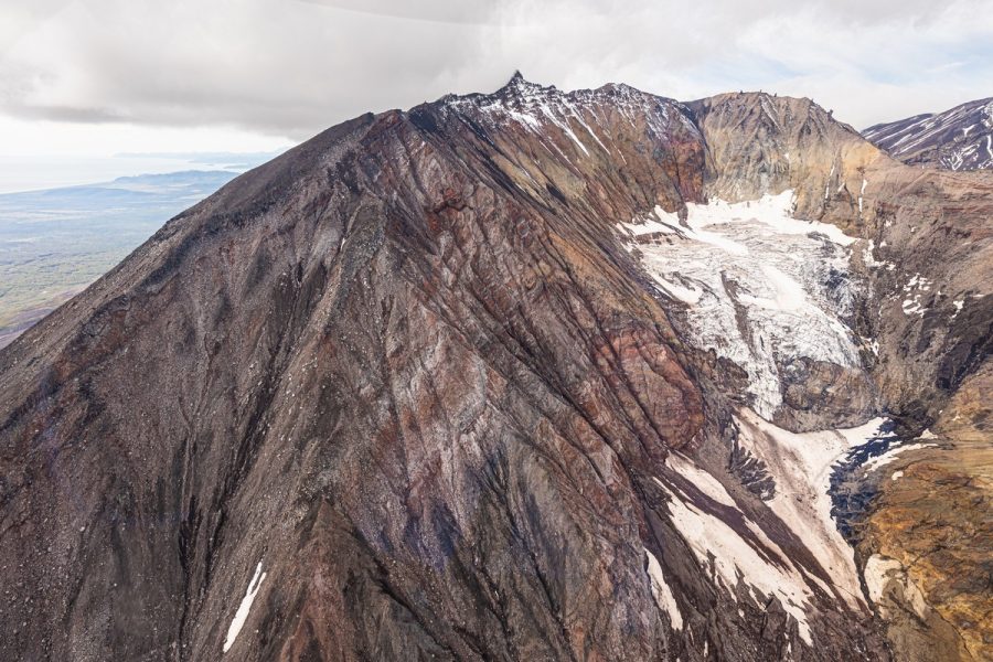
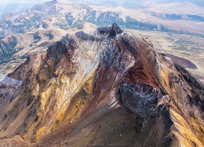
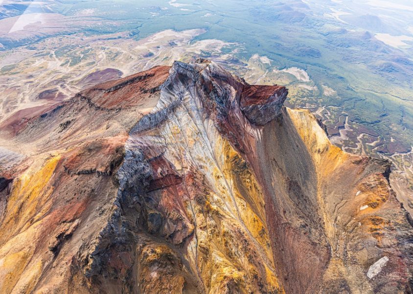
Kikhpinych’s lava fields. Hard to believe they’re at least 600 years old ->
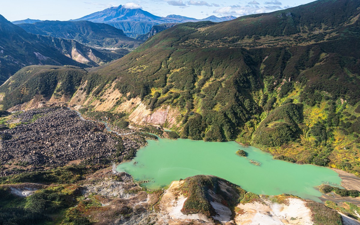
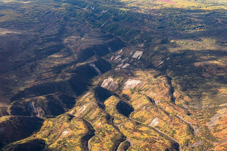
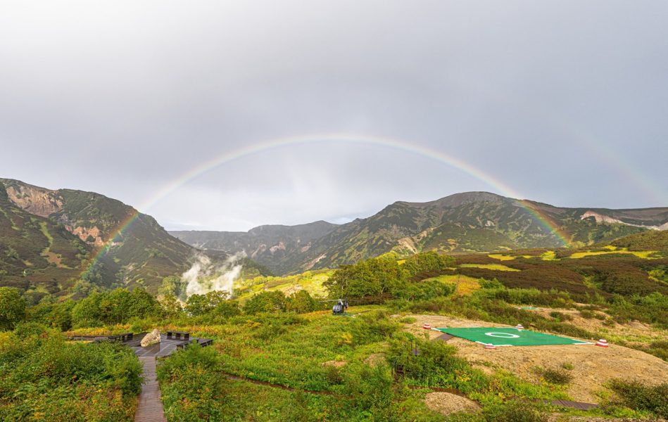
Time for a stop at the ranger station in the Valley of Geysers – not so much to rest ourselves as to refuel the helicopter. Coming in to land, we noticed the dammed-up lake all bright green: the result of yet another landslide:
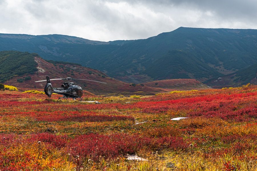
A perfect day for choppering:
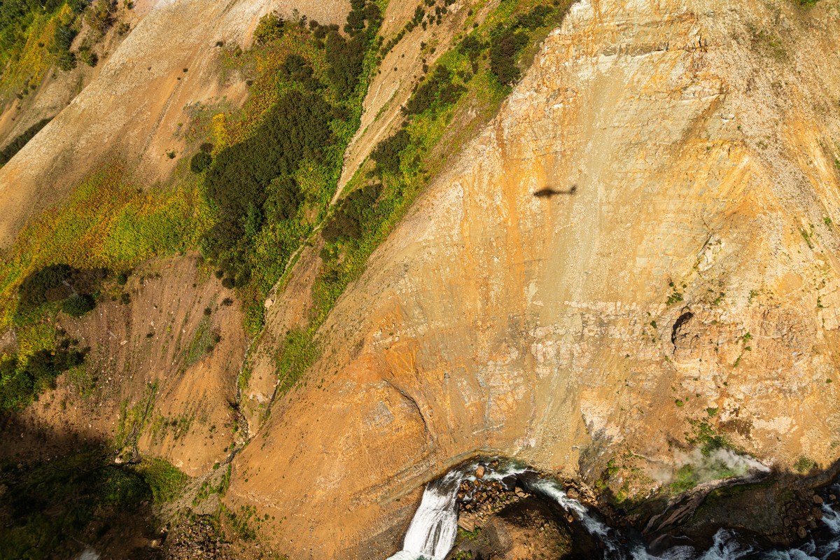
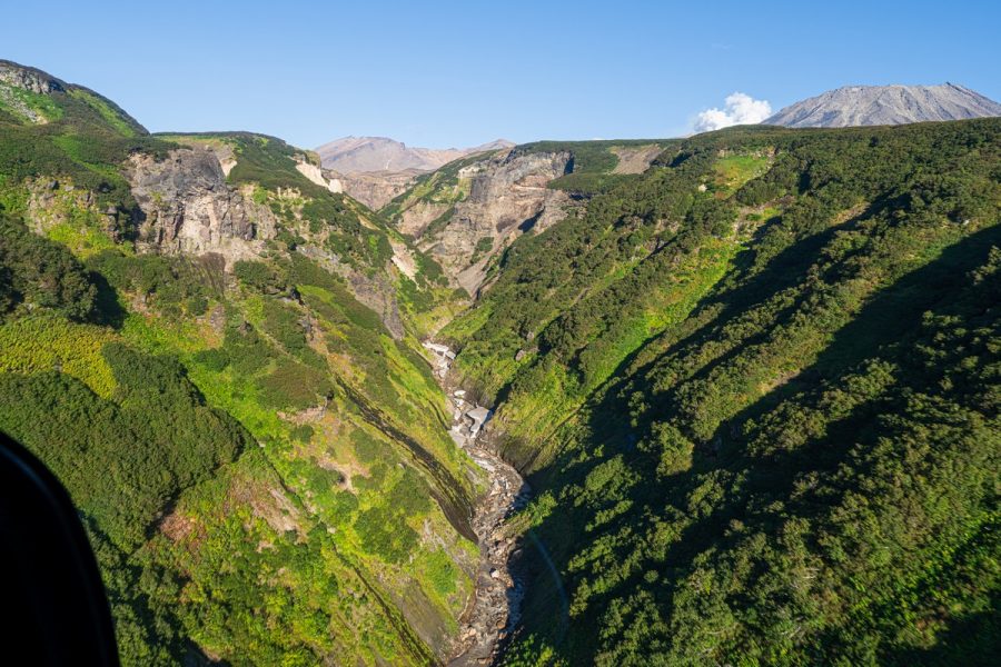
The little rivers here have carved canyons in volcanic rock. You can’t follow all their zigzags in a big Mi‑8, but in a smaller helicopter – it’s pure delight ->
That’s it, we’ve arrived. Another incredibly interesting Kamchatka day has come to an end…
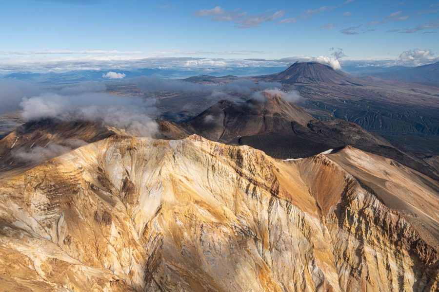
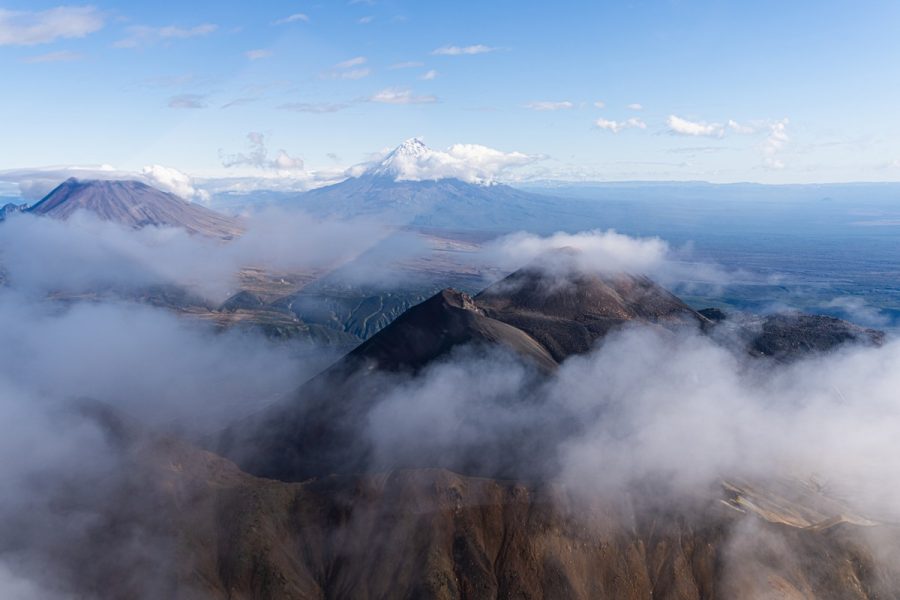
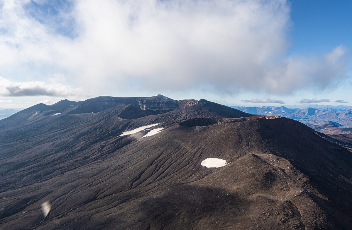
Next morning we’re up and off further south again. Next along the route – Maly Semyachik. I’ve already shown and told all about it, so here’s just a panoramic shot to refresh the memory:
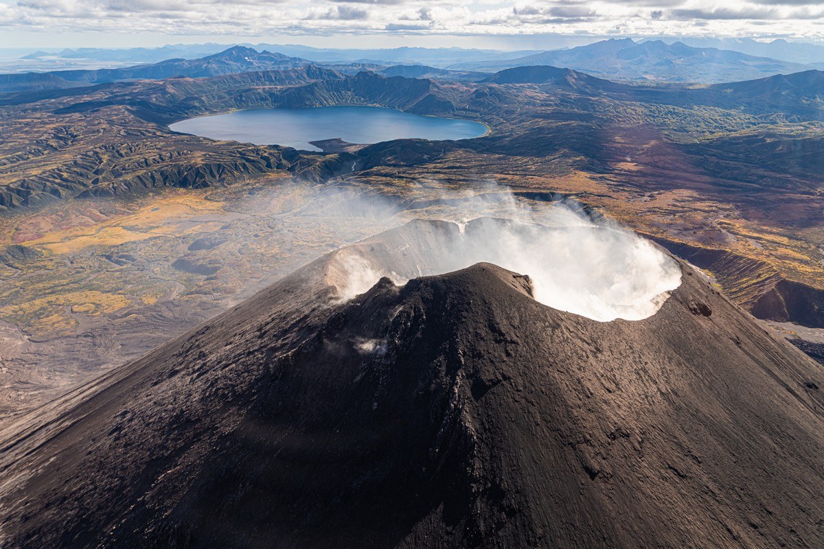
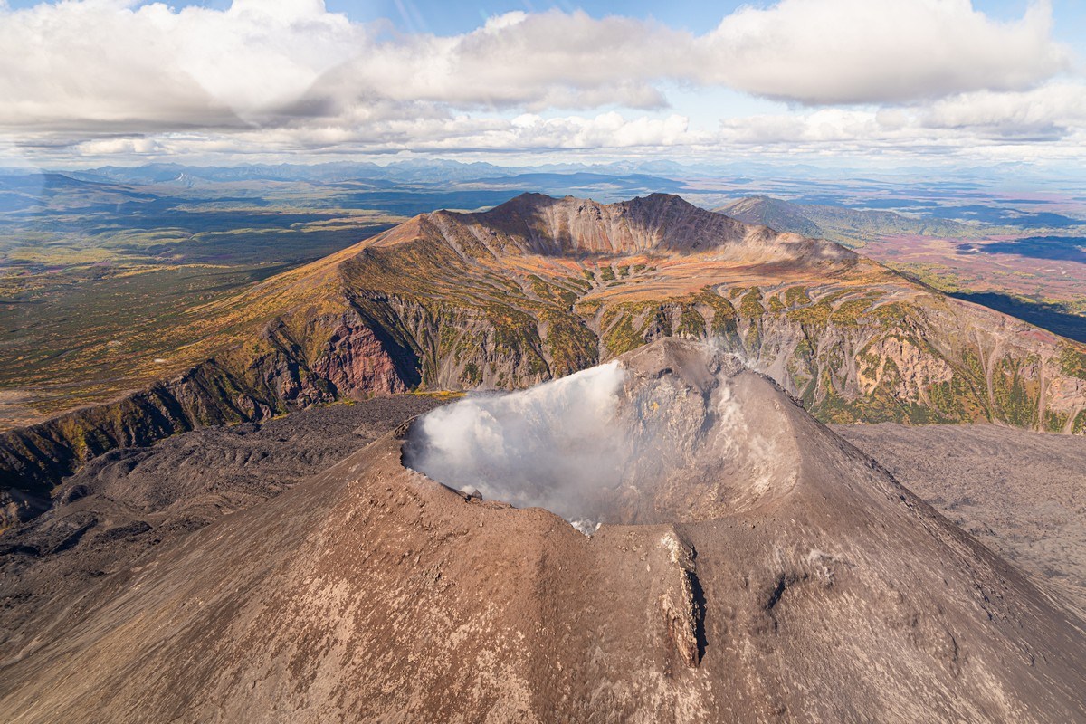
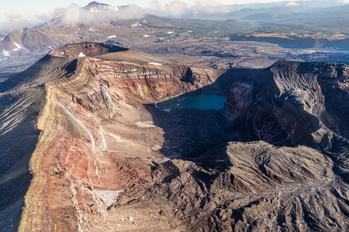
About 15km southwest of Maly Semyachik there’s another extremely contemplative and very active volcano – Karymsky ->
Its crater is constantly smoking, and sometimes it throws out pretty hefty columns of volcanic ash and gas. Here are the summit of the volcano and the lake (Karymskoye) in the old crater in the background:
A view from the other side:
Other ground-level still-lifes:
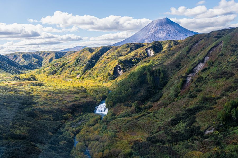
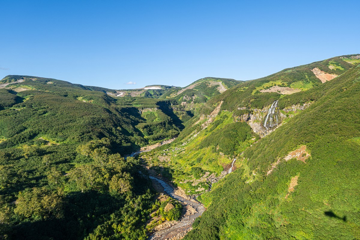
Flowing out of the Karymskaya River, Karymskoye Lake features a cascade of really nice waterfalls:
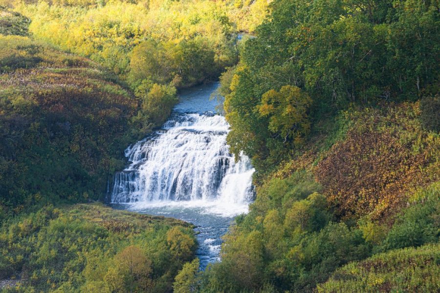
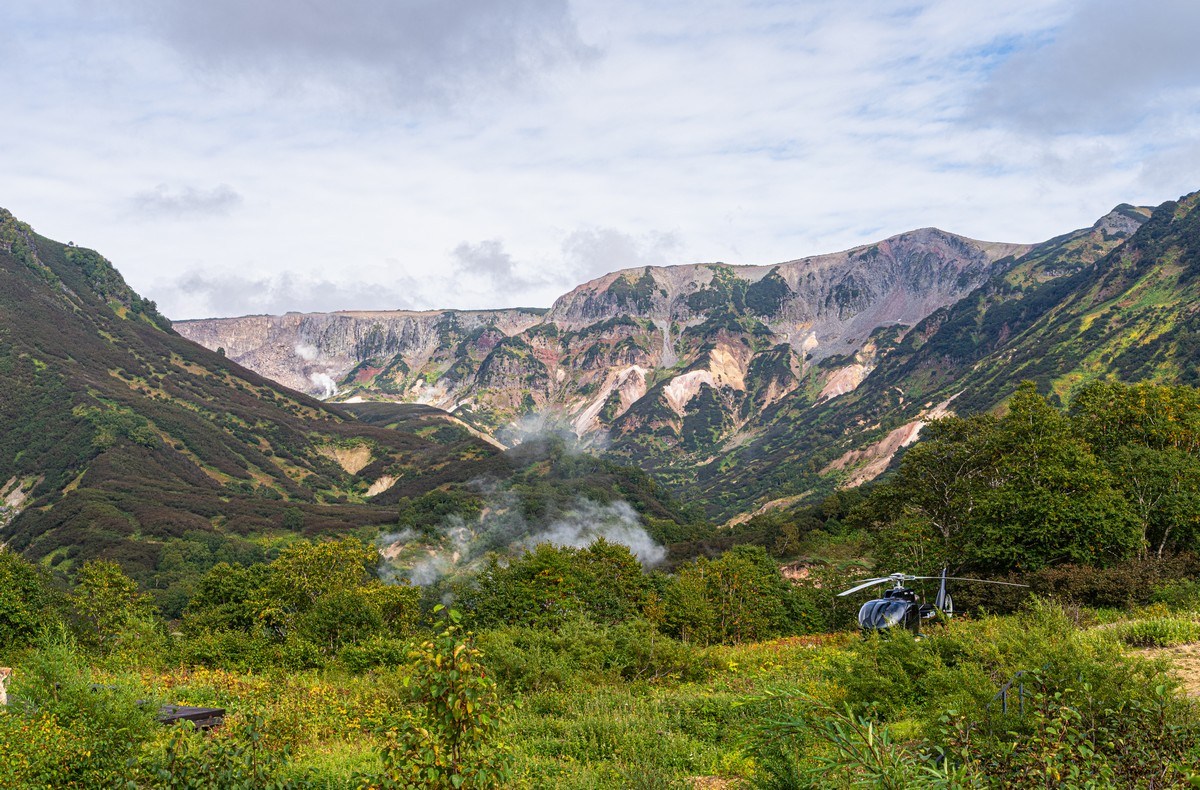
We decide to land go for a walk:

After our stretch of the legs, up we go again and first fly past Dzenzursky volcano ->
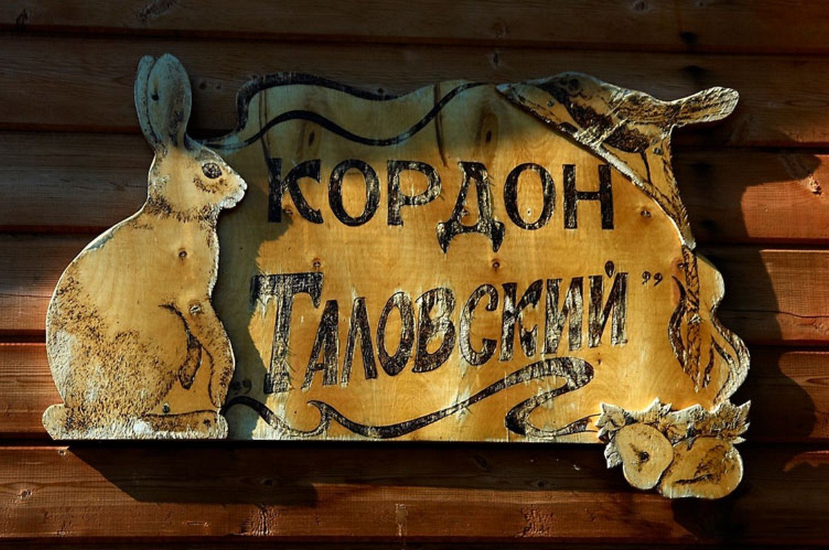
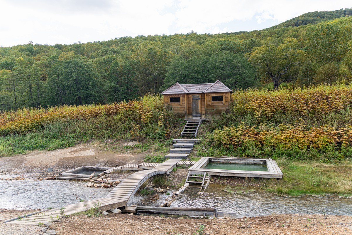
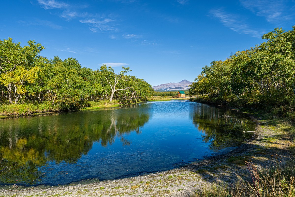
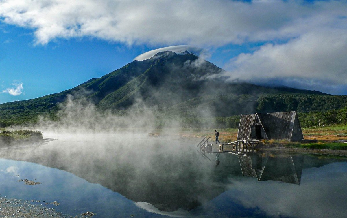
Next, we land at Talovka ranger station in Nalychevo Nature Park and take a dip in the hot springs. I came over all nostalgic as this is the spot my Kamchatka travels began waaaay back in 2006…
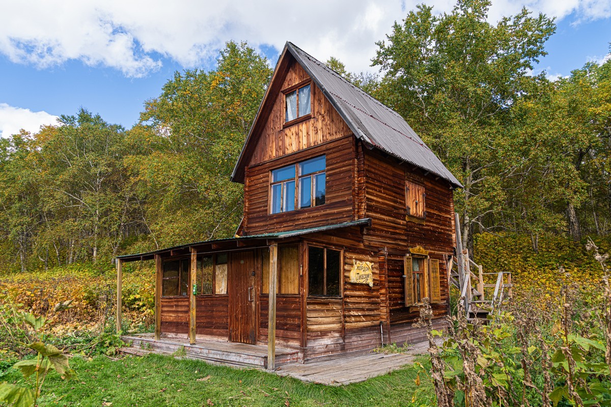
In 20 years Kamchatka overall has become much more developed. Here, however, not a single thing has changed!…
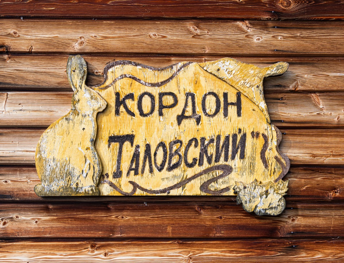
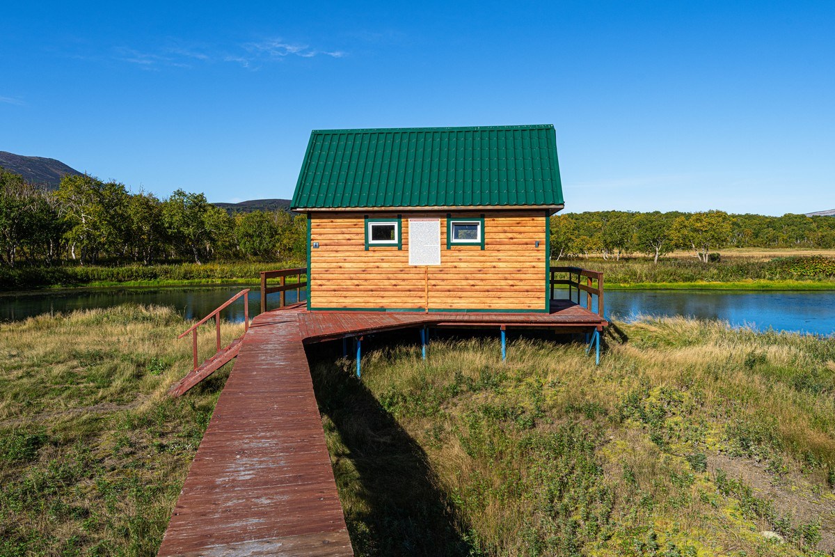
Here’s a shot of the same sign in 2006! ->
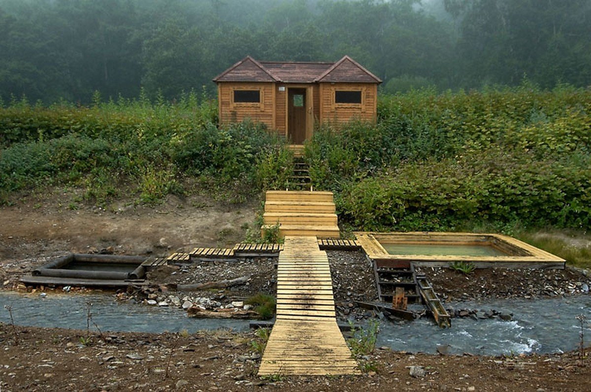
The hot springs look exactly the same as the first time:
And in 2006 ->
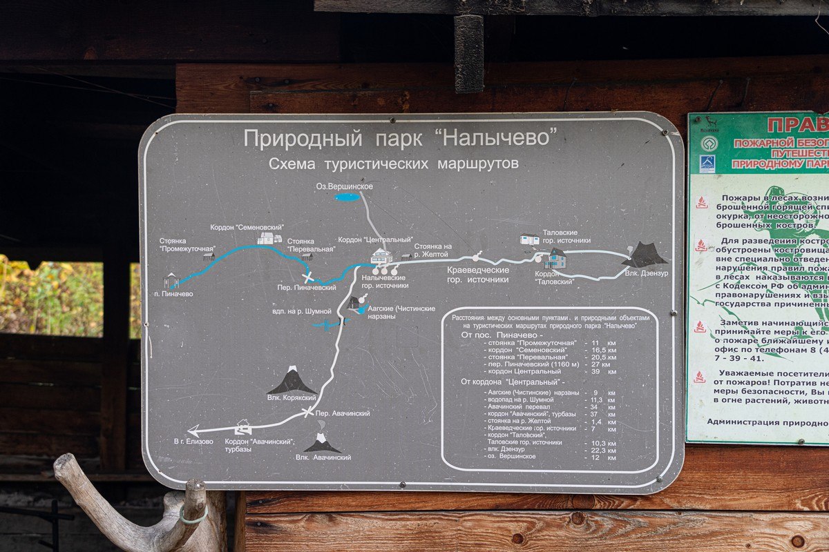
But springs run just fine without investment :). By the way, the hiking routes around Nalychevo Park are one of the most budget-friendly Kamchatka activities. Budget won’t stretch to a chopper? Come here first (it’s not far from where you’d fly in to – Petropavlovsk-Kamchatsky).
Here are Kamchatka’s home volcanoes, which you can see from Petropavlovsk‑Kamchatsky (in good weather): Koryakskaya Sopka (from the summit of Avachinsky):
Avachinsky volcano:
Kozyolsky volcano:
The three “home volcanoes”:
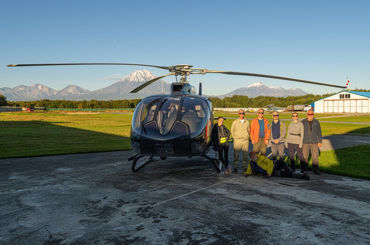
I forgot to add that this was our last day of travels around Kamchatka‑2025. But the weather that day was just magnificent, so we fitted as much aerial sightseeing in as possible – and all on a single tank of fuel.
Next up, another perfectly shaped volcano – Vilyuchik.
The view from the south side:
The summit of the volcano is really rough and broken up; all the same, apparently various hardcore hikers still climb up there ->
Far in the background you can see Petropavlovsk‑Kamchatsky, Avacha Bay, and the “home volcanoes” ->
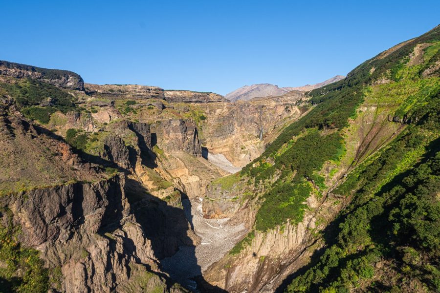
A bit further south – three gorgeous structures: the Mutnovsky and Gorely volcanoes, and the Opasny Canyon. Let’s start with the canyon.
Here’s Opasny, which means dangerous in English:
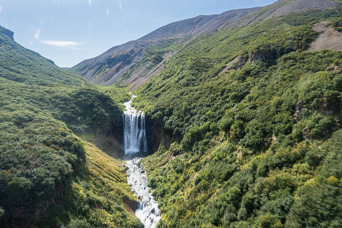
The entrance to the canyon. Lots of side waterfalls along the way:
Gradually the riverbed is squeezed tighter and tighter by steep banks…
Opasny’s waterfall:
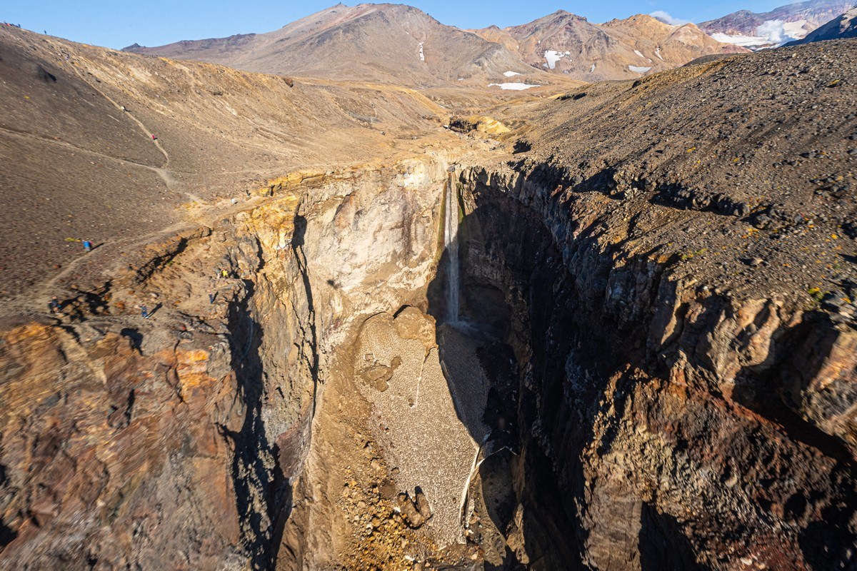
We fly up above the crater of Mutnovsky volcano (aka Mutnovka or Mutnovskaya Sopka). You used to be able to walk through this canyon right into the heart of the volcano and spend a splendid day there. Unfortunately, a few years ago there was a landslide here. It blocked the passage and dammed the stream, and as a result an intra‑crater lake formed for a while, whose water badly damaged the landscapes that tourists used to be guided through. It became dangerous to walk there – the risk of new landslides is too high. So, unfortunately, the main crater of Mutnovsky volcano has been closed to hikers for several years now. The traces of the landslide are clearly visible in this photo – from the mid-left down toward the center:
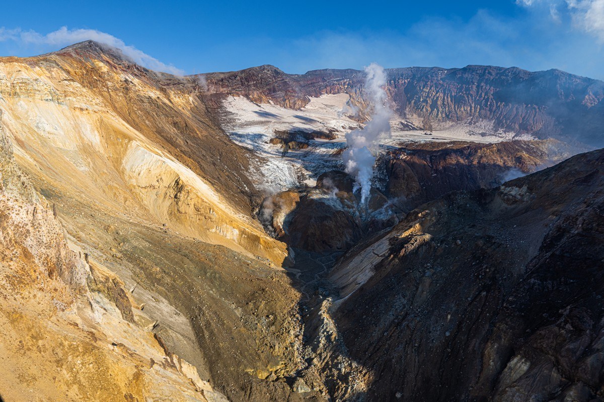
These days you can only see Mutnovka’s gorgeous views from the air. Fumaroles, glaciers, mud pots… – yes, a very active volcano:
The haze isn’t glare on the window. It’s full‑on stinky volcanic gas belching from an active side vent:
This is how it looks from above now:
Anyone who’s curious what the views from inside used to be like – here you go:
Mutnovka‑2010 (pre-English blog)
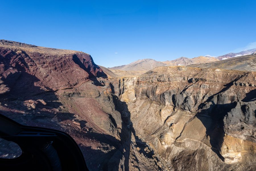
Right next to Mutnovka is Gorely volcano, about 12km “from main crater to main crater”. It’s also quite a sprawling structure: on top there are several large craters and a few dozen “mini‑craters” on the volcano’s slopes:
In one of the main craters there’s a colorful lake. There used to be a turquoise lake in the second crater too, but sadly it dried up:
Still, the views are stunning. One of the main craters and Mutnovskaya Sopka in the background:
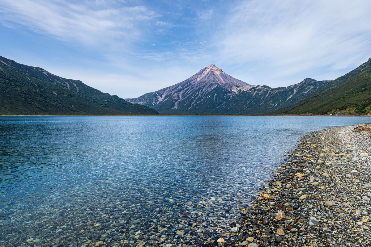
Next – Khodutka. That’s both the name of the volcano and the hot springs, which firmly hold first place in my personal ranking of hot‑bathing spas of the world.
First – the volcano. Its structure and shape are complex, since it wasn’t built in one go but formed out of several different volcanic edifices:
There are two main cones – Khodutka itself (the higher one) and Priomysh:
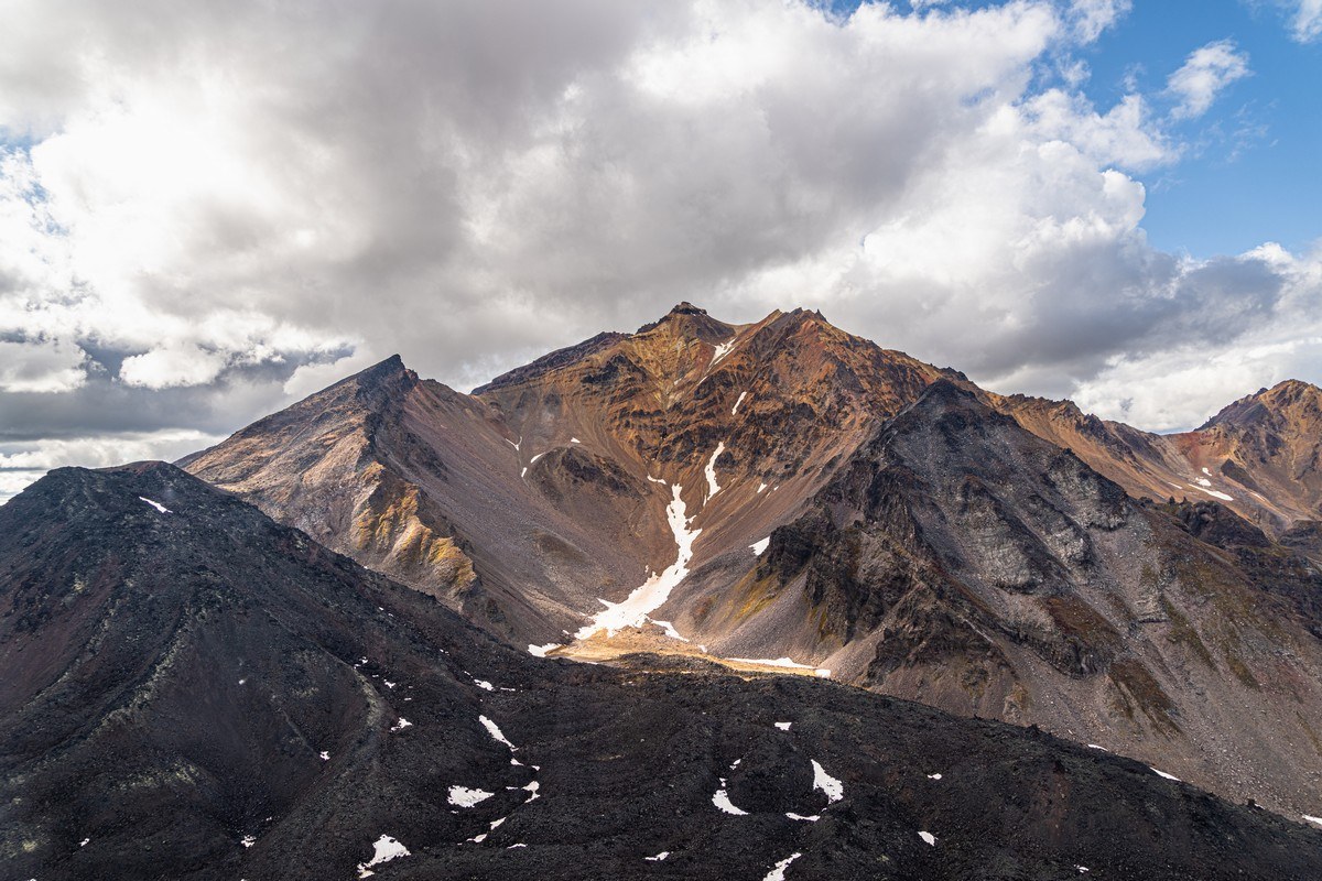
The summit of Khodutka. Brutal, colorful, unique! ->
The Khodutka hot springs are made up of a hot lake about 800 meters long, 20 to 60 meters wide, and up to three meters deep. Unfortunately, in September it gets shallower and hotter, and swimming in the main bathing zone is simply beyond the pain threshold – the water heats up above 45°C, which is just unbearable.
But in summer a passing tourist can swim here. A new changing hut has been built for that:
However, to me, the hut feels kind of soulless. They just stuck in a new shed there and that’s it. Whereas years ago there was a more atmospheric structure that was nicer to the more discerning eye:
Or am I just starting to grumble over nothing?
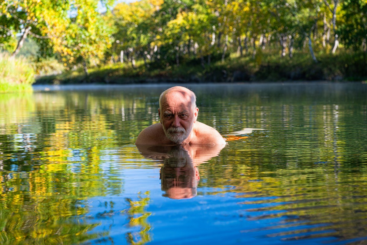
Anyway, the water is pleasant but too hot. So we go to bathe closer to the lake’s source. It’s not as deep there, but the water has time to cool and becomes quite acceptable for long, comfortable spa‑thermophile sessions. Petrovich fully agrees: “Wow, this is good!”
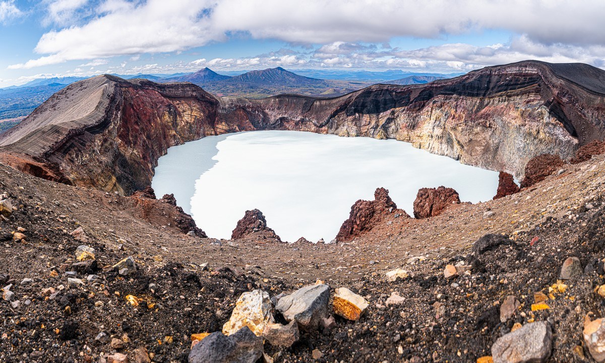
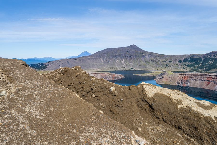
The southernmost spot of Kamchatka that we managed to reach in one day and on one tank is Ksudach. It’s an extremely complex natural‑architectural‑design construction you want to look at again and again. A huge volcanic caldera, inside which a new young cone popped up (during the 1907 eruption), plus two lakes and various other landscape oddities:
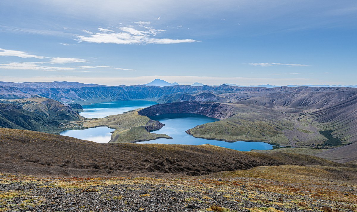
The view from the summit of the inner crater:
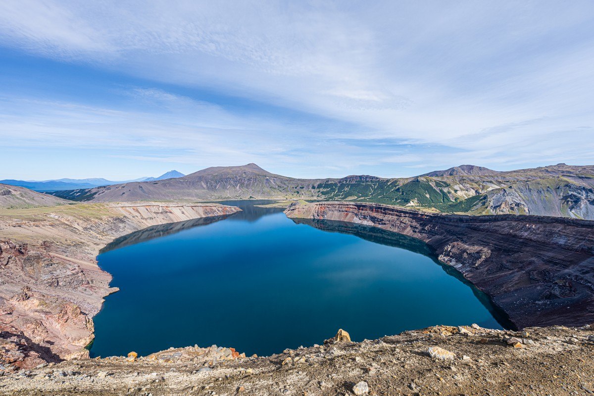
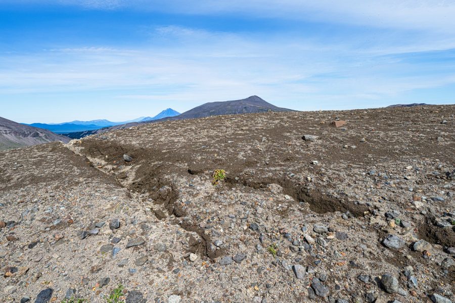
Wow. There’ve been some serious changes here after the July earthquake. The crater rim has started to crack. Chunks of rock have begun to detach and are getting ready to collapse into the crater. It’s going to be a fascinating sight. The main thing is not to end up standing on those very pieces as they slide down ->
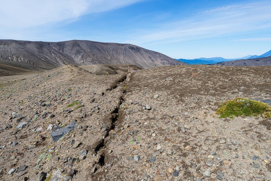
On the way to Klyuchevskoye Lake you can see fresh rockfalls caused by the earthquake:
Woah! ->
There’s also a hot beach here – see my old stories: 2024, 2021, 2015, 2012.
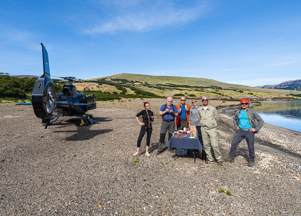
This was our very last Kamchatka day. We enjoyed the views, felt yet another earthquake (an aftershock after the big Kamchatka quake of July 30, 2025), took a dip in the lake (a must), recalled old stories and adventures, had lunch, and got almost all of us into the group photo together:
Then we got shaken up a bit – literally. Pay attention to the last frames of the video:
And back we go to Petropavlovsk-Kamchatsky. On the way ->
We made it back to base. And of course – the obligatory farewell photo ->
“That’s it. But, oh it was good: Zen-good!” – Petrovich.
And we already want to go back. Luckily, the helicopter (even though it’s not budget‑friendly at all) is available and ready to take you [in good weather] wherever your heart desires [if your wallet approves] ->
And that was that. Kamchatka trip – done. Till next time, that is!…
The best photos from Kamchatka-in-the-fall in high resolution are here.

