April 29, 2026
Atacama – pt. 2: Devil’s Throat.
(Atacama – pt. 1: Rainbow Valley and petroglyphs)
The Atacama Desert is all about multicolored mountain landscapes, vast lifeless expanses, and volcanoes lining the horizon. In this post, there’s more of all that – especially the multicolored mountain landscapes bit – but with a difference; where? Devil’s Throat, or in Spanish – Garganta del Diablo!…
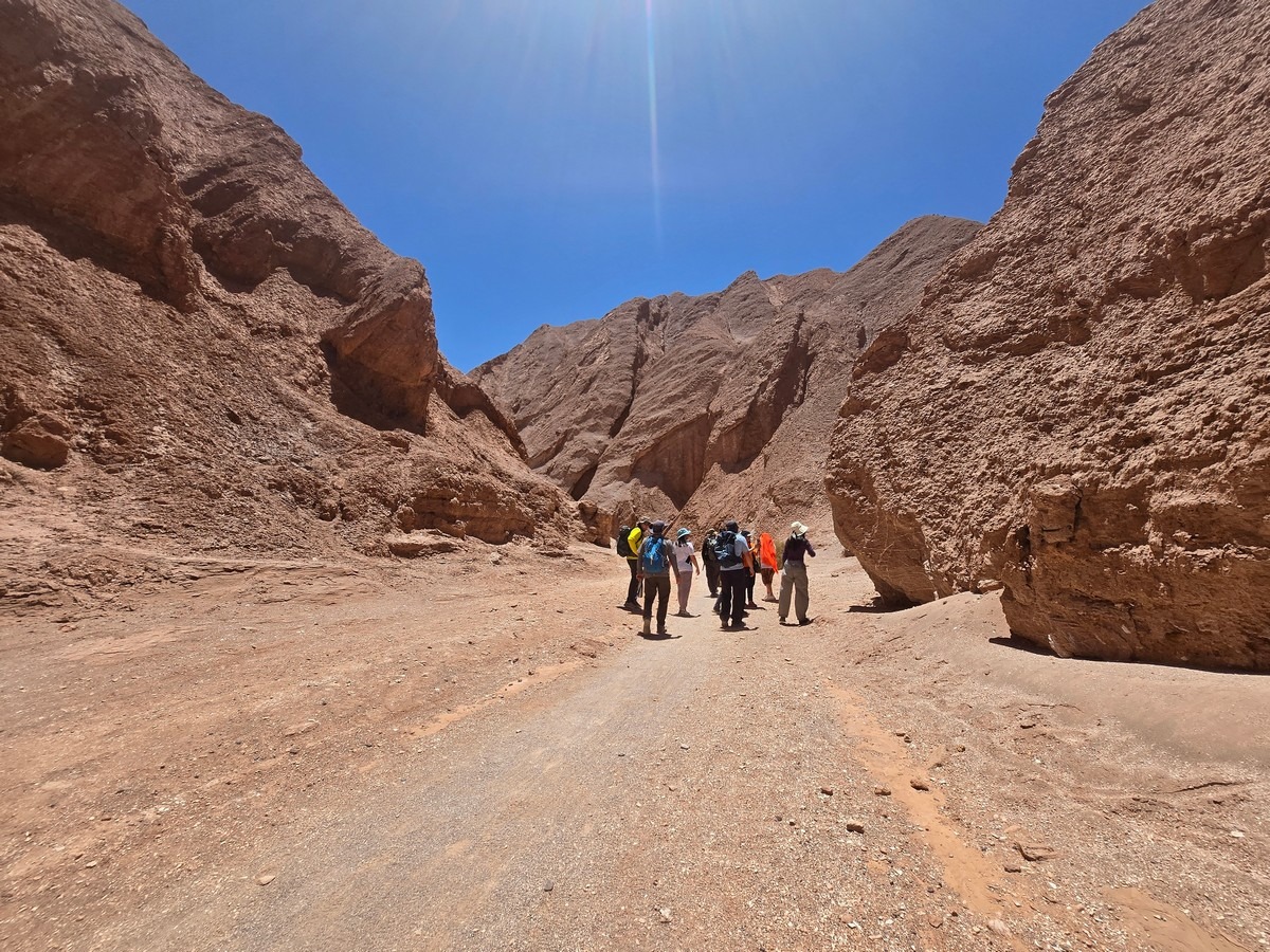
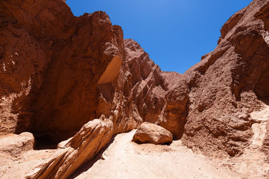
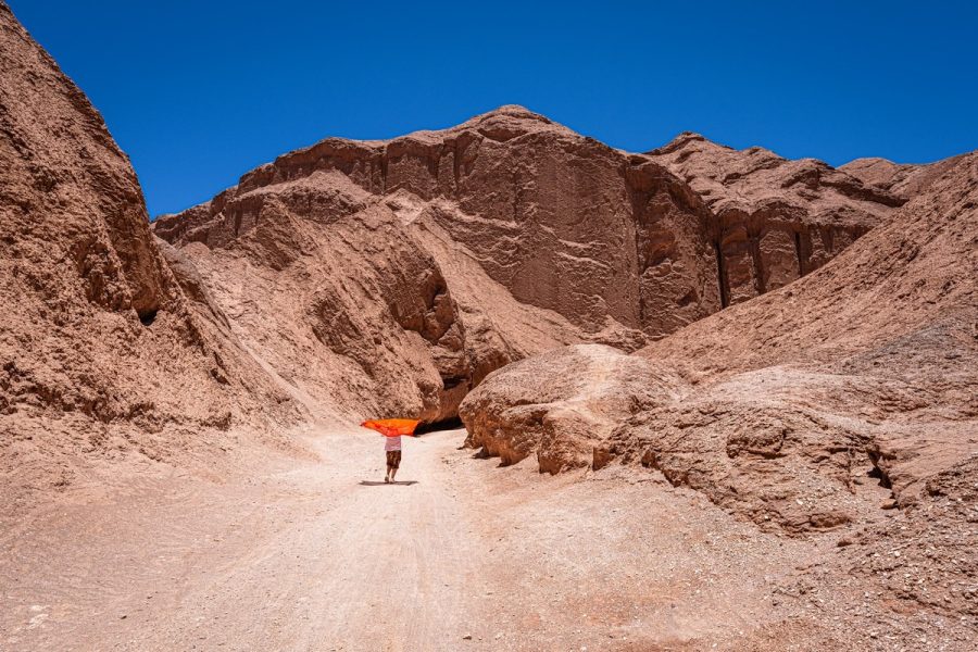
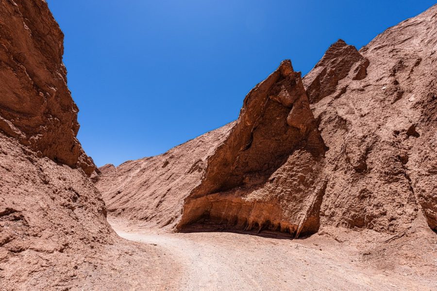
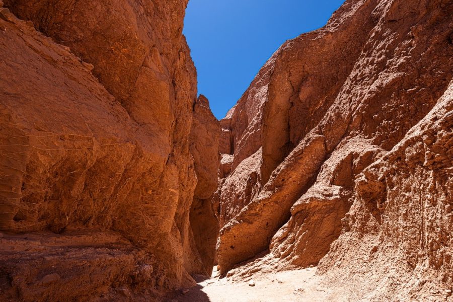
Devil’s Throat is a narrow canyon carved into relatively soft rock by water. It winds left and right, sometimes doubling back on itself before twisting again. At some sharp bends, the rock has eroded into overhangs – almost like little grottoes. The trail along it is about 2.5–3km one way, so with photo stops and breaks, it’s roughly an hour-and-a-half to two-hour walk. Most people do it by bike, but we decided to hoof it.
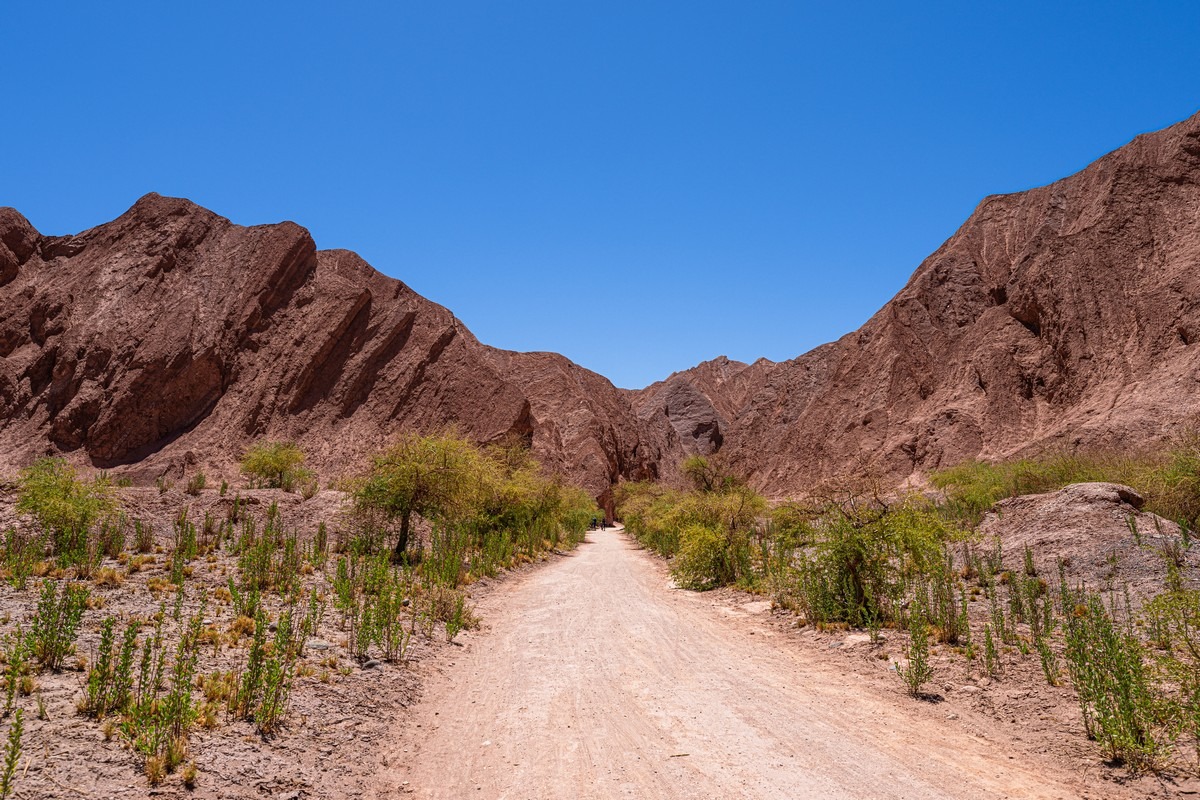
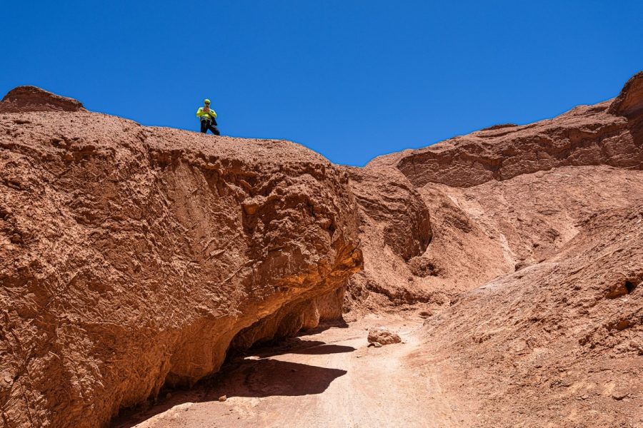
Here’s where we’re headed ->
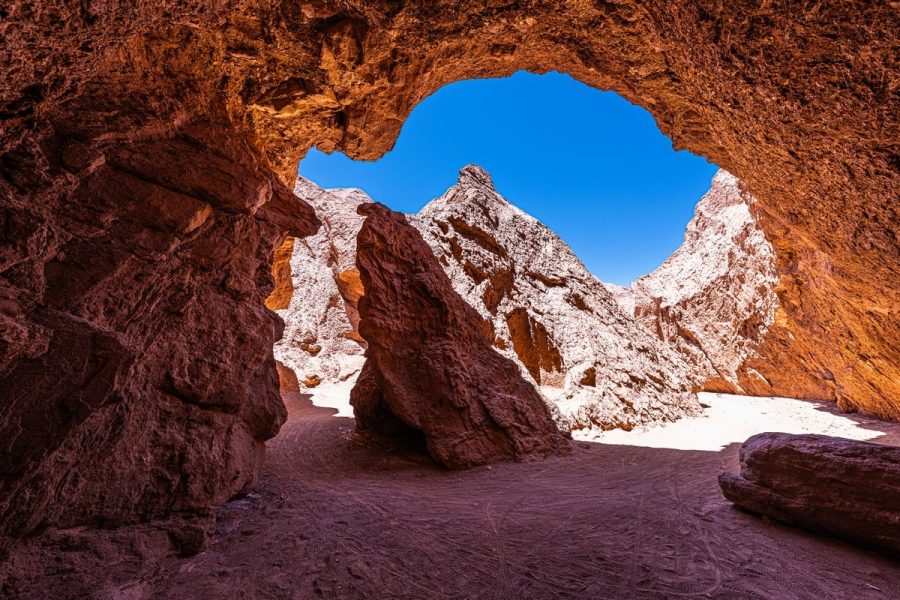
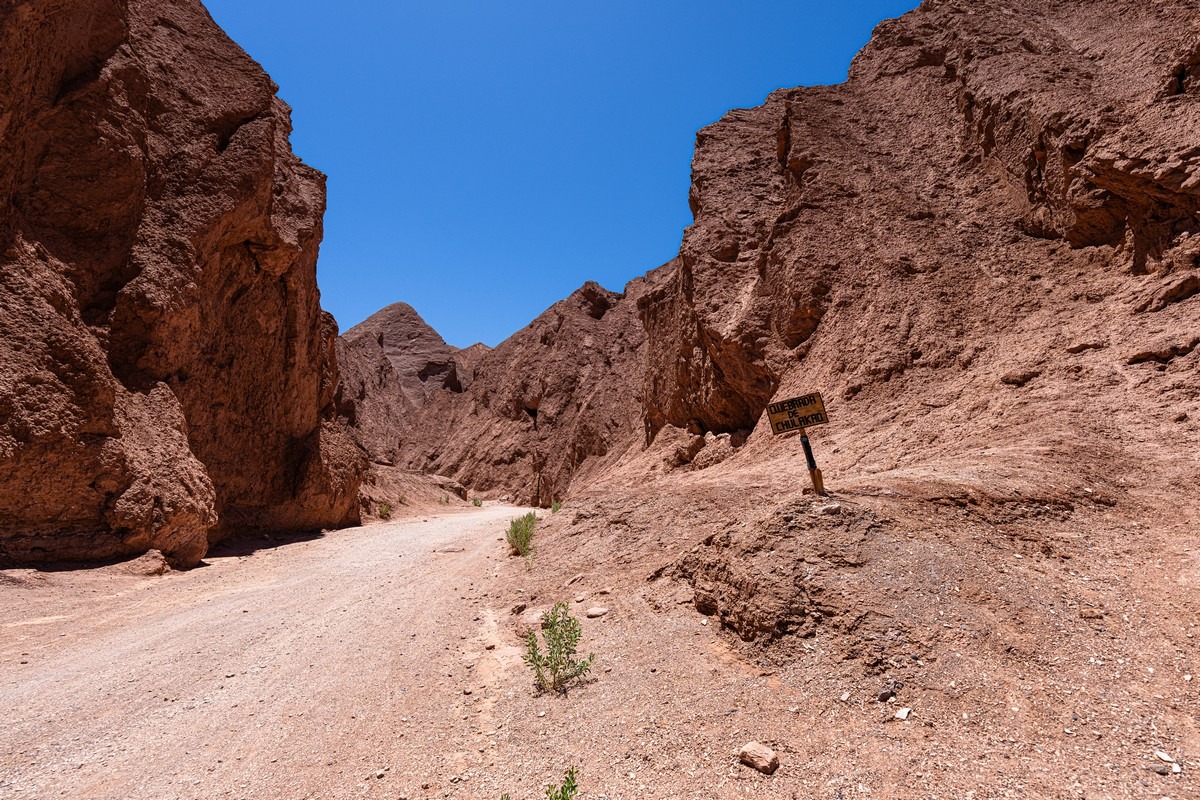
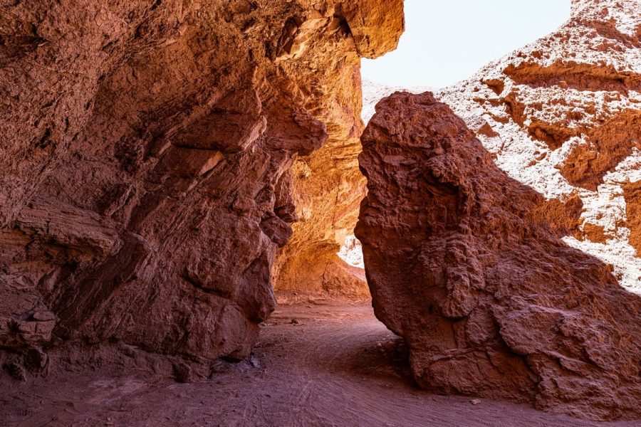
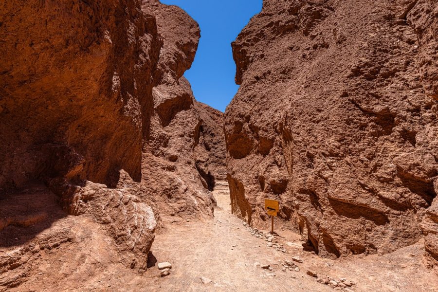
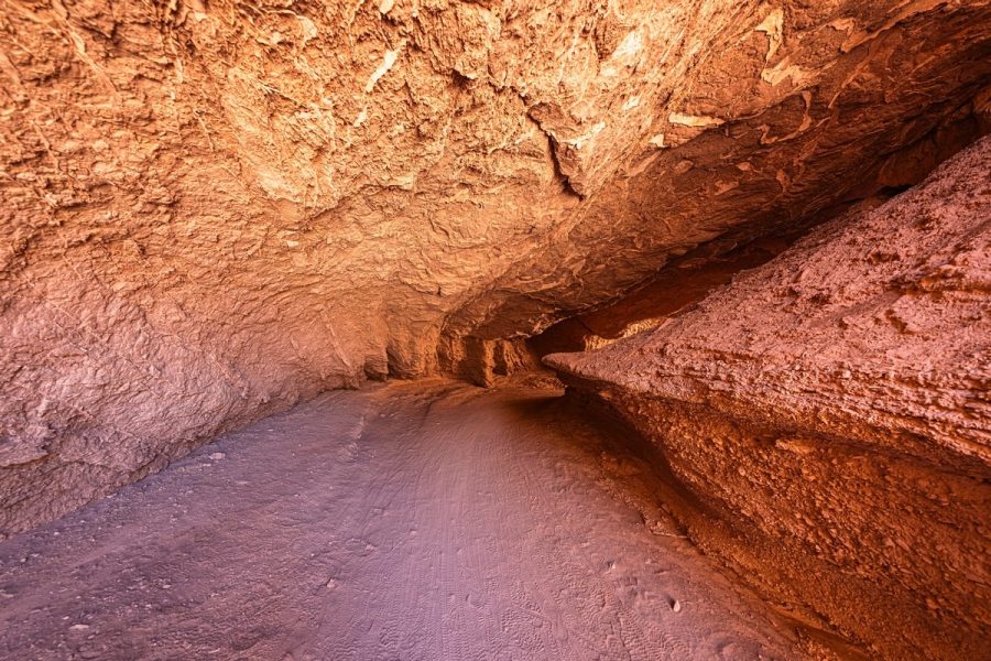
Entering the Throat! ->
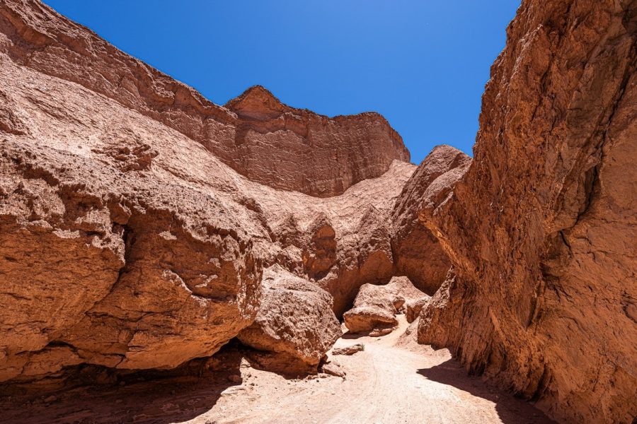
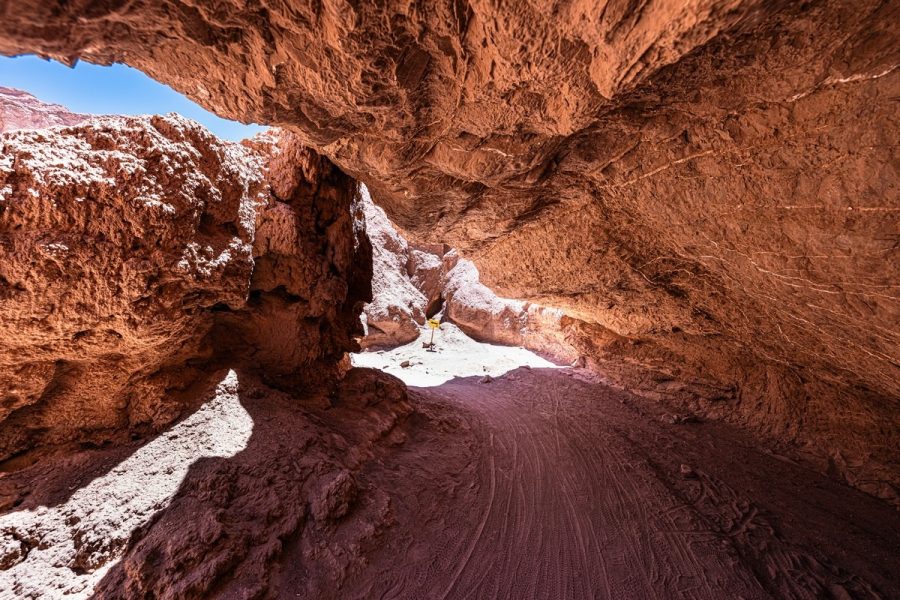
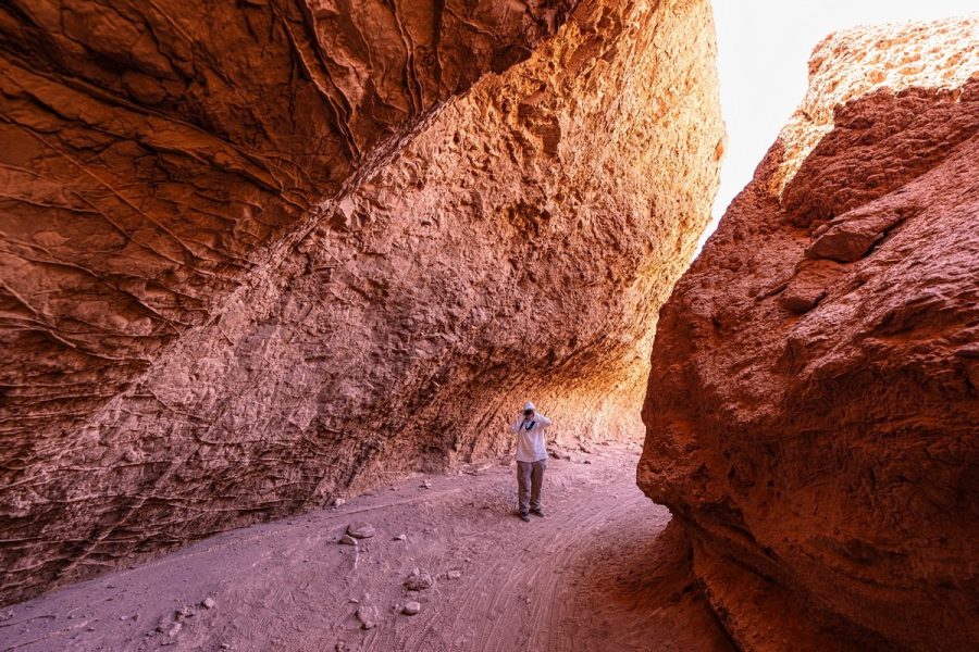
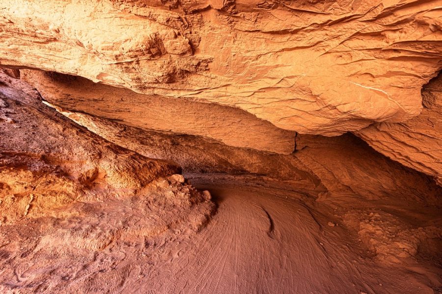
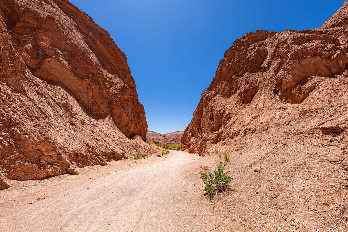
And then along this almost-always-dry streambed:
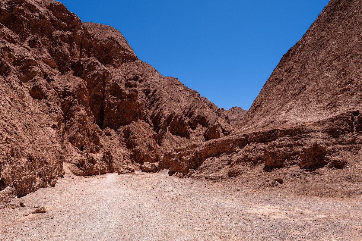
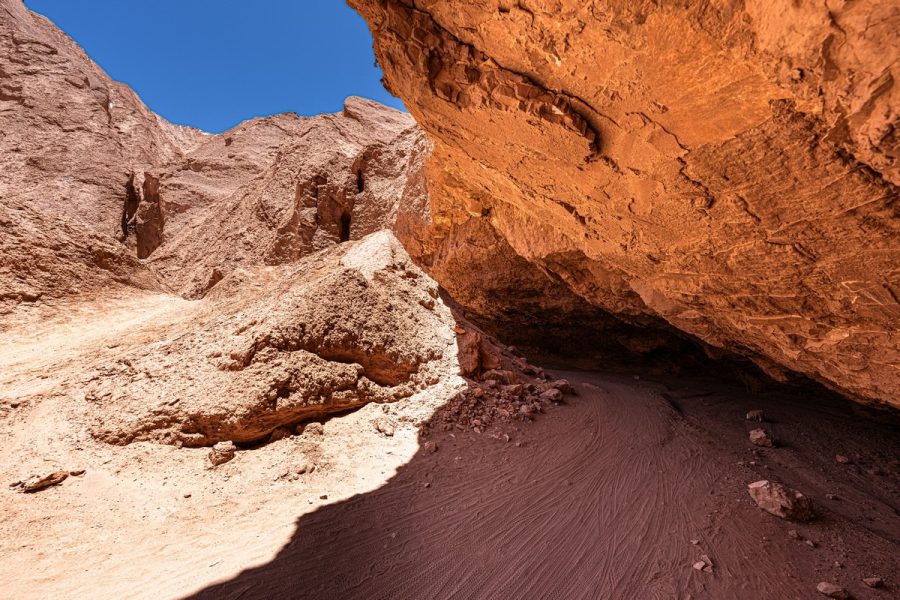
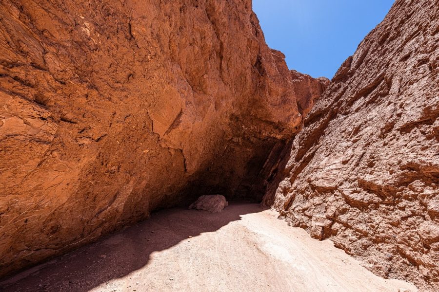
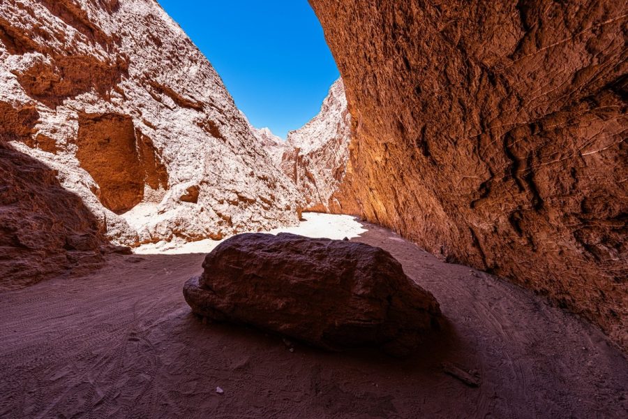
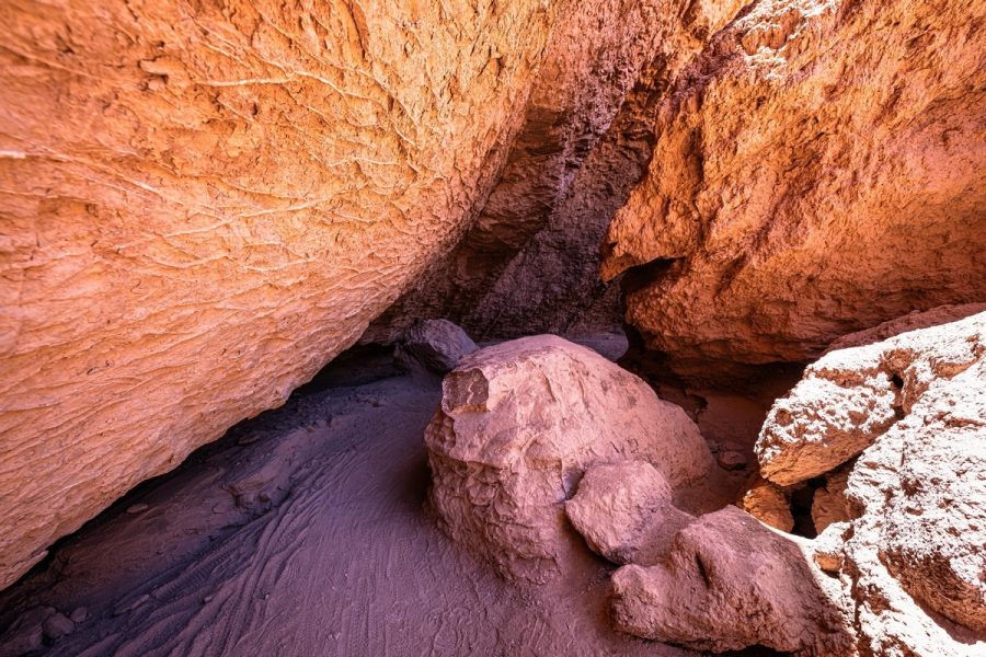
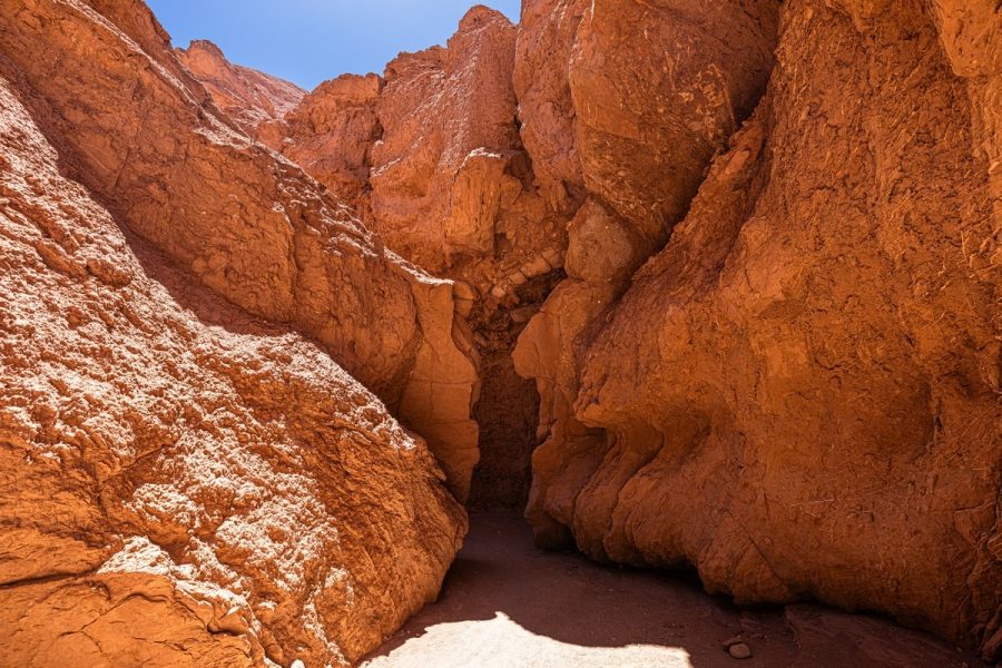
This is how the rocks have been cut through. We didn’t have to squeeze through any super-narrow passages, but in some spots it does get pretty tight:
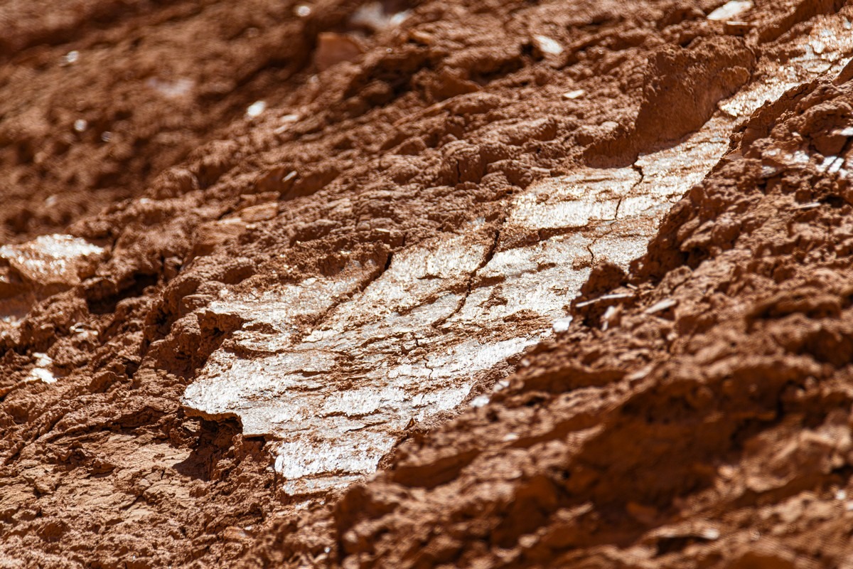
Sometimes the rock has this unusually textured surface:
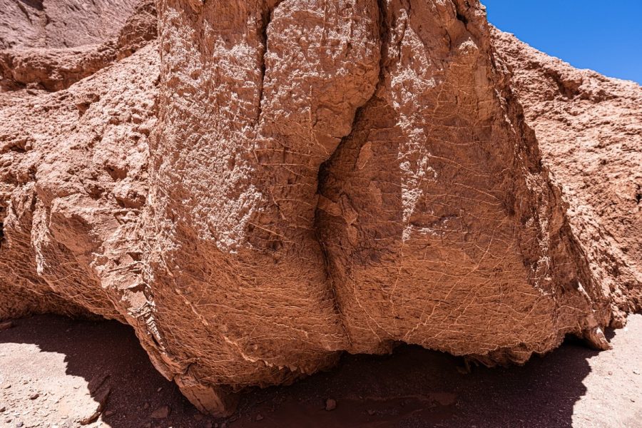
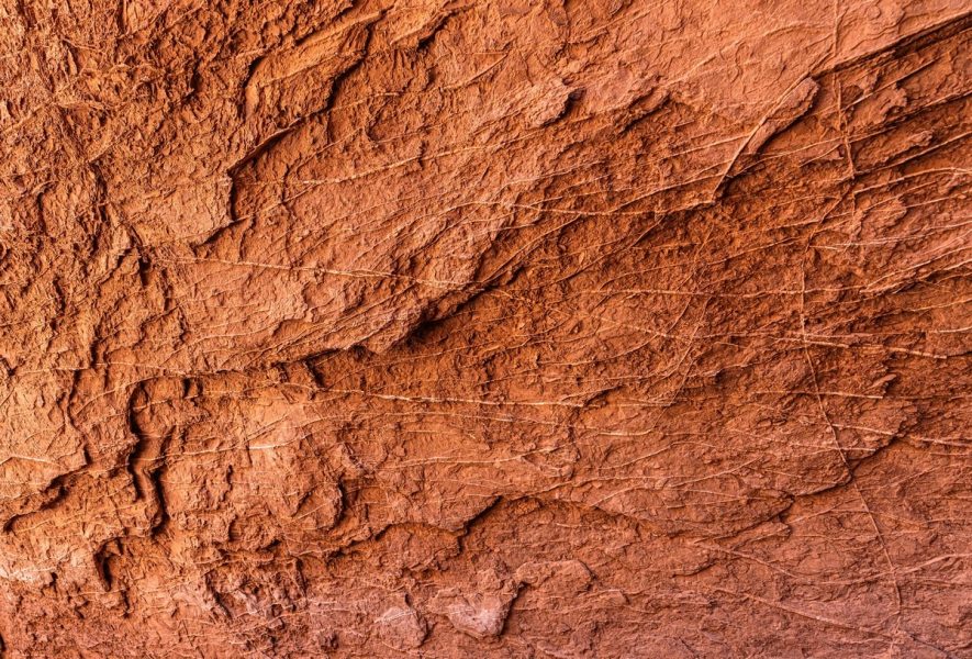
This is gypsum. How it formed here, why, and what physics and chemistry produced it – don’t ask me. No idea – I’m no geologist…
But it’s all very intriguing…
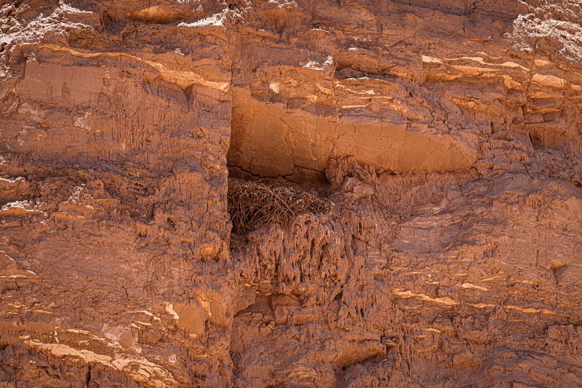
Our eagle-owl-eyed guide pointed out a nest belonging to a resident owl – which was also reddish in color. We never would have spotted it on our own:
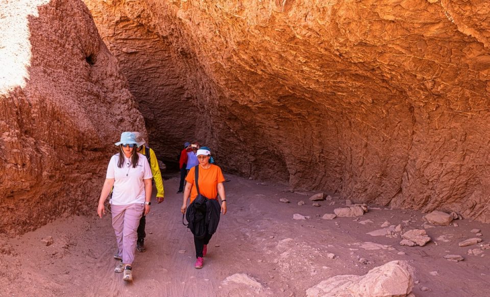
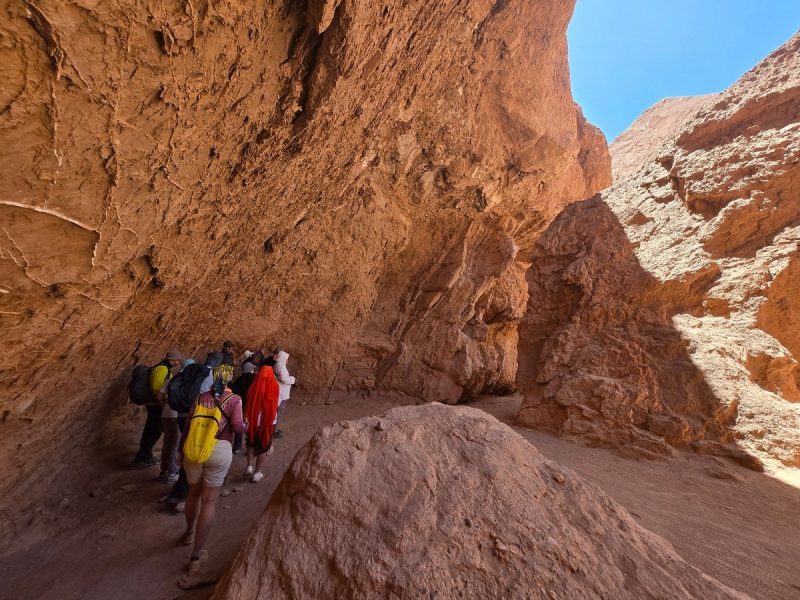
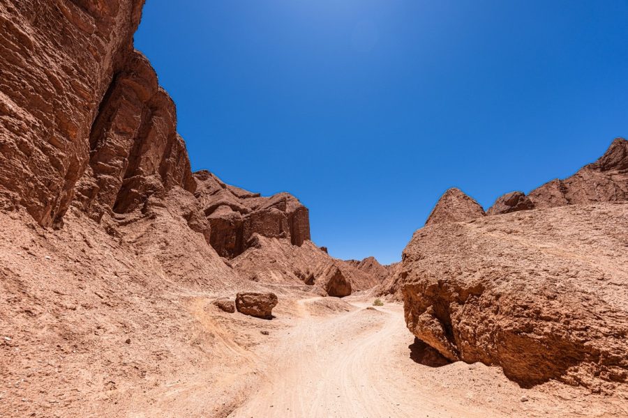
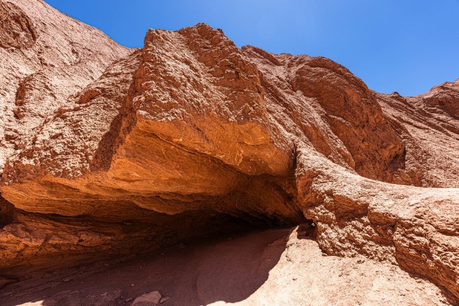
Meanwhile we keep on walking, marveling at the surrounding marvellousness…
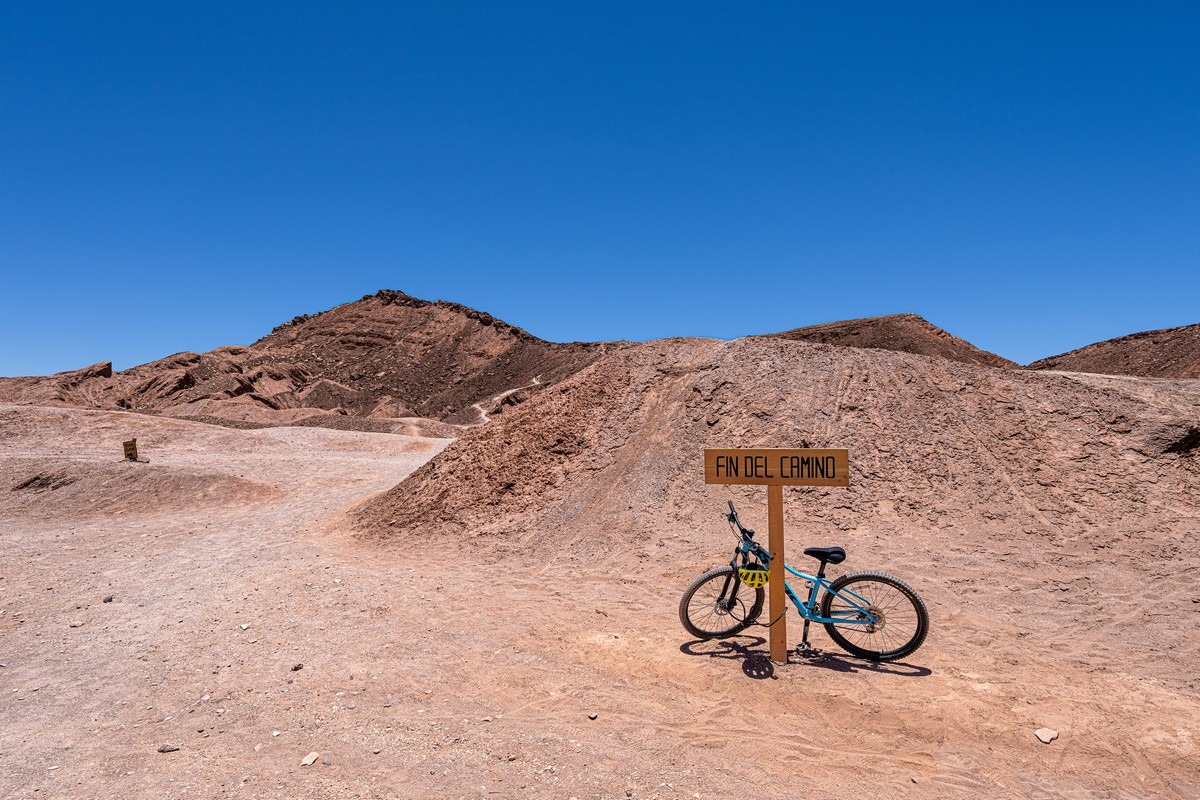
How cyclists manage to ride through here is beyond me.
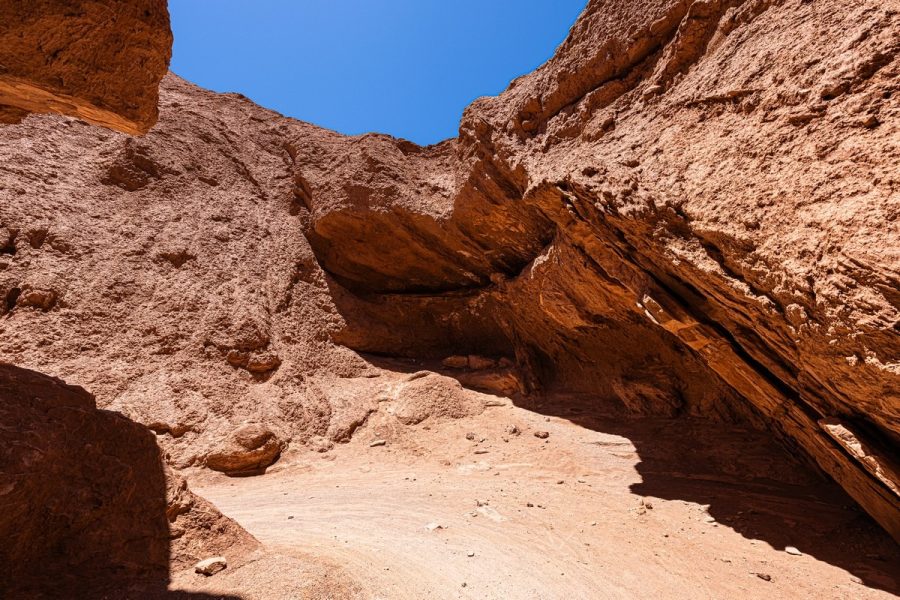
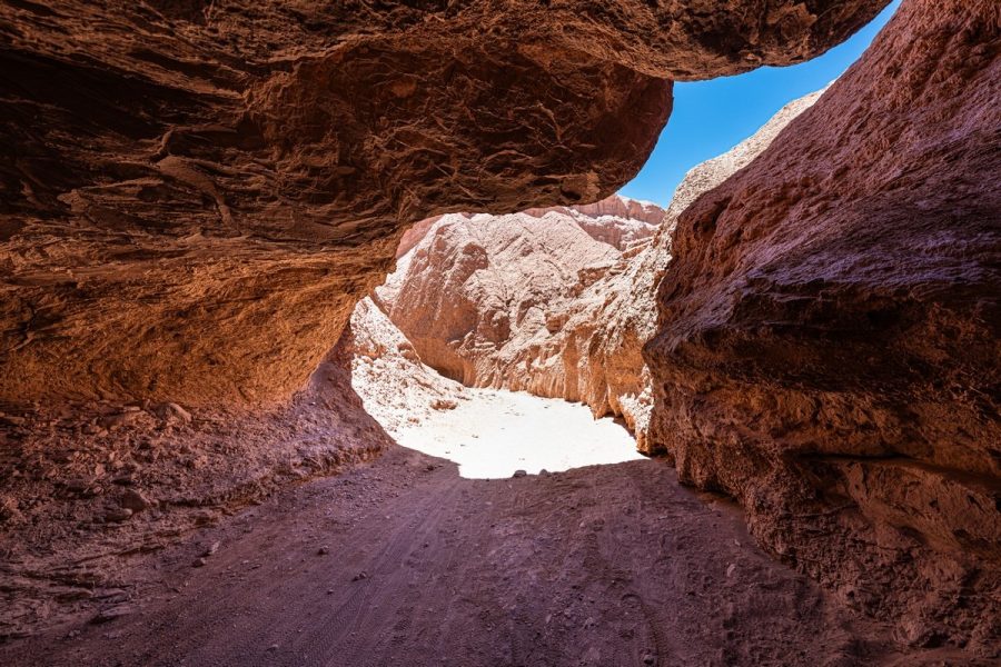
Gradually, the canyon climbs upward and the path widens – the end of the trail is near…
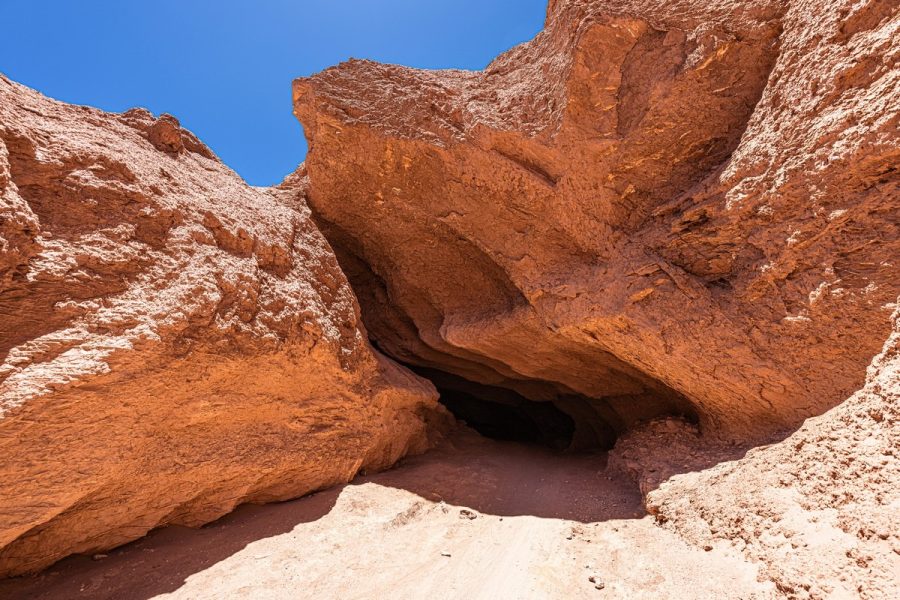
The “end of the path”:
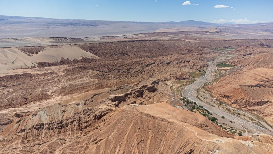
You can climb to the top of a hill here and take in the surroundings from above:
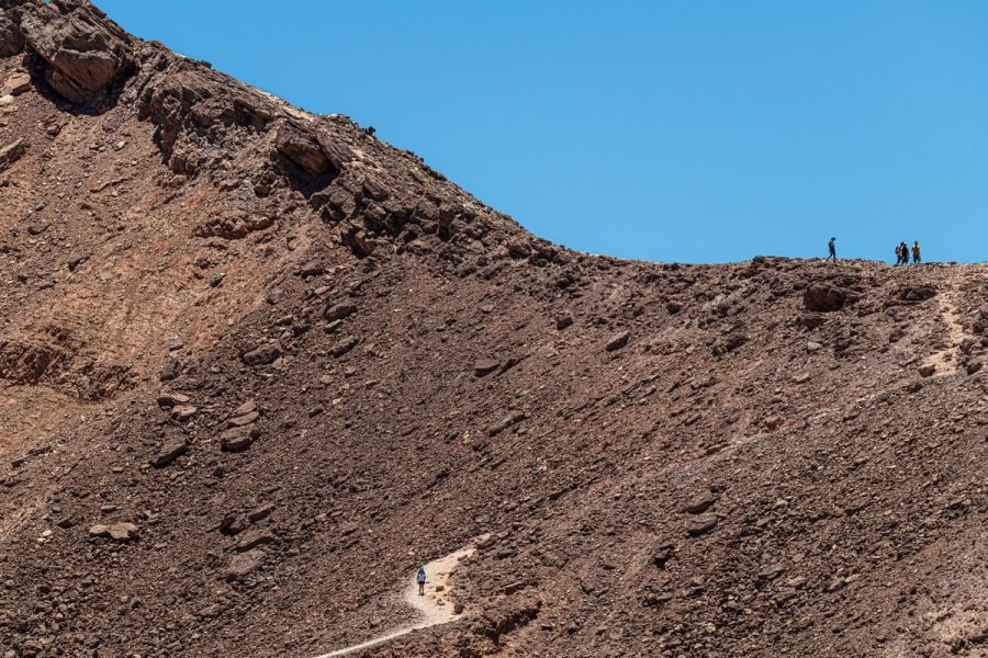
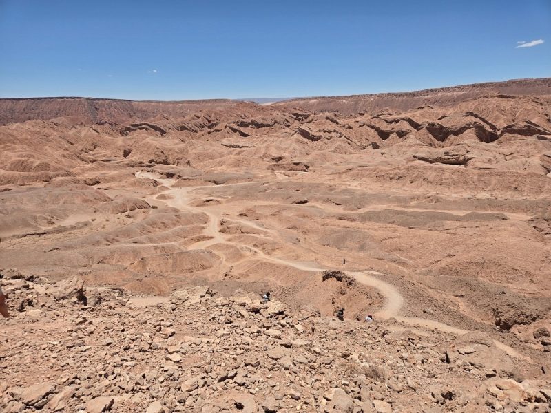
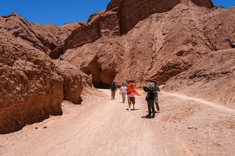
So up we climbed, had a look around, and then it was time to be heading back. The return walk is pretty much the same route, just with views of the rocks being from different angles:

And that was that; we were back at the… fauces ) ->
A wonderful little hike. But it gets real hot. Bring plenty of water, a wide-brimmed hat (a sombrero – perfect!), and sunscreen.
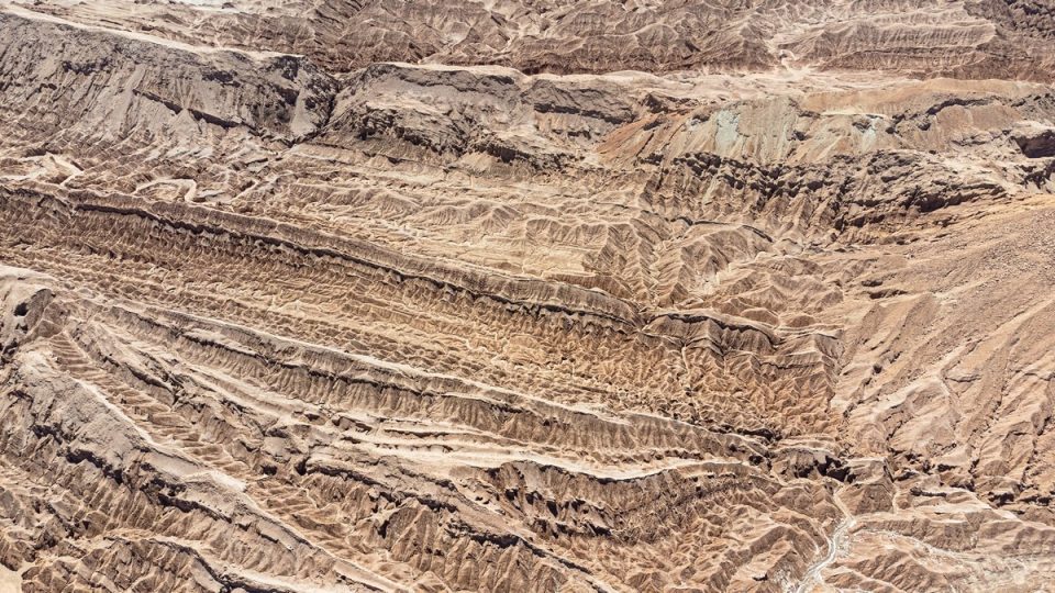
To wrap things up – a couple of drone shots. For some reason, flying drones along the valleys is prohibited (no idea why), so we had to drive out a bit and fly from a distance:
Next up – the Valley of Death; but I’ll save that for the next post in my LatAm-2026 series…
The best hi-res photos from our Latin America trip early this year are here.

