Teaser, aperitif, hour d’oeuvres, and just yesterday your side of garlic bread – done. Now for your first main course of China-2024 (and there’ll be several!)…
Quick recap: we visited quite a few places and saw over 20 natural and historical sites of varying levels of significance and beauty – some of which were simply masterpieces. And that’s what I want to talk about in detail. Where should I start? From the beginning! In what order? As it happened: that’s how I’ll recount it. No need (and no desire) to invent new storytelling formats. “I sing what I see,” as the tundra reindeer herder says…
And so…
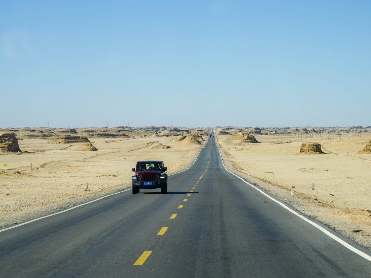
We landed in China (the exact location doesn’t matter), cleared passport and customs control, transferred to another flight (some even managed a swim in the warm sea in Sanya and celebrate a birthday along the way), landed (after plenty of turbulence en route), and arrived at Huanglong Airport – at an altitude of nearly 3500 meters above sea-level.
An interesting airport! Right by the baggage-claim area there are small shops selling warm clothing. Many Chinese, who’ve spent their entire lives in warm, even tropical climates, are completely unprepared for the fact it can get cold in the mountains during the fall. In the same area, a pharmacy sells small oxygen cans to similarly unprepared tourists. Although the altitude isn’t extreme, some people find it difficult to breathe.
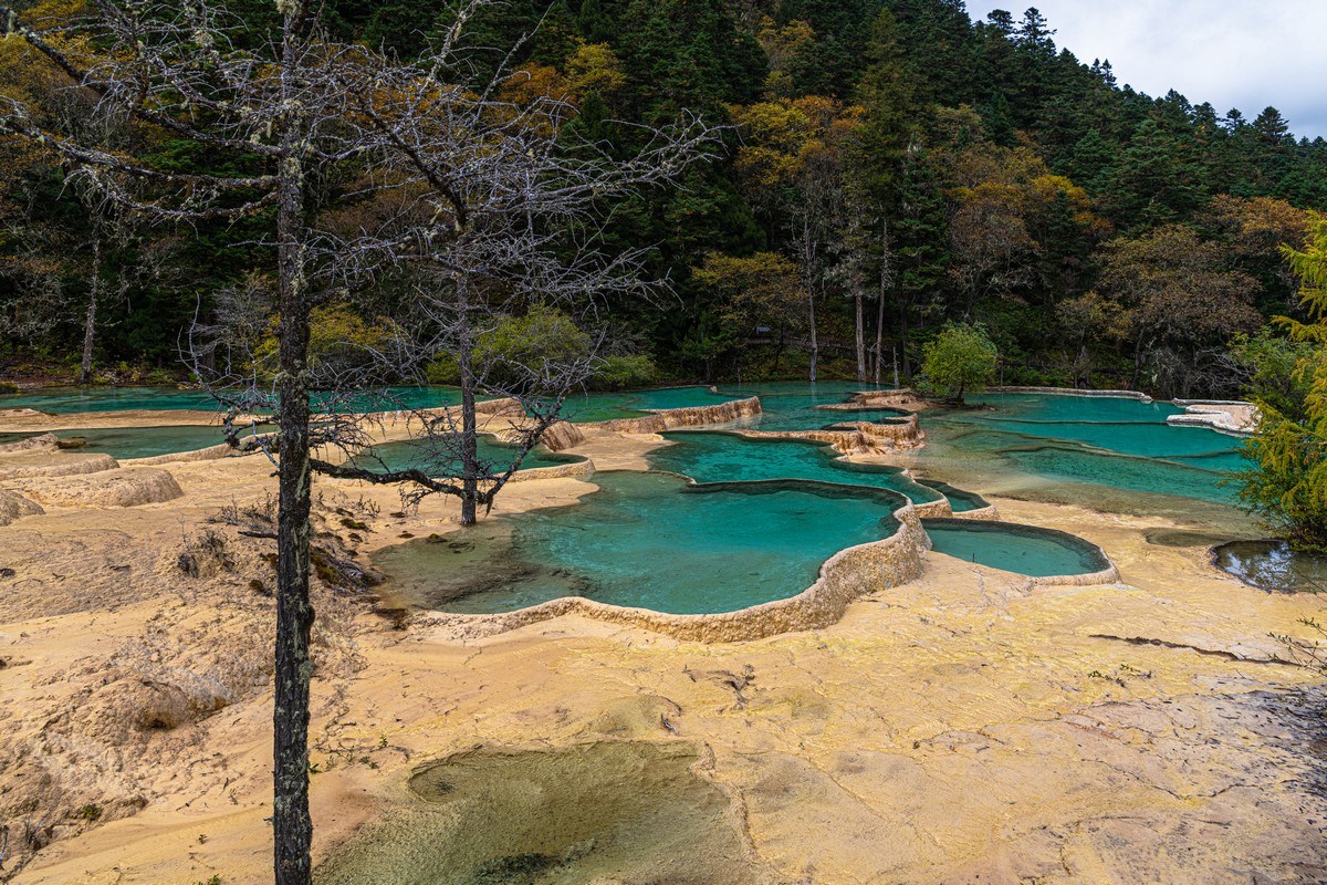
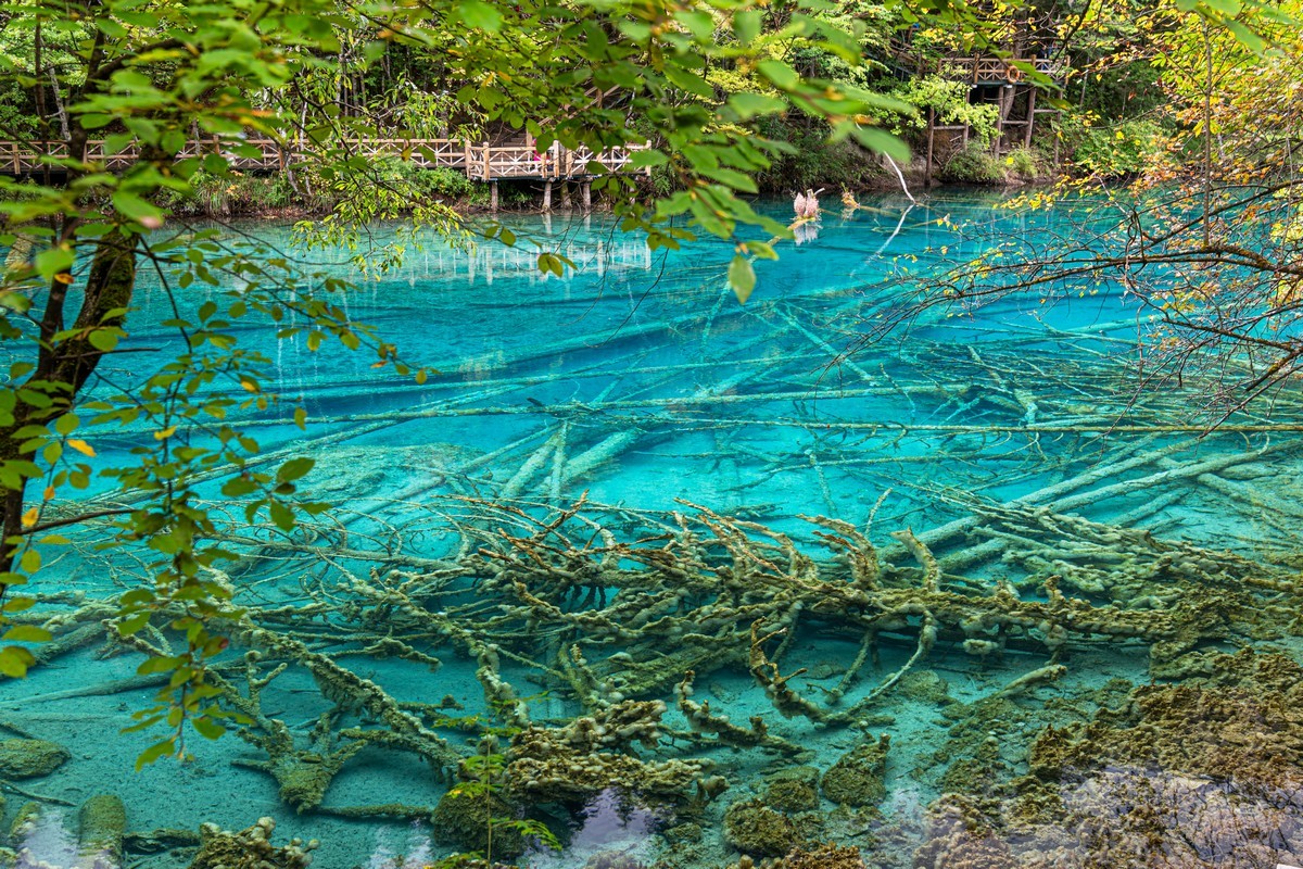
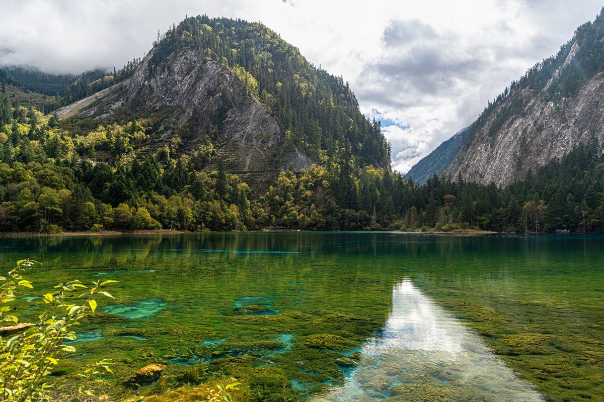
But enough about the details – we’re here to explore, see, and marvel. So off we popped – straight to Jiuzhaigou (the “Jiuzhaigou Valley Scenic and Historic Interest Area”, or just “Jiuzhaigou National Park”), which means “Valley of Nine Villages”. Jiuzhaigou is a mountainous valley where streams and rivers of strikingly beautiful colors flow: a chain of brightly-colored lakes and stunning waterfalls – like this:
Read on…