November 28, 2025
November 26, 2025
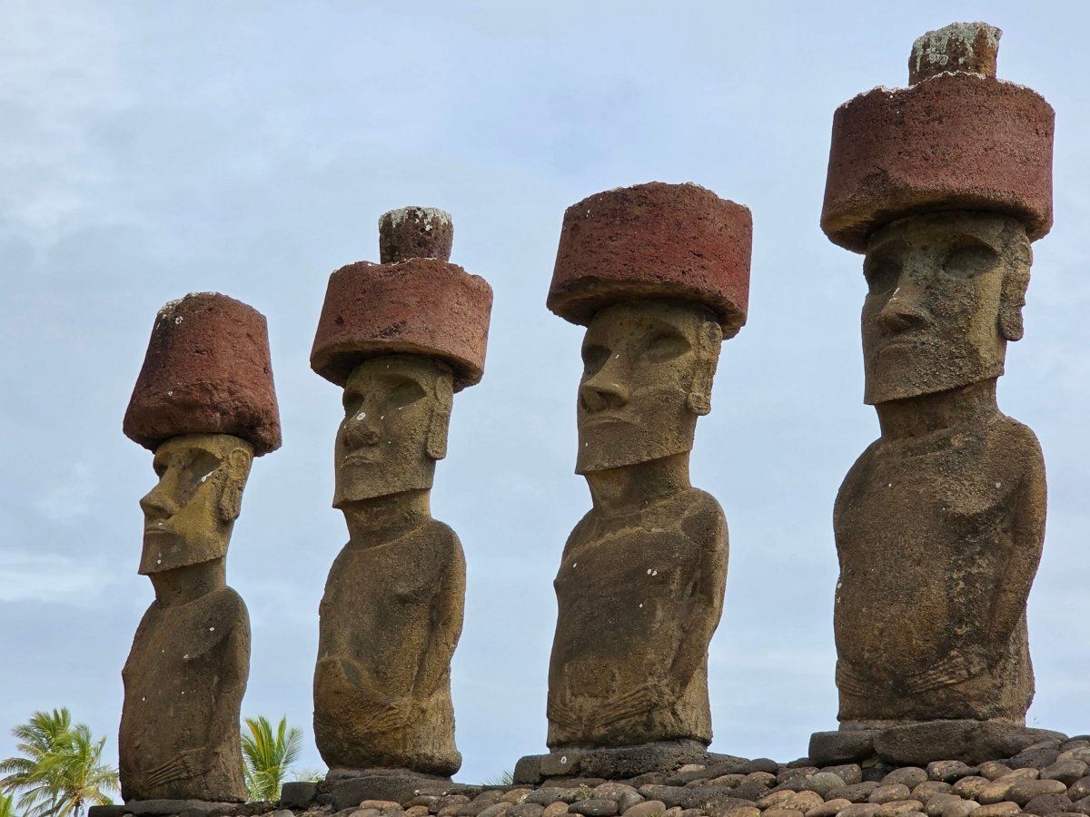
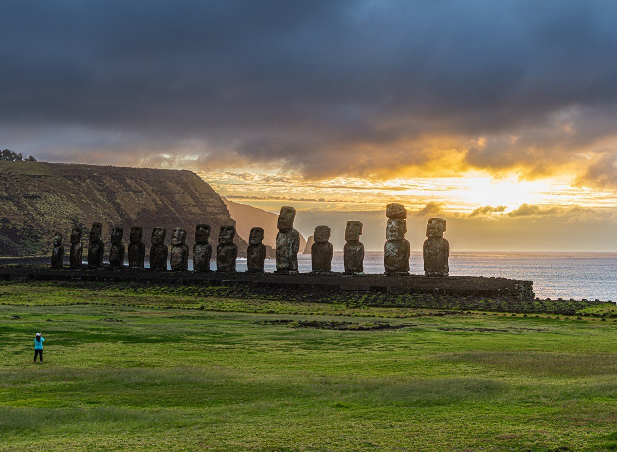
A ritual moai platform at dawn: zero chance of a yawn.
After first checking out the moai quarry, it was time for a stroll amid the landscapes of Rapa Nui (aka Easter Island). Of course, there’s none of the vastness of the Kenyan or Tanzanian savannas, no endless Arctic tundra of Taymyr, no boundless, unforgiving desert of the Sahara, Saudi Arabia, or Australia. Everything on the island is much more modest, but there’s still plenty of wandering about to be done between lunch and dinner.
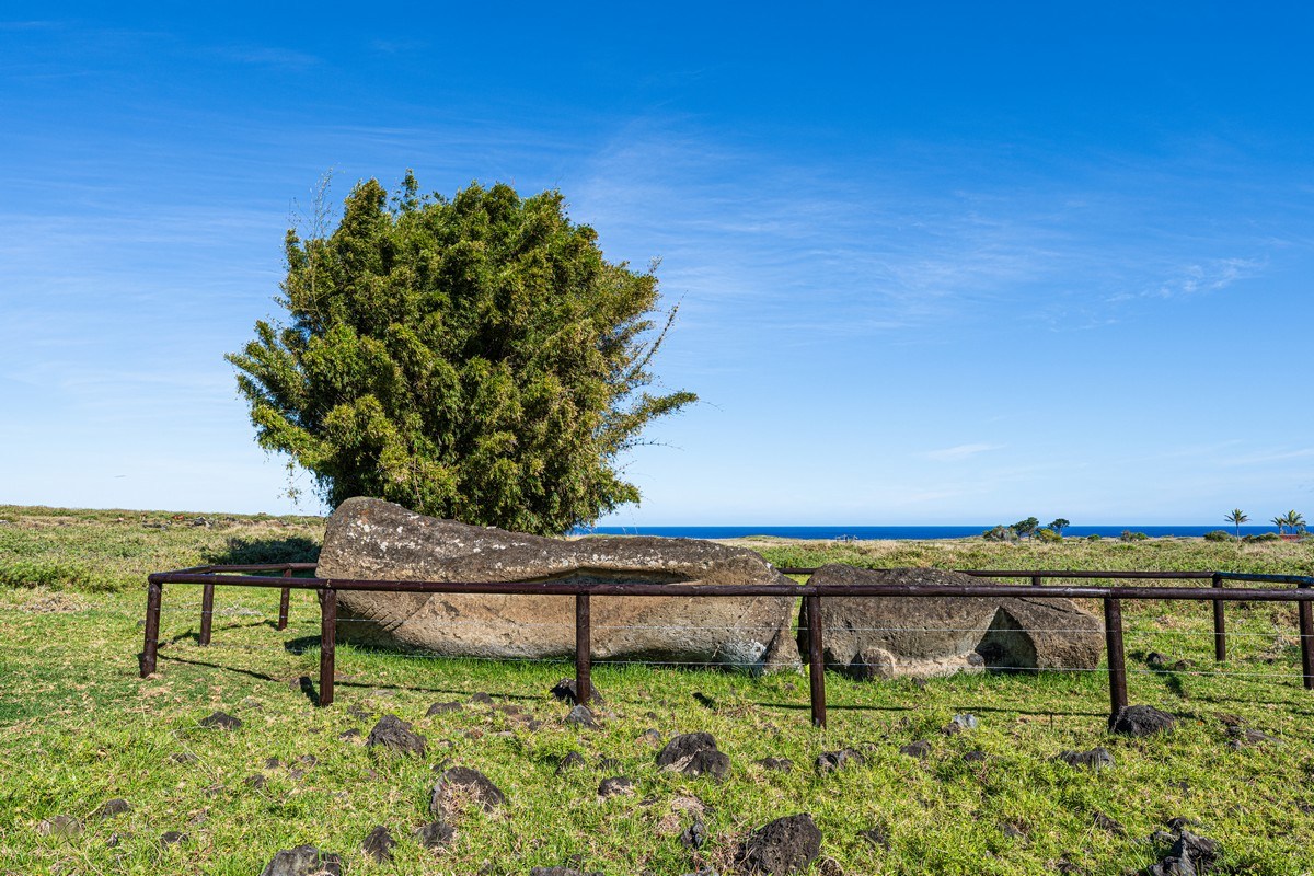
Beginning our roam-stroll, the first thing to attract our attention – a moai statue lying face down! Why, we wondered. Alas – no tourist info-plaques. Still, we’ve the internet these days, but it always gives a thousand conflicting theories. But I digress…
November 25, 2025
Uzon to the Valley of Geysers on foot – autumn 2025 edition.
Kamchatka is full of absolutely magical – even fairytale-like – places. There’s the Klyuchevsky volcano group, and Tolbachik and its surroundings; in the south there’s Ksudach, Kurile Lake, and the Kambalny and Koshelevsky volcanoes. The Uzon Caldera and the Valley of Geysers, however, belong to a special category of volcanic beauty. And just like last time, after an hour-and-a-half’s stroll around Uzon, we were taken over by a powerful urge to walk to the Valley of Geysers…
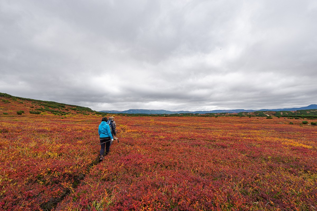
It’s not even that far, really. “Just 10 kilometers!” our guide, Denis, a man with years of experience, announced cheerfully. But we know he always measures distances in a straight line. Sure enough, it’s exactly 10km from Uzon to the Valley of Geysers as the crow flies. As the Kamchatka adventure-tourist walks, however, it’s closer to 15km since you have to follow the contours of the landscape. And it’s soooo worth it. There’s a trail, too – you can just about make it out here in the middle:
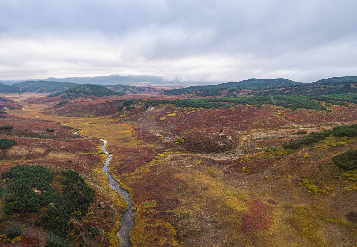
Alright, let’s go! We kept looking around, left and right, soaking in these magnificent views:
November 24, 2025
Easter Island’s moai story: one of fascinating former glory.
Herewith, a continuation of my tales from the mid-South-Pacific side…
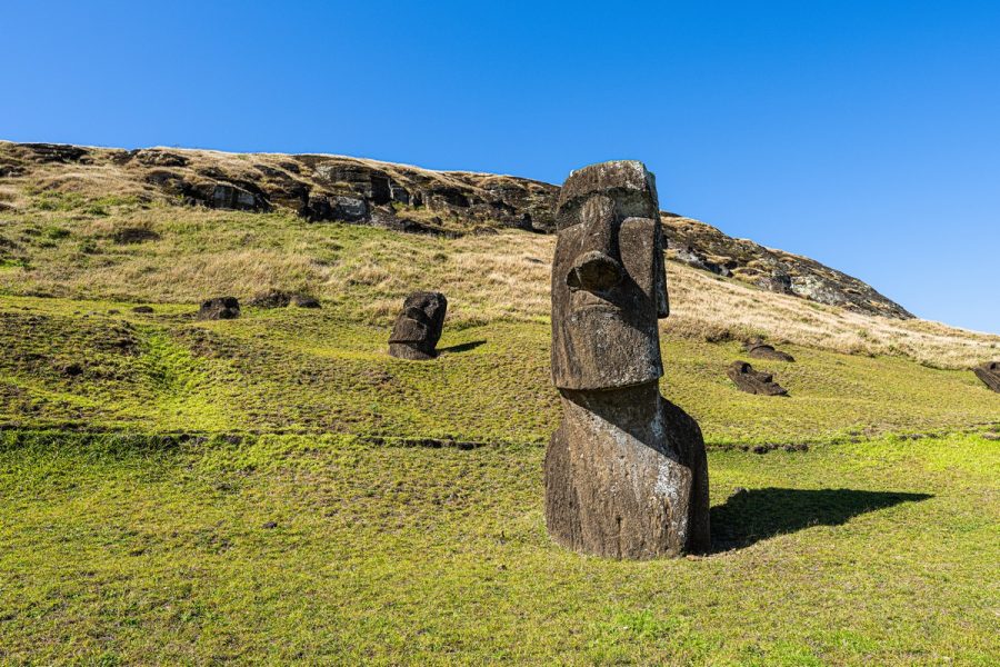
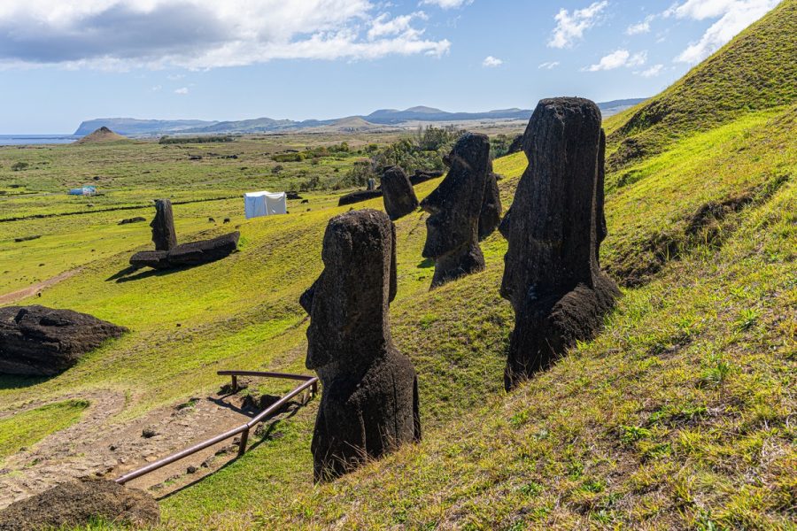
In my previous post I gave an introductory overall picture of Easter Island, while now it’s time to have a look at some specific sites. Where to begin? Let’s start with the moai; specifically – the quarry where all the raw material for the statues was sourced.
Our guide told us how the island was divided among nine or ten family clans, with land belonging to each clan radiating from a central point to the coast – like slices of a pizza, and one of these families operated the moai quarry on its slice of pizza, supplying statues to its neighbors. Completed statues were somehow transported down toward the shore to a “showroom” for other clans to come have a look, choose one, then take it off to their slice of pizza!
November 20, 2025
Back to Uzon – for the first time in autumn.
Of late – been really busy. No surprises there. But the best bit regarding recent weeks: what I’ve been up to has been very varied: just as I like it…
I had birthday celebrations in distant lands, I had a record-breaking air route (both in duration and distance), I finally got myself to Easter Island, and I revisited an old favorite – Iguazu Falls. But most of that needs some time to settle, sink in, marinate for a bit. So for now, I’m turning back to our trip to Kamchatka in the fall; specifically – the Uzon Caldera.
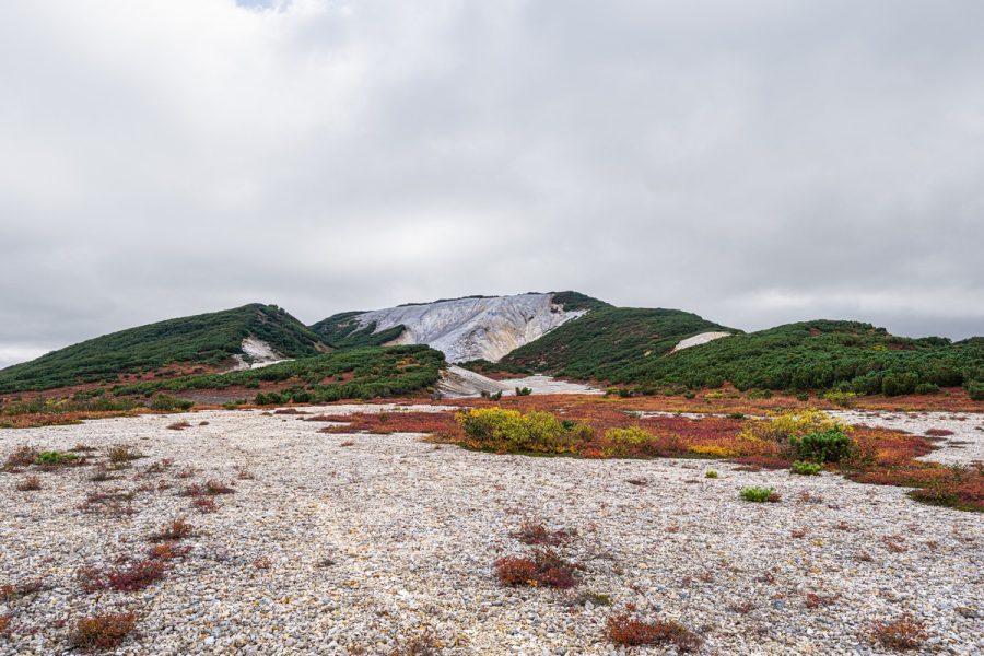
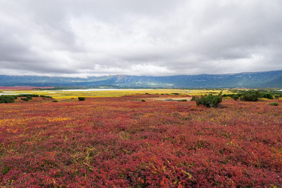
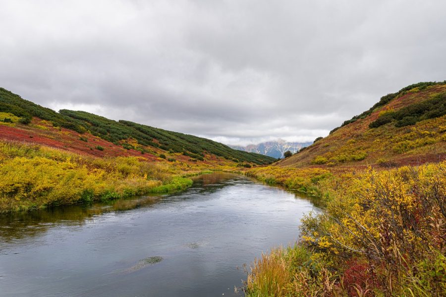
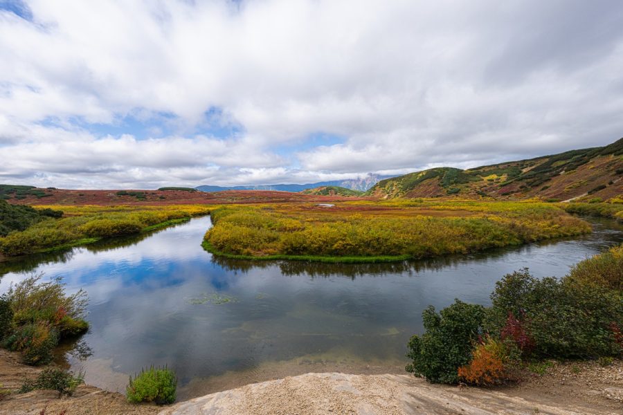
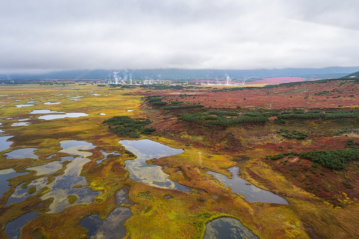
By my count, I’d been here a full five (5!) times before, but I never get tired of the place – and probably never will. This time though was a little different. Up until this trip I’d only ever visited at the height of summer – July or August. But I’d heard many times that the autumn colors here are something else: bright, magical, totally different. So this year (as already mentioned), we decided to visit in September – right at the tail end of the tourist season. And we were so right to do so. See for yourself:
November 19, 2025
Easter Island: the main whats, hows, whens & whys…
After finally getting to Easter Island (in two senses of the word “finally”) – let’s get going around this fascinating island…
I left off last time with our arriving at Mataveri International Airport (IATA code: IPC). The airport itself is nothing remarkable, so I’ll skip ahead: what’s there to see, how many days you should spend here, and what you should pack and wear. And of course, the eternal questions: how did people even get here way back when – and why did they carve these famous stone statues? ->
November 18, 2025
A record-setting air-route: Sochi to Easter Island.
As mentioned, Easter Island – also known as Rapa Nui – had long been one of my dream destinations…
November 17, 2025
Volcano-crater treks – +1!
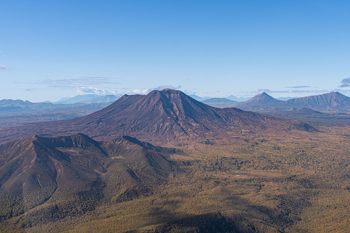
Kamchatka truly abounds in natural beauty, and here’s another precious gem in its impressive crown: the Maly Semyachik volcano, whose main feature is its rather sizeable crater (~800x900m), which cradles a stunningly colorful lake:
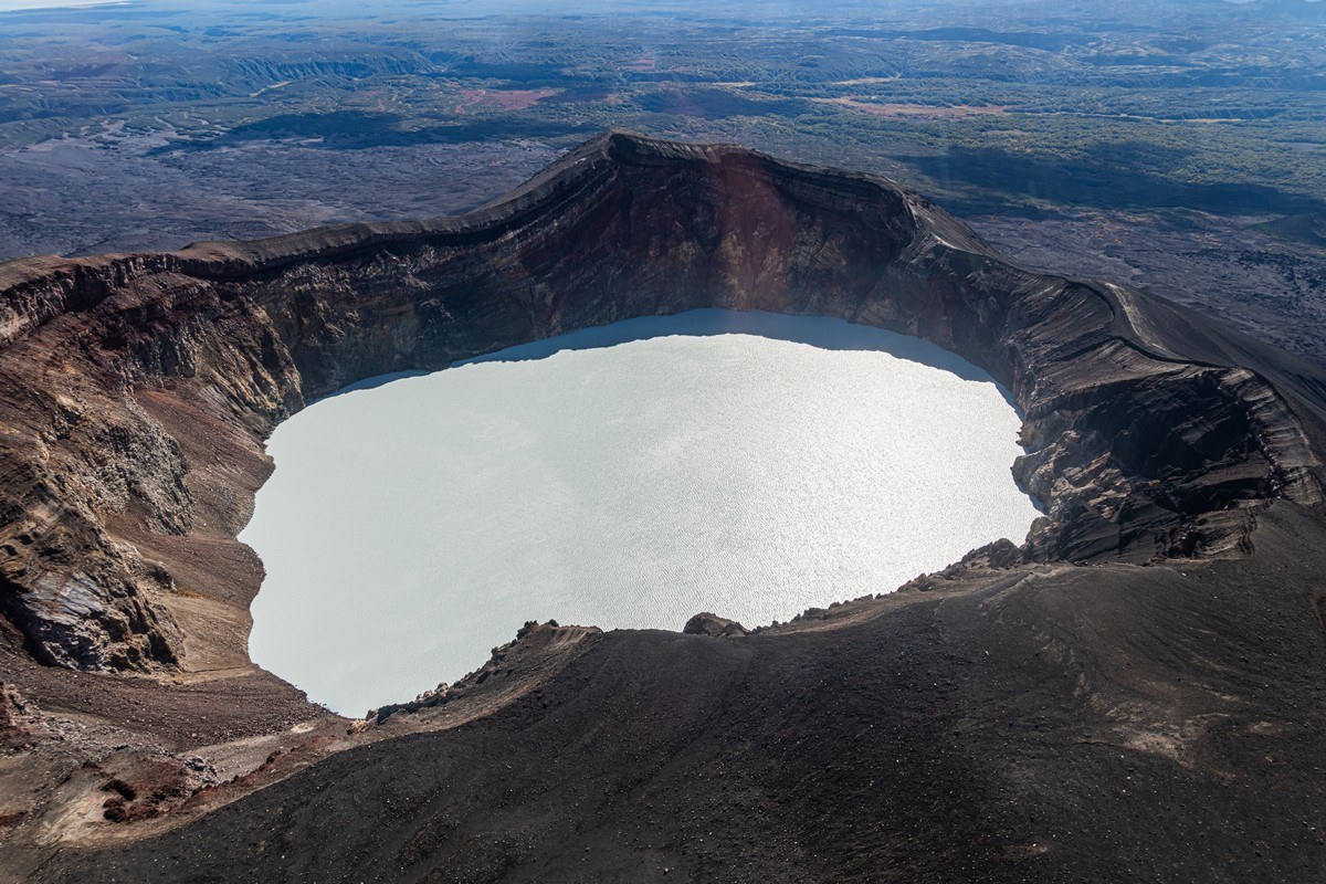
From the side the volcano looks rather unremarkable; you’d never guess such a marvel is hiding inside ->
November 13, 2025
Atop Avachinsky Volcano – the mind it did blow!
// In case you’re wondering… I’ll be flip-flopping to-and-fro between Easter Island and Kamchatka-2025 posts in the coming weeks: just so things don’t get samey :-) //
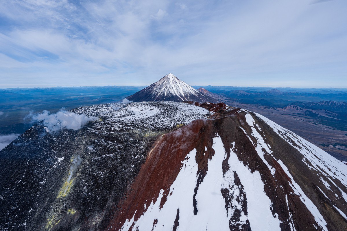
In Petropavlovsk-Kamchatsky (Kamchatka’s main city), my fellow travelers opined thus: “Where else can you walk out onto your balcony of a morning with a cup of coffee, and see three volcanoes right in front of you?” And I have to agree: three stratovolcanoes from one balcony of an apartment/hotel – probably only in Petropavlovsk-Kamchatka. Two volcanoes: maybe on the outskirts of Seattle; but three at once? I’ve never seen that except here. But wait… on a clear day you might just manage to see four volcanoes (each one: massive)!
These three four volcanoes are:
- The perfectly shaped cone of Koryaksky. Its height is so easy to remember: 3456 meters above sea-level. Yes – Mother Nature having a little fun there )
- Avachinsky (aka Avacha – not to be confused with the river). Its height is ~2741 meters (the precise figure differs depending on the source)
- Kozelsky, just over two kilometers tall. It makes up the view the people of Petropavlovsk-Kamchatsky get to enjoy daily
- Aag Volcano, but it’s normally invisible (too far)
Well, well. After those rapturous words about these three or four volcanos, I’ve actually… zero photos taken from a balcony to back the rapture up with! Why? This year we didn’t spend even a single day in “the City” (how locals refer to Petropavlovsk-Kamchatsky) – nor did we plan to. But we did still manage to check out these “home volcanoes” – only, like this ->
November 12, 2025
Welcome to SAS City 2025!
Hi folks!
Phew! Another year – and another Security Analyst Summit wrapped. This time is was – ooh, let me see: yes, the 16th edition of the event, and it was held in the Thai resort village of Khao Lak (here) – about a hundred kilometers north of Phuket.
In case you don’t know already, SAS is a one-of-a-kind security conference – very different from the usual, more buttoned-up, corporate events in the field. It actually started out as a gathering for our internal team – back when our own group of experts was growing and becoming more global. As it did, it made perfect sense to bring everyone together in person once a year: so the team members could get acquainted, interact face-to-face, and share their impressive research and investigations with each other. And it turned out to be a brilliant idea.
Eventually, someone (clearly thinking ahead) suggested we should invite outside cybersecurity experts, and so we began to welcome colleagues from other companies and organizations too. And slowly but surely, year after year, SAS grew into what it is now – a global conference for top analysts that still manages to maintain a bit of a party spirit. Here we allow ourselves to bend the rules a little, play, break from tradition, and do things our own way. But more than that, SAS has kept its club-like, invite-only character: a special expert committee decides who gets to attend. This has helped preserve its more open, candid atmosphere, where folks feel comfortable sharing more than they would at a typical IT security event.

