Hola folks!
Lima oceanside walkies – done; next up – our LatAm partner conference, with 220 guests, from 19 countries.
So. What? Why?!…
It’ all rather straightforward really. Practically any mass-market product is sold not directly but through retail chains, distributors, resellers, and so on. Well – maybe with the exception of online sales of various kinds of software, and even then you need a partner with an online platform (by no means every software company can afford to develop and maintain its own online storefronts). It’s the same in our case. While online sales happen with minimal partner involvement, everything from boxed product (yes – that’s still a thing) on upward – especially with corporate products that call for training, deployment, and support – simply can’t get by without a partner network.
And to make that network run more effectively, you need regular meetups, conferences, seminars on new products and technologies, and all sorts of other things like that. And that’s exactly what we do – every year we put on several regional partner get-togethers plus one global one; and we’ve been at it since all the way back in 1999! We even kept to the yearly partner meet-ups schedule through covid in 2020!
Fast-forward to 2026, and this time the capital of Peru was chosen as the venue for our LatAm conference: two days presenting our new products, technologies, and services, talking through the partner program, and so on. Naturally, I got up and spoke too:
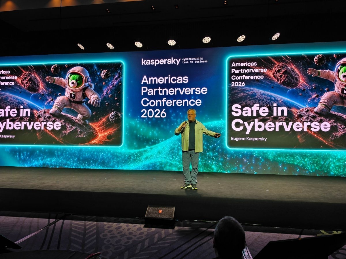
What did I talk about?… ->
Read on…