April 20, 2026
Couldn’t be calmer – on the way to Atacama!
Another long-held dream checked off the list – visiting the Atacama Desert in Chile’s far north (here). Feast your eyes! ->
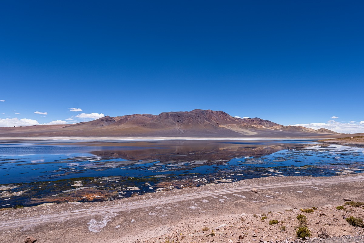
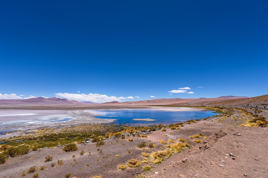
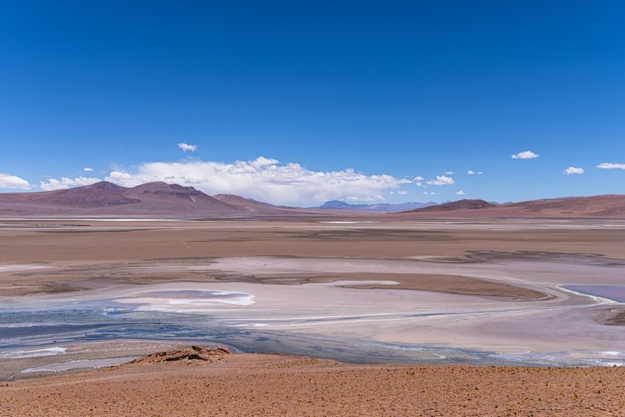
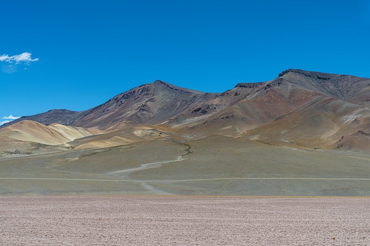
Mountains, volcanoes, salt lakes (called lagoons here), and wide-open spaces as far as the eye can see:
Some of the volcanoes here top 5600 meters. The highest is Ojos del Salado at 6893m (almost seven kilometers!), but, alas, it’s not visible from here…
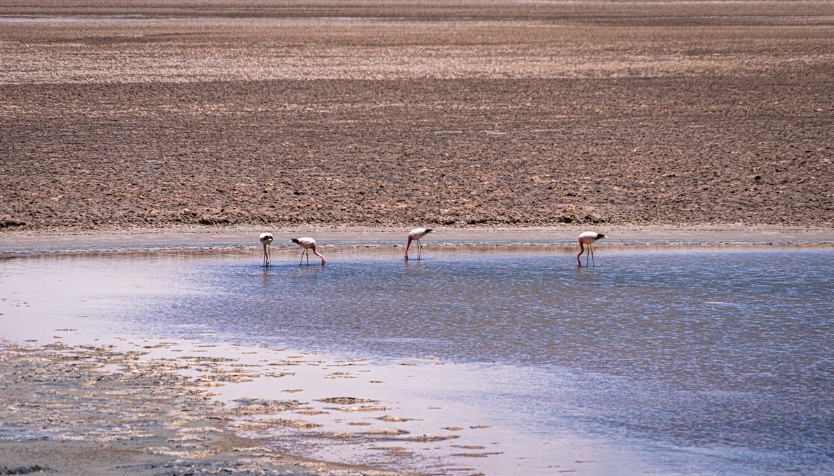
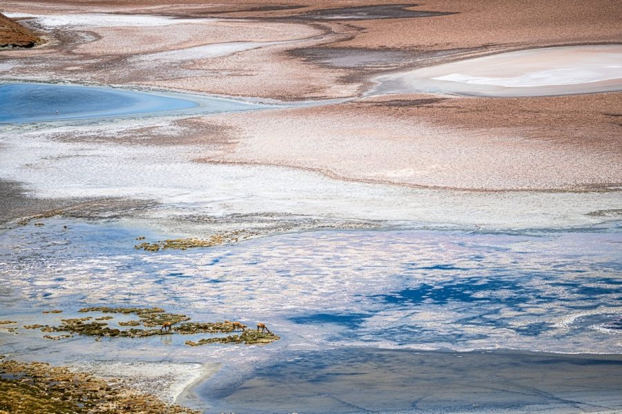
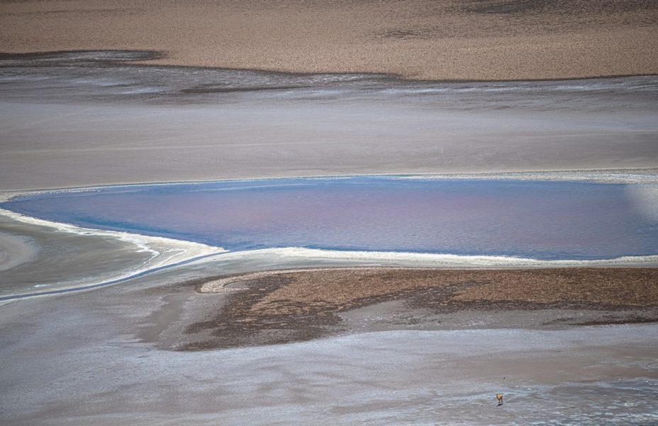
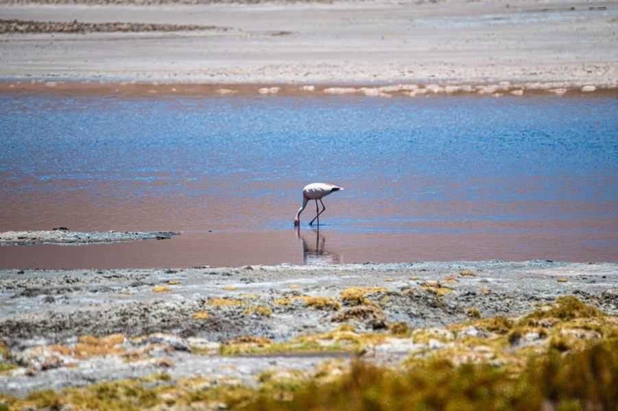
Flamingos wading in the lagoons:

Judging by their muted pink color, pickings are slim around here. (The more shrimp a flamingo eats, the brighter its feathers.)
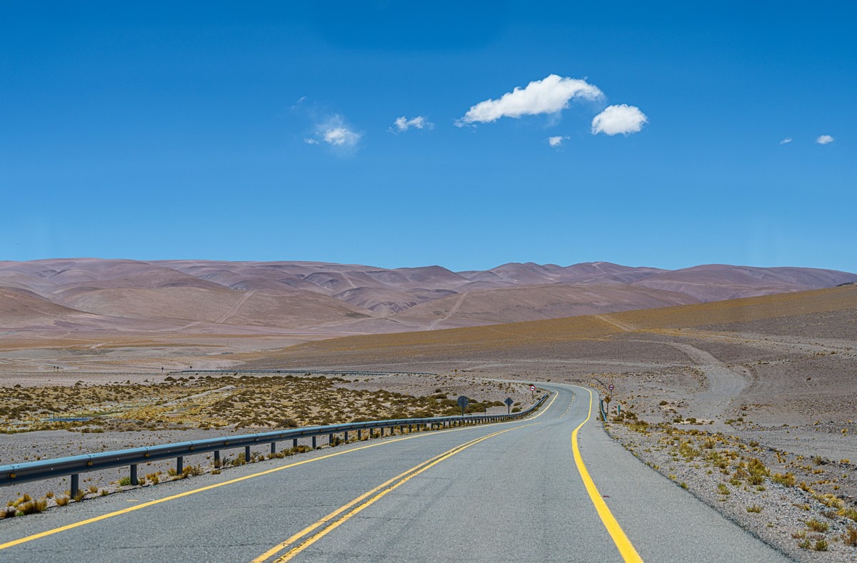
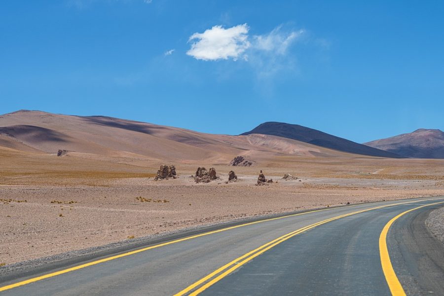
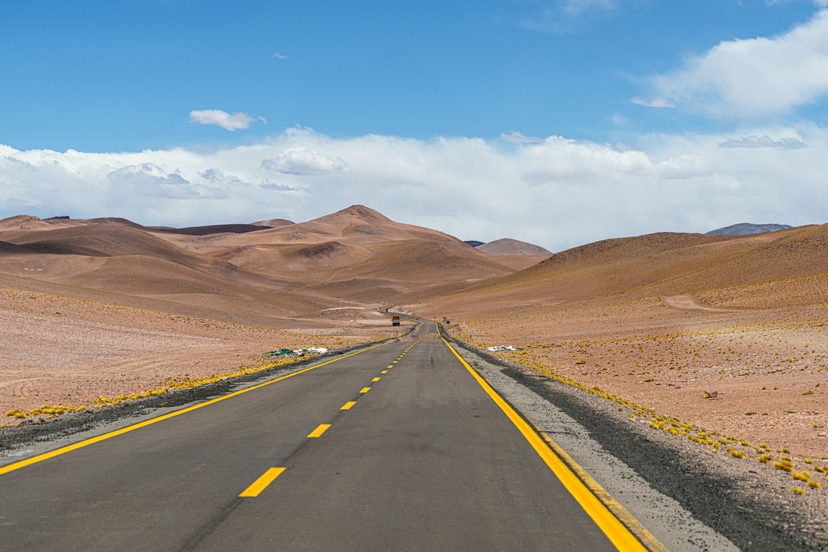
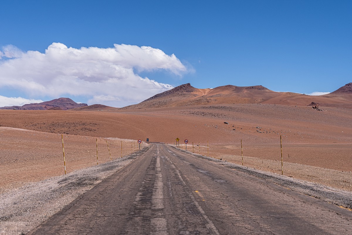
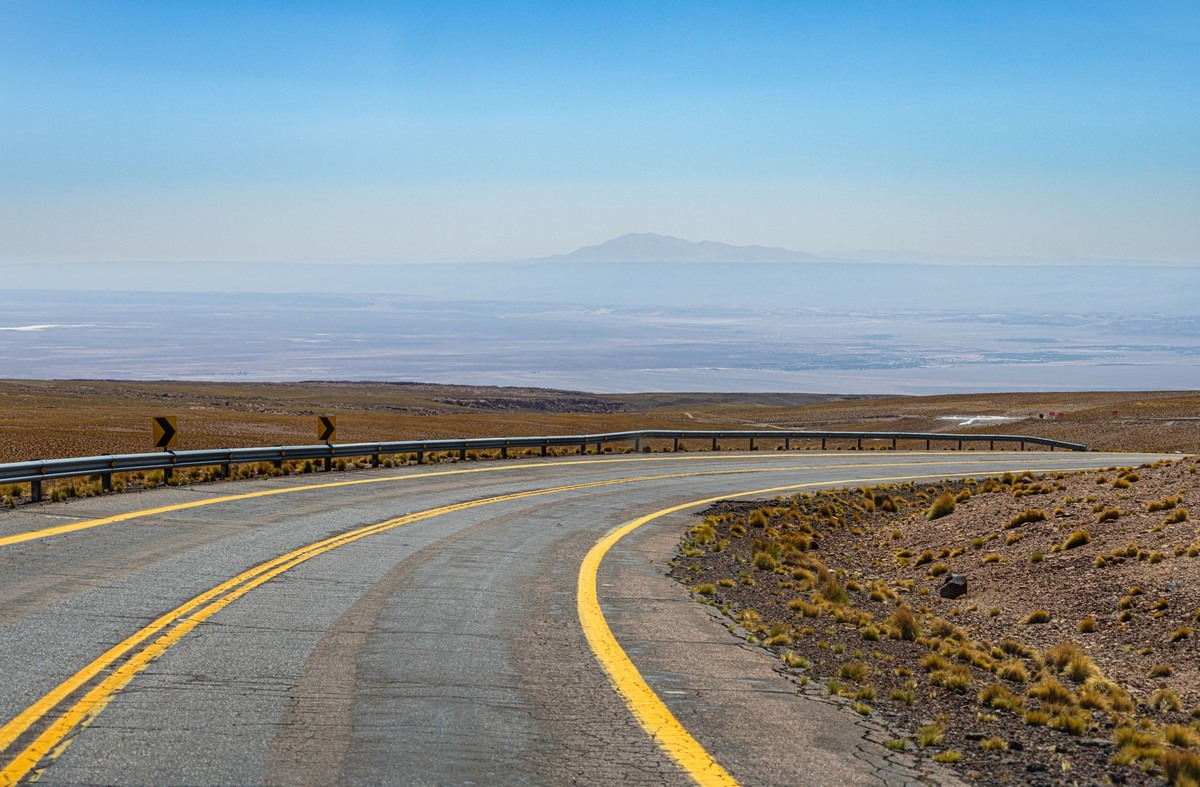
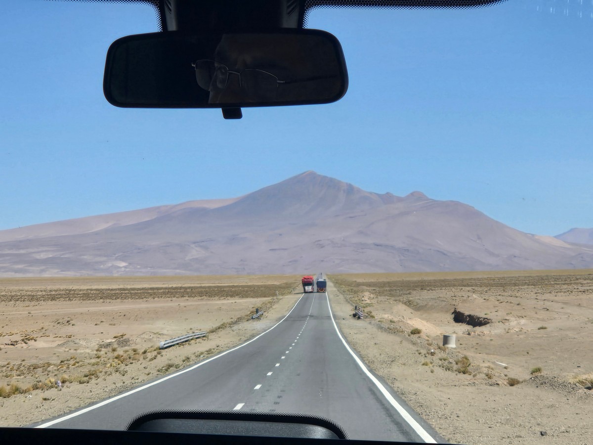
Curiously and Surprisingly, this road sees heavy freight traffic running coast to coast. Turns out it’s cheaper to truck cargo between ports than to sail around Cape Horn or navigate the Drake Passage. And get this: the road is some four thousand meters above sea-level – maxing out at a lung-busting 4800m at the mountain pass!…
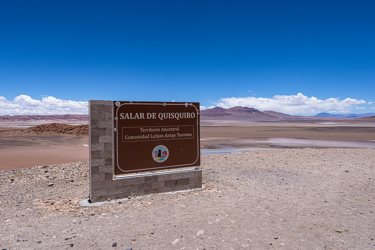
Hardly any tourists, but there is some tourist infrastructure:
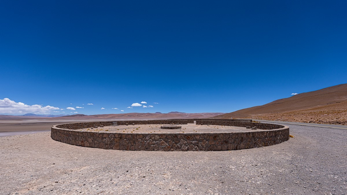
What this thing is or what it’s for – no clue…
Lagoons: seen. Onward!…
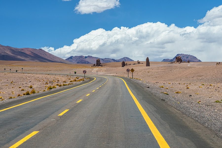
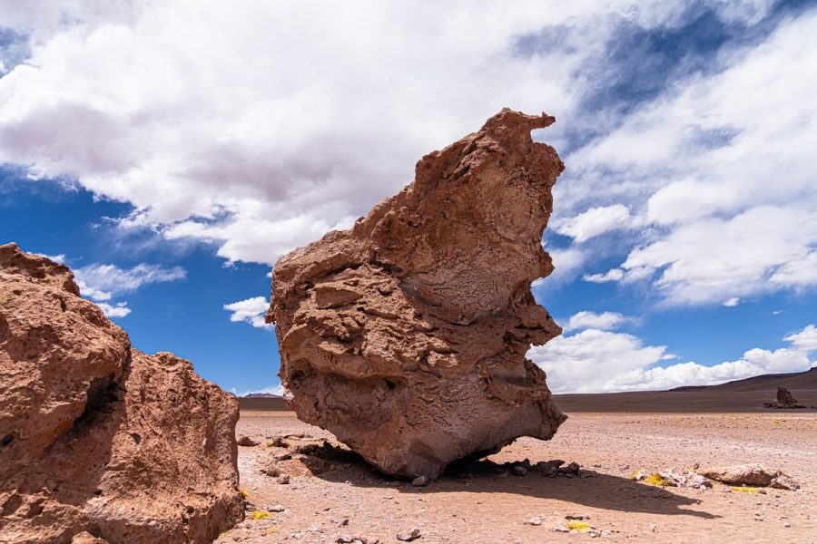
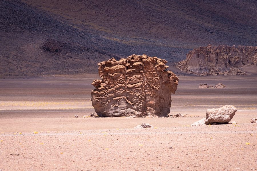
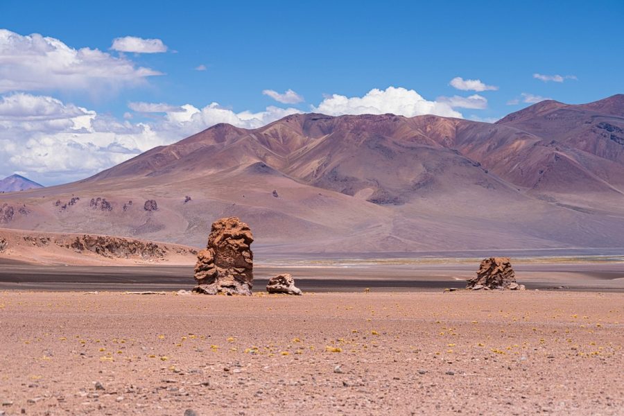
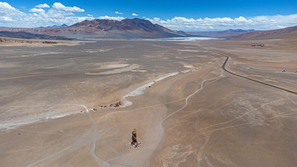
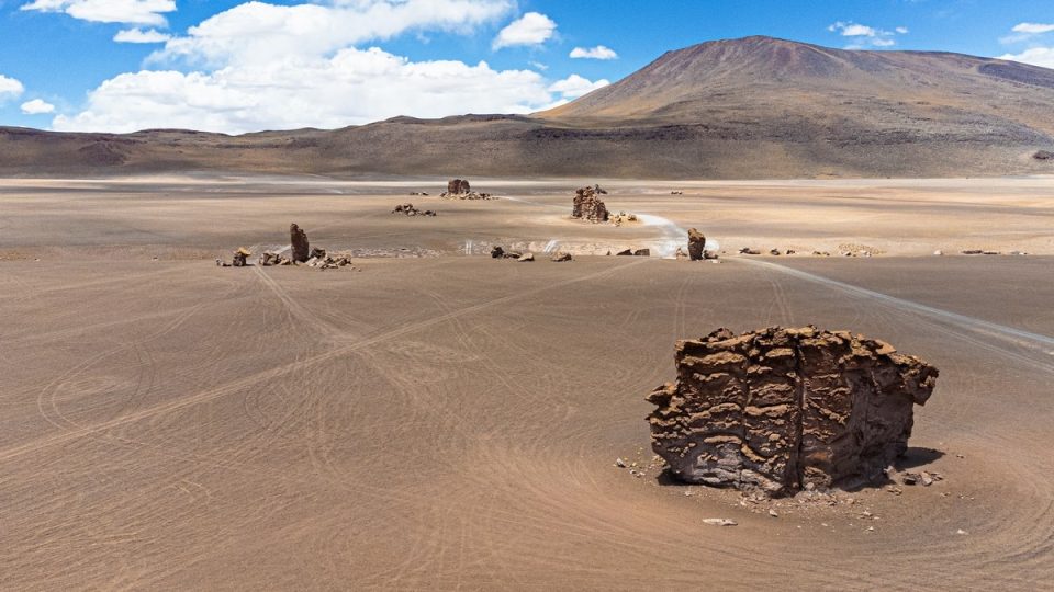
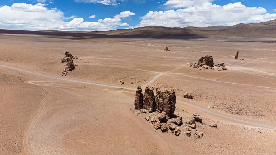
Next up – bizarrely shaped random rock formations:

This spot is called Monjes de La Pacana (the Monks of La Pacana). Apparently this rock looks like a praying monk from a certain angle, but I couldn’t see it :)…

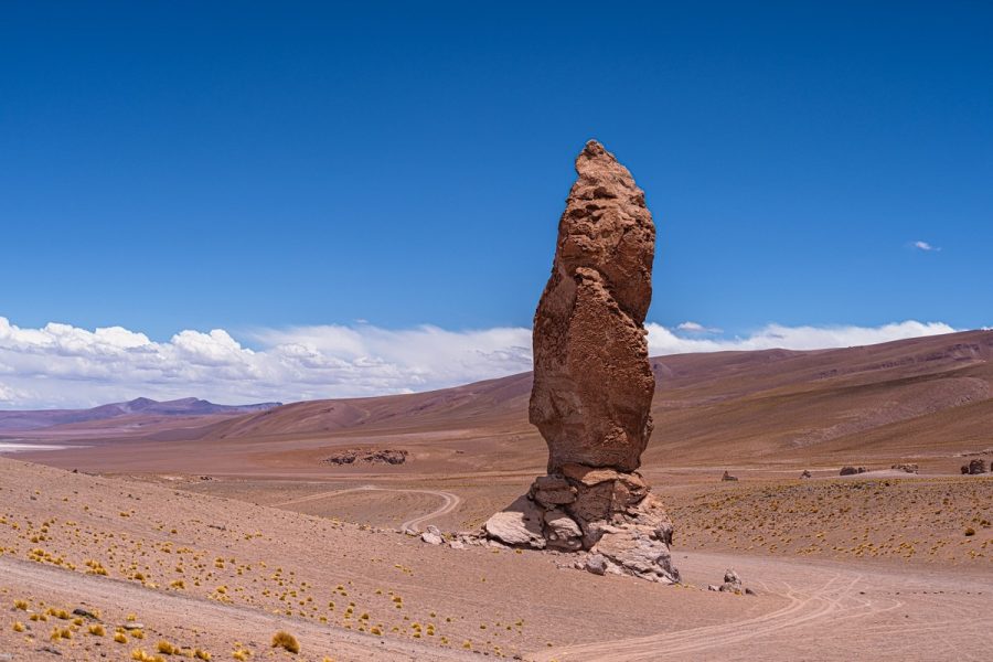
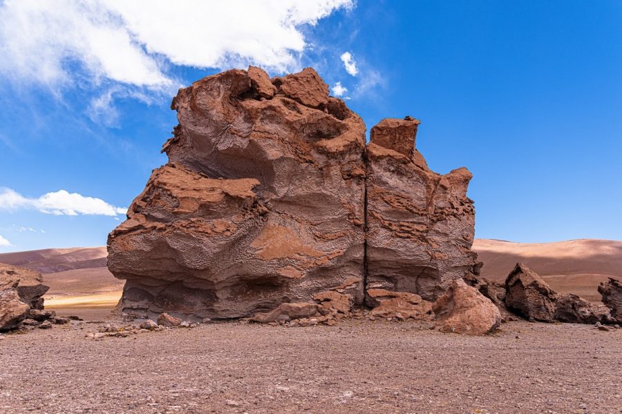
Still beautiful and otherworldly; nature really outdoes itself sometimes…
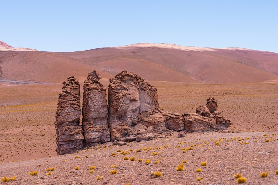

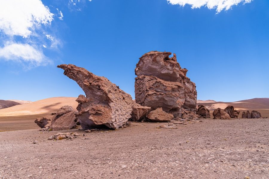
Btw: Similar rock formations are to be found 50km to the north in Bolivia’s Salvador Dalí Valley.
The road continues up toward the pass at 4800+ meters:
Gorgeous!

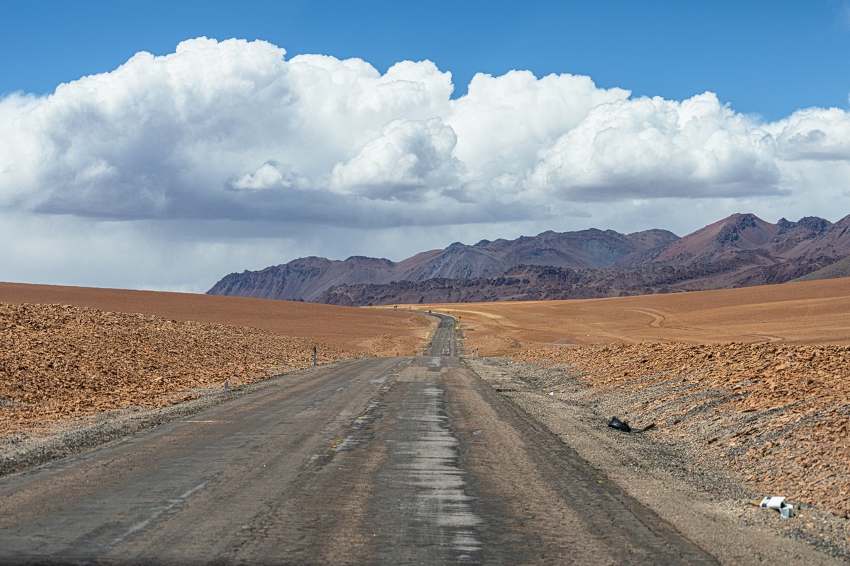
Suddenly the road gets rough:
This area is dotted with telescopes/observatories – both in the valleys and atop drivable volcanic summits. Here they are on the map. But the access roads are either closed or require a serious 4×4, so we could only admire them from afar:
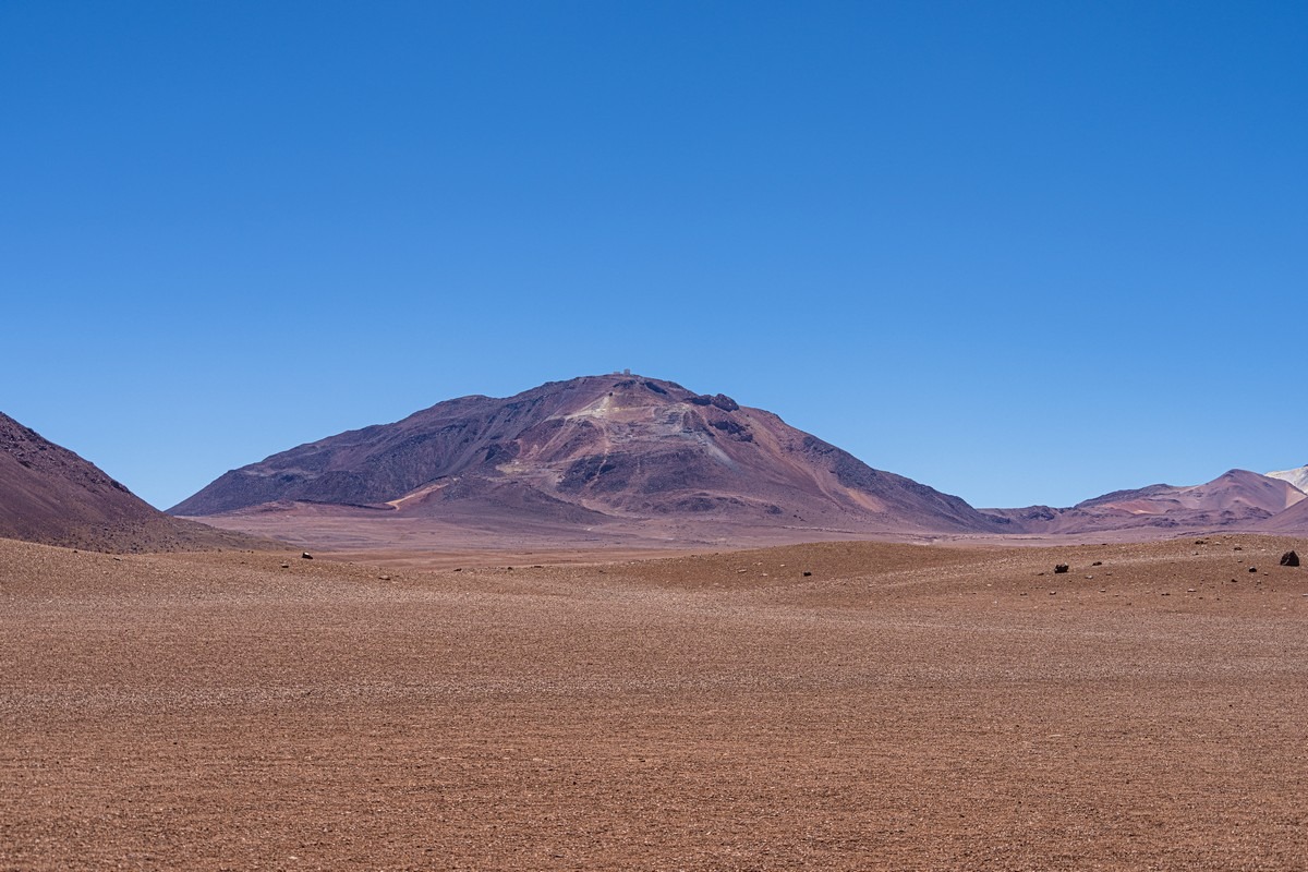
See those buildings waaay up on the summit? It’s an observatory:
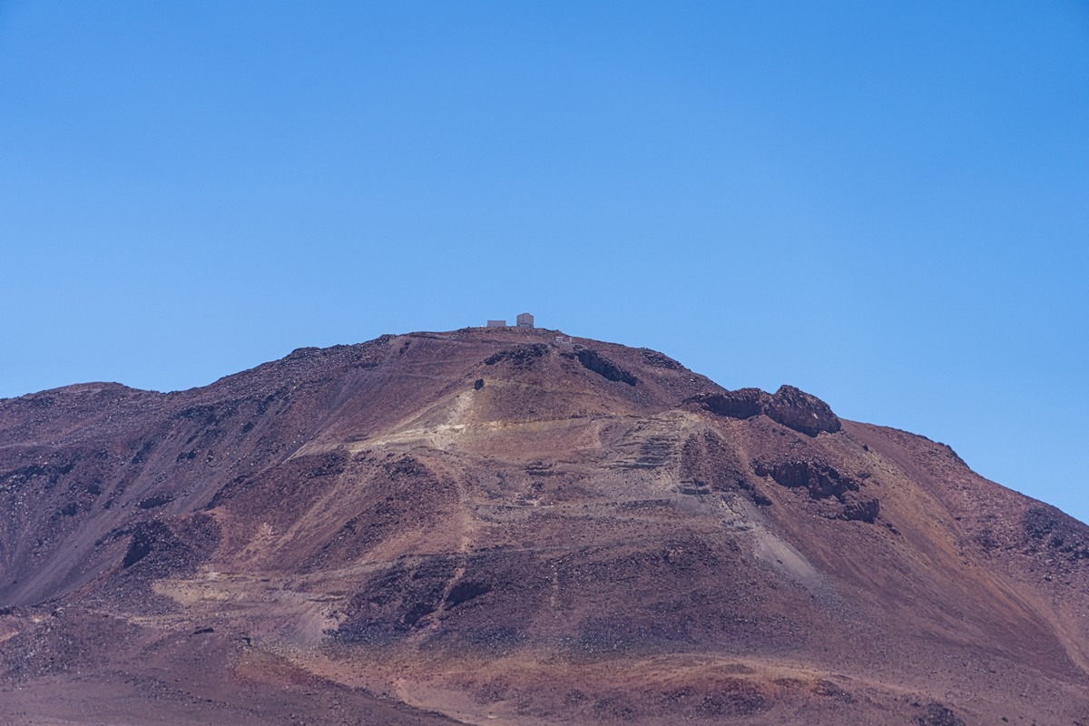
So, why all the telescopes here? This part of the Atacama has an exceptional “astroclimate”: pristine, homogenous air; zero light pollution; minimal cloud cover; and decent road access. Apparently only three places on Earth tick all these boxes: Hawaii, the Canary Islands, and right here.
Further along – road markers! So they do get snow here. Probably in winter… or wait, summer?… I mean their winter – June through August…
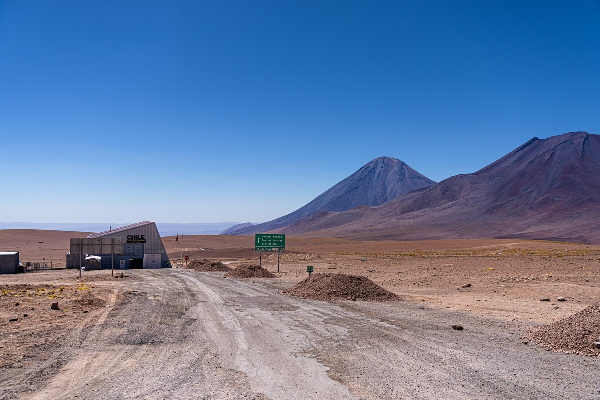
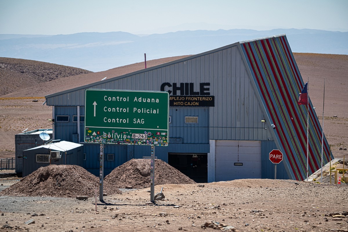
The border crossing into Bolivia – anyone following the Great South American Adventure route will pass through here.
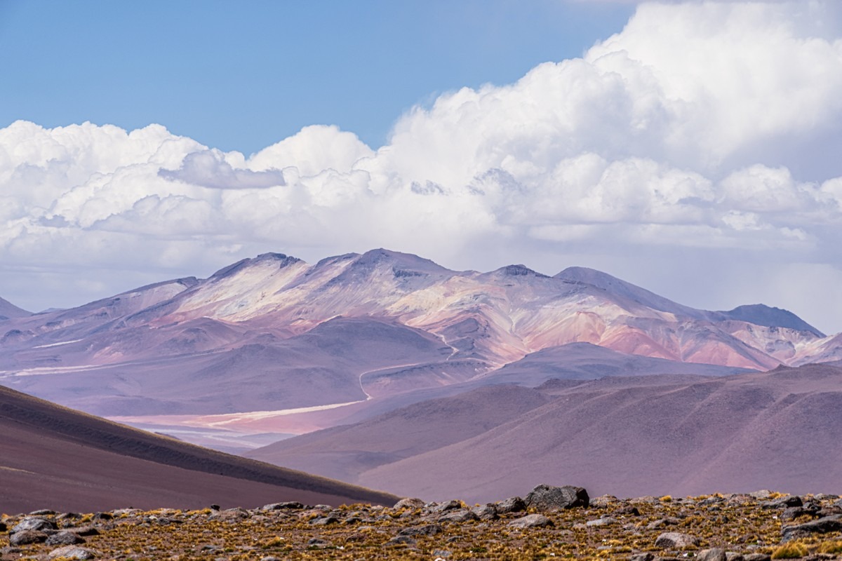
Way off in the distance: the stunning Bolivian Altiplano ->
The road then descends into an inhabited valley. Somewhere out there is today’s destination: San Pedro de Atacama, elevation: 2400 meters. That’s a 2400m drop from the pass – serious ear-popping territory…
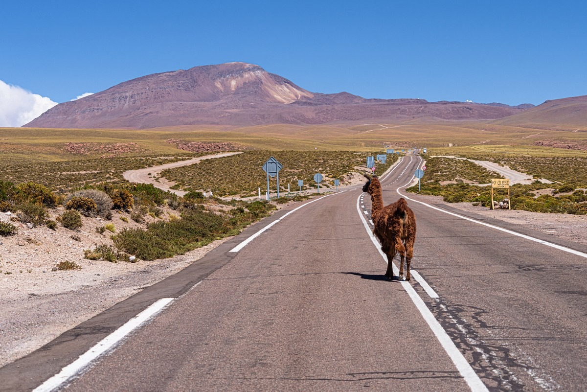
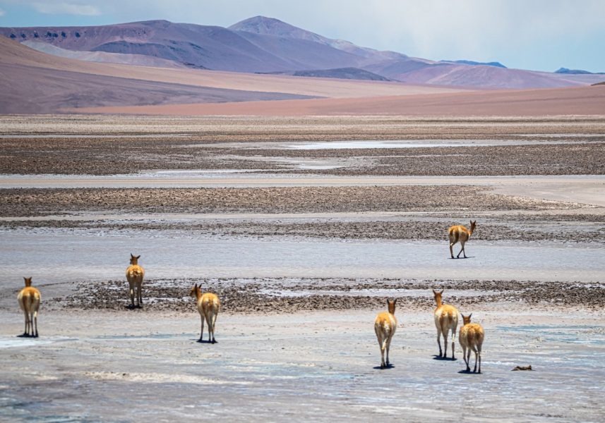
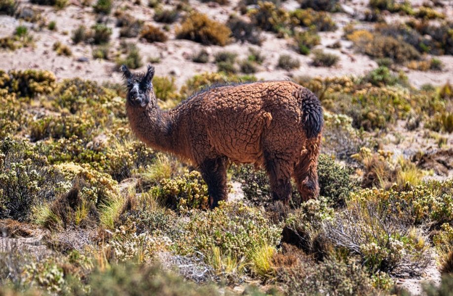
Domesticated llamas started appearing (you can tell they’re domesticated by the ribbons or markings on their ears):
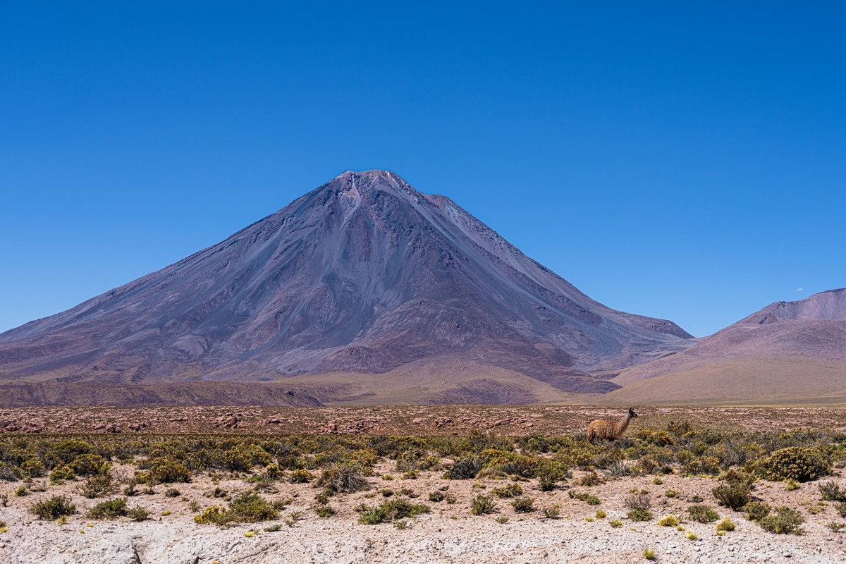
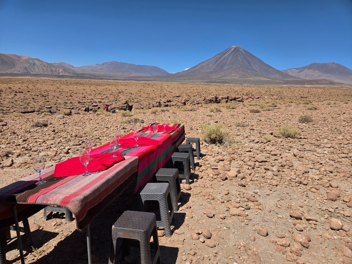
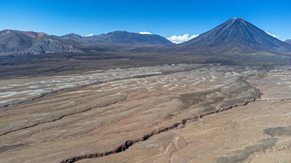
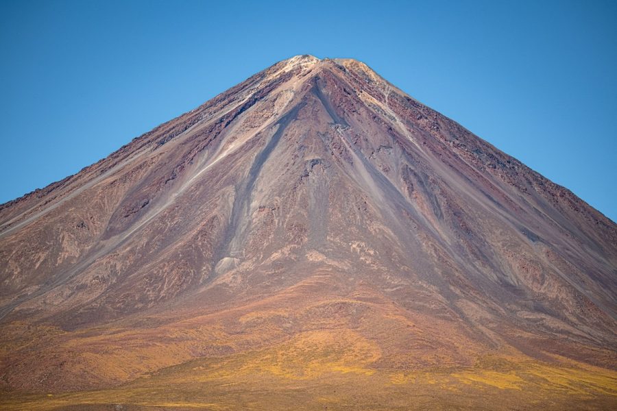
Volcanic splendor all around:
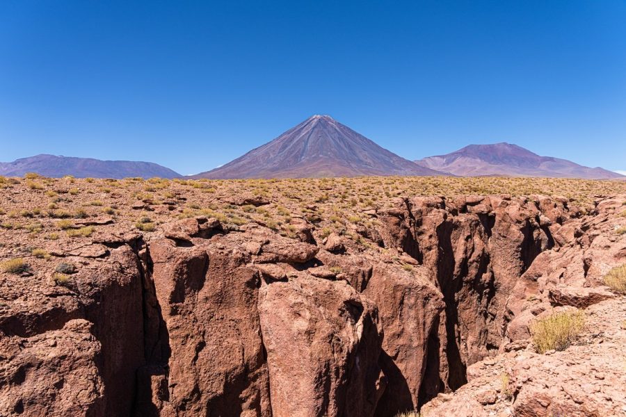
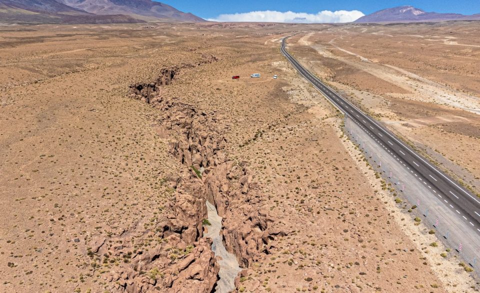
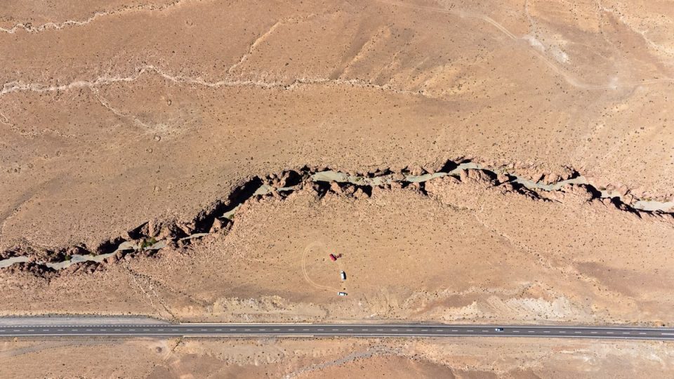
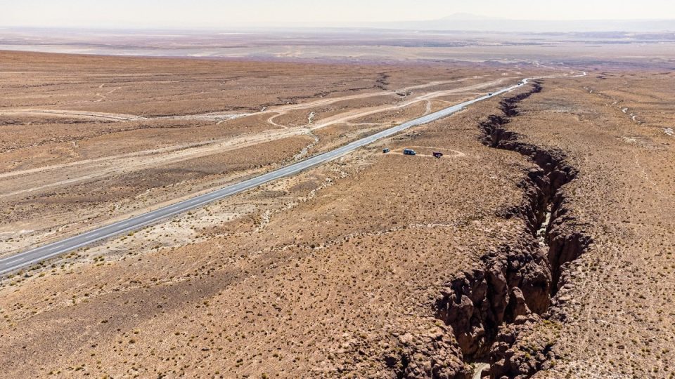
A decent little canyon. …And it’s over 15 kilometers long! You’d be hard-pressed to hike the whole thing one end to the other and back in daylight…
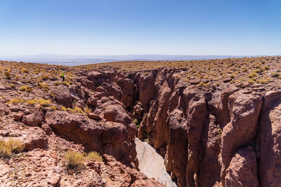
But that’s not why we stopped; we stopped as it was time for lunch! ->
And now some photos from my trusty travel companion, DZ…
Light traffic, mostly trucks:
Colorful lagoons and their residents:
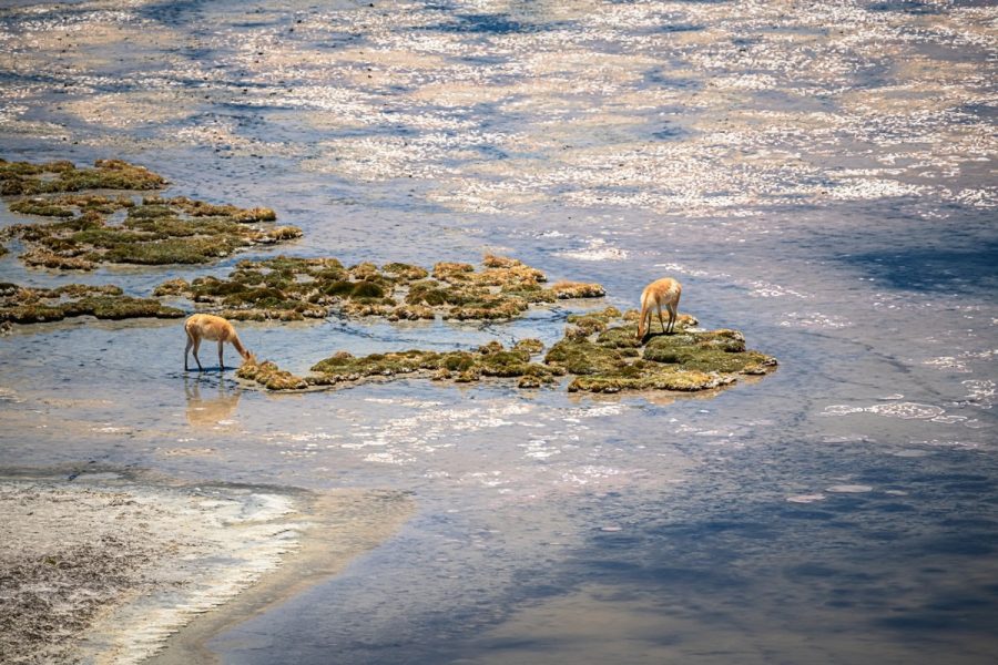
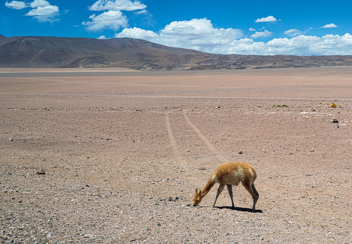
No idea what this vicuña is grazing on among those rocks ->
Those rock formations again ->
And the volcanoes:
The 15-kilometer canyon:
Judging by the tourist stickers, tourists do pass through the Chile-Bolivia border (between the Atacama and Altiplano deserts), though not that often:
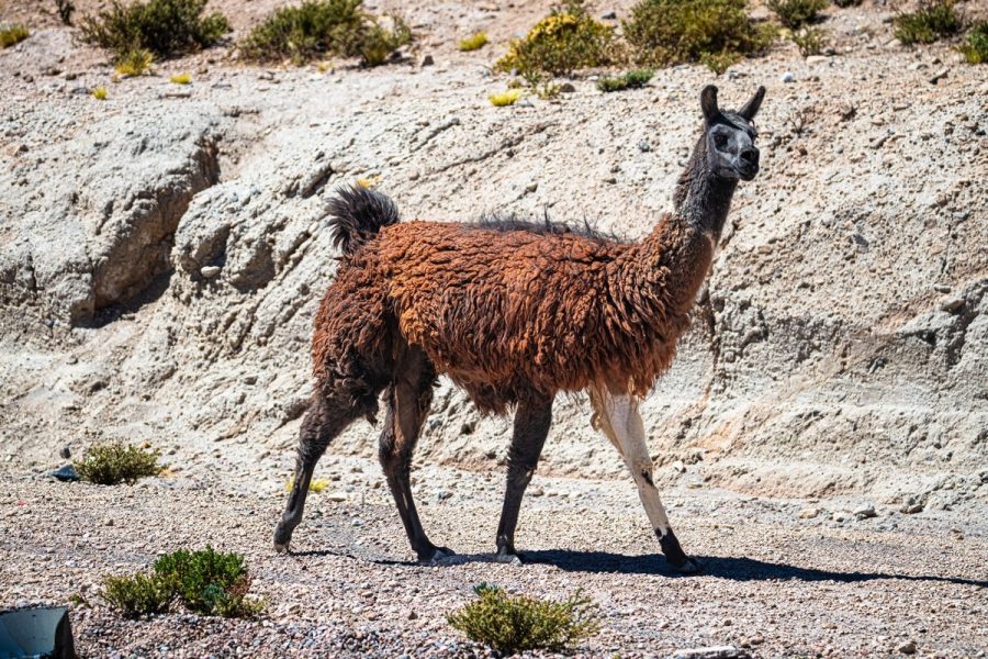
Yet another llama… or is it an alpaca? I still can’t tell them apart, even though I’ve been shown plenty of both!
To be continued!…
The best hi-res photos from our 2026 Latin America road-trip are here.

