February 18, 2020
Lüderitz and why giraffes and penguins never made it to America, even though they don’t need a visa.
Day 5 of our Namibia trip is here, and already off to an interesting start. After trekking, touring and giving our cameras a workout in the Namibian desert sands and dunes, it was time to move on to Lüderitz.
Off we went, driving across the endlessly wonderful and wonderfully endless Namibia.
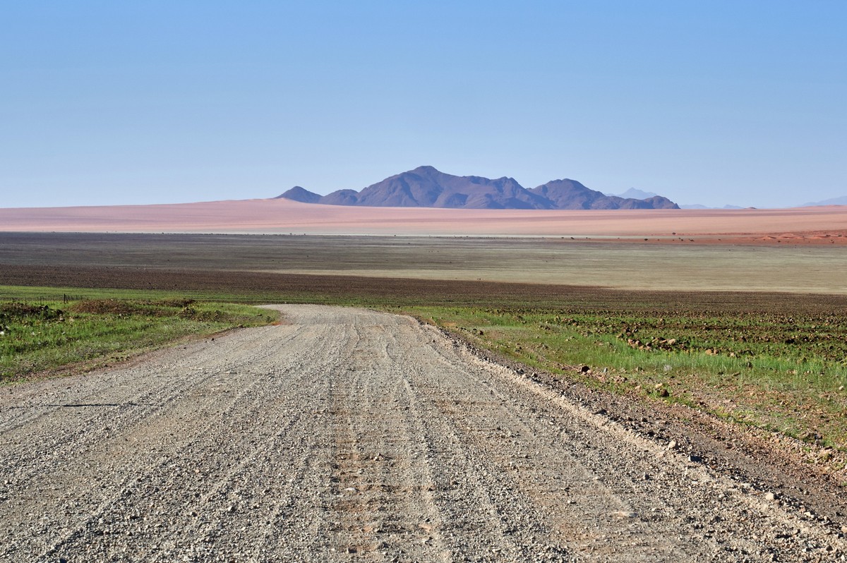
We had a 460+ km route planned for the day. It might not seem long, but after getting paranoid remembering how awful the road was two days ago, we decided to get an early start. Who knows what it’d be like before we reached the paved part they promised at the end?
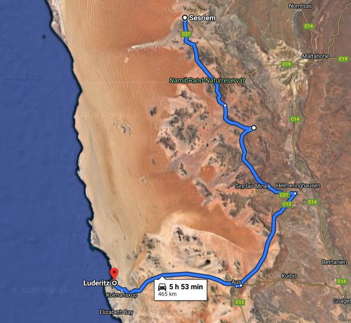
That terrible road still haunted us, so we hopped out of bed at sunrise like always, tossed our luggage in the trunk, were the first people at breakfast in the local cafe, and I took my first picture at 8:00 in the morning.
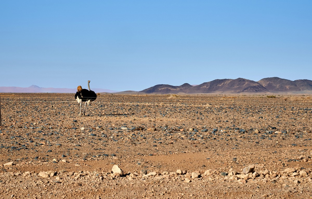
It was a big black bird haughtily showing off his backside.
I’m happy to say we got lucky with the wild animals today. Just a bit after the ostrich, we drove past a road sign with a giraffe on it (but didn’t get a picture). In all fairness, we weren’t holding out any hope of seeing a giraffe in the Namibian desert, instead we all agreed that they put whatever animals they wanted on these signs just to keep drivers on their toes. We were convinced the next sign we’d see would have a… Wait, look! A giraffe! Just one. Like the sign promised :)
The same yellowish tint as our zebra friend, he was standing there staring at us.
We got our picture and moved on. The road was straight and smooth, and everything was beautiful. The road signs were always standing right where you needed them. The names on them were beautiful too.
Everywhere we drove there were signs for some “Duwisib Castle” (see picture), which of course we couldn’t help but notice… What kind of castle could there be in Namibia? But we didn’t have them internets, so our curiosity went unsated. Now that we do, here it is: Duwisib Castle. Not much to look at :)
Sometimes the road pierced the desert straight as an arrow, or zigged and zagged through hills and mountains, or flowed like a long ribbon down into the valleys. But we needn’t have been so nervous — our car only slammed into one unexpected rut in what was otherwise a straight, smooth road. Just that one time. The other 330+ km of gravel roads were a delight to drive on, except for the occasional rough patch. But the vast majority was smooth sailing, I’m talking almost unbelievably smooth ->
The real obstacle that slowed us down and kept us stopping was our cameras. “Hey, stop the car, I want to take a picture…” Wait, no, just kidding. Don’t listen to me. We took this pic without stopping.
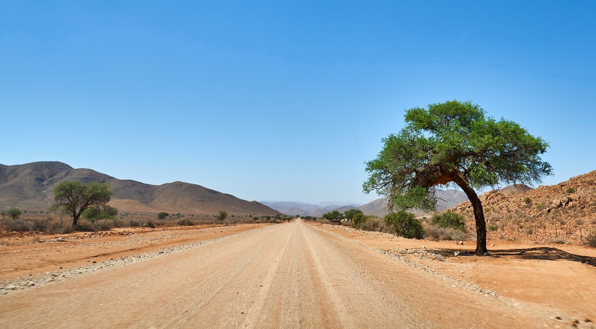
Nobody really promised us any crazy sights or anything, and besides the ostrich and giraffe we didn’t see much out of the ordinary… But then…
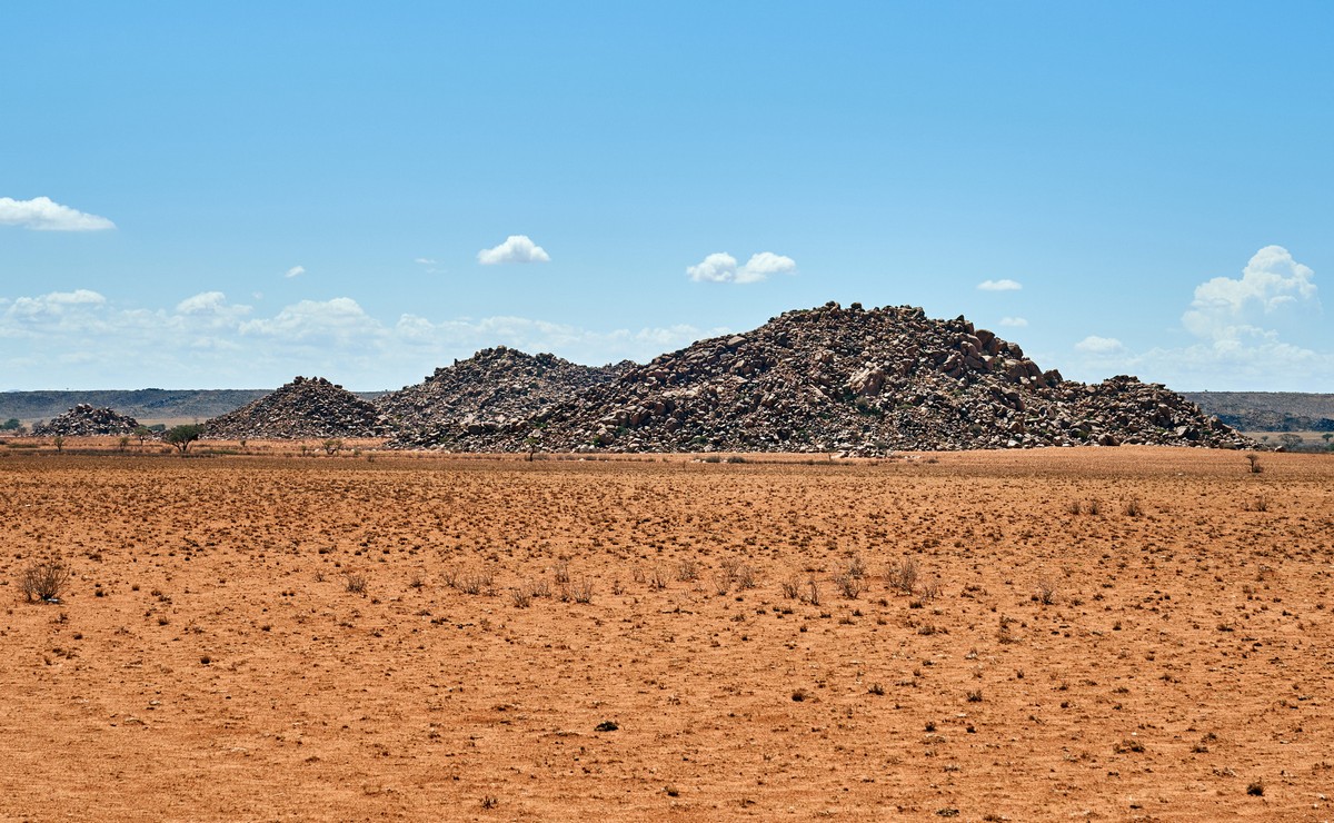
Some super suspicious rock piles…
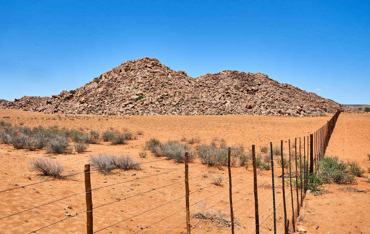
No, but seriously, how’d they get here? It’s like some giant decided to make a rock garden or something. Before or after we never saw anything like it again. Flat desert all around, and suddenly these rock pyramids out of nowhere. How? And right past them a fork in the road.
At the start of our trip, Namibians in the capital kept telling us to go left here. Sure it was 100 km longer, but the road was paved smooth, and in no case should we ever turn right. Google and other maps were a bit more ambiguous, some saying to go left, others to go right. So we looked back and forth… And chose the shortest route. We figured hey, if the going gets tough, we can always turn around.
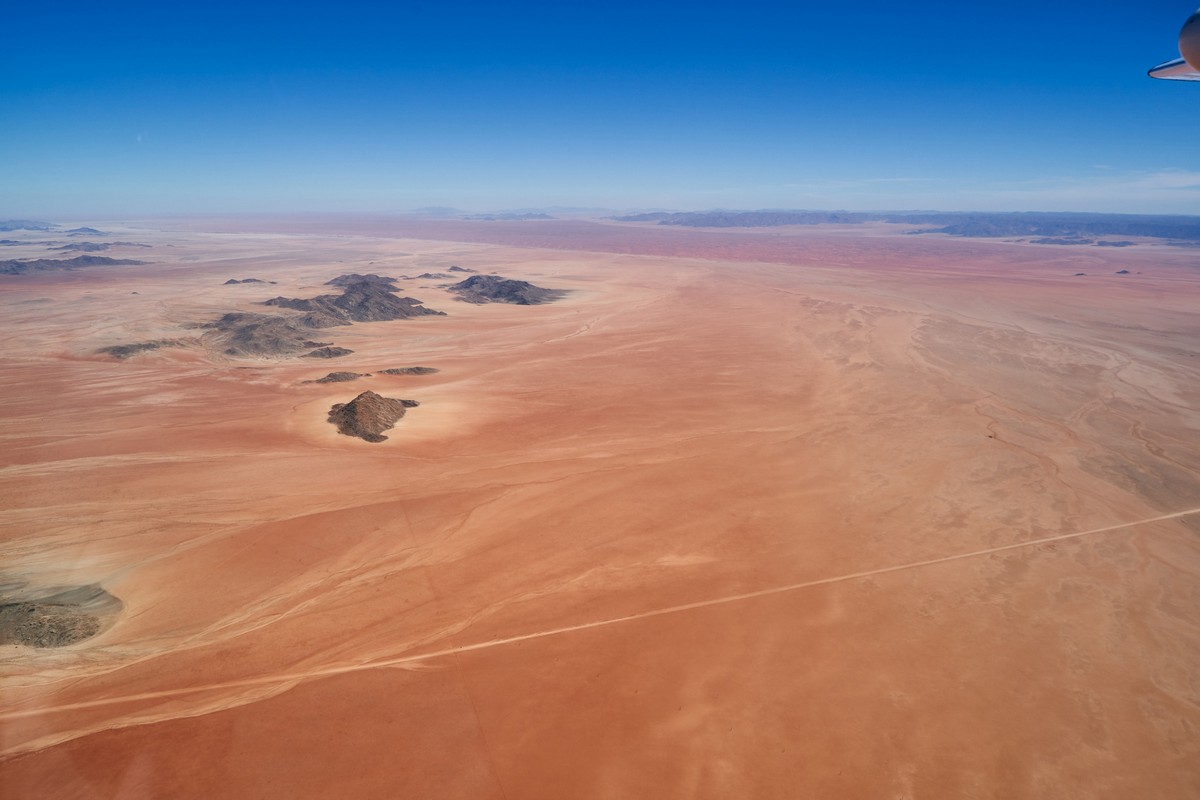
Turns out there was nothing to be afraid of! The road was amazing and perfectly smooth, a 50 km stretch through an absolutely surreal landscape. Abstract road photography… The white thread in the background was our road.
The white thread closer up:
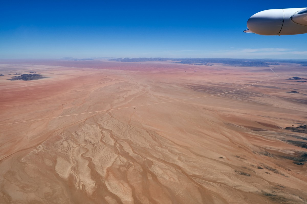
Ahh! I wanna go back!
We made it: paved road and our exit to Lüderitz.
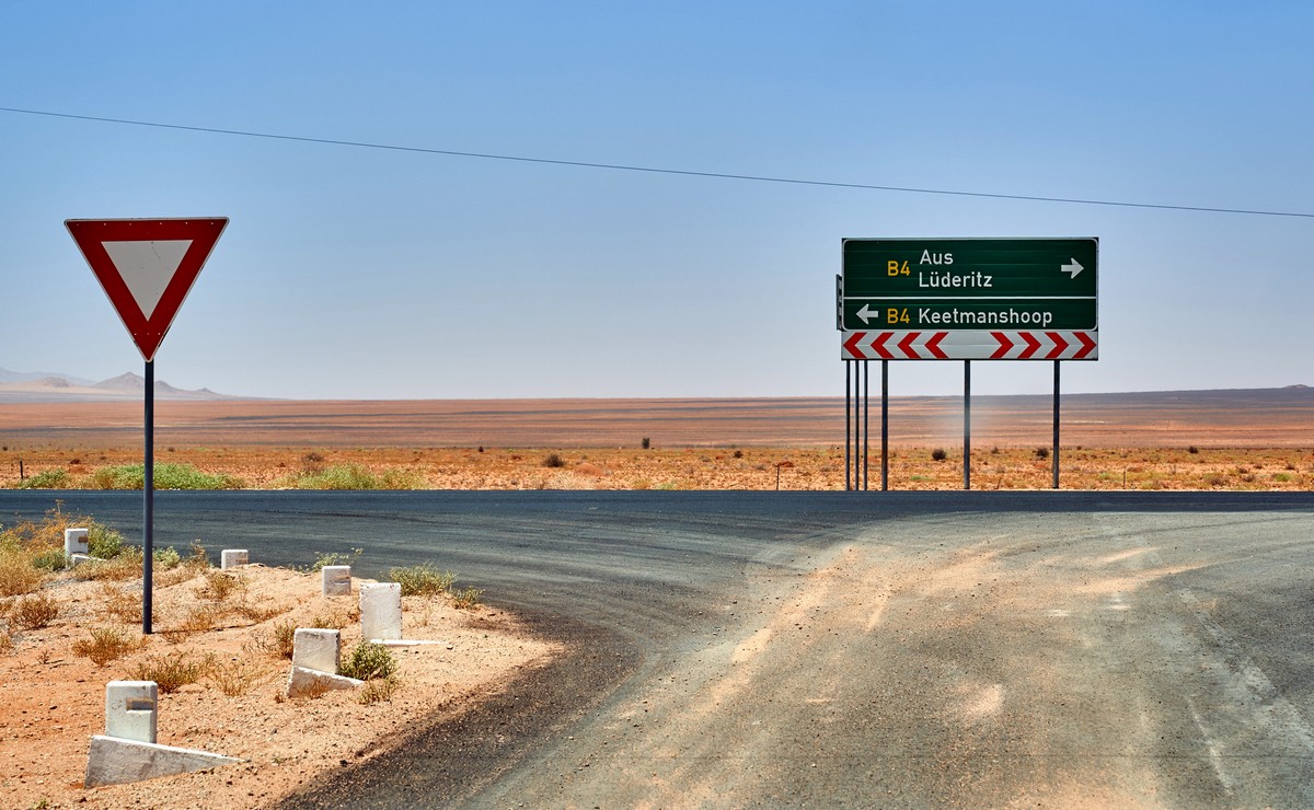
The road to Lüderitz is the stuff dreams are made of. Asphalt, markings, the works! Okay, back in the saddle. At some point on the road we got internet again and came across something interesting.
It turns out that a herd of wild horses lives around here after being set free by a bankrupt German colonist (or maybe he wasn’t bankrupt, I can’t remember now why he let them go). The horses survived in the desert and the herd grew. Then a triangle-shaped “Horse crossing” sign popped up in front of us. We barely even had time to register it when… There they were! The alpha(?) was standing there like a border guard: “You must pay the toll to cross.” The rest were waiting in line to pay too :) The big guy was just skin and bones, you can see his ribs. Life in the desert is no picnic. So our esteemed ornithologist N.I. gave him some bread. We only realized later we should’ve given him some water too. It’s the most important resource for all life in the desert.
Next we came up on the ghost town of Kolmanskop. But we were just passing through, this stop was on the itinerary for tomorrow, not today. Plus the place closes its gates to tourists at 1:00 p.m. sharp. We’re no criminals, so no means no. Time to turn around. But we weren’t worried, the way back was interesting too:
“Stop the car!” they said, watch for oncoming trains! But a quick look at the sand covered tracks and we started second guessing if there was really anything to “watch” for. Sands, sands, everywhere a sand. Literally.
Russia + railroads = Huge Expanses and Snow.
Namibia + railroads = Smaller Expanses… and Sand.
Tons of beautiful, dune-forming, sandpapery-yet-smooth-to-the-touch red — you guessed it! — sand. But it needs some sweeping. Especially here. I wonder how much the locals make cleaning it up? But that’s a talk for another time. It’s kind of a sad topic.
After some more stop-and-go driving, we finally made it to the harbor town of Lüderitz. Here’s what it looks like (from the other side of the harbor) ->
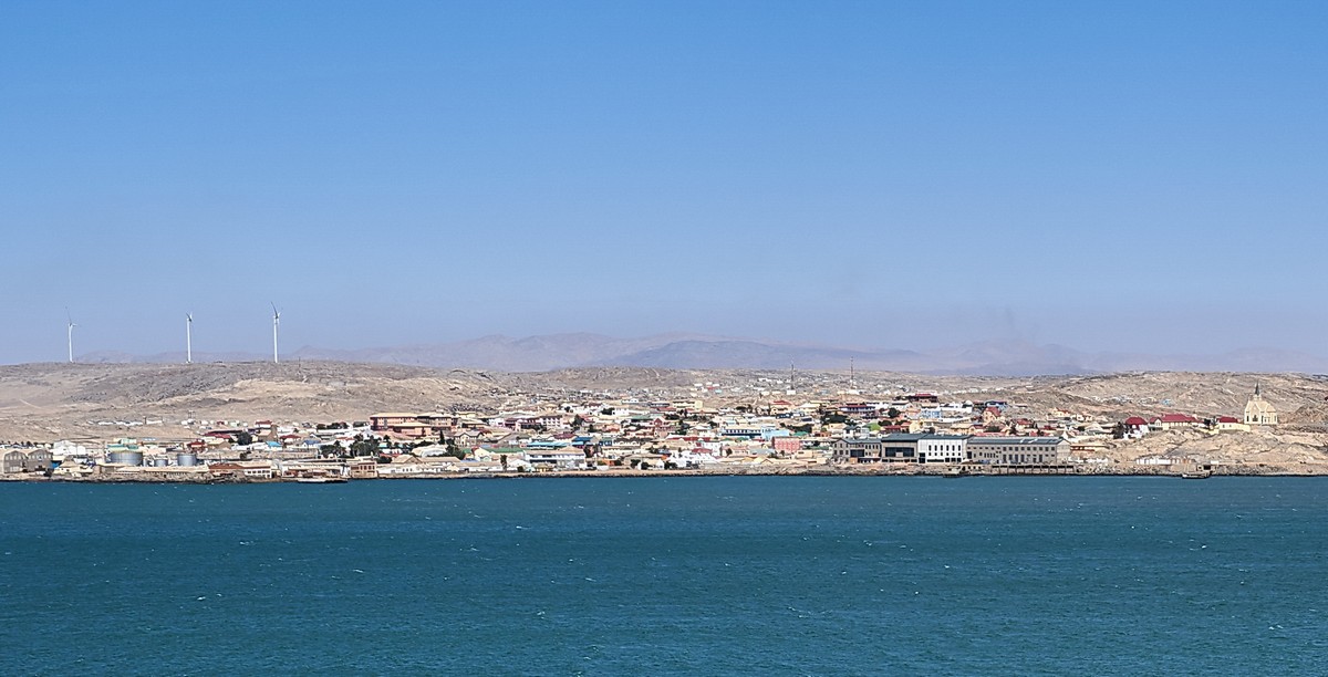
A fascinating little town with an almost unbelievable history full of funny little details. For example, the scam colonists pulled when buying the land from the natives. Here’s info from Wikipedia: only after the contract was in force did they explain to the seller that it wasn’t in English miles (1.8 km), but Prussian miles, which are equal to 7.5 km, thus making the sold land 300 by 150 km with an area of 45,000 km².
Later, they found diamonds nearby and harvested bird guano on an industrial scale on the closest island, but eventually both resources dried up // not even diversification this unique could save them :) Today, the town is in decline, making tourism one of the main sources of income for locals. So we did our part! We kept driving and taking pictures… But on the waterfront next to the town there isn’t much to look at. Even this old boat wreck is considered a tourist attraction ->
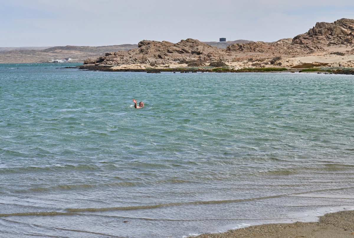
But at least swimming season was open in the little local inlets. The town may be on the 26th parallel south (in the north, think Miami and Dubai), but “thanks” to the south ocean current, the water is really chilly.
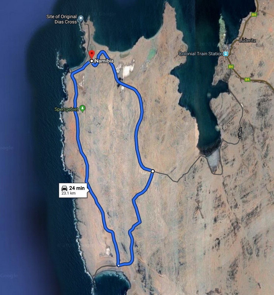
Dias Point, where the Portuguese landed 500+ years ago. They landed and erected a stone cross right here, but over 500 years it was pretty much destroyed by the elements. Here you can see its replacement:
Nothing too interesting yet. Here’s a lighthouse.
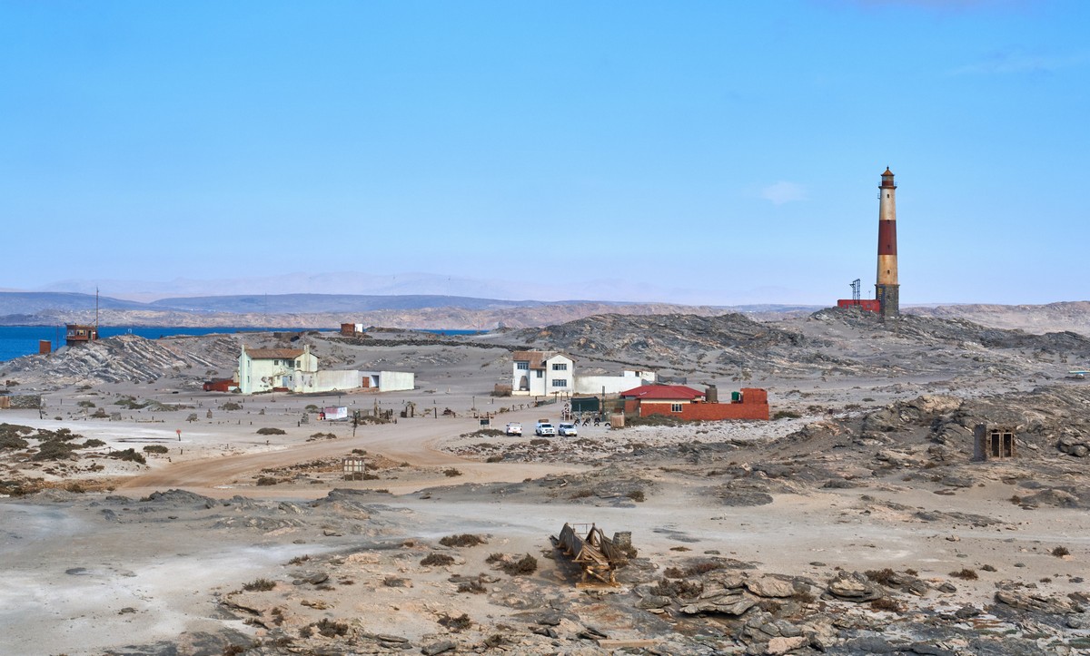
But wait! This ring road seemed great for motorsports, zig-zagging up and down between hills with its blind corners. Perfect for a rally! Someone should tell the town council.
The local islands are also home to all sorts of sea creatures.
But I’d already seen my fill on the Kuril Islands of seals and sea lions, and penguin watching is best on Antarctica. So I wasn’t too impressed.
But the area is good for a drive and does have some pretty views.
Then I noticed the local rock formations. They look like regular sedimentary rock strata… With some white rock layers peppered in what looked a lot like marble. Check out the strata. How does it form like this?
But let’s put a pin in the rock topic, it’s too big to tackle right now. We should wrap things up for today. I’d say a nice sunset is in order :) I’ve looked at these pictures dozens, even hundreds of times now, and they never get old!


