February 10, 2020
Deeper into Namibia: the bluest sky, the Tropic of Capricorn, and odd-shaped aloe & cactii.
Back to the day we checked out exotic birds and geological wizardry…
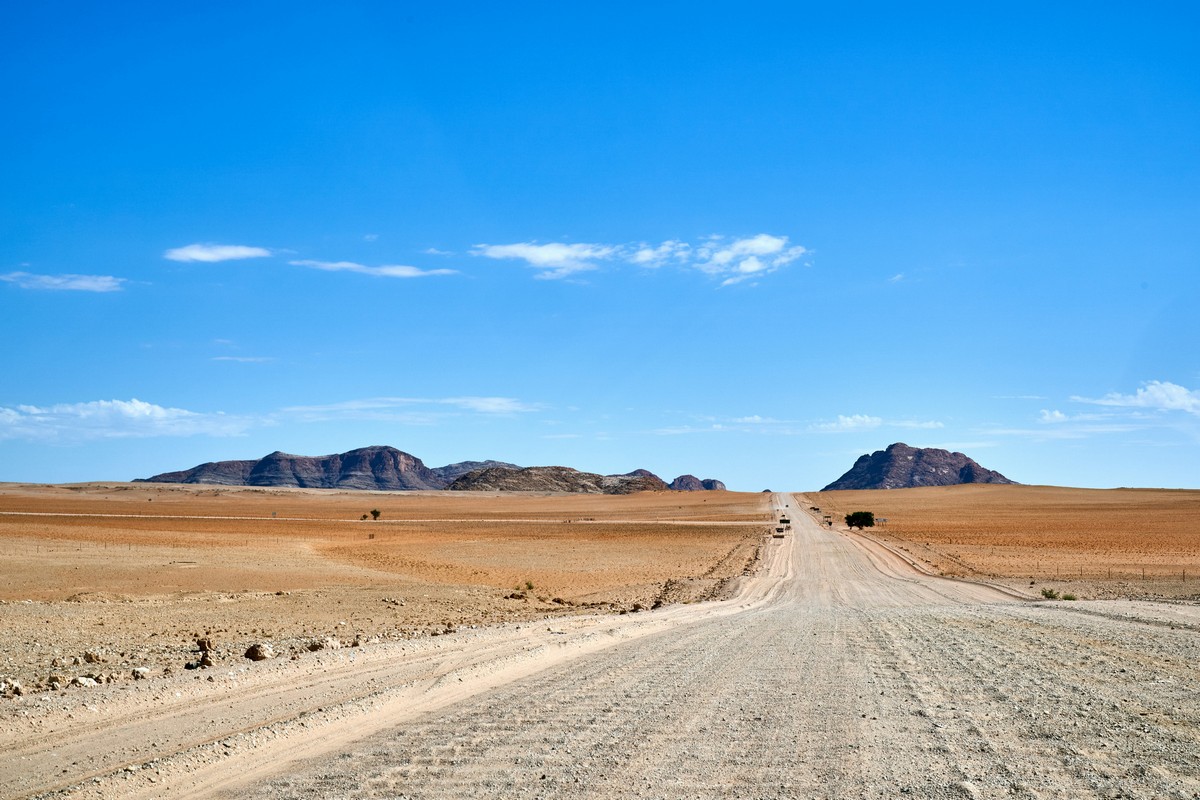
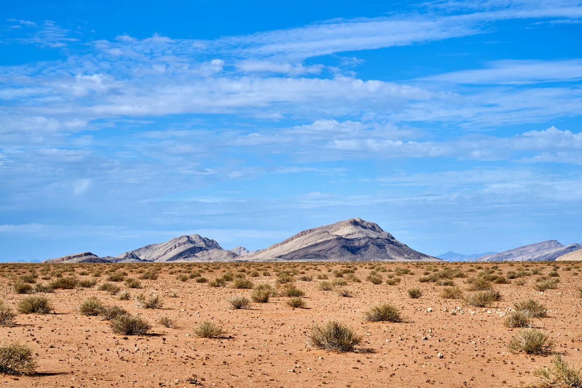
We left Vogelfederberg in the afternoon, but we still had a full 270km ahead of us before we were to get to our next hotel. I wouldn’t have minded, for the sun was out, the skies were bright blue and cloudless, and the desert scenery continued to astound; however, the roads was becoming markedly worse…
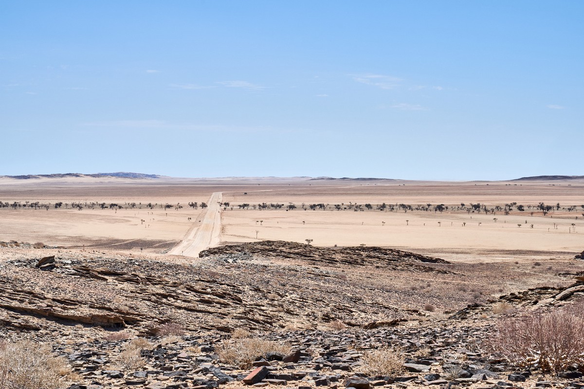
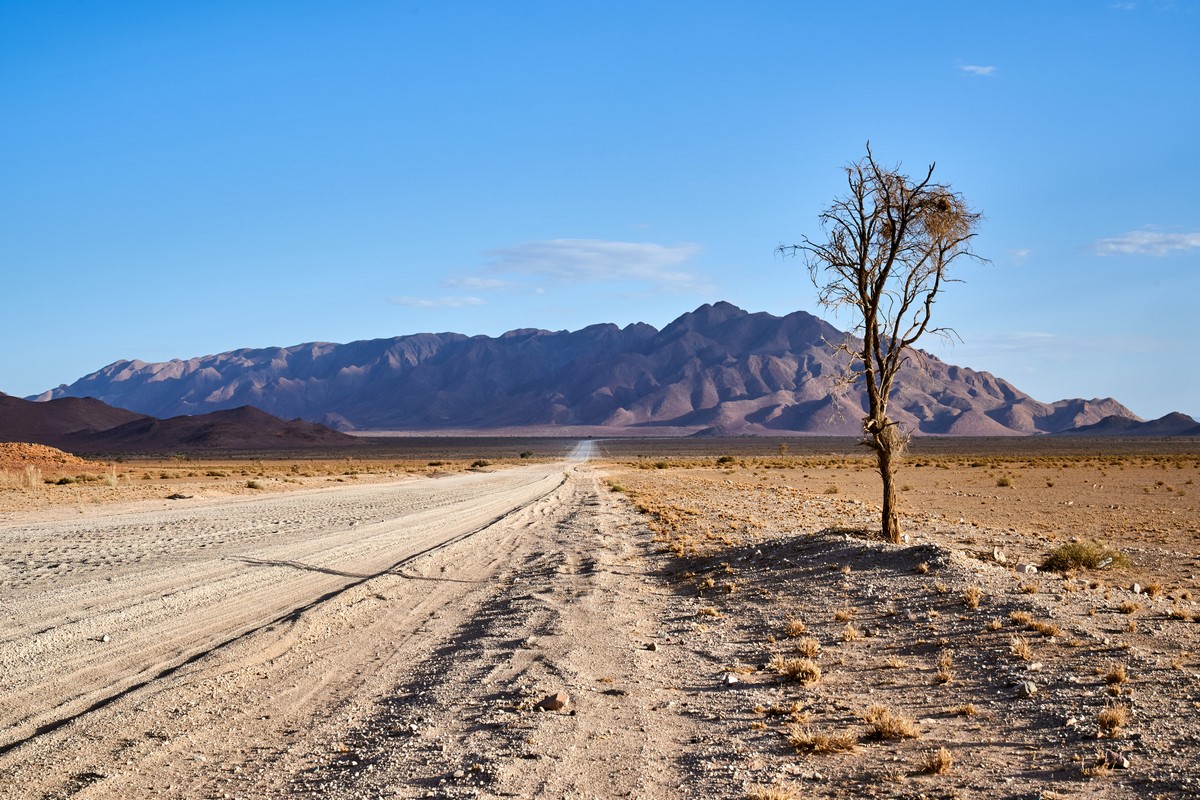
Not that the road was full of potholes or anything; it wasn’t that bad. The problem lay in the way the sand on the road became rather heavily compacted somehow and it had formed itself into little ridges that ran across the road, which just got taller and taller. They seemed to be 15cm tall by our next stop – a ‘beautiful view with trees’ ->
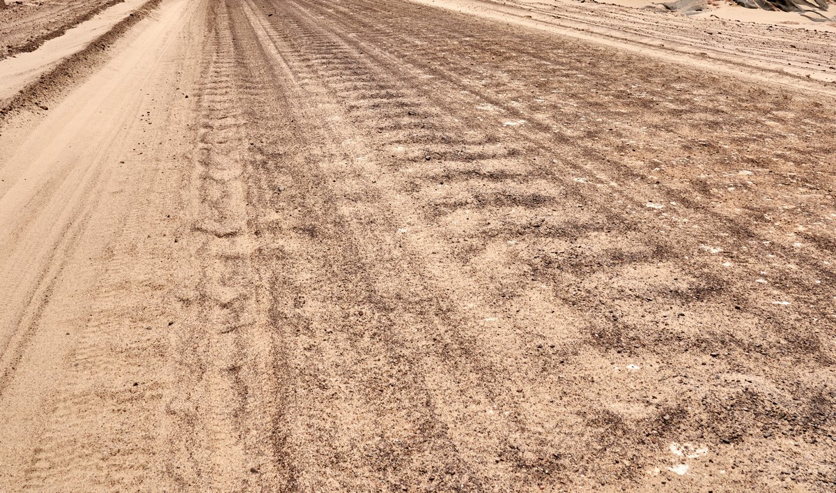
Actually, the above pic was taken somewhere else; however, out of all of the pics of the ridged roads – this one showed them for what they were best. Also, I didn’t have any pics of the crazy-high-ridges-on-the-road as I was too busy holding the steering wheel with both hands trying to control the pick-up!
Funnily enough, I found that the optimal speed for navigating the ridged road was around 80-90km/h! Any slower, and the car would shake so much you kept banging your head against the roof. Any faster was just scary. The sweet spot at 80-90 was where the suspension managed best. But the car wasn’t being ‘driven’ along the road; it was flying low over it! It would glide from side to side also a little too uncontrollably for comfort; it was like driving over the ice of a frozen-over Lake Baikal! Who’d have thought it?!
We had it bad enough in our 4×4. But the other lot – in their mini-van? Best not ask. I’ll just say that when they arrived at the ‘beautiful view with trees’ they were still shaking after they’d left the vehicle, and their eyes were somewhat bulging. Plus, their mood – not the best ). Still, at least, it turned out later, that was the worst stretch of road we’d just driven on. Things got better later.
Anyway – this painfully-anticipated beautiful view with trees…
Here are the trees ->
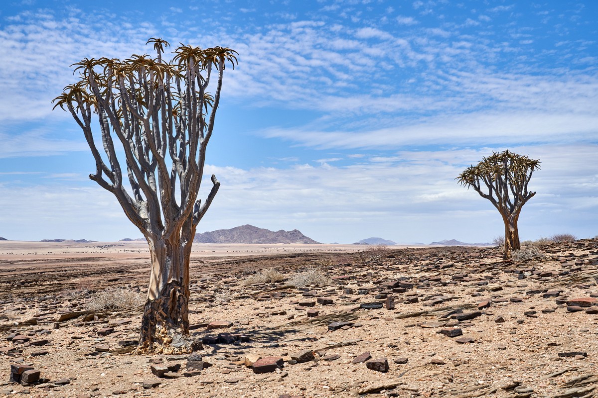
Not sure if ‘tree’ should be used to describe them. Just look at those leaves:


Strangely beautiful. Leaves like on a cactus, or aloe…


Aha! My theory is confirmed! It is ~aloe. Aloidendron dichotomum, to be precise. But there are only three of them here. All alone, in the middle of the desert ). Why? Why here?…


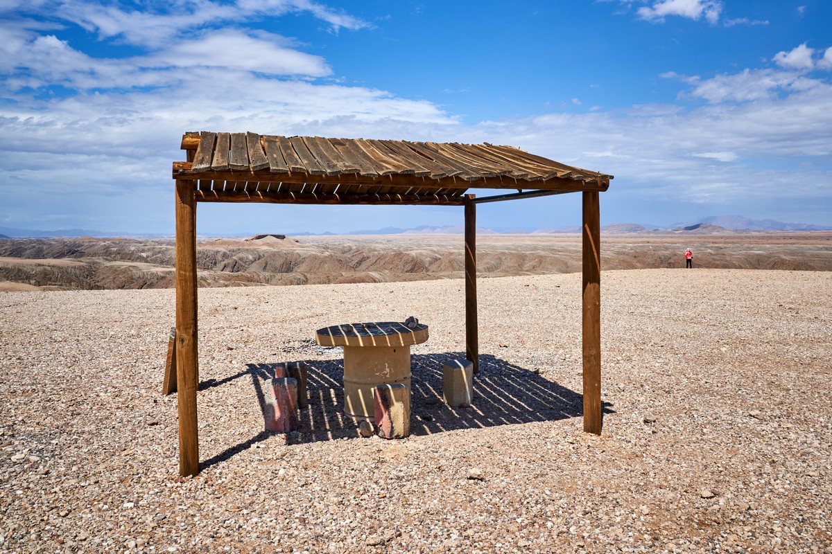
On the map this place is marked ‘picnic spot’. Well, yes, technically, it is! (One thing I liked: no litter to be seen anywhere; no bins either!)
And here comes the mini-bus, quite a while after us. After taking a breather from their bumpy ride at the three trees, we were back on the road. Another 200km to go…
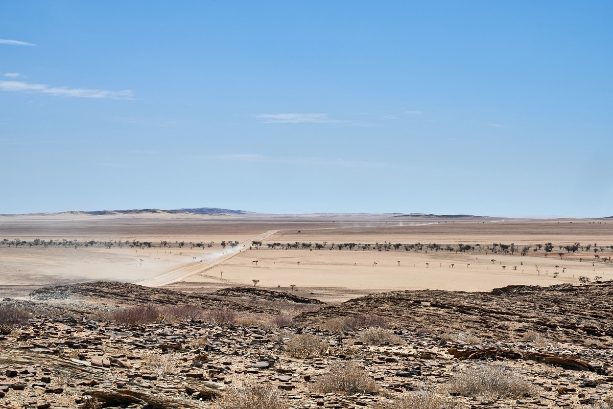
Next up, after 20km, Kuiseb Canyon, formed by the Kuiseb River. Interesting facts there on Wiki: the river dries up seasonally; there’s water in it only during rain season. If the rains are heavy, the river may get as far as the ocean, but that’s happened only 10 times in the last 140 years. And the river has natural beauty at both ends: to the south – the red dunes of the Namib desert; to the north – stony desert. Taking a biplane or chopper along its full length would be a good idea, I reckon; but maybe we’ll save that for next time. Back to today’s menu – Kuiseb Canyon: another marvelous rock formation ->


Somewhere down there – the dried-up river:


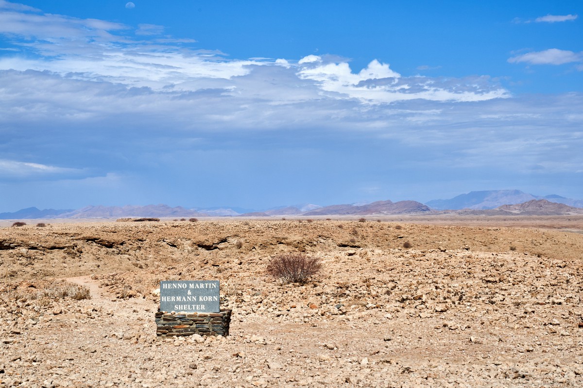
Also here – the Henno Martin and Hermann Korn Shelter. One of our fan-clubbers tells me: ‘It’s an interesting tale: two German geologists hid here in 1940-42 (South Africa declared war on Germany, and all Germans were gradually interned). They survived here almost autonomously, a la Robinson Crusoe. Here’s more detail’.
Again – all sorts of different stones here. Red, white (marble?), all pressed together into one big mass. How?


The road starts to meander, and then descends – we need to cross the ‘river’ to travel further south…


Here we are on the road right next to the river. Nicely asphalted.
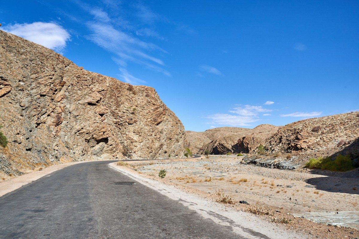
The road takes us up top, and we’re back to the customary incredible scenery again…
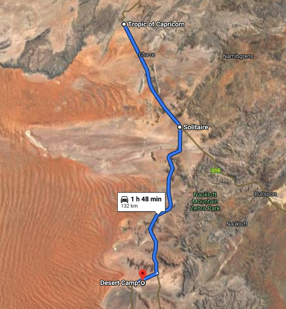
Next up – the Tropic of Capricorn! I’d crossed the Tropic of Capricorn plenty before, but always in a plane. This was the first time I was able to walk along it!


It made me want to write about the various parallels that cross the globe. But I’ll get to that another time…
Meanwhile, we head on…
…And come across – a cactus. All on its lonesome, in the middle of the desert! Again – why? How? Why here? Why just one, not a whole ‘field’ of them?!


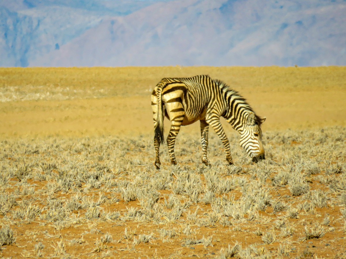
On and on and on. 80km left. And we see – a zebra! Not a crossing, a real zebra! And yes – it was all alone. This pattern – for everything – is getting bizarre!
We take a turn, toward the Namibian dunes – and come to a place called Solitaire:
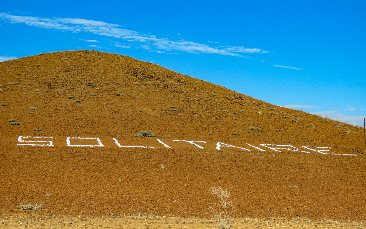
Filling station, village store. Just as well: there won’t be another filling station for hundreds of miles! We pass Solitaire Lodge; we were booked in somewhere else…


Namibian gas stations can be interestingly decorated:


A young baobab!
We head out on the last stretch of the day…
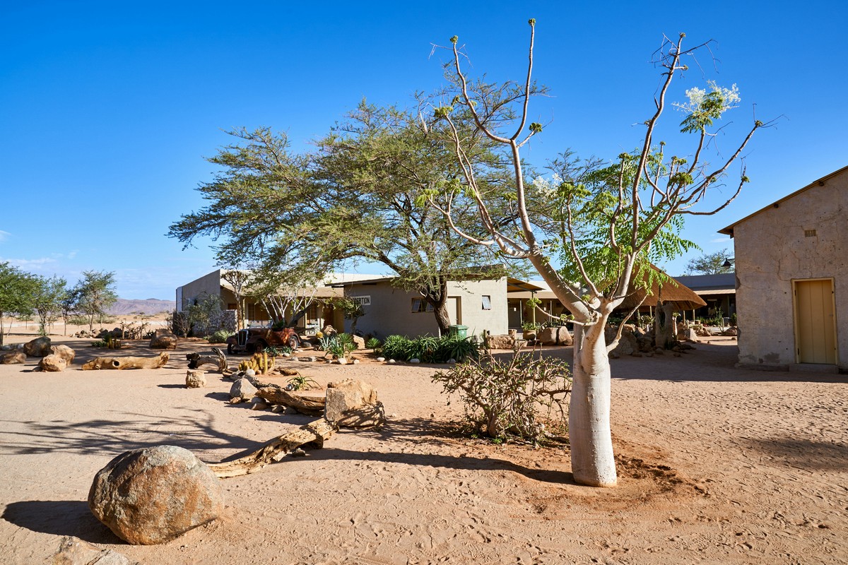
…And finally arrive. 400km covered today. Phew. Like this:
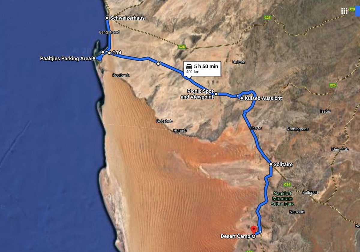
And all in one day! Here’s the full route again:
A long day; a memorable day; an amazing day in Namibia. We showered, met up for dinner and photo-sharing, and to bed. Tourism till you drop, remember?!
All the pics from Namibia are here.

