May 12, 2023
Our trek up to the (Nepalese) South Base Camp on Mount Everest: warm-up.
Greetings boys and girls!
Been a while, I know. But of course it has – I’ve been more than half-way up Everest! I’m not joking either )…
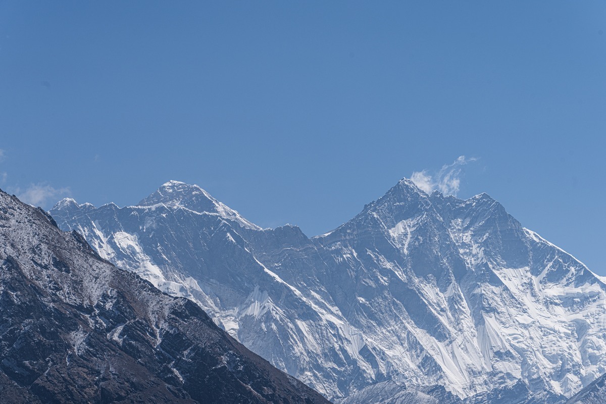
Indeed, I was fulfilling a long-held dream of mine – getting up to the southern Base Camp of Mount Everest – the one in Nepal. I’d already viewed the world’s highest point from the northern – Chinese – side when we took a road trip across Tibet (via China) in 2019. Well now the time had come to check it out from the other side. And here it is – the peak of Everest (left of center) ->
In short, we gave our bags to Sherpas to carry, put just the bare necessities + the all-important photo-video equipment into our own backpacks, and off we popped. And we made it! Not all, but many of us )…
In all it was a somewhat… ambiguous expedition, but more on all the (interesting!) ambiguity later. For now, as per tradition – intro-post with some of my best photos from the adventure ->
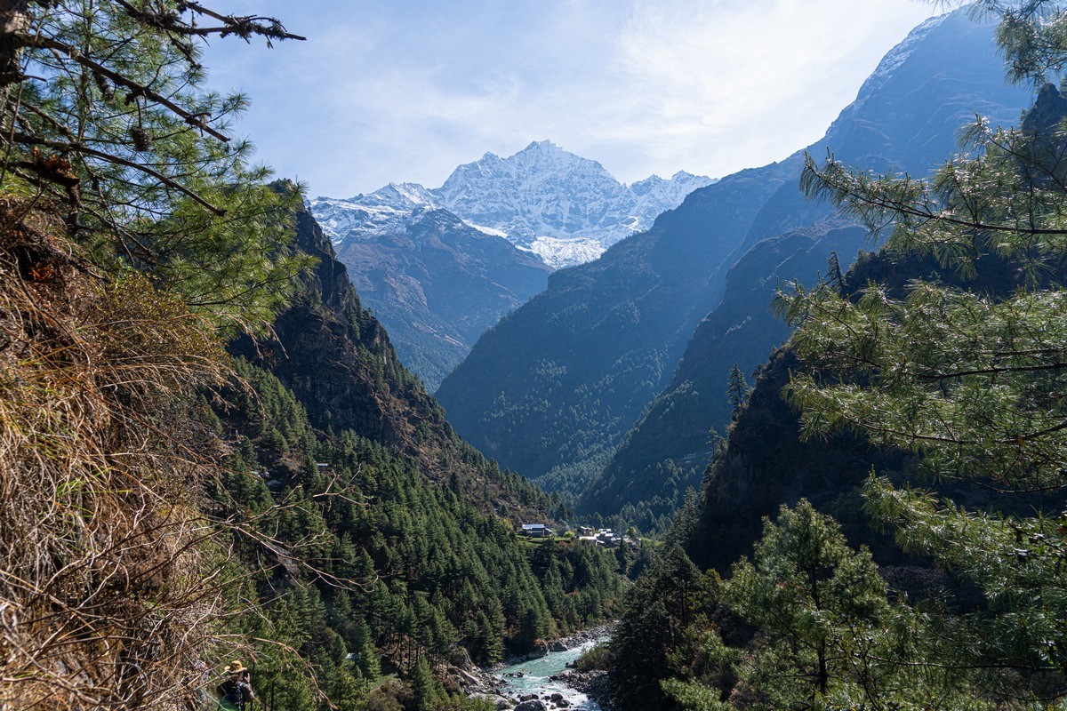
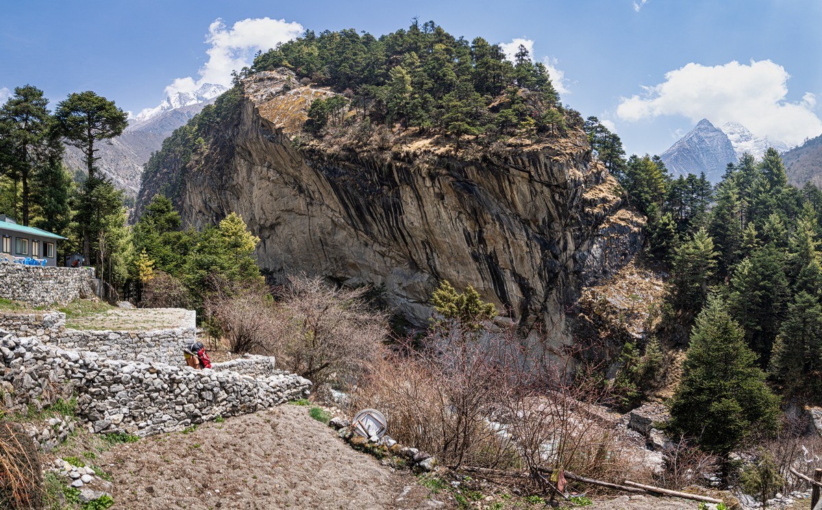
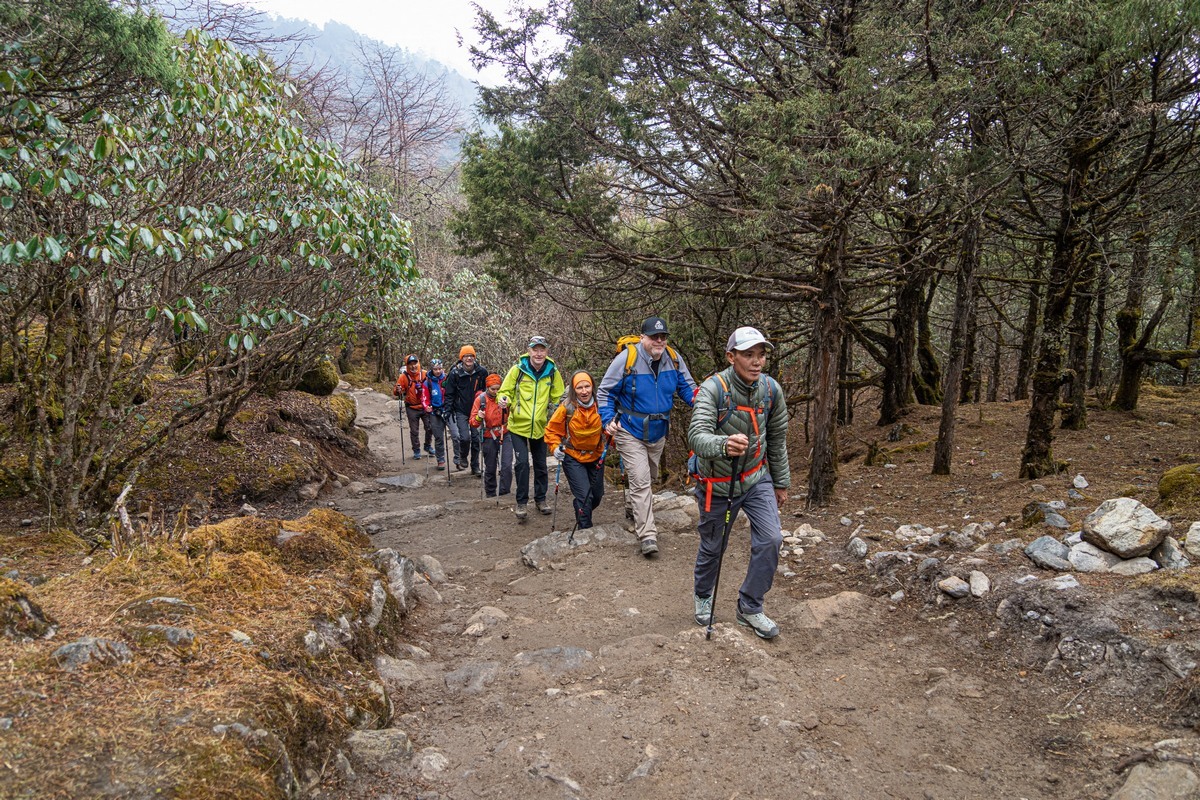
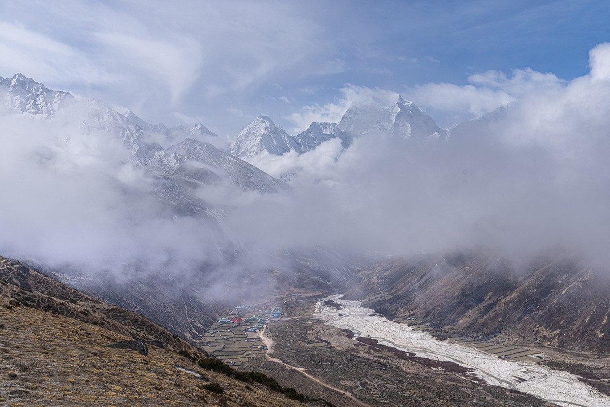
Around half the route of the path (here called a trek – noun, in addition perhaps to the verb) to the Base Camp passes through the picturesque valley of the Dudh Koshi river (down which they raft, it turns out!) ->
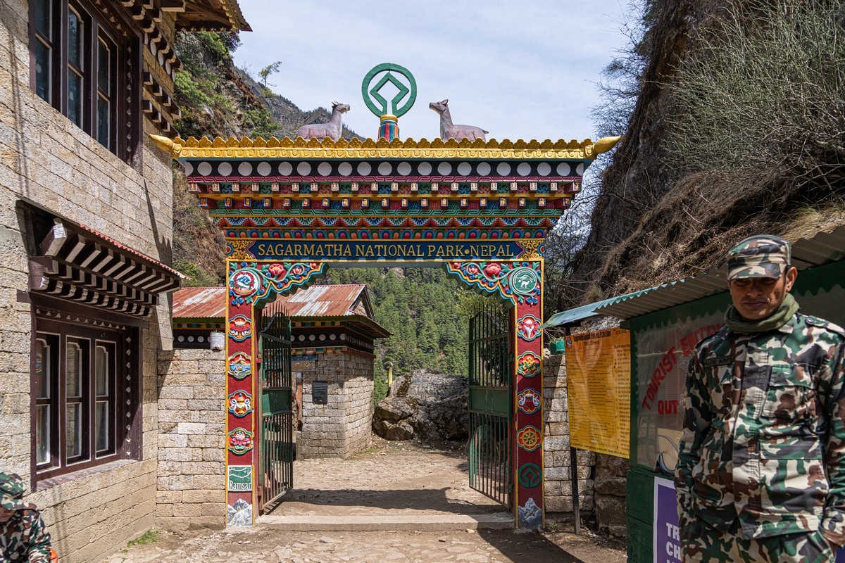
The trek runs through a national park – all supervised, with entry only with pre-ordered passes:
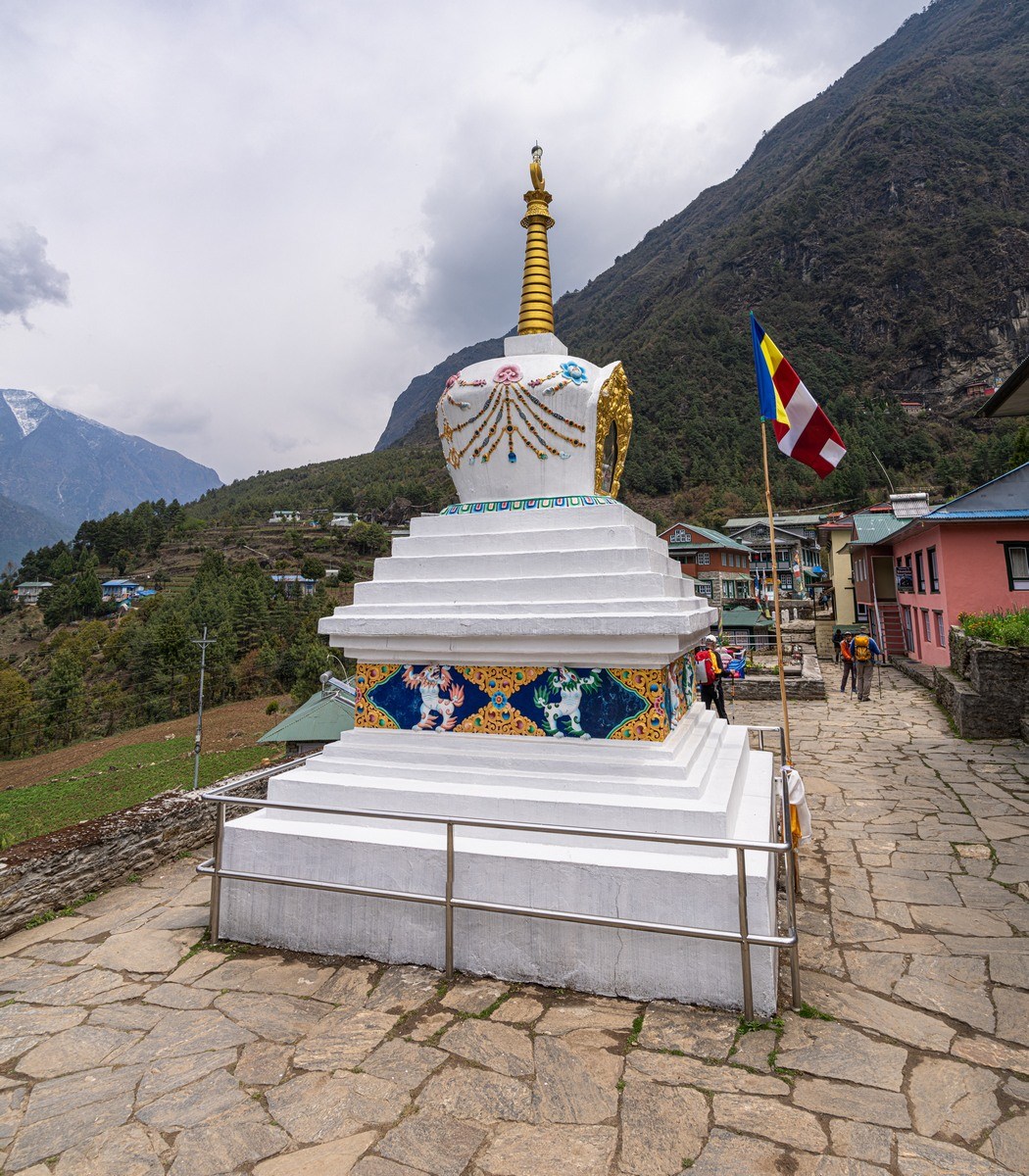
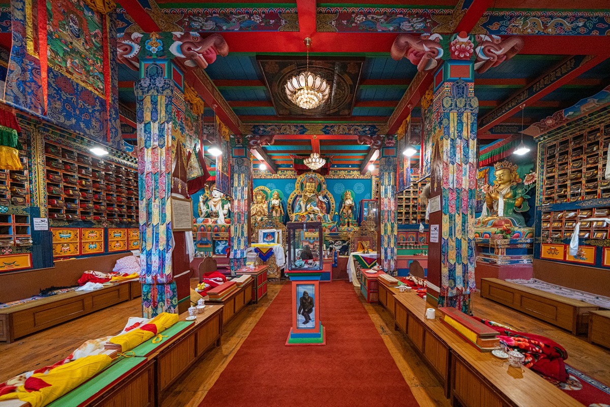
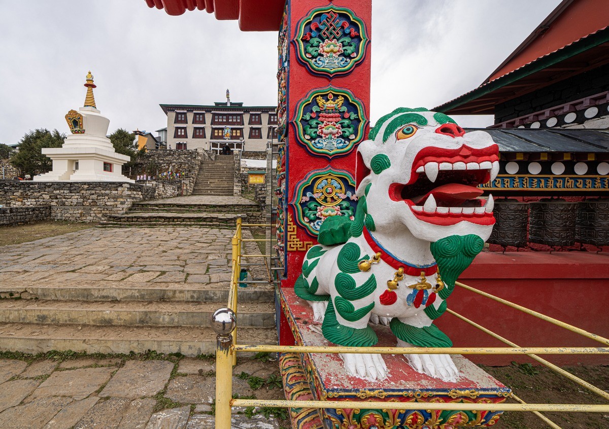
After the valley there’s a reasonably easy stretch of the trek that takes you comfortably the remaining two-thirds of the way up to the Base Camp. Along the way you get to see authentic villages, Buddhist temples (which you can enter for a look around – recommended), and also stupas and similar constructions, which you must pass – strictly – to the left:
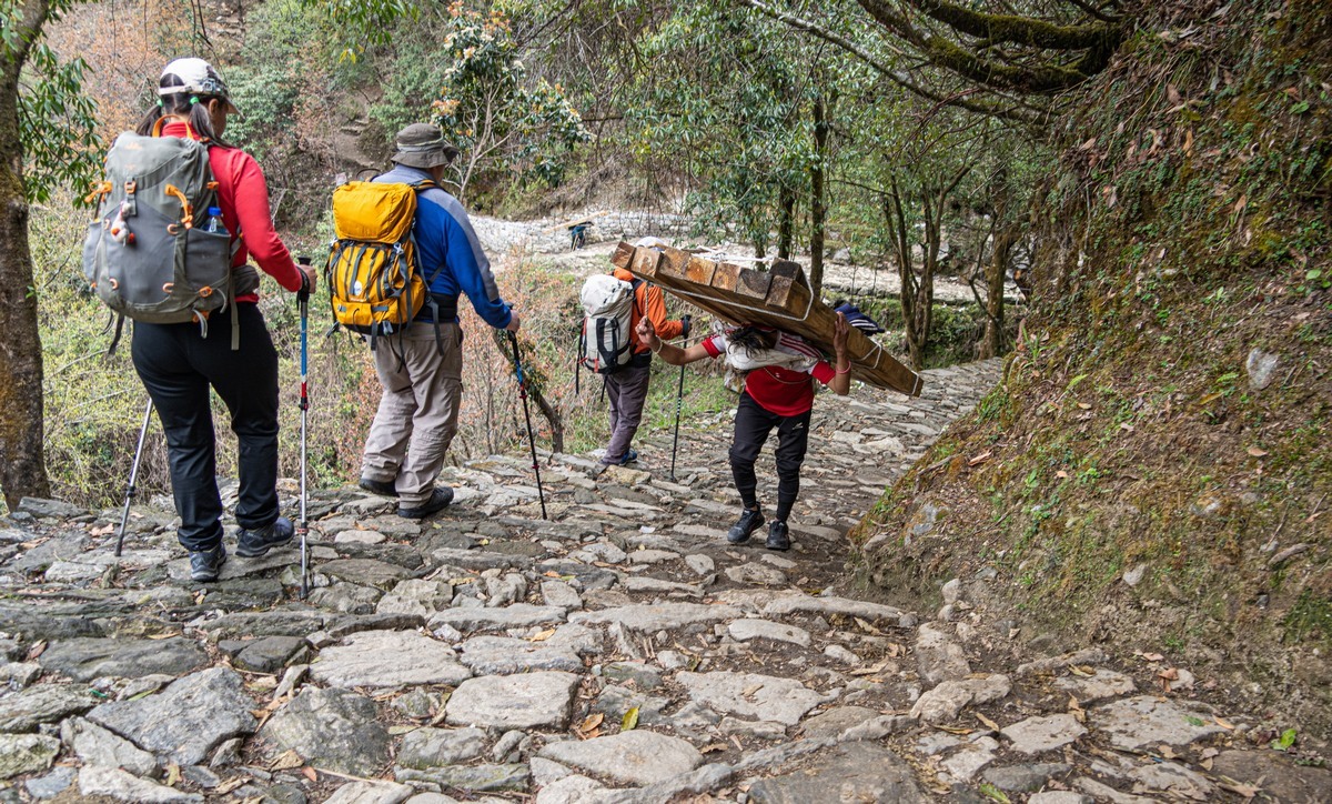
Occasionally, folks pass you walking in the opposite direction with heavy wooden beams/pallets on their backs. Are they just heaving cargo, or is it some kind of ritual?… ->
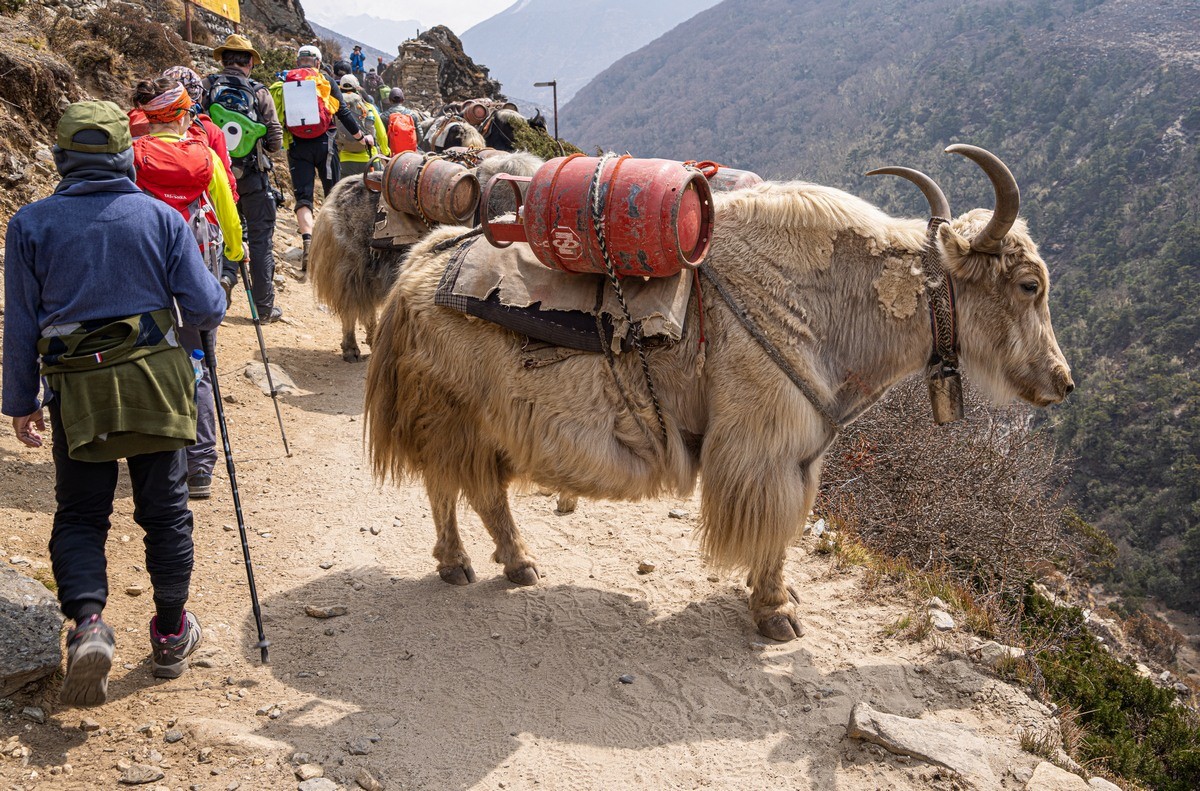
One thing needs pointing out straight away is that there’s no motor transportation here at all: no roads, no vehicles. It’s all your own two feet. But since I’m a fan of walking, and we’d scheduled sufficient time – that’s fine by me. For the less patient well-heeled tourists there’s another option – helicopter; while for the less physically active and fit there’s another: on the back of yaks/horses/mules.
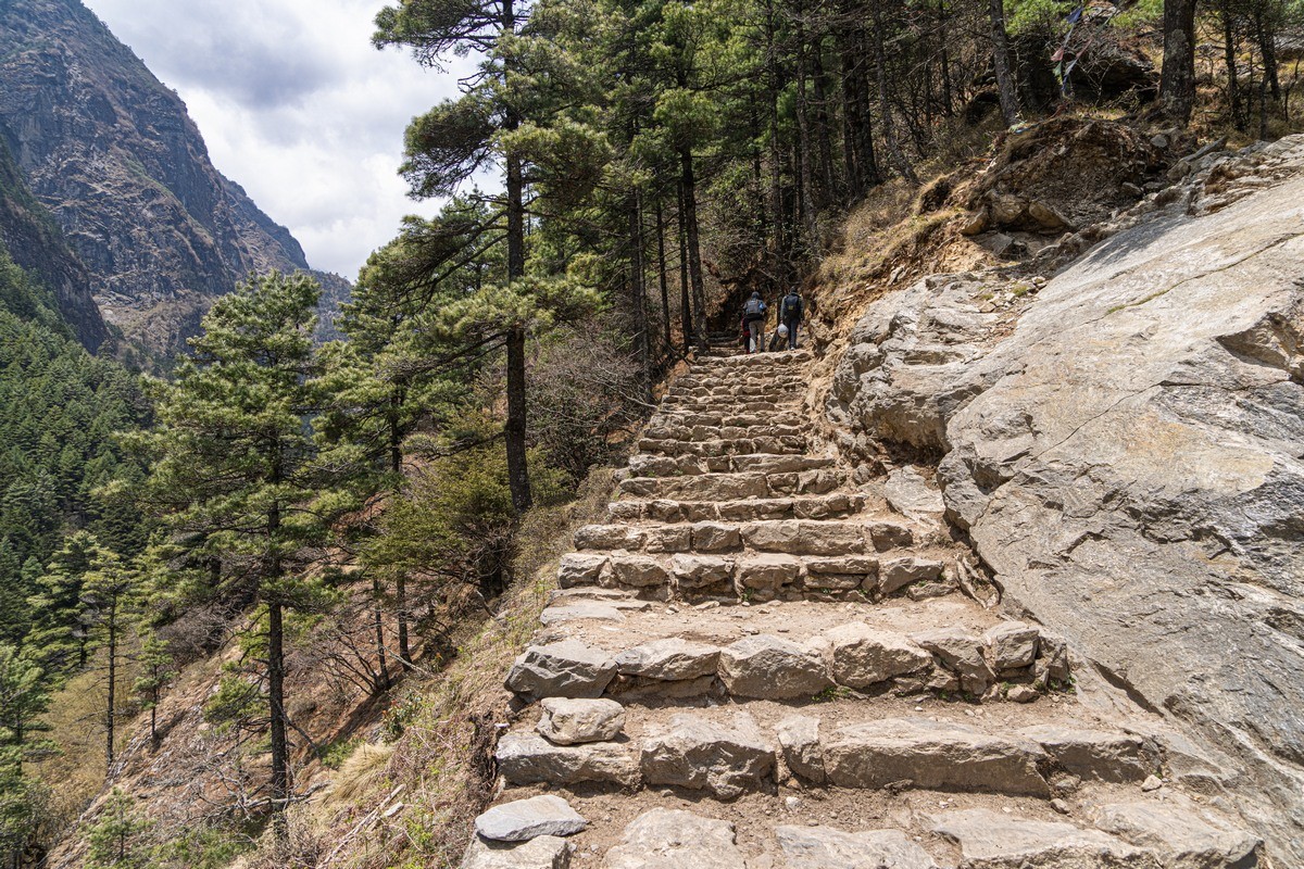
In places – handy steps:
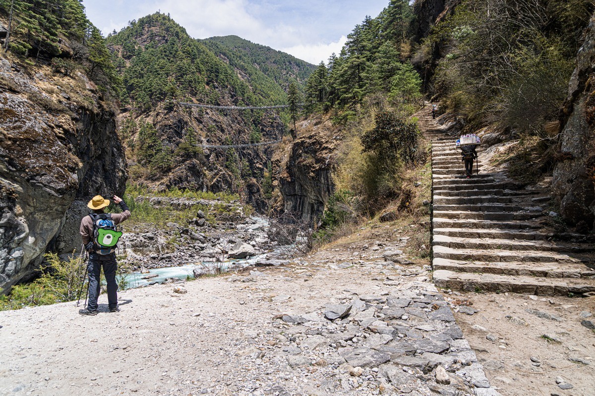
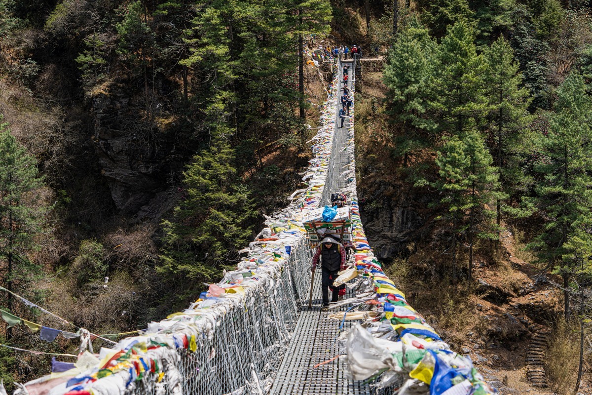
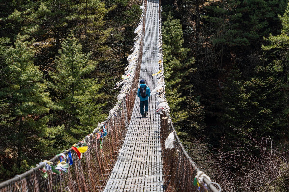
In other places – colorfully decorated footbridges:
Vertically, we probably covered some 3500 meters. That includes the ascents after respective descents. Not bad at all!
Each day we covered around just 10 kilometers – sometimes less. Not all that much; however, what with the just-mentioned plenty of ascended meters, plus (let’s remember where we were – approaching a base camp of Everest!) the not insignificant fact that we were 5000 meters above sea-level (= high-altitude-related trickiness), in all, this was a toughie. What I didn’t quite get was that the trek we took is considered to be the “pensioners route”. That makes it sound way too easy; it isn’t – believe me! Still not sure? Then get this: one of my fellow trekkers had a smartwatch (with step-counter, pulse-measurer, all that), which, given his physical exertion over the recent few days, informed him: “Body’s resources left: 5%; relaxation time needed: 72 hours”!
I fully agree with said smartwatch: upon arriving back home my body was simply beat: I did nothing but sleep – with just a few intermissions for light bites to eat – for a full 30 hours!
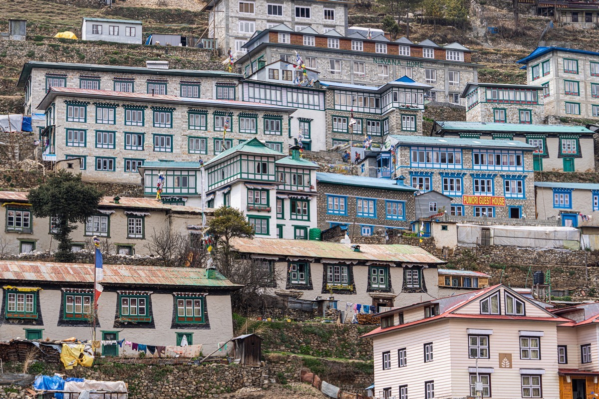
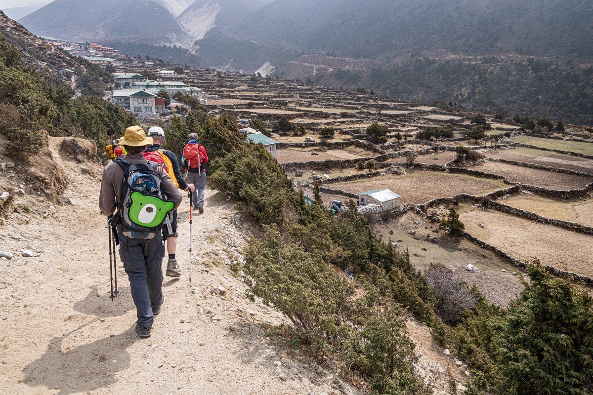
The villages along the path all appear to be recently built: it seems that the mountain trekking boom is paying off. As to our experiences staying in path-side guesthouses – I’ll tell you all about those in a separate post…
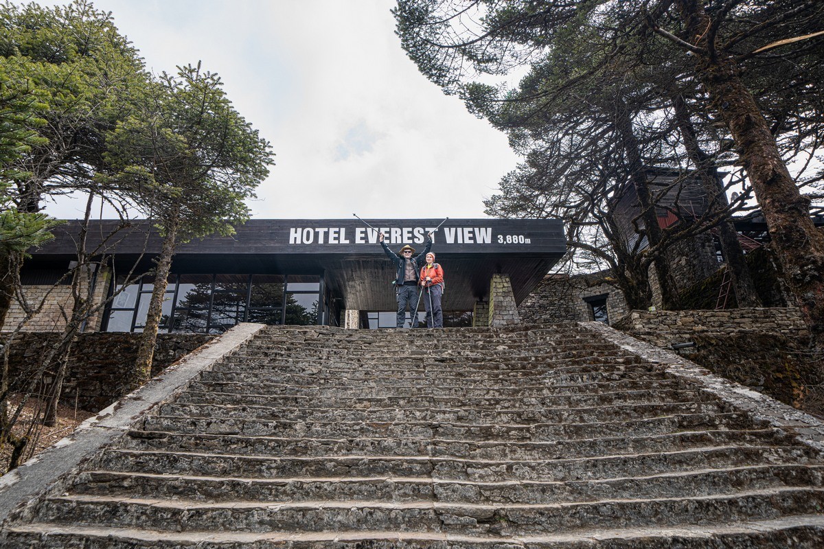
Meanwhile, the altitude’s climbing: first four kilometers above sea-level, then five…
Some of the Buddhist temples permit photography – but not many…
City-dwellers see a yak! ->


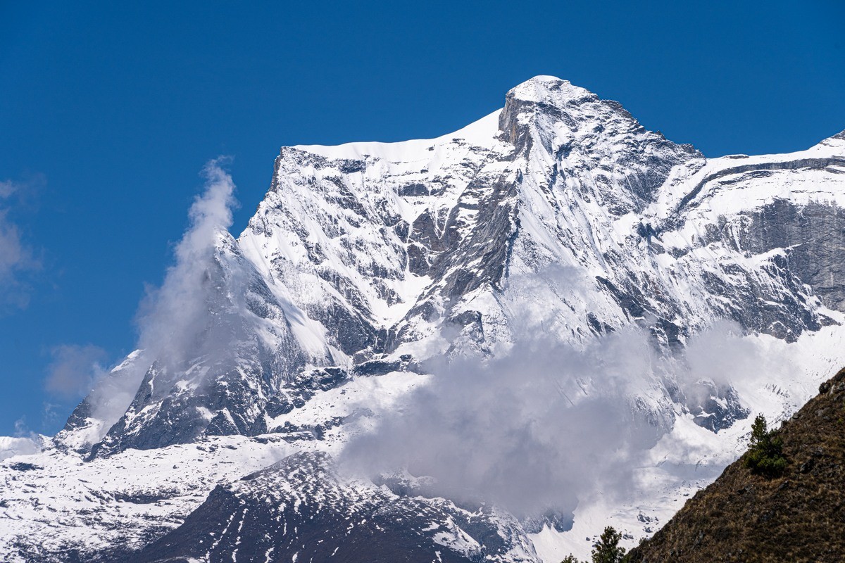
The Himalayas with a clear blue-sky backdrop – wow! ->
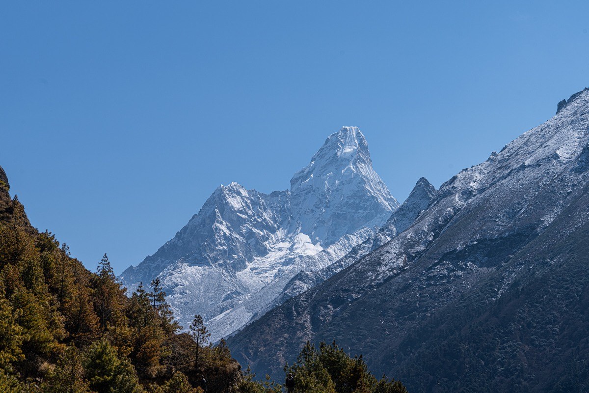
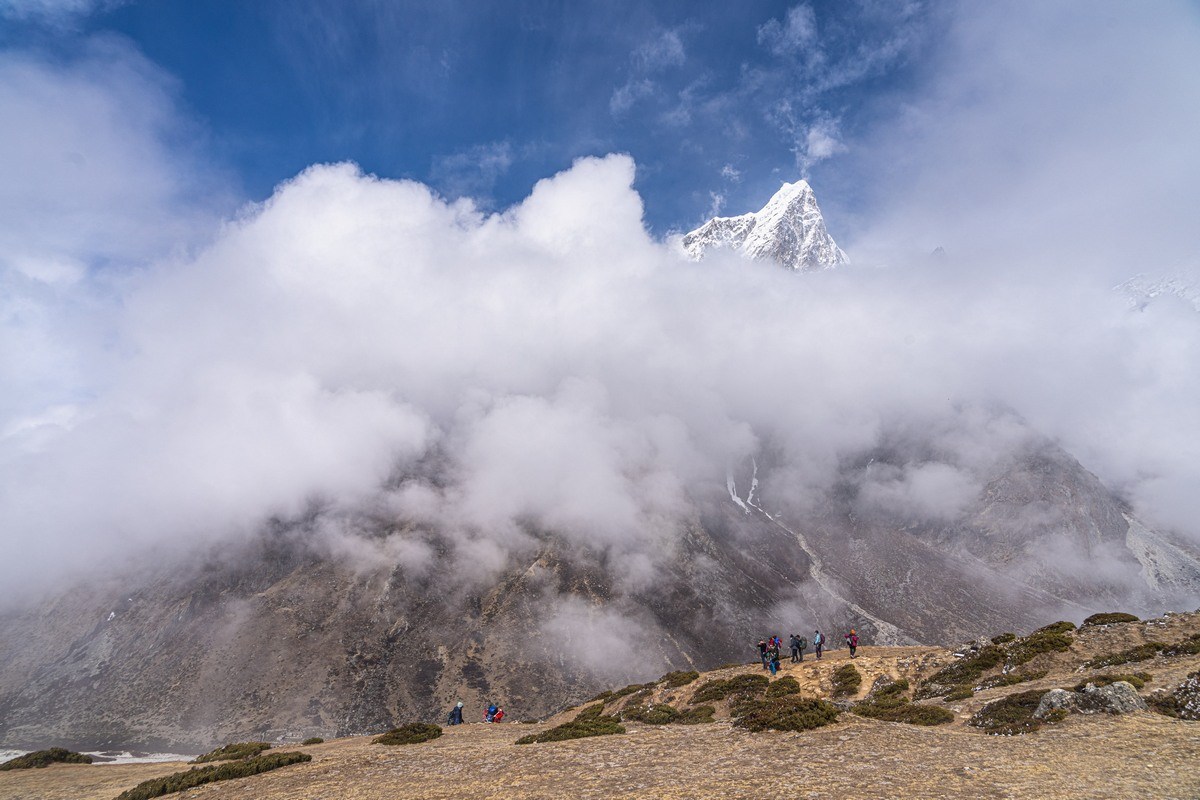
One of the most beautiful Himalayan mountains – Ama Dablam:
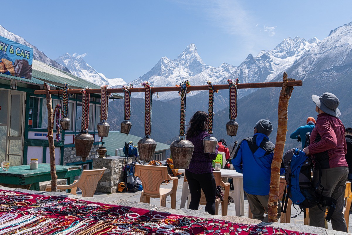
Café and souvenirs along the way…
Onward…
Some of the scenes: wholly meditative ->
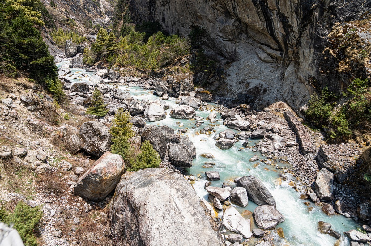
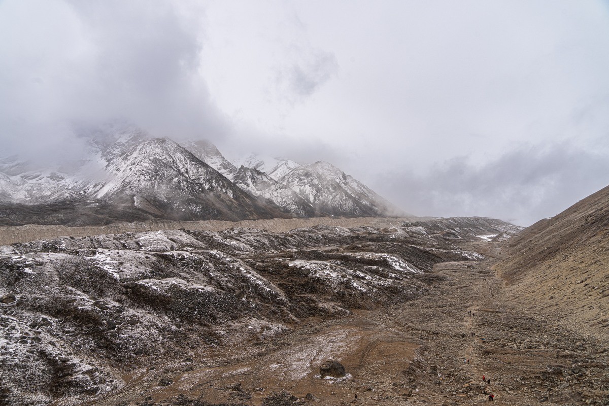
“Glacial milk” – formed by mountain material being ground down by the glacier:
More temples:
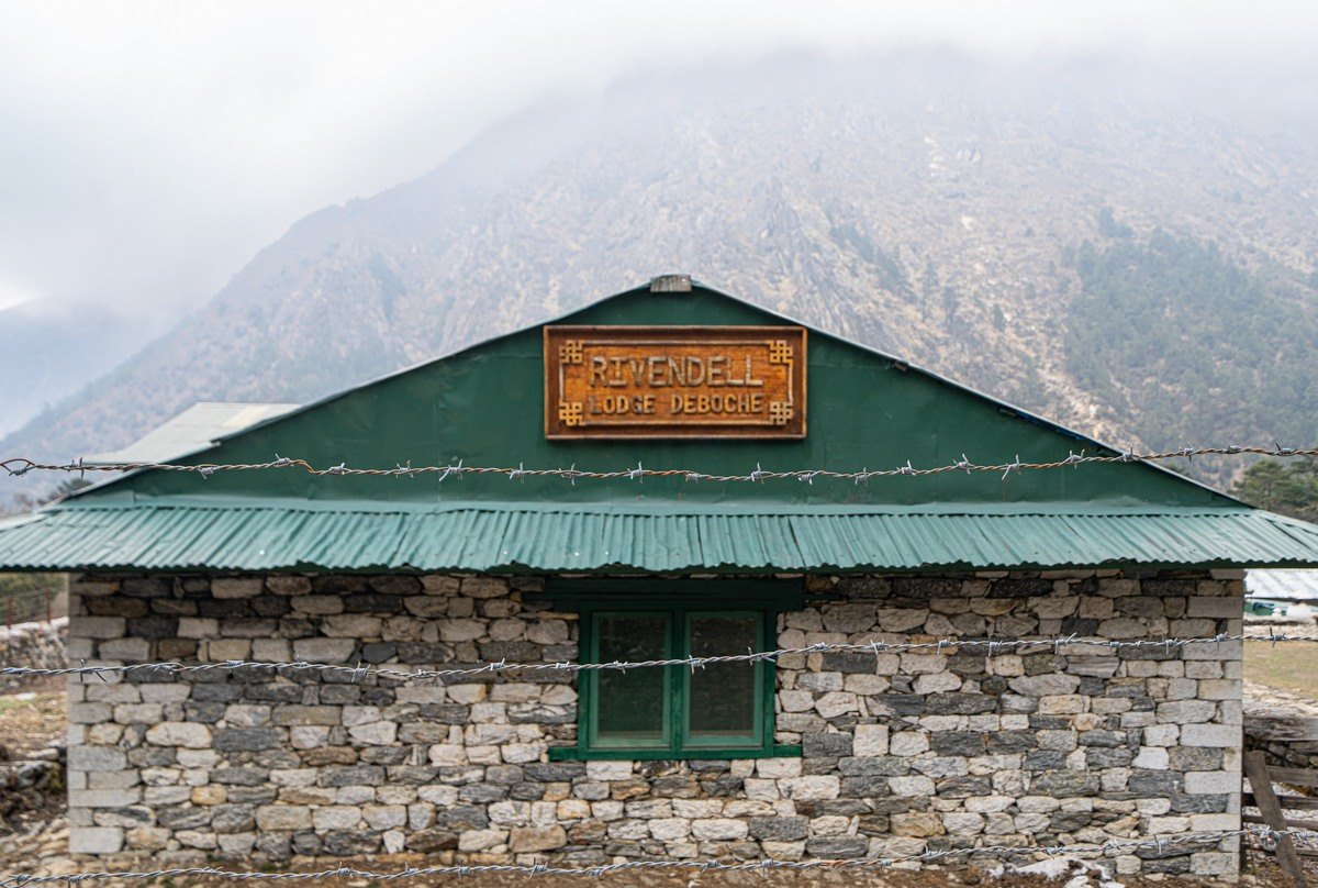
The Rivendell guesthouse. What’s inside – later. For now, check out the barbed wire all around it! ->
Up we go; non-stop steps: tough!
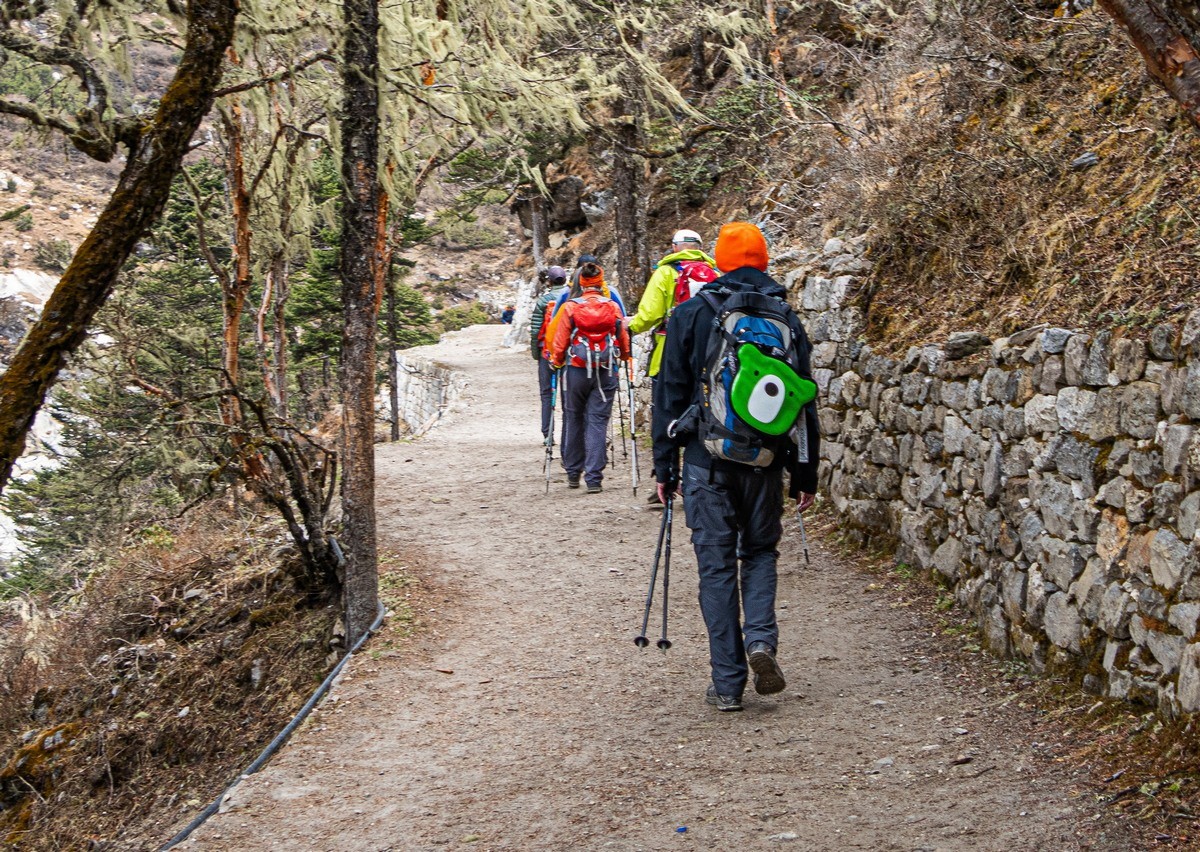
Our beloved Midori Kuma along for the ride – of course! ->
The forest cover begins to peter out as we pass the 4000-meter mark:
Suddenly – snooker! Half-way up Everest!! ->
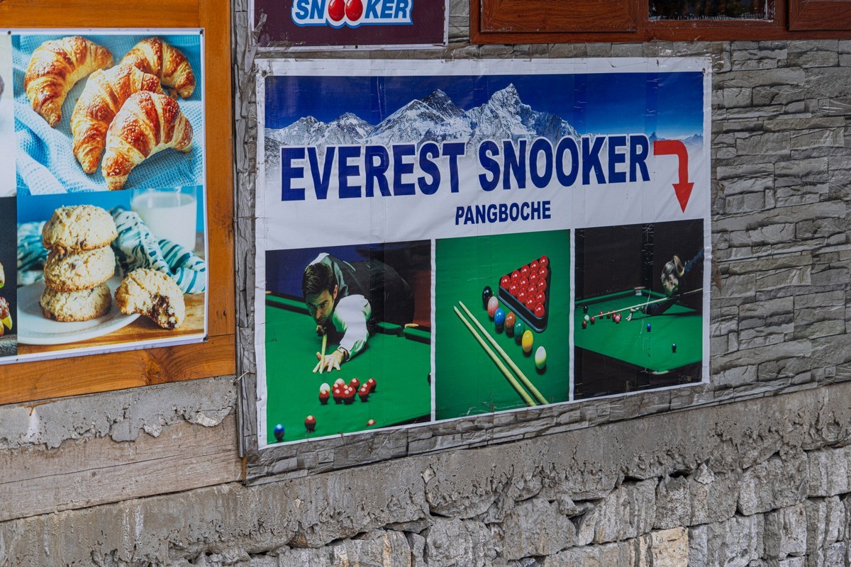
…Really! ->
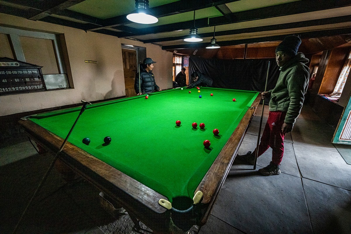
…But more about that another time.
Meanwhile – onward; rather – upward! The climate becoming all the more severe; the yaks becoming all the more woolly:
The earth scenes all the more brutal:


Rather bracing up here – windy, and yes – that is snow:
But we continue up and up and up…
Moraine lines:
Gorakshep – the last village before the Base Camp:
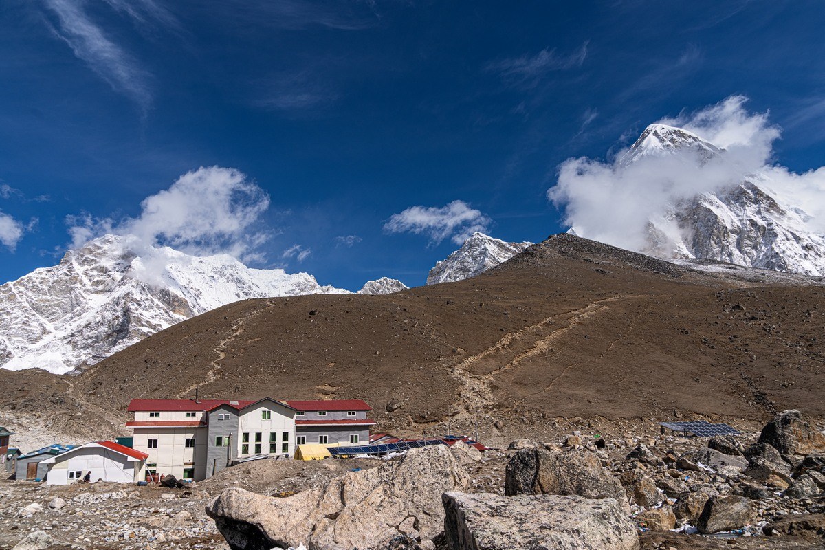
And somewhere over there – Everest’s peak:

But that’s all for today folks: hope you’re duly warmed-up. We sure weren’t warm at Gorakshep )…
Stay tuned; more coming up soon!…
The rest of the photos from our trek to the Everest South Base Camp are here.

