Tag Archives: bolivia

Lat-Am places-to-stay – what can I say?!

Ok folks… time to share my impressions of the places we stayed at during our January trip through Latin America

Overall, everything was excelente! The only trickiness came on the Inca Trail: we had to spend the cold nights in sleeping bags in tents, but, given the lack of hotels up there, what else could we do? Still, the amazing huge meals we were served on the Trail made up the tents thing; but back to the excelente bits…

Naturally, in urban locations, we tried to stay in decent places – if there were rooms available: unfortunately, we only made the final decision to go on our LatAm-2025 trip about a month earlier, so accommodation wasn’t always available (also: permits to climb Huayna Picchu, next to Machu Picchu, were already sold out). The moral: book everything well in advance!

In both urban and even rural areas you can find quite decent places to stay. Here, for example, is the courtyard of our hotel in Cusco, in the Spanish colonial style:

Read on…

Altiplano – lagoons, unique rock formations, and flamingo!

Part 0: Introducing Altiplano: first an appetizer-intro

Next up, southwest of the Uyuni Salt Flat – the Altiplano Plateau and the Bolivian section of the high-altitude Atacama Desert. We had only two days to explore these imposing landscapes, and to cram in the maximum amount of uncrammable experiences we had to switch to our now-familiar “tourism till you drop” mode. Even still, that turned out to be way too little time for such a vast territory – especially considering the slow pace on roads that barely qualified as such. To explore everything thoroughly and walk at a leisurely pace, you should really reserve at least three days. For there’s plenty to see: highland plains dotted with multi-colored volcanic cones, salt and freshwater lagoons with pink flamingos, bizarrely-shaped rock formations, hot springs and bubbling geothermal fields. A truly worthy destination! Let’s go!…

Our route went like this (the original’s here) ->

Read on…

Bolivia’s Uyuni Salt Flat – don’t forget your wellies and hat!

Fasten your seatbelts – in every sense! We’re flying to an absolutely mind-blowing place – Salar de Uyuni, or the Uyuni Salt Flat in Bolivia!

The distance from La Paz to Uyuni by car is only 540km, but Google Maps claims the journey takes a whopping eight hours – for Bolivian roads are far from speedy highways. That’s why most tourists opt for a flight. Plus the view from the plane window is stunning; just be sure to sit on the right side.

Just after take-off you get a great view of El Alto (whose airport is at a dizzying altitude of 4061 meters!):

Then come colorful desert landscapes with volcanoes on the horizon:

And here it is – the salt flat! The opposite shore is a staggering 120km away – the visibility is incredible! The view of the lake is breathtaking…

Read on…

Enter your email address to subscribe to this blog
(Required)

Down Bolivia’s Death Road on bikes – in a word: yikes!

Next up on our LatAm-2025 trip, not far from Bolivia’s de facto capital, La Paz, there’s the unique tourist attraction known as Death Road. It’s around a 30-kilometer stretch of the “Old Death Road” (I’ll explain why it’s called that later) that runs through extremely dangerous yet breathtakingly beautiful mountains. And we were going to experience it on bicycles. And I reckon it’s worth flying to La Paz just for this bike ride alone…

Briefly – an overview…

First, I repeat, it’s breathtakingly beautiful:

Read on…

Bolivian archi*tech*ture. Who knew?!

Farewell Titicaca, and I hope we’ll meet again. Meanwhile, our January journey through Latin America was heading deeper into Bolivia. Destination – La Paz

La Paz is Bolivia’s second-largest city (if we exclude suburbs) and also the de facto capital of the country – though de jure the capital is Sucre. Yes – there’s a bit of confusion here re the cities, but this post won’t be about Bolivia’s administrative divisions; it’s about something much more interesting (and unusual). For here in Bolivia there are some truly fascinating sights. But let’s take things step by step…

One of La Paz’s suburbs is the urban area of El Alto. If you look at a map, the size of this “suburb” actually surpasses that of La Paz itself, with its population having (probably) already exceeded a million. Given that El Alto is situated at an altitude of over 4000 meters, it’s the highest-altitude city with over a million inhabitants. From a plane, it doesn’t look particularly impressive. And if you take a closer look – yes, it’s quite obvious that the income level per capita here isn’t very high ->

Of course, one could focus more on the surrounding views of the city:

But if you pay attention to the buildings along the streets, you might notice something unusual:

Read on…

A perfect Lake Titicaca afternoon – on the Islands of the Sun and the Moon.

Our LatAm-2025 journey continues: farewell Peru; hello Bolivia!…

We begin in this country at Lake Titicaca – its Bolivian side, since we’d just explored the Peruvian side.

Mediterranean-like (in appearance), oxygen-deprived (altitude: nearly 4000m), and really quite fascinating!…

There isn’t all that much to fully contemplate-meditate upon here on the Islands of the Sun and Moon. All the same, these are still iconic places rich in history: legend has it that, on the former island, the first Inca (the founder of the Inca Empire) Manco Cápac (and his wife Mama Ocllo), first appeared to the people. That’ll do for me; so, at least once in my lifetime, I figured I just had to get here and immerse myself in the place and its history – and landscapes. And the place turned out to be really very pleasant – it seems to invite you to settle down, calm down, sit on a bench, and meditate on the view ->

Read on…

How to organize a highly-complex vacation: LatAm edition.

So how do you go about planning and preparing for complex vacation on the other side of the world, with a complex route for getting there, and then a complex itinerary once in situ?…

And I don’t mean the simple “jump in a taxi, train or plane, and travel where you’re going and figure it out on the fly, whether it’s St. Pete, Sochi, Yalta, or maybe Monaco, Venice, Barcelona, Miami or LA (or wherever else, depending on where you live)”. No, not like that. What does it take to plan a more sophisticated travel itinerary?…

Now, I’m not claiming to be an expert, but here’s roughly how it works for me:

  1. Pick: the places we’re going to visit; what we’re planning to see, admire, and snap; plus any extra side-dish (or totally random) activities to be partaken in.
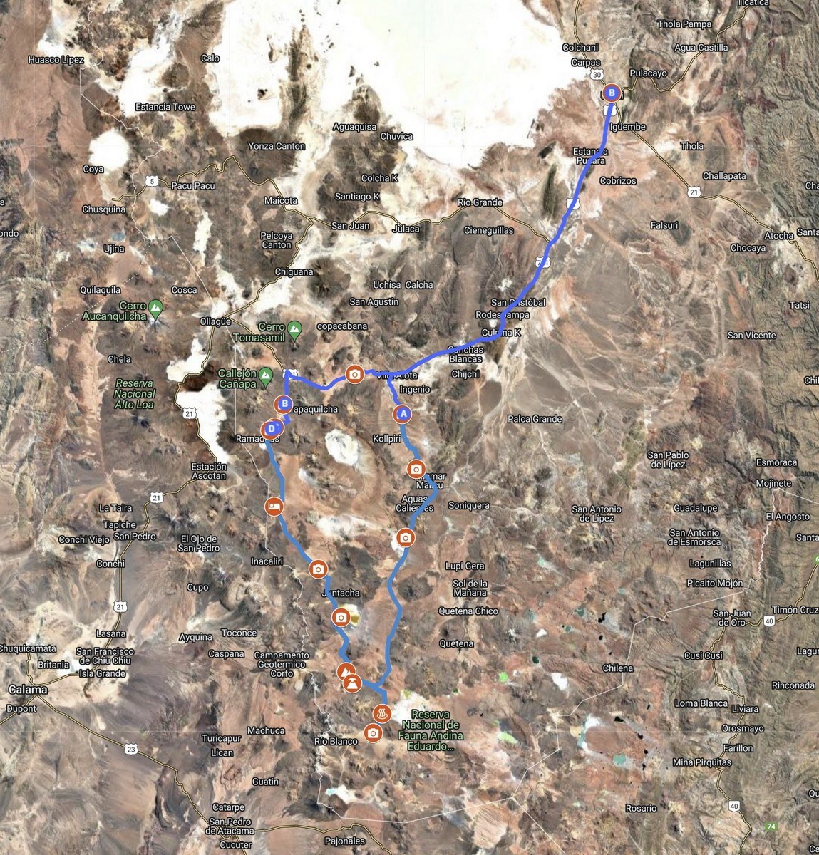
  2. Find someone to organize it all, because let’s be honest – we hardly know anything about these places besides their names. This is where the travel route gets mapped out. Usually it’s a mix of advice from those in the know, local contacts, and a travel agency (sometimes more than one).
  3. Figure out how to get there and back – which isn’t always straightforward or optimal.
  4. Set the budget for the whole thing. And prepare to disappoint those involved in Step 5… ->
  5. Recruit a few other similarly crazy individuals (or just folks who’ve no clue what kind of hardships and misadventures await) so the trip doesn’t get too boring and lonely.

And that’s it! Then we just go…

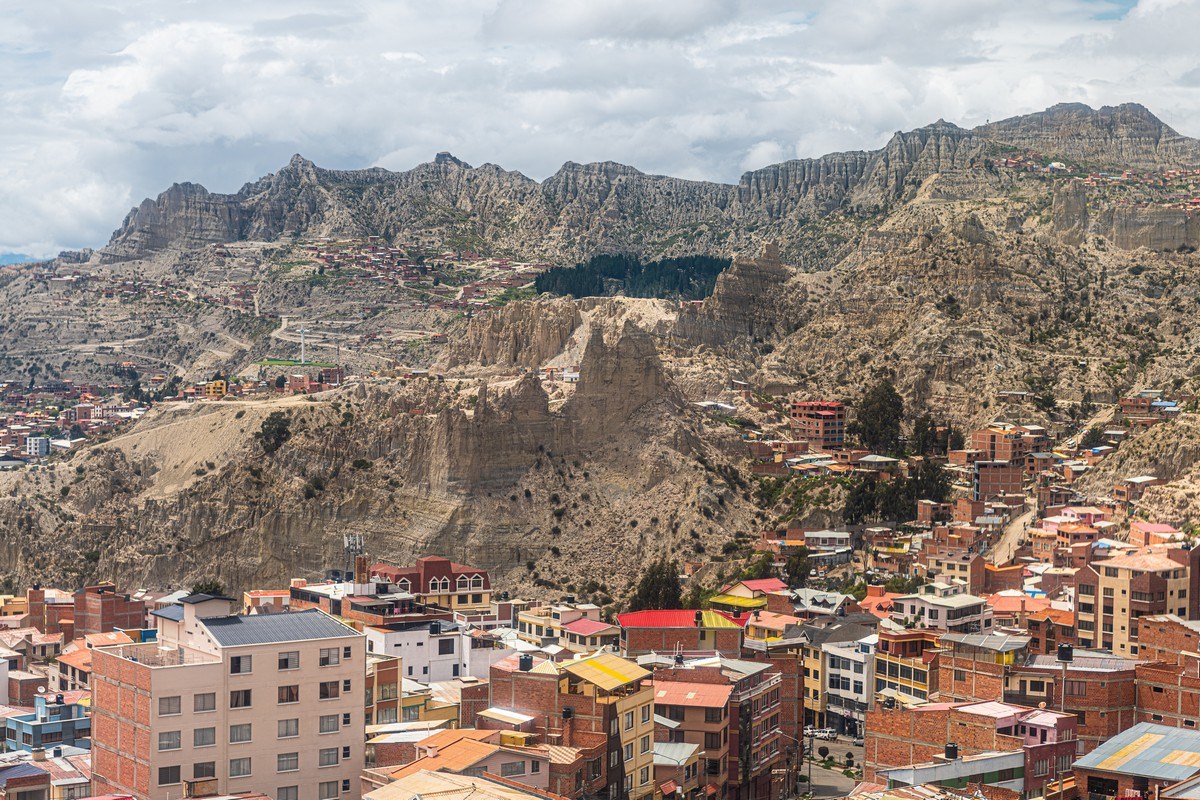
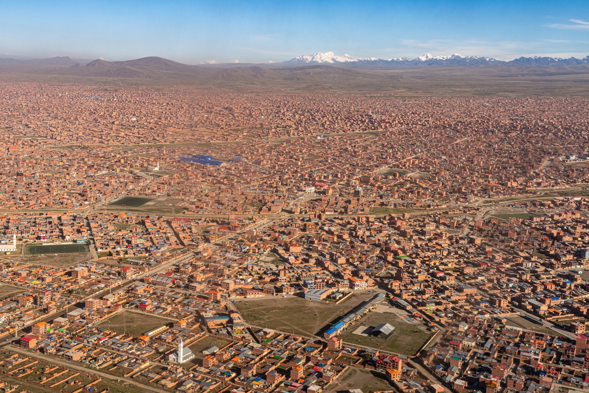
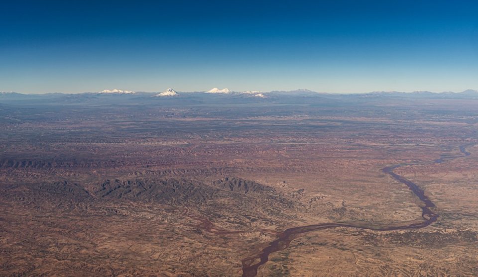
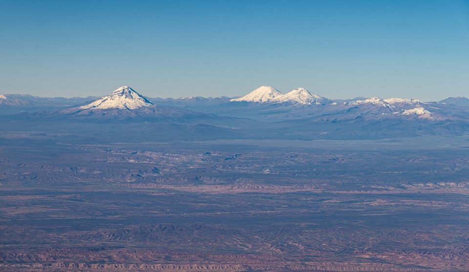
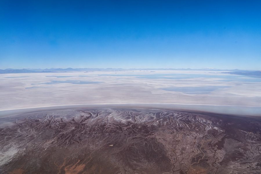
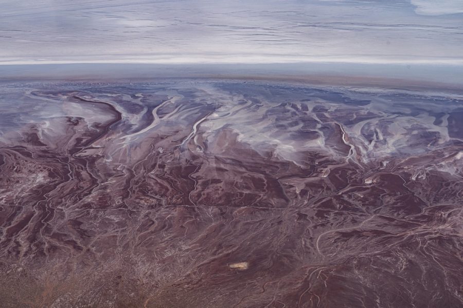
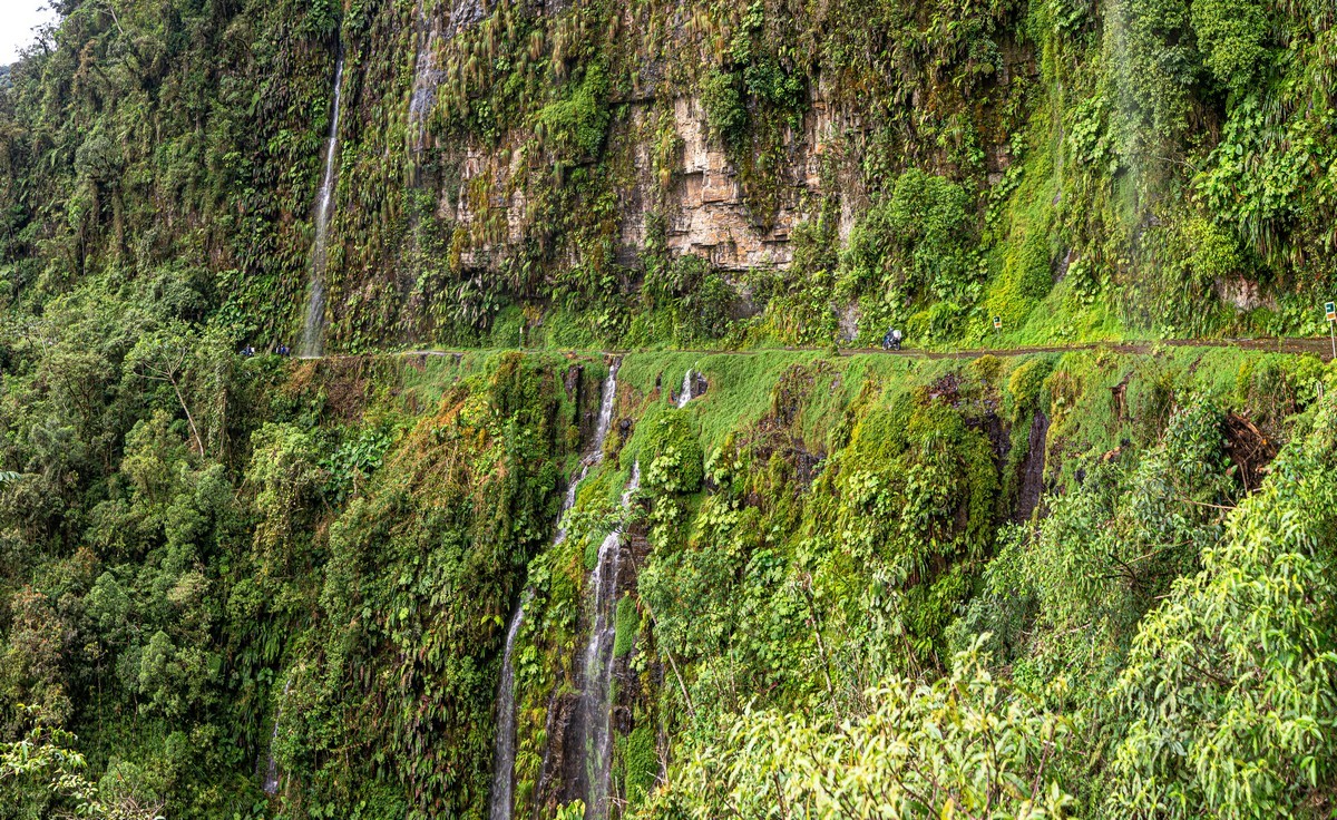
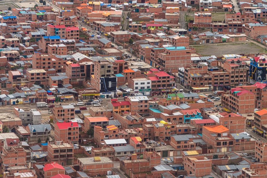
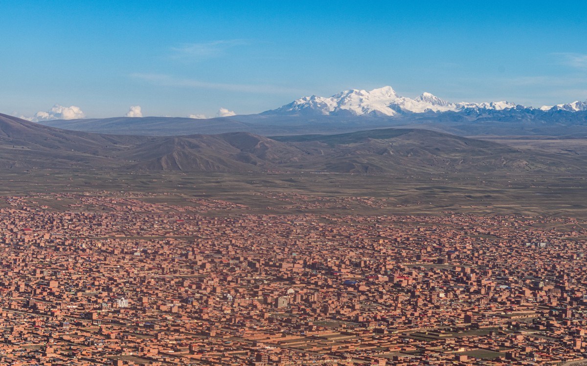
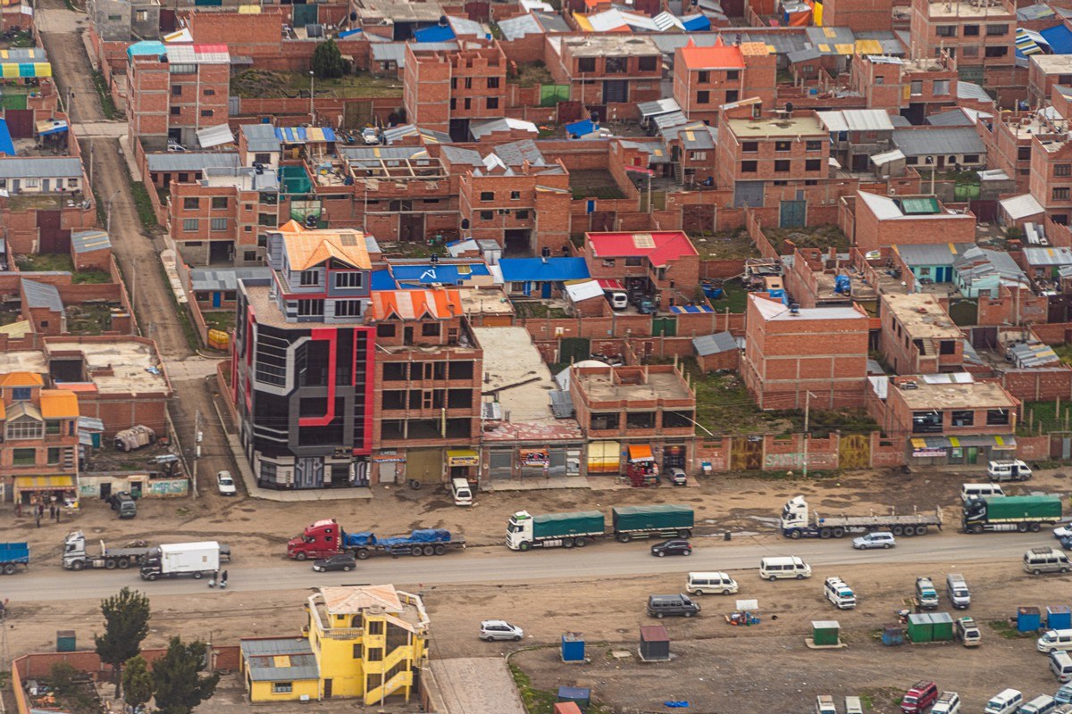
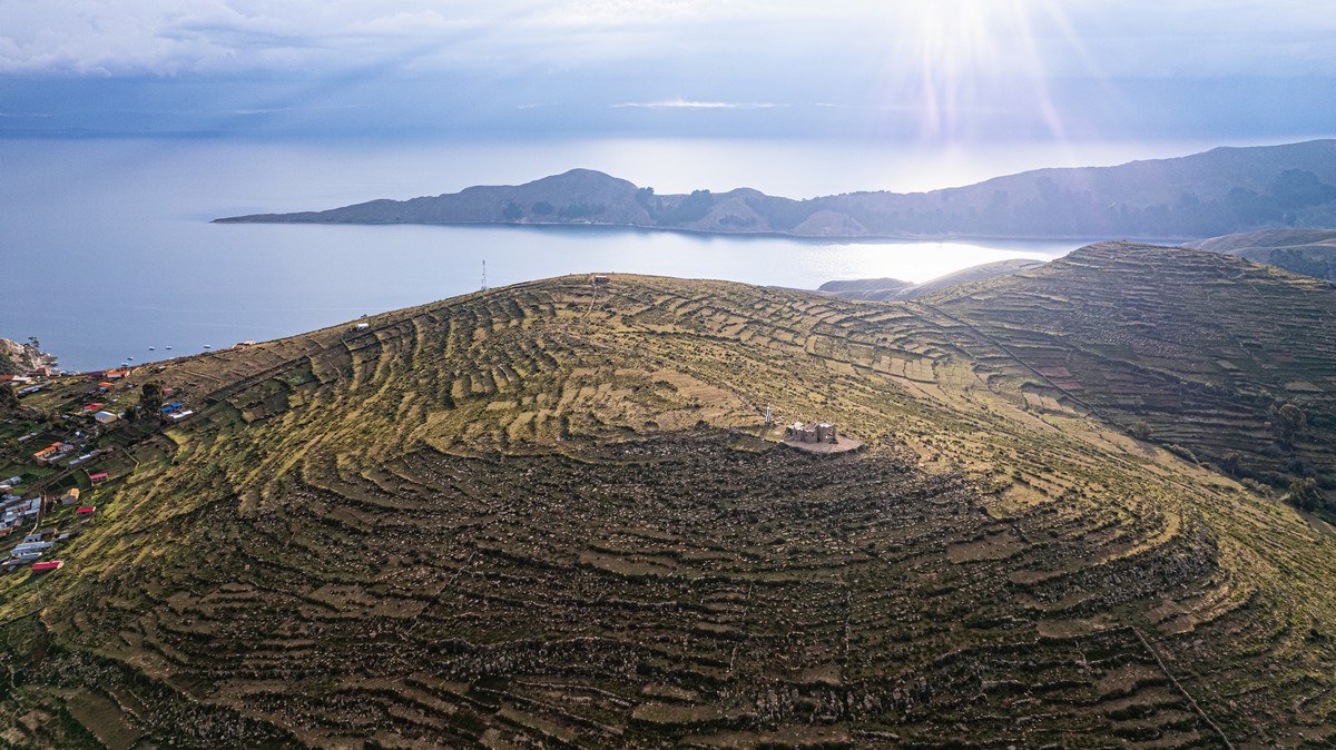
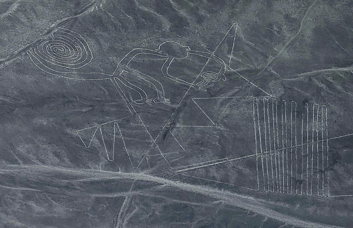
So, where to this time? Drum roll……………………….. crash cymbal! -> to Peru and Bolivia! Hooray!

And what’s on the itinerary?…

First off, the Nazca Lines:

Read on…