March 12, 2026
Oh joy: the meditative views Cerro Torre and Fitz Roy!
From wintry Siberia back to summery Patagonia, and another installment from Los Glaciares National Park (Argentina)…
Already covered:
– First day (trekking toward Mount Fitz Roy)
– Second day (getting to Laguna de los Tres for the best views of Fitz Roy)
Coming up, day three: getting to and checking out mainly Cerro Torre, plus a glimpse of Fitz Roy again…
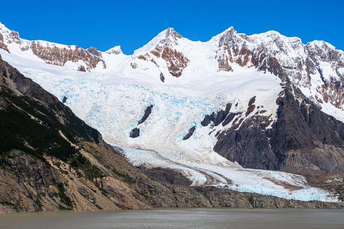
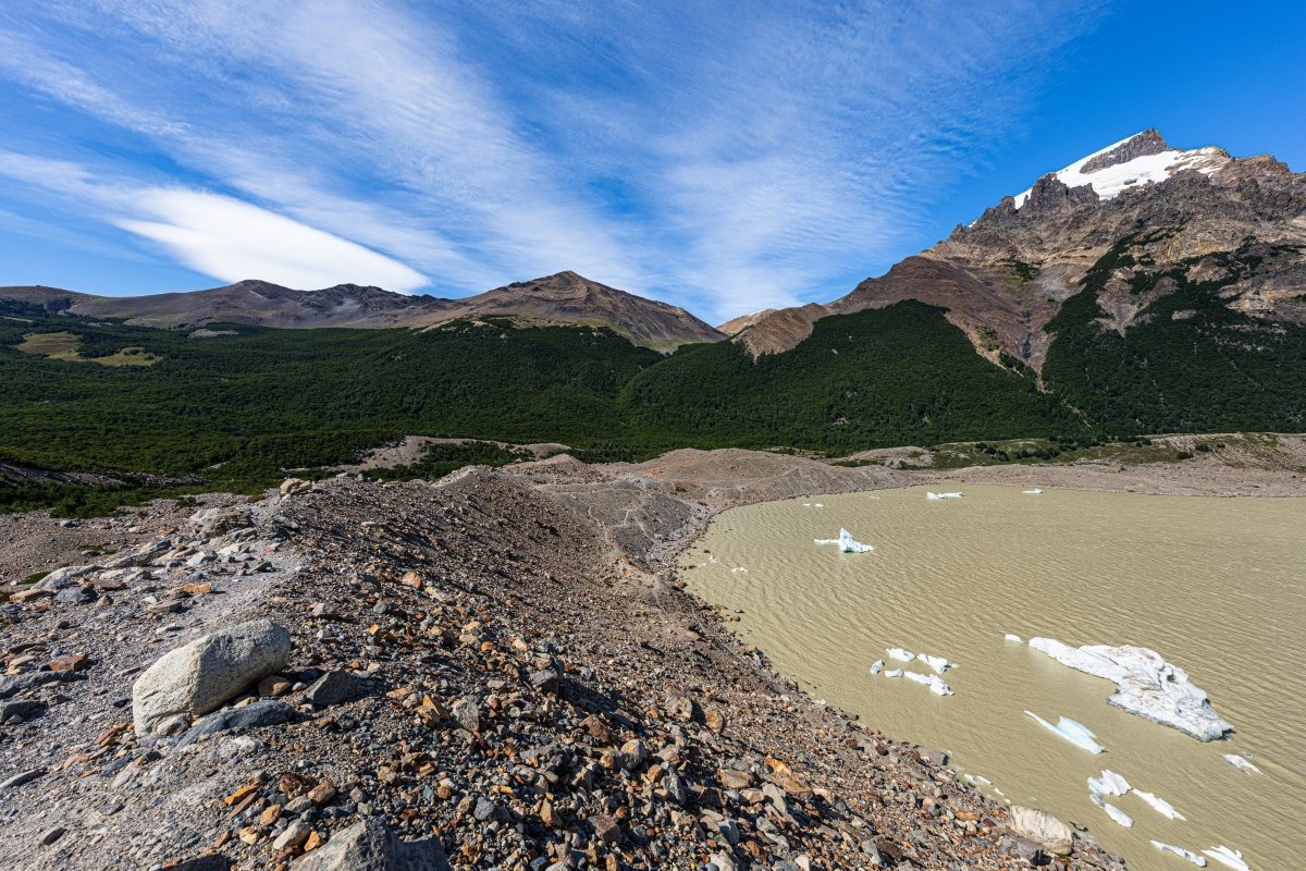
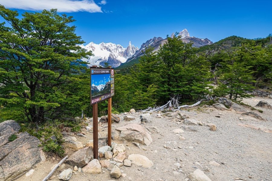
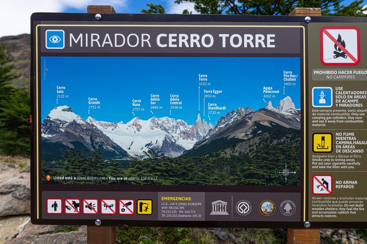
Cerro Torre is the second top-spot for tourist contemplation in Los Glaciares. The views are stunning: sheer granite pillars, or teeth, or – better – fangs:
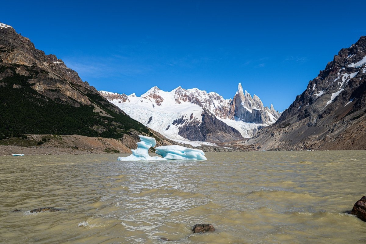
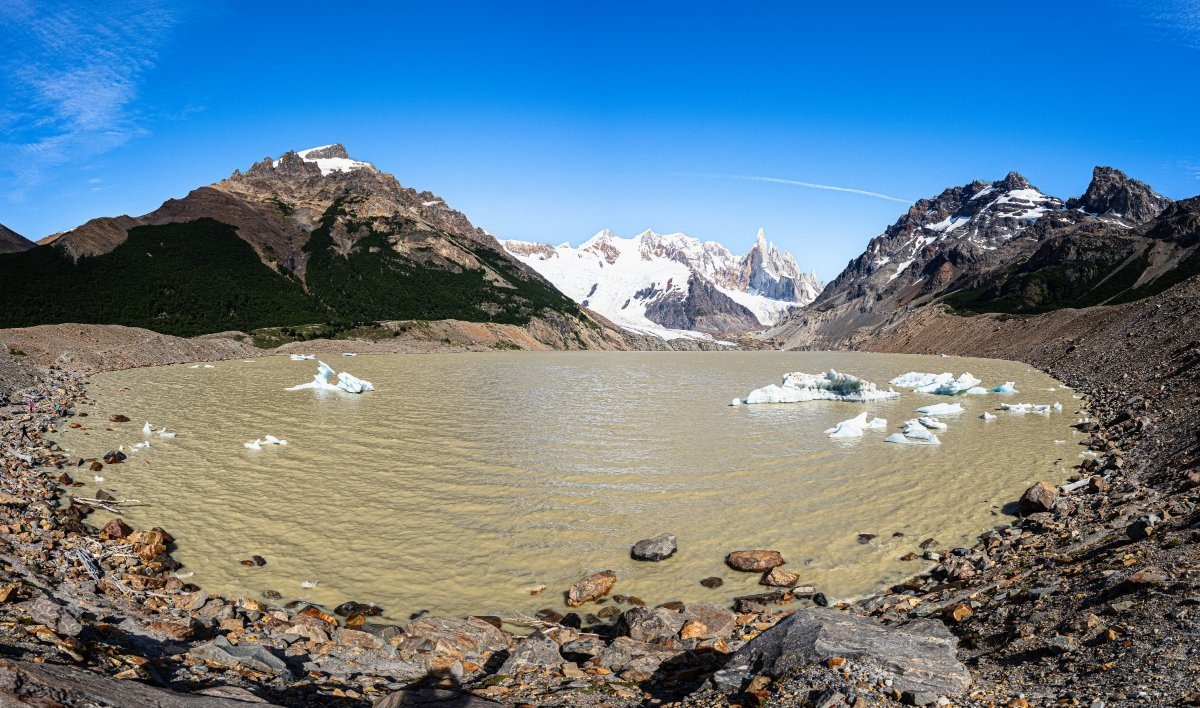
Over there – glaciers; over here – a glacial lake, but it’s opaque and dirty-looking. They could’ve made it sky-blue to match the sky :-) ->
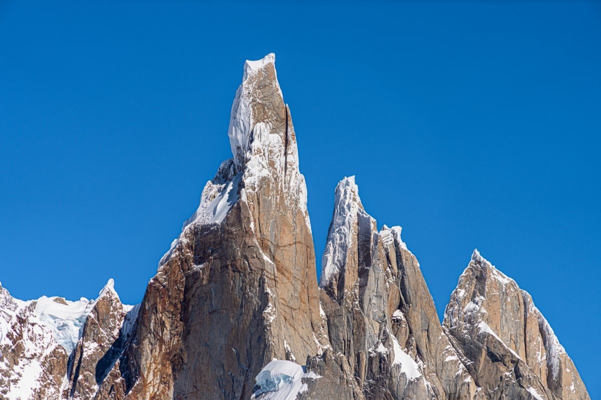
The rock formations are stunning – especially if you take a closer look…
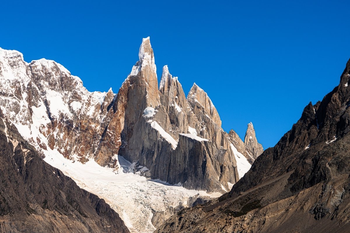
Apparently crazy climbers manage to get up there!…
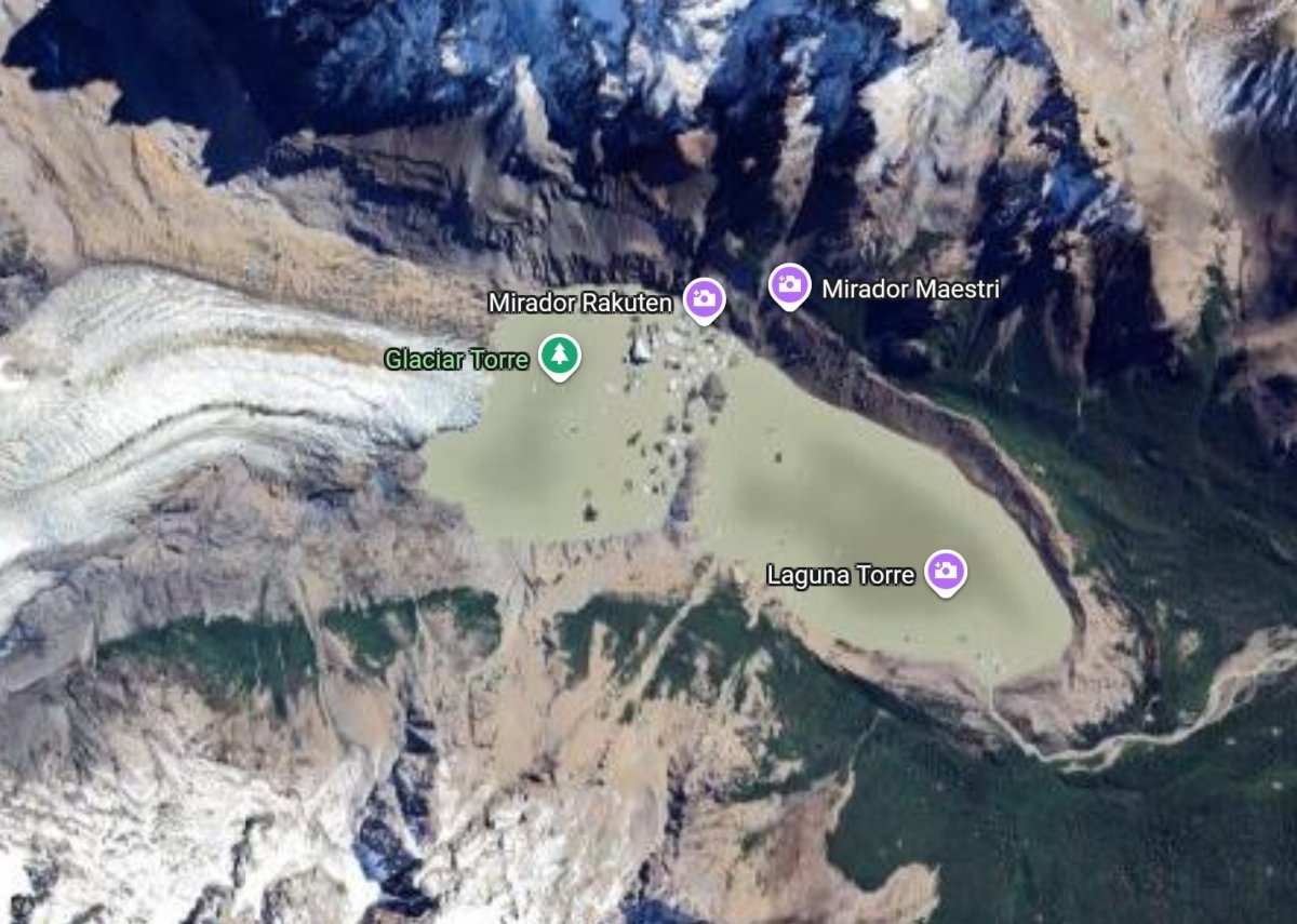
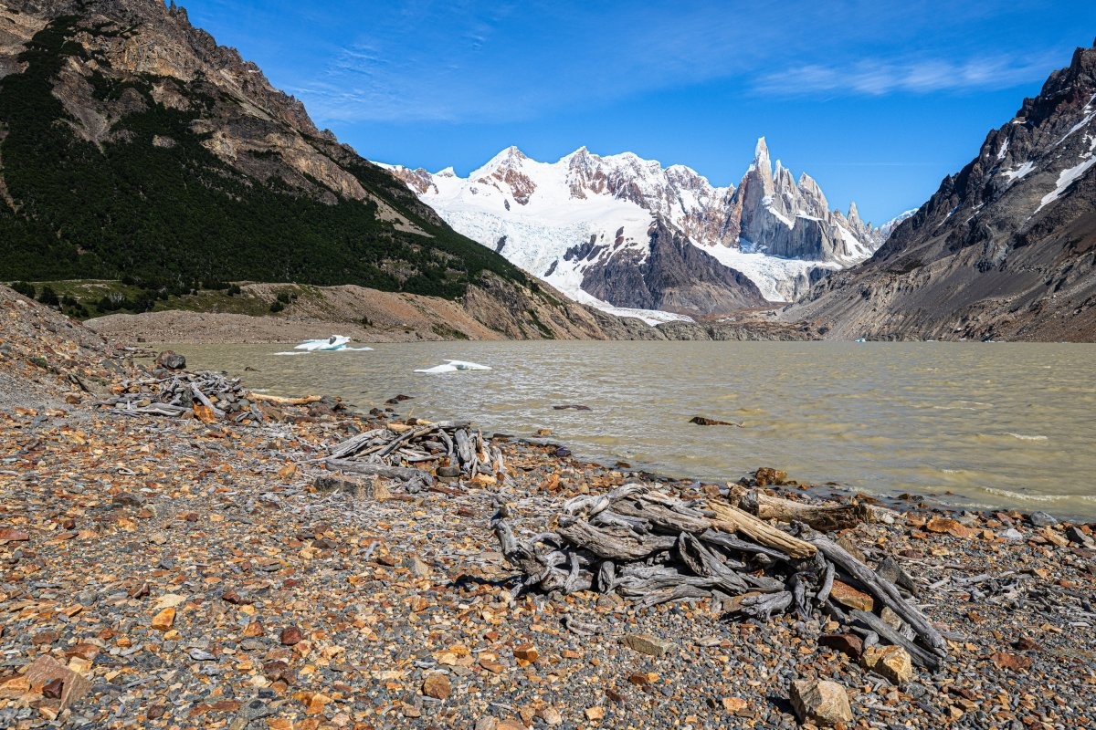
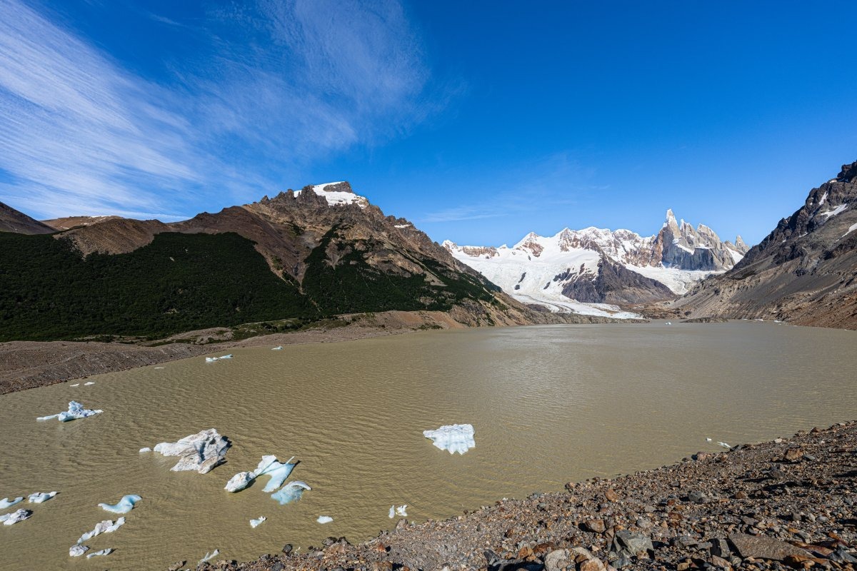
On the far side of the lake at the foot of Cerro Tore (Laguna Torre), there’s a glacier also called Torre: “Glaciar Torre” ->
Here it is on Google Maps:
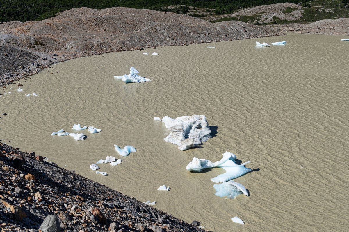
Chunks of ice occasionally break off from the edge of the glacier, and the wind drives them to the other side of the lake:
And the wind here by all appearances can be pretty vicious. Enterprising tourists have constructed wind shelters out of driftwood on the shore of the lake…
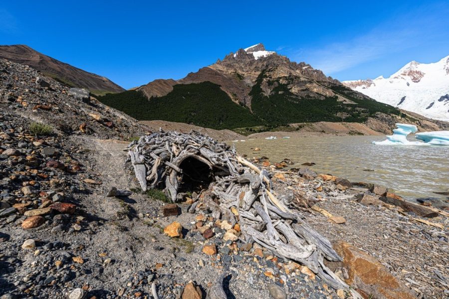
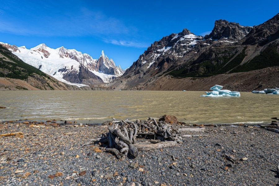
…Well, when you’re here for hours sitting, contemplating, meditating upon the mountains, you don’t want to get all chilly from the strong winds.
Meanwhile, it was time for us to be heading back to base in El Chaltén. One last look at all this beauty…
To the right:
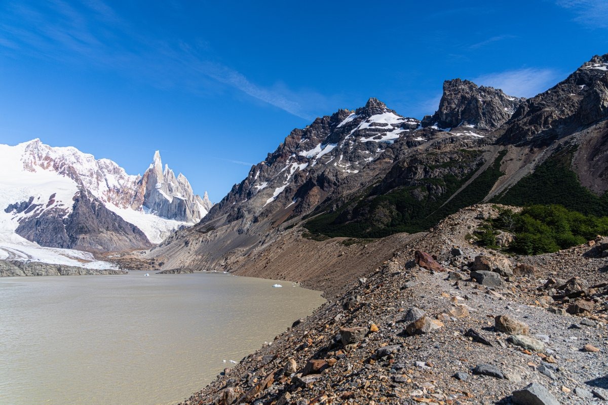
And to the left:
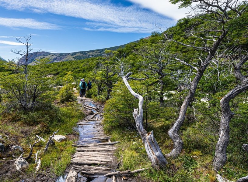
Turn around and look back – that’s where we’ve got to walk now ->
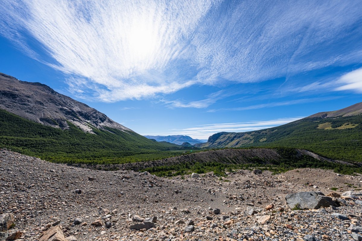
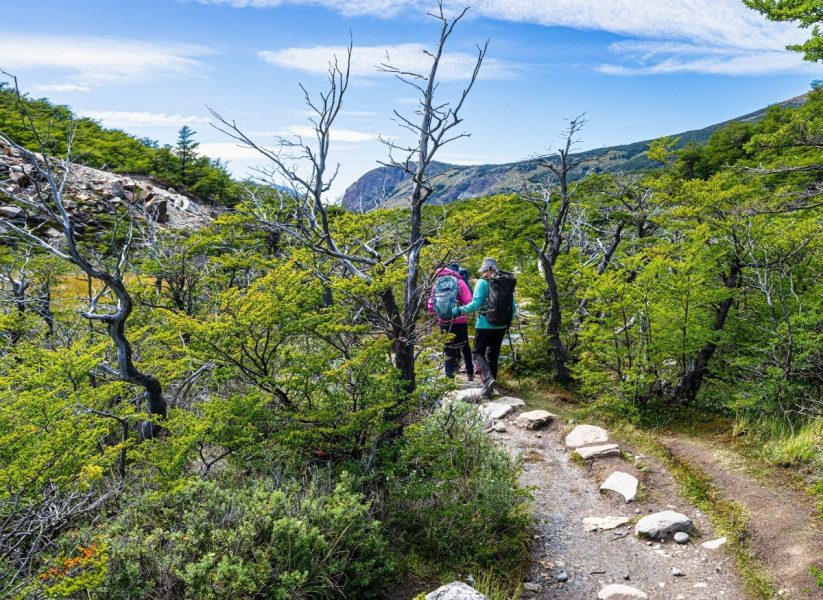
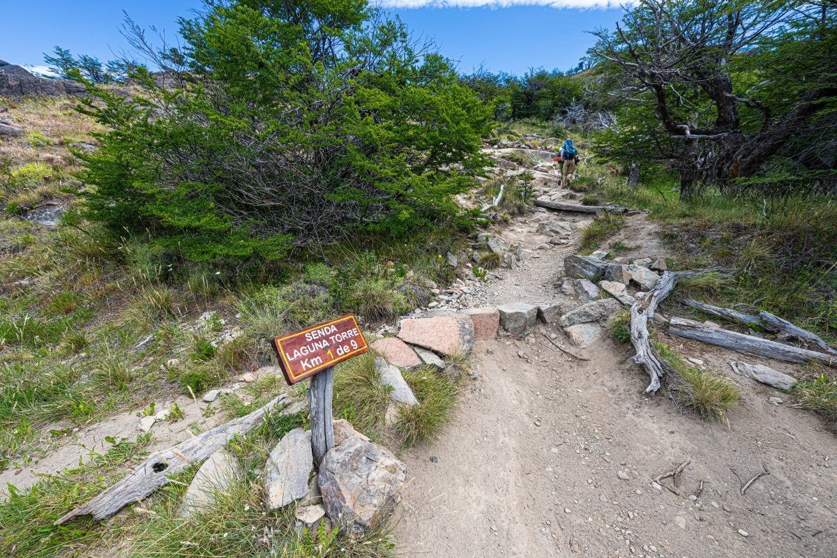
From here it’s about 10km along a pretty comfortable trail, through picturesque scenery:
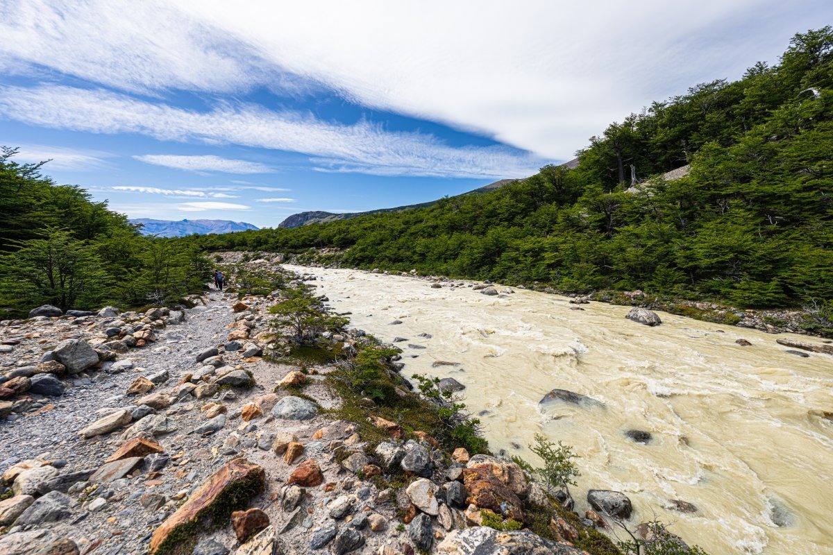
We walk beside a fast-flowing river, and as soon as I see it the whitewater tourist in me wakes up!…
On we plod, occasionally turning around for farewell glances at the beauty of Argentine Patagonia:
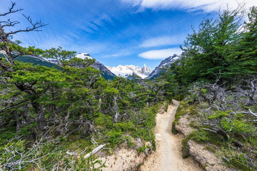
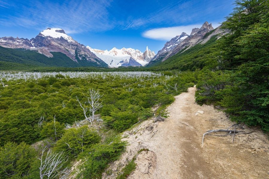
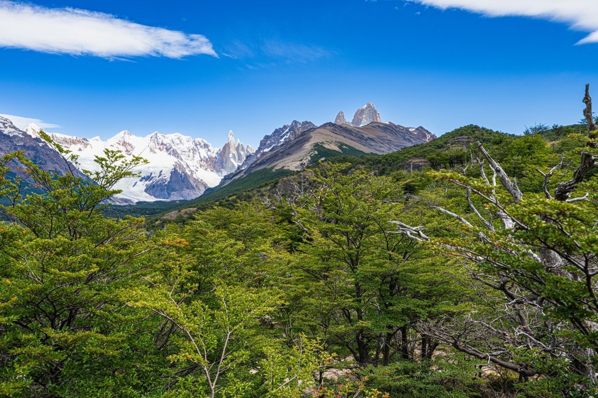
At this spot they promise a view, albeit slightly cropped, of both tourist attractions – Fitz Roy and Cerro Torre ->
Promise kept! ->
That’s it, we’re almost there:
Here the river has carved a canyon through the mountains, but the walls are really steep so it’s impossible to get a decent photo. And drones are banned here (we had one with us but couldn’t use it).
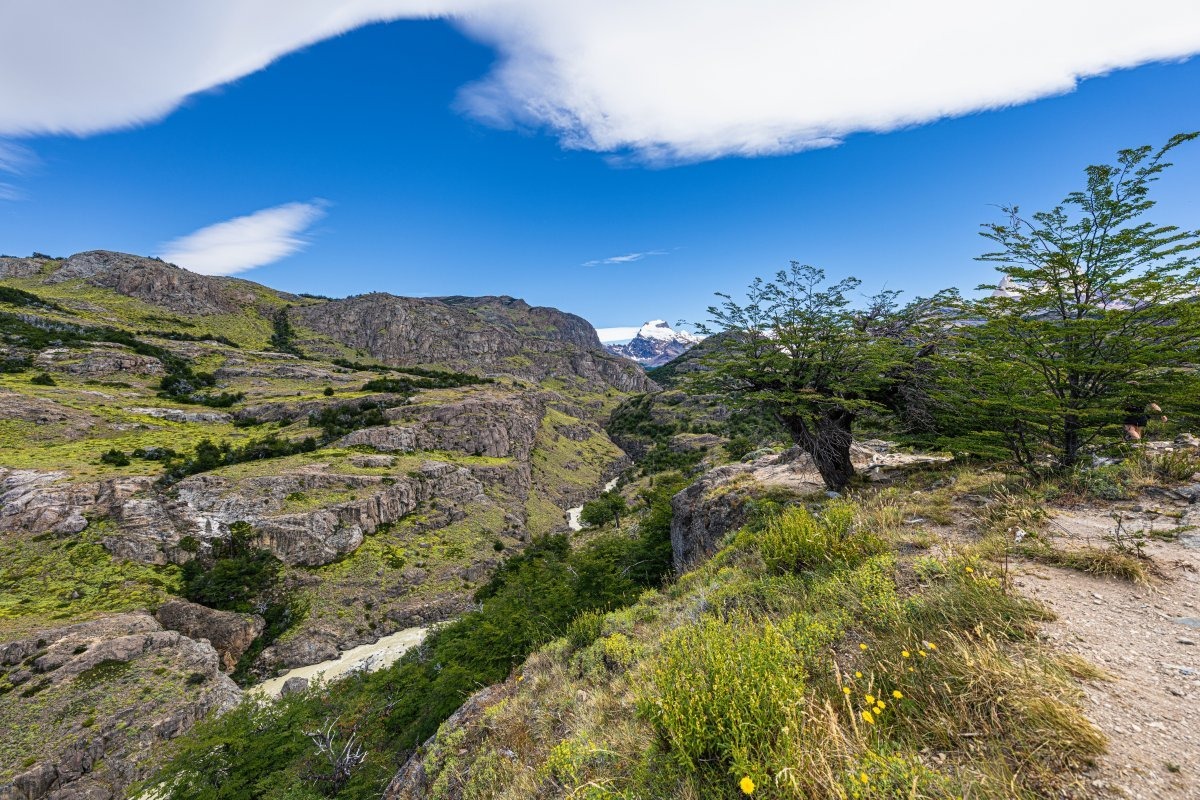
Why is that? I’ve got one explanation – drones will be carried away by strong winds, crash, and make a mess, plus drone-flying tourists will trample over the protected land trying to rescue them. What other reasons could there be for a ban like that out here?
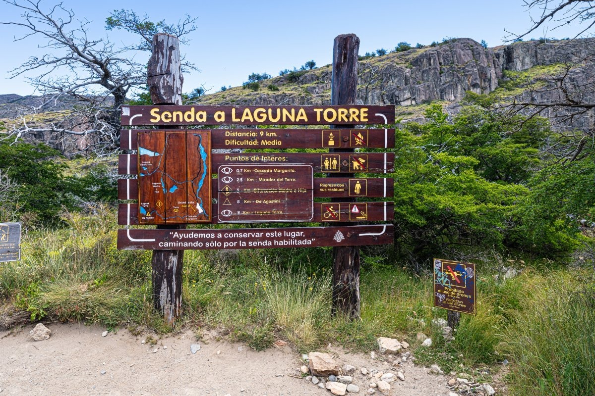
And here’s the finish: the entrance/exit point for the Los Glaciares route. That’s it, we’re practically back at base.
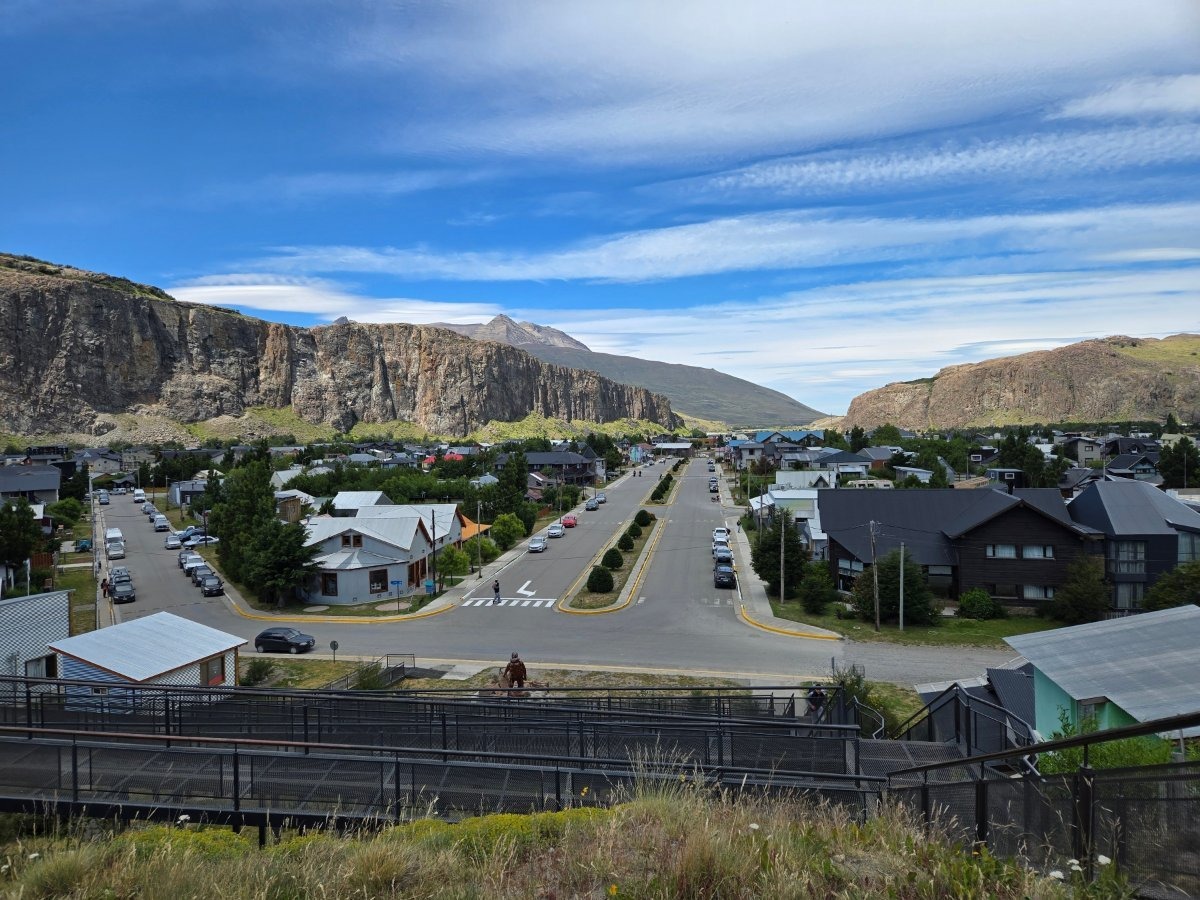
A quick note about El Chaltén. It’s a small mountain town with fewer than two thousand residents, whose main economy is tourism. And it looks like in high season there are more tourists here than locals :-)
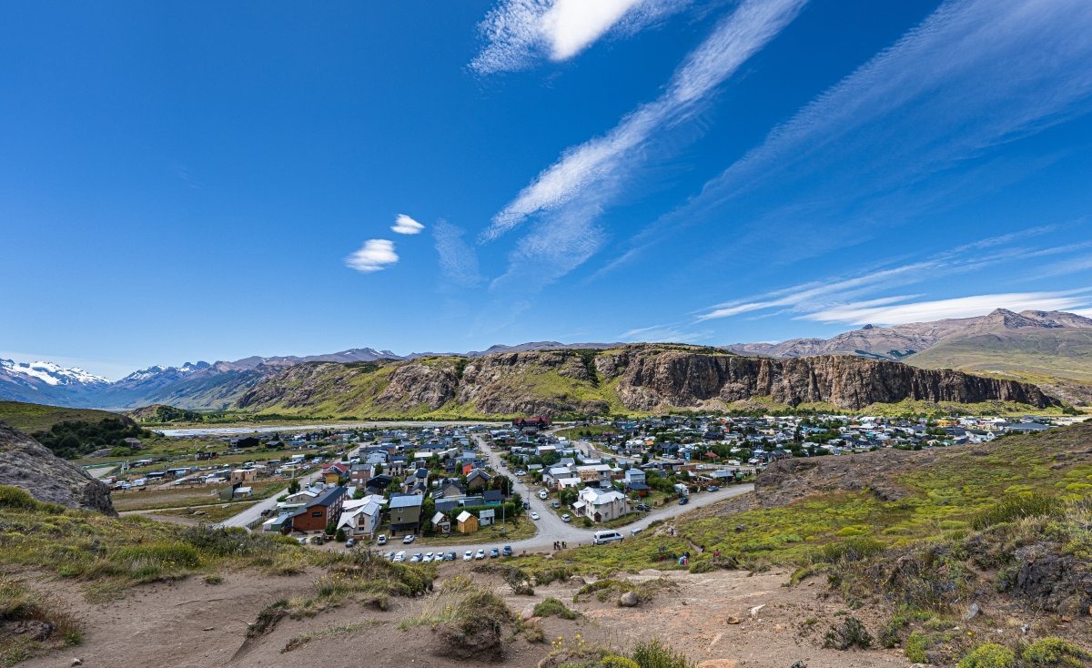
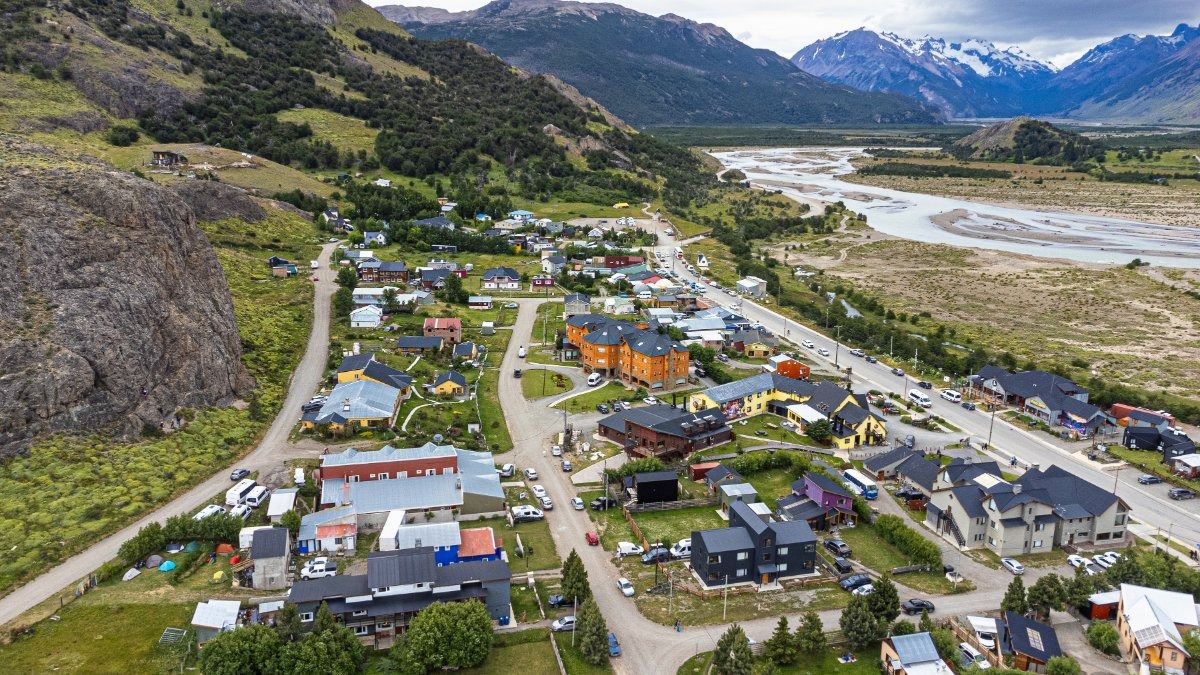
The little town is quite nice, lined with small hotels:
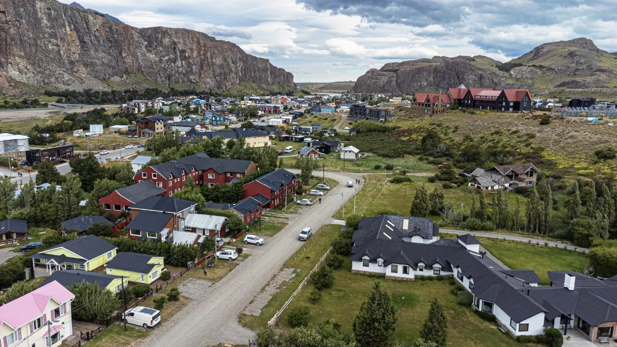
No chain monsters like Hiltons or Marriotts were spotted.
We stayed here:
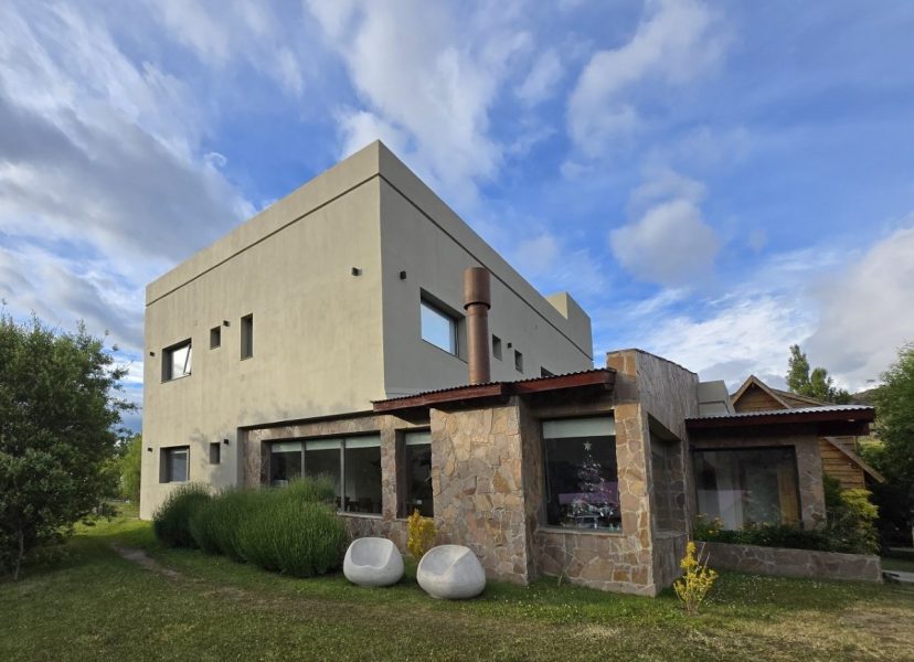
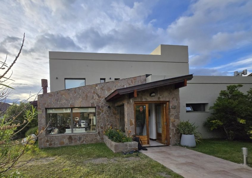
Nice:
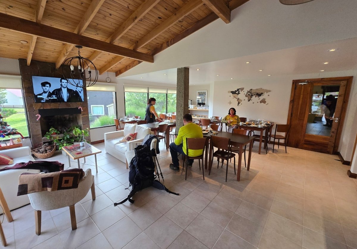
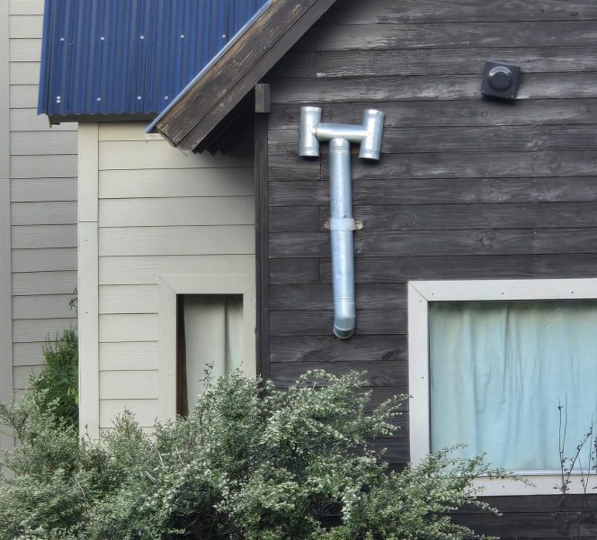
A common theme in the town is adaptation for the strong winds. For example, the doors in the hotel and restaurants opened inward – apparently so the wind wouldn’t rip them off if they opened outward. And chimneys here have this kind of design so the wind doesn’t blow back inside what’s supposed to go outside:
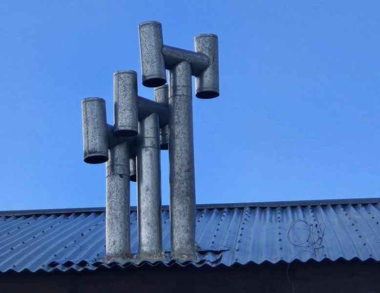
Random local creativity ->
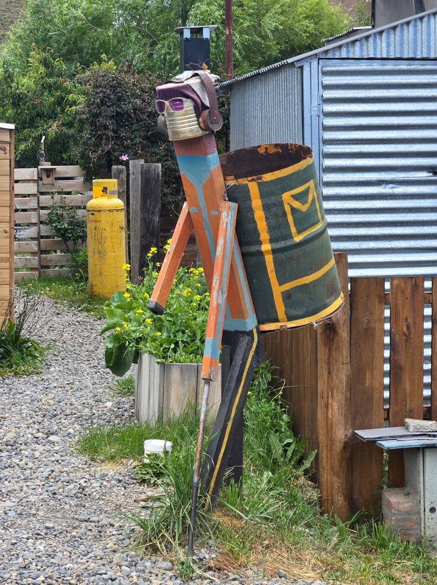
A nice little place…
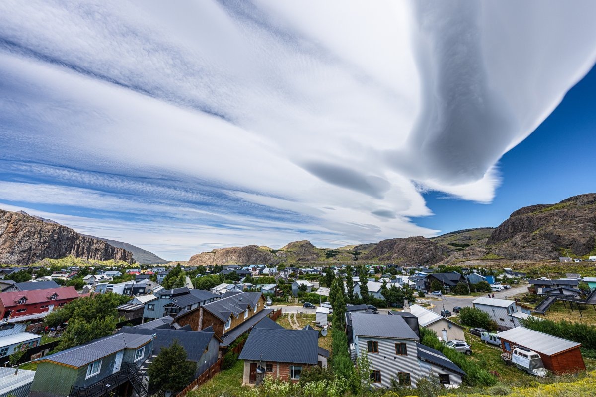
…With the craziest of clouds up above ->
That’s it for Los Glaciares, but more from Patagonia coming soon!…

