February 27, 2026
Ahoy – Mount Fitz Roy!
Hola amigos!
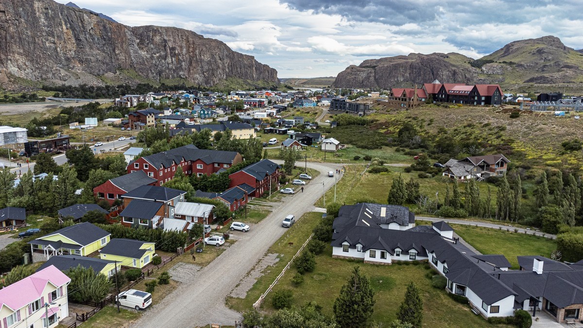
Welcome, everyone, to the Argentine Patagonian village of El Chaltén – a place fully deserving of your close attention due to the insanely mind-blowing concentration of landscapes all around it. This mountain village is also where all (or almost all) routes heading to the mountains, glaciers, and multicolored lakes begin – into Argentine Patagonia and the national Parque los Glaciares ->
Last time, I whetted your appetites with my traditional intro-post. Today – let’s dive into the first full installment…
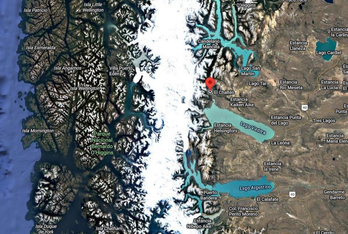
But first – where is all this? Right here, and here! ->
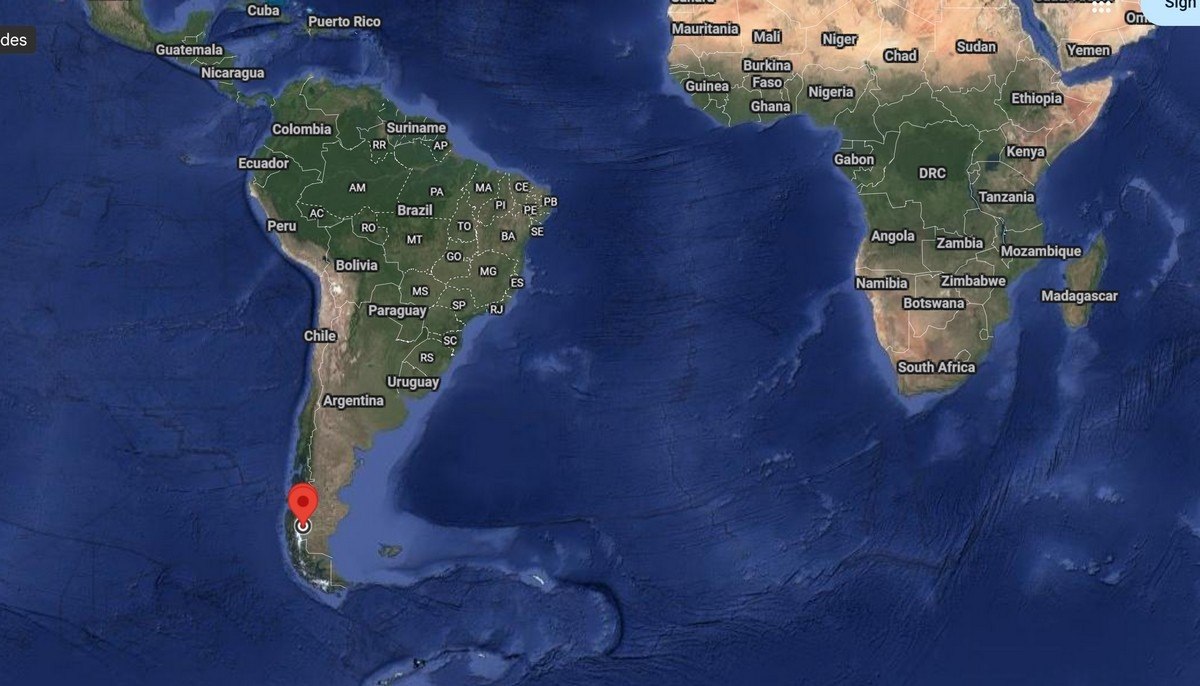
This all takes place near the southern tip of South America. If you zoom in closer, the relief you see in the photos gets mindboggling. And then there are the colors: Google Maps using Photoshop to enhance them? No: they’re for real – I checked! ->
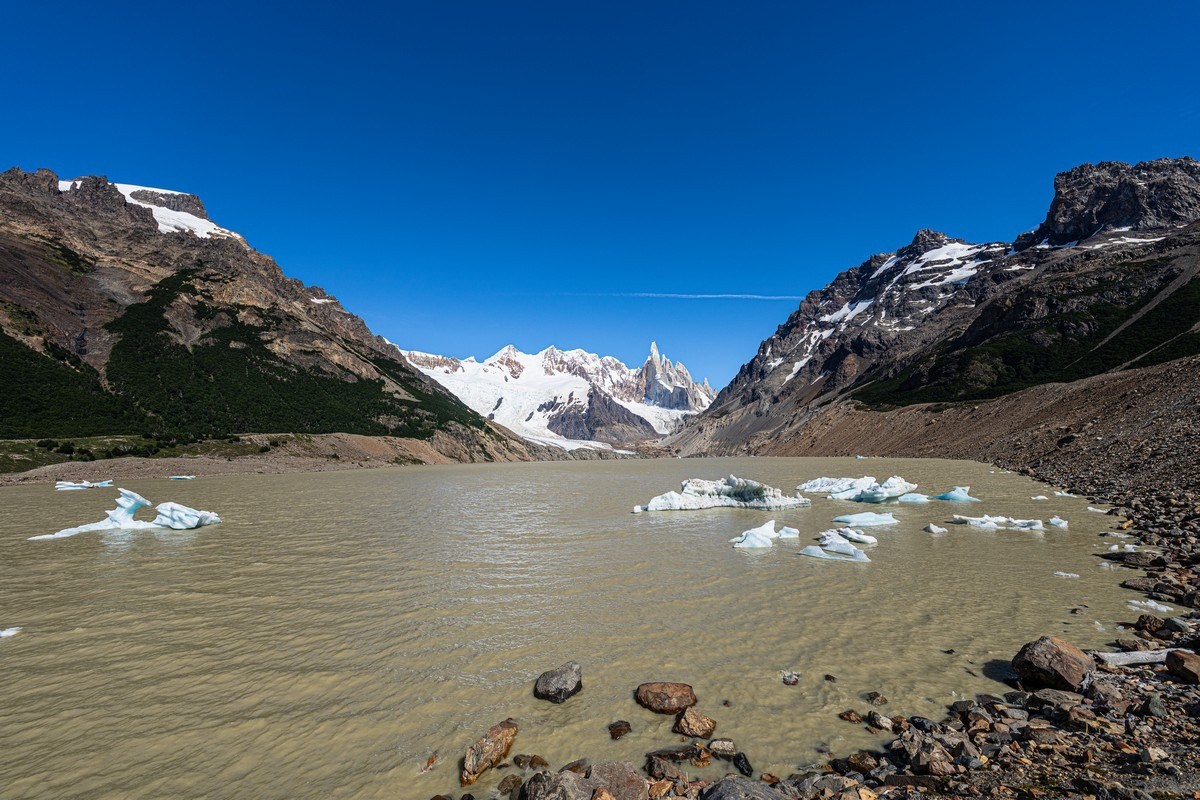
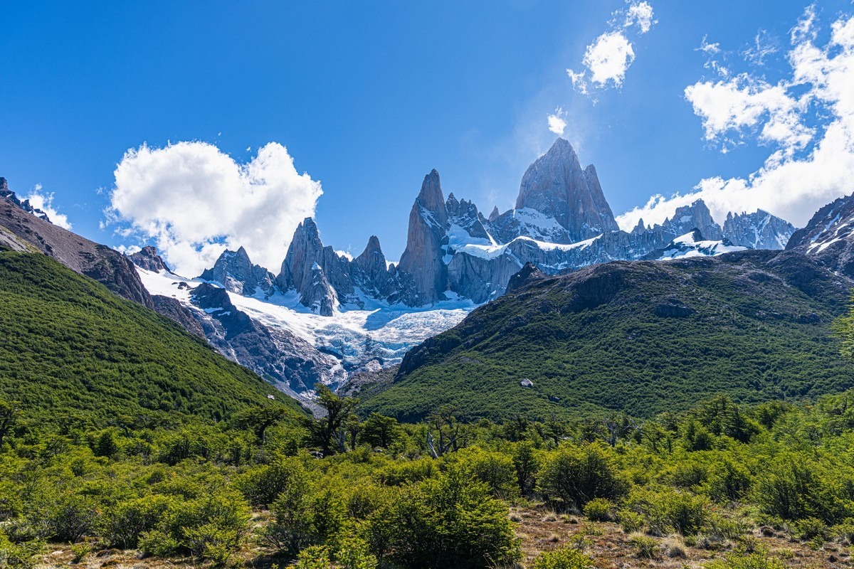
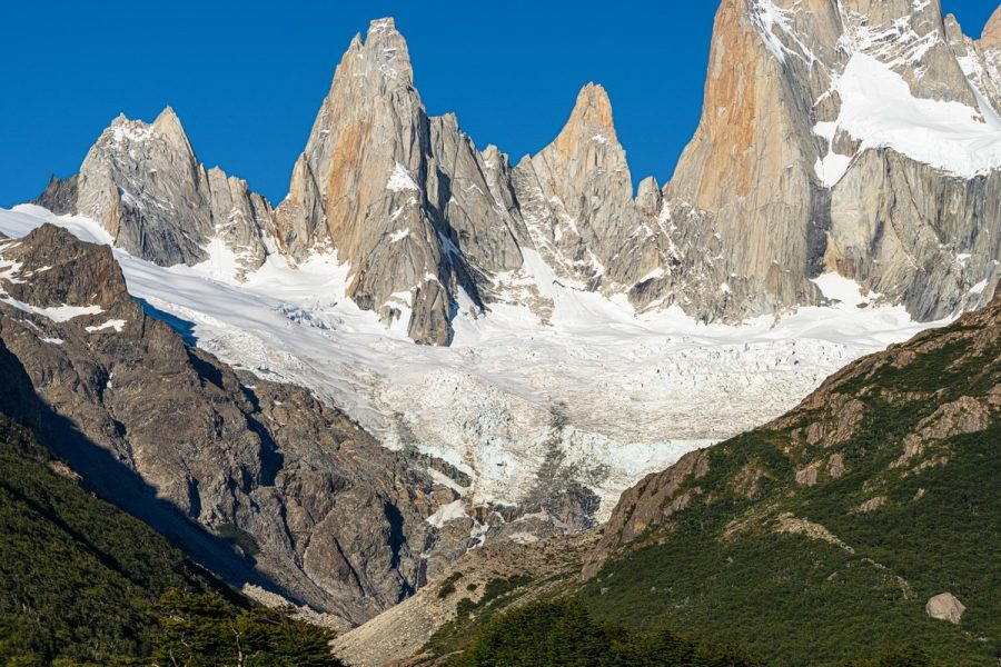
Out in the El Chaltén area, you can wander in all directions. But the ultimate two must-sees are Mount Fitz Roy and Cerro Torre:
Fitz Roy and Cerro Torre are two fantastically beautiful and monumental granite (?) mountains…
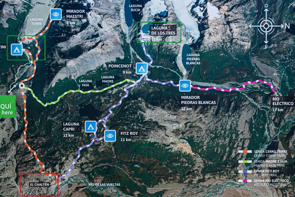
There are two strategies for the sightseeing tourist: from El Chaltén you can hike to each of these viewpoints and back in a single day; you leave after breakfast and return back to base by dinner – so in two days you see them both. We chose an alternative approach so as to explore the natural beauty more thoroughly: one day walking to Mount Fitz Roy and climbing up to Laguna De Los Tres (the best views are from there); on the second day moving over to Cerro Torre and staying overnight there; and on the third morning seeing what needs seeing there then returning to El Chaltén. That makes a large loop of a route – visible on the map five photos up.
It’s worth adding that from the village of El Chaltén directly to Fitz Roy it’s about 11–12 km one way, and to Cerro Torre about 9–10 km (also one way) – very manageable for a moderately fit hiker. We ended up walking almost 40km in a loop – and don’t regret it at all!
So, breakfast in the morning, onto a bus, and about 15km later we arrived at the start of the trek:
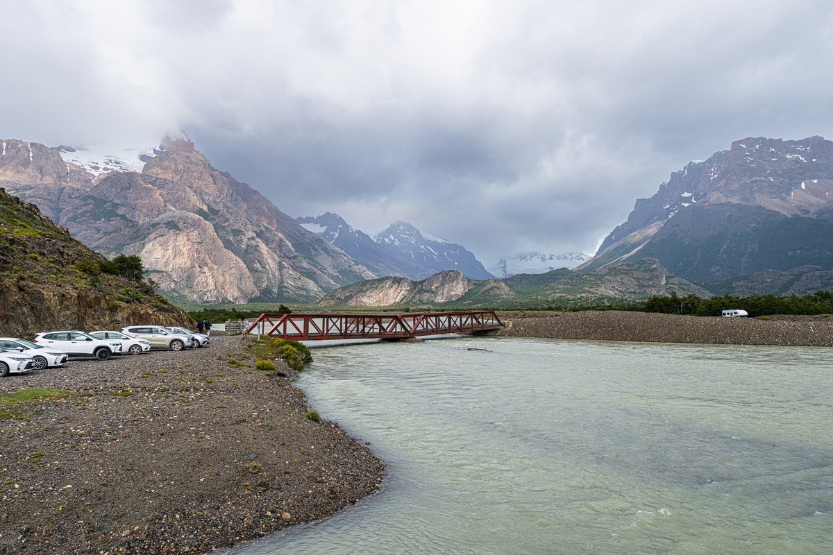
Here’s a cute little bridge, but not for pedestrians – only cars. We go left along the trail…
Entry is paid, and the hike has to be booked in advance.
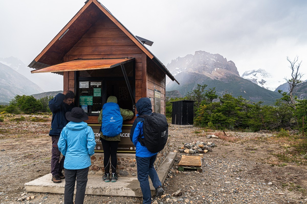
And off we go!…
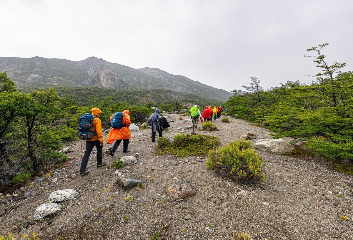
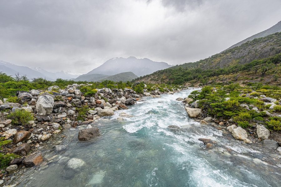
The weather wasn’t great, though… Somewhere up in those clouds are mountain peaks, glaciers, and other beauties ->
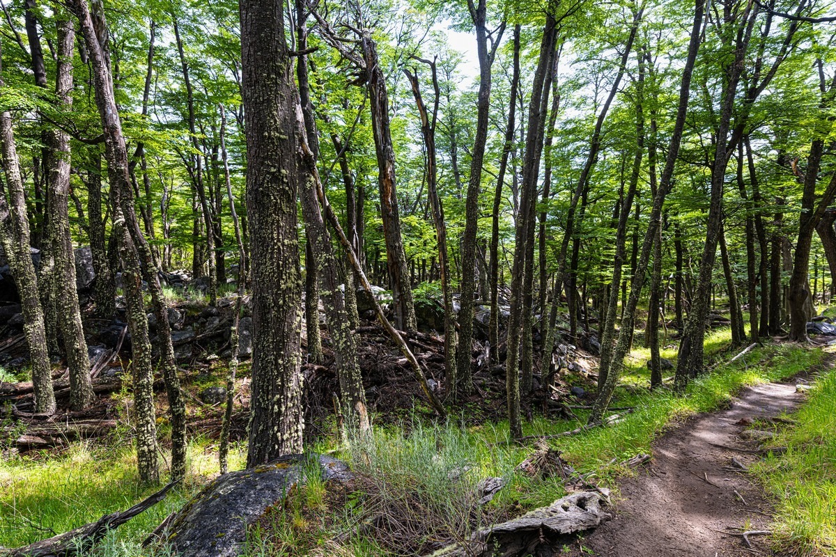
Important: at the start of the route, it’s basically a maze in the bushes – a web of trails; it’s very easy to get lost (we did exactly that). So it’s strongly recommended to walk with a local guide. A good guide. We had a not-so-good guide :)
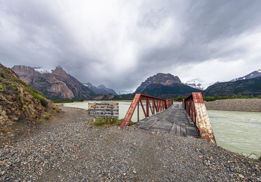
But if you come out to a bridge like this, you’re on the right path! ->
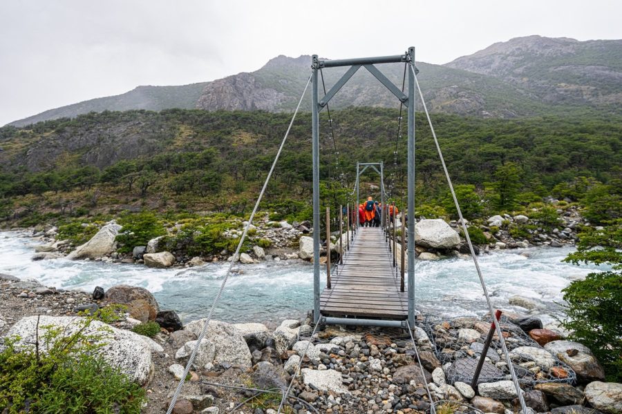
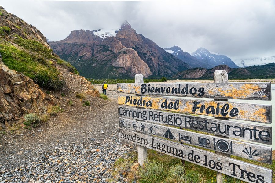
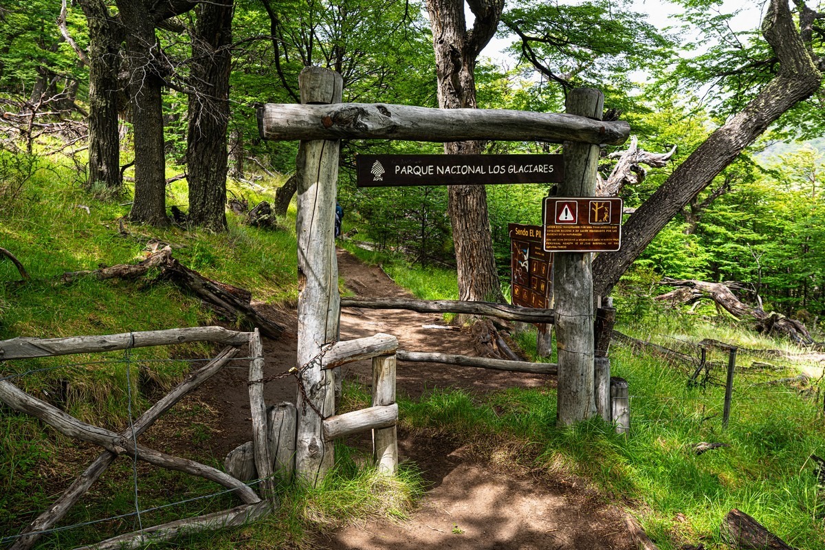
And if you manage to run into a gate like this, then you’ve made it. From here there’s only one trail, so you won’t get lost:
Onward! We had huge plans for these three days…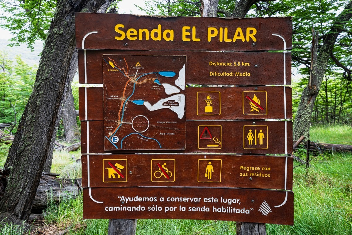
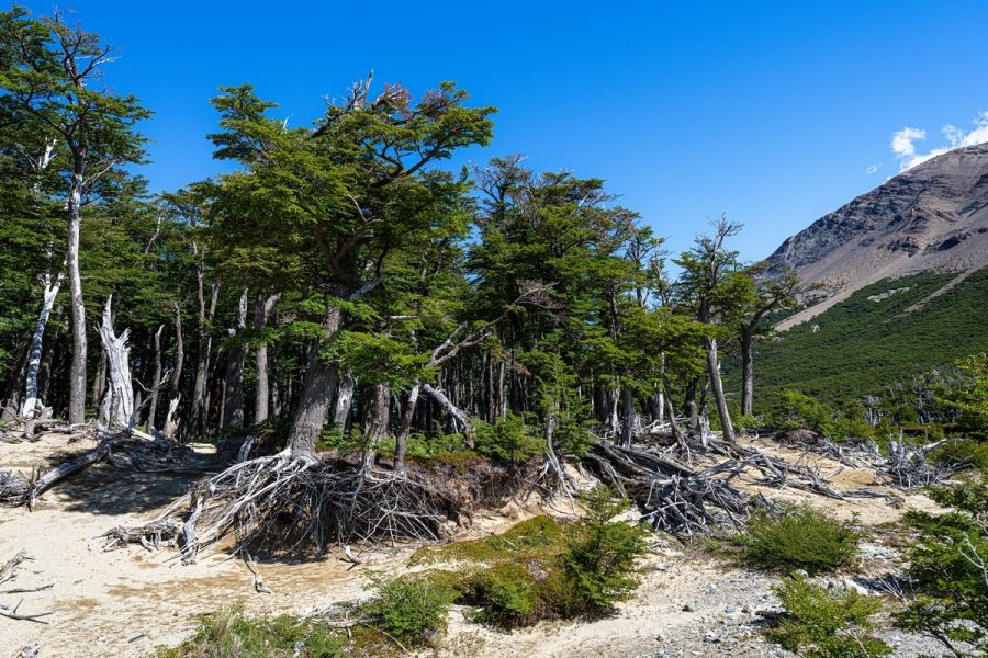
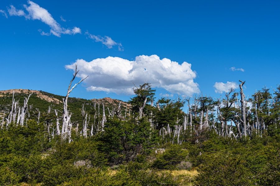
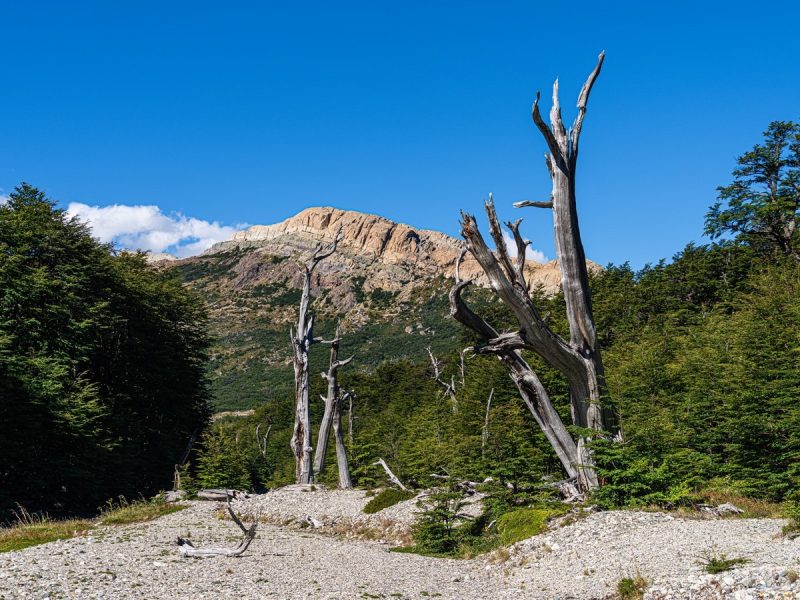
The forest here is built in a very strange way. I’d even call it a “designer forest”…
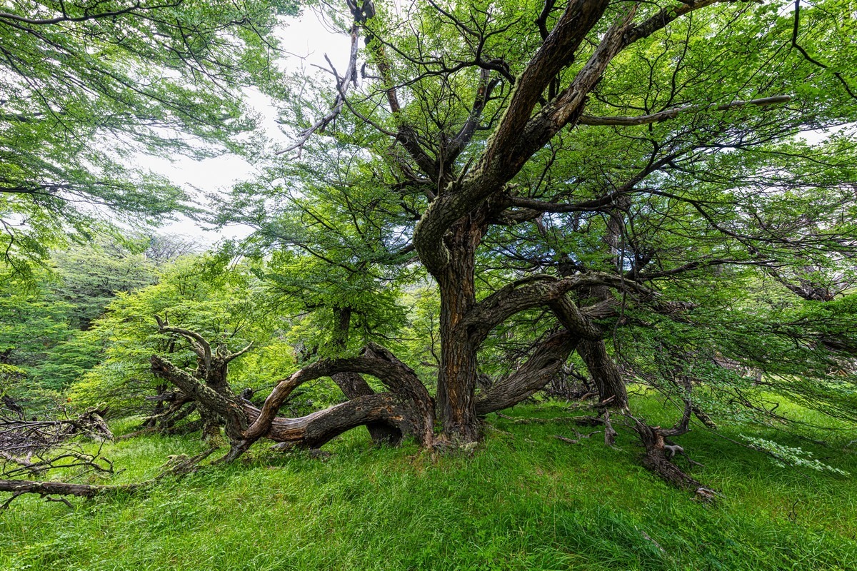
It’s strange for one simple reason: it’s quite young (only a few thousand years old). It started growing here when the glaciers retreated. The soil layer is thin, so dig a little and you hit rock. Trees have nothing to cling to, and the wind twists them (and it blows here almost constantly), plus there isn’t much nourishment – so they grow into these strange shapes.
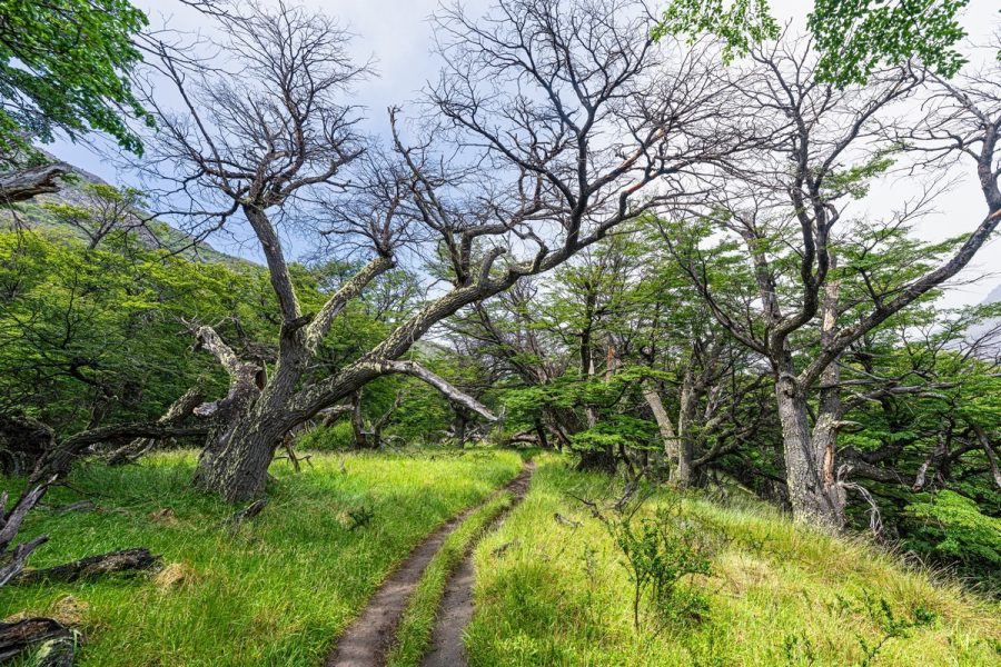
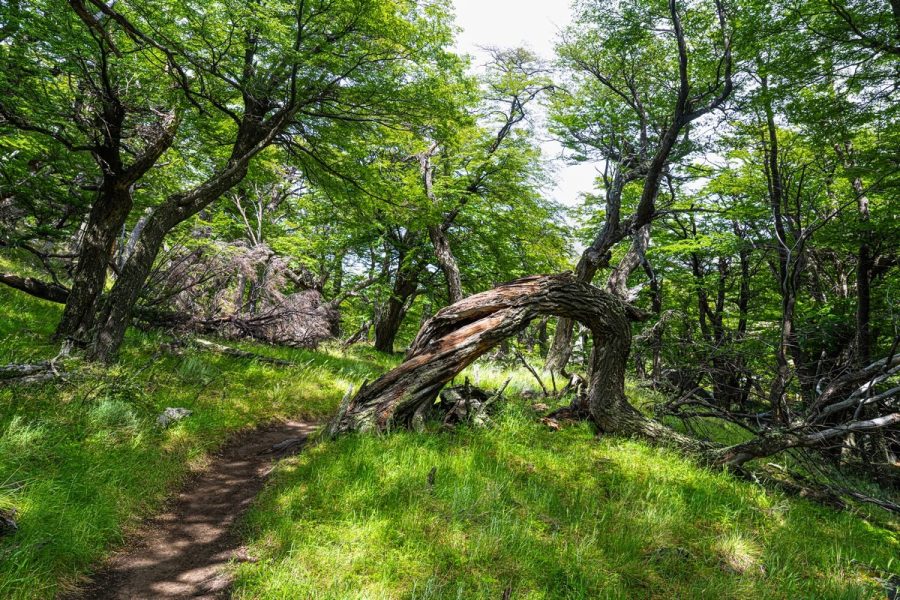
At the same time, the trees are fairly young – their lifespan here is short.
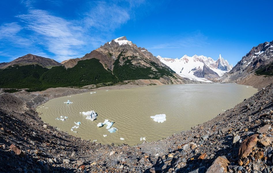
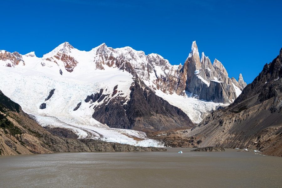
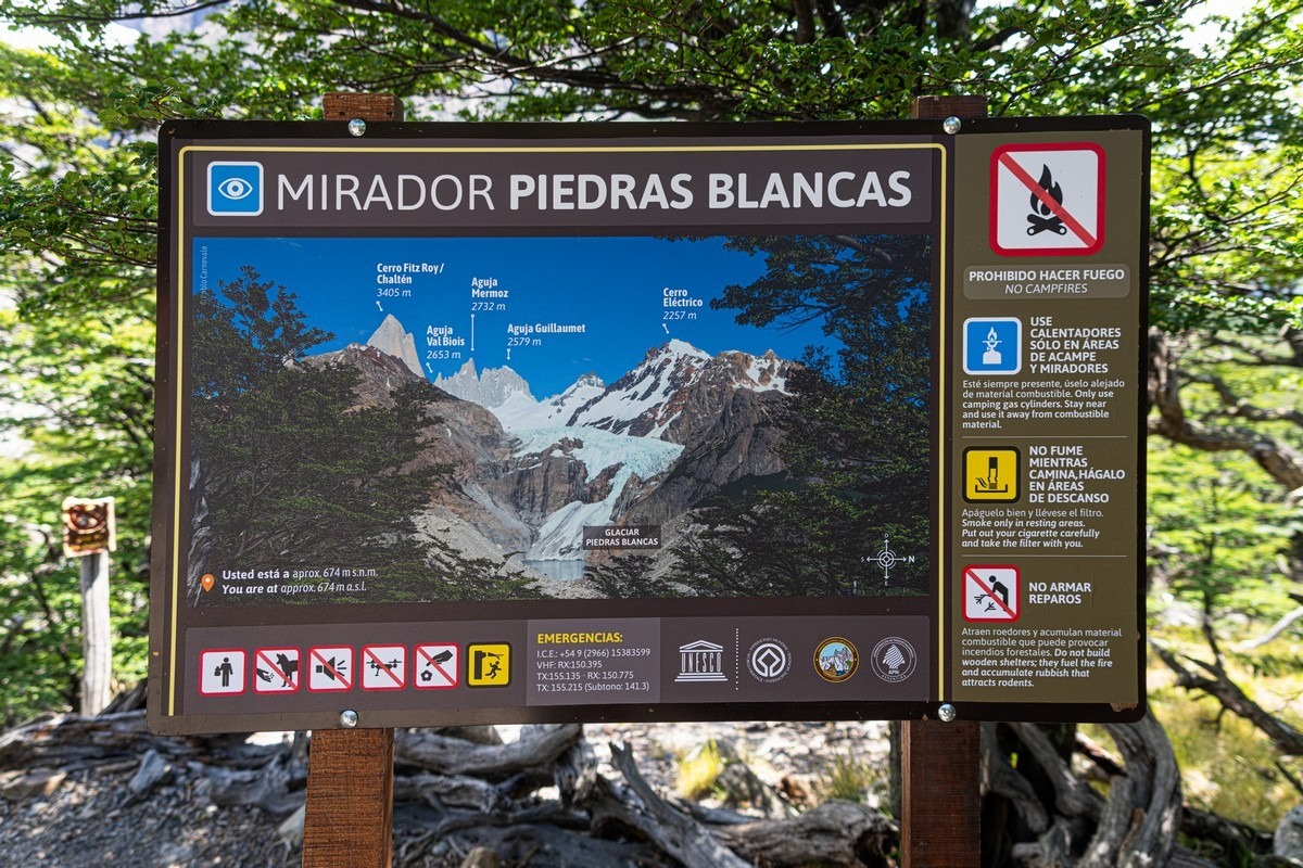
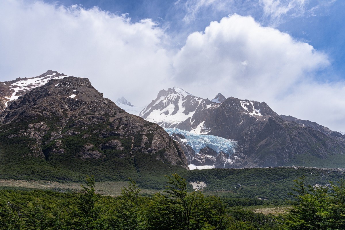
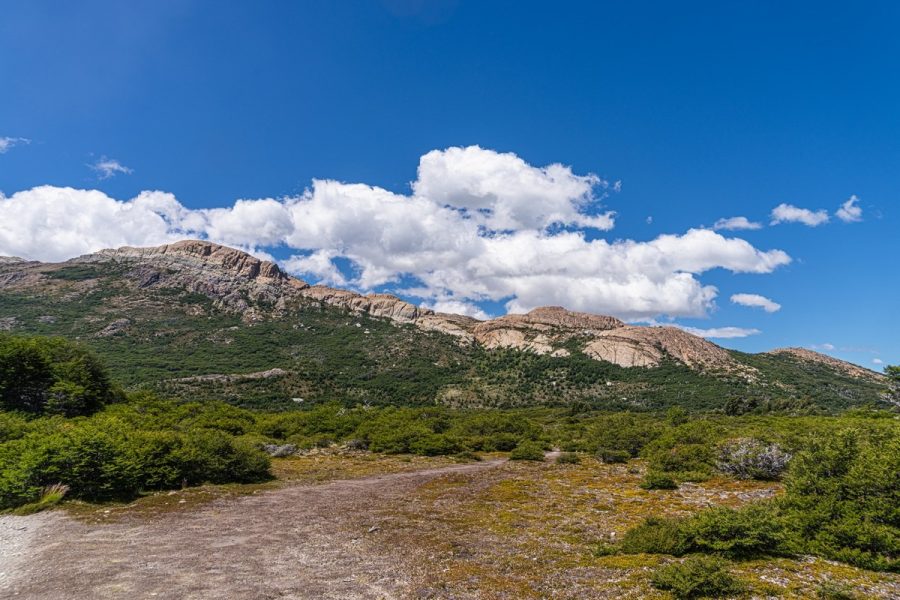
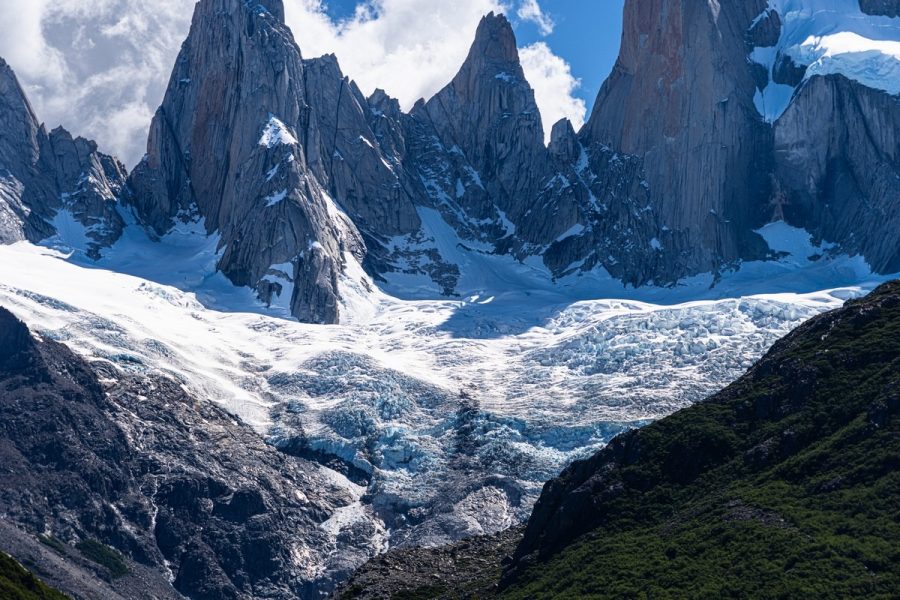
The first scenic viewpoint – the Piedras Blancas glacier.
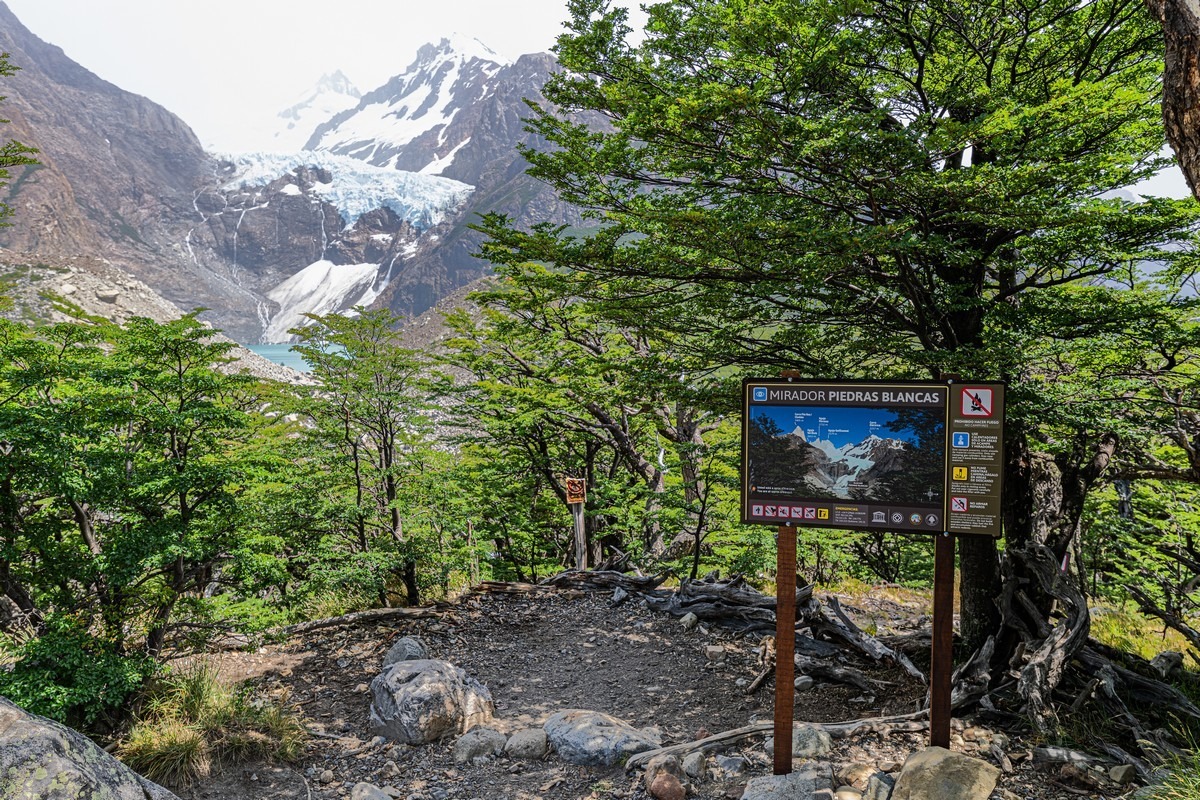
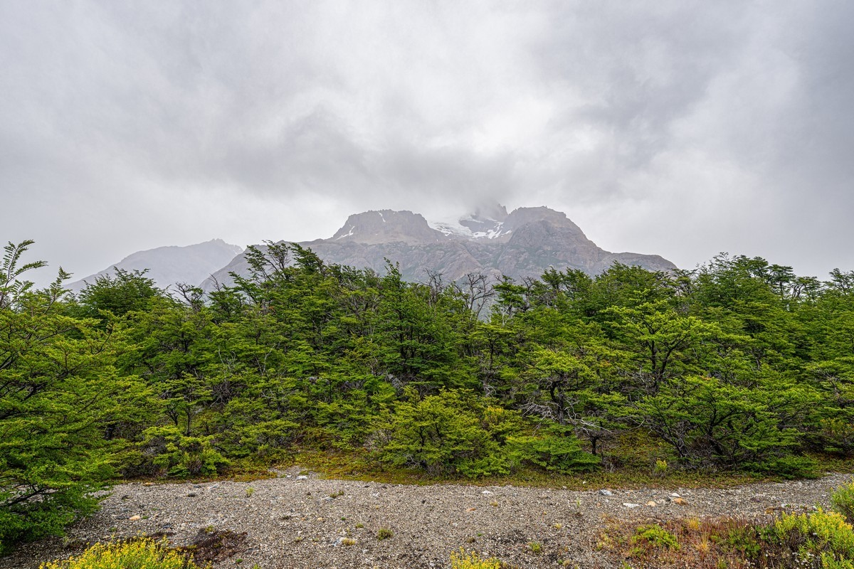
Beautiful! Too bad the upper views ahead are covered by clouds…
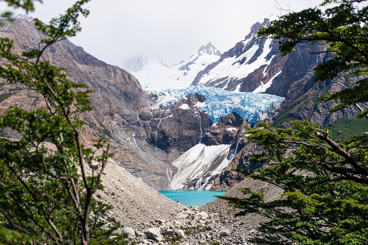
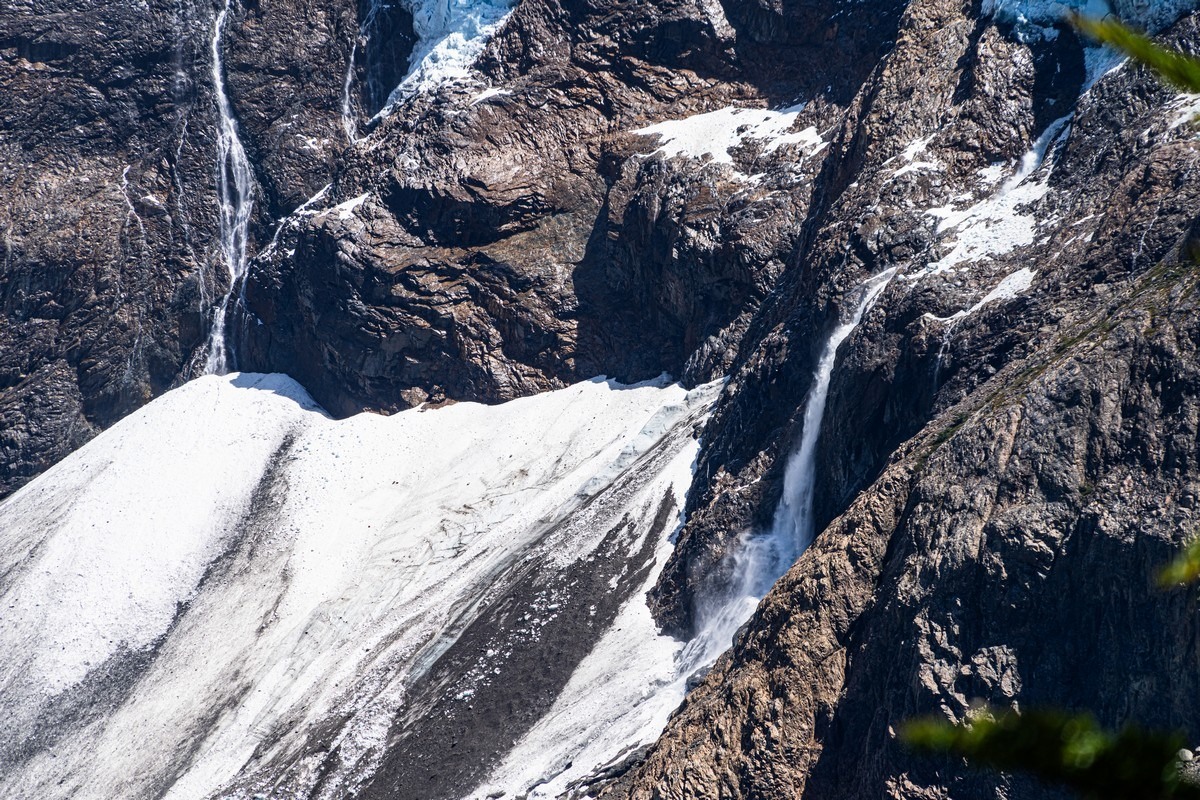
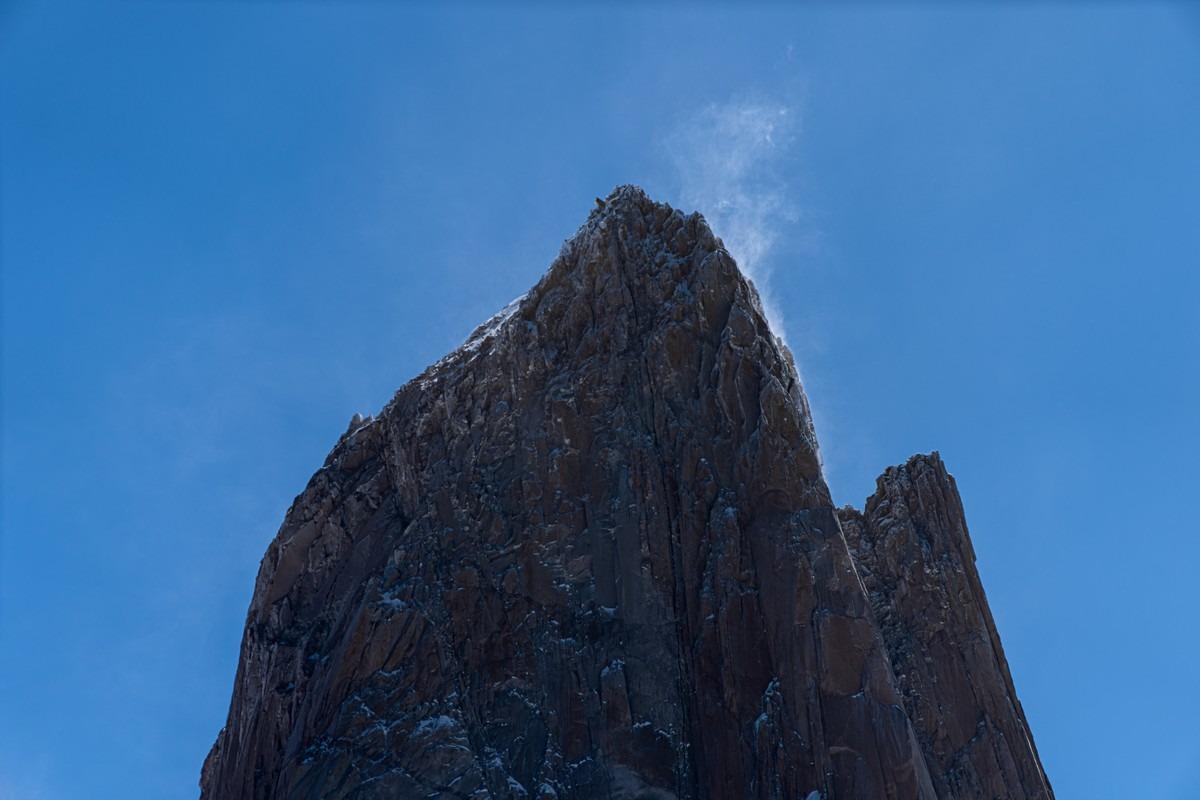
Well, we’ll have to observe the smaller forms.
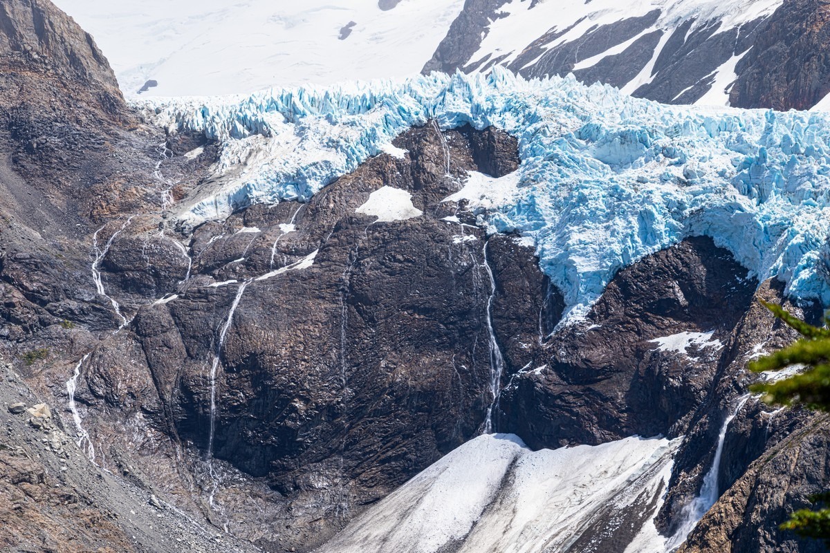
Though, of course, they’re not really “small” ->
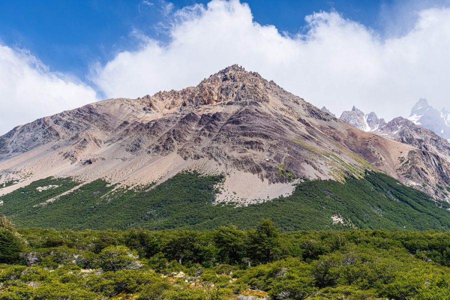
Still, it’s a shame the rest isn’t showing (spoiler: tomorrow it will be). It should have looked like this:
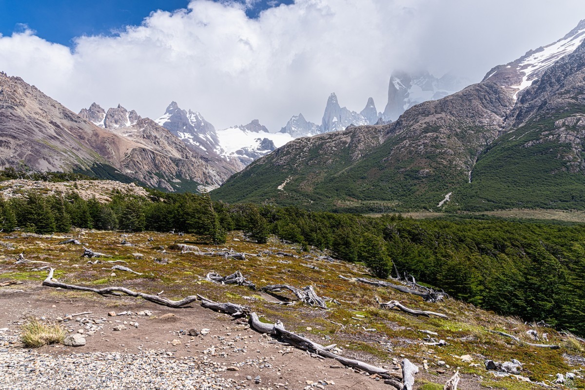
Then the wind started to blow the clouds away! The weather was improving…
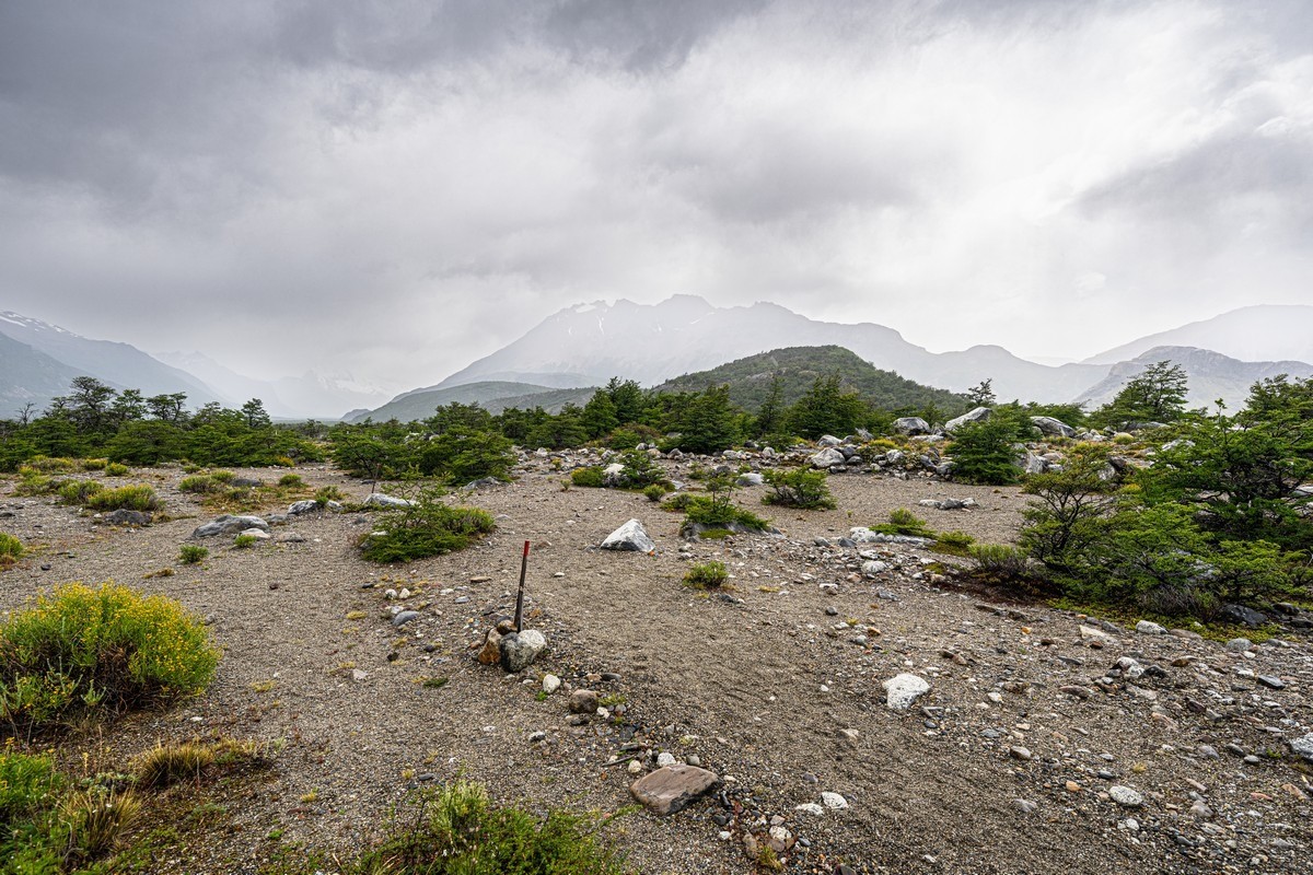
We almost arrived – the forest opened up, turned into bushes (leaning in one direction), and it became almost tundra-like ->
Here I need to explain the local wind. It almost always blows in just the one direction. Why? At these latitudes, there’s a high-pressure area to the west (over the Pacific Ocean) and a low-pressure zone to the east (over the Atlantic). So the wind constantly blows from west to east. How this arrangement formed – I don’t know. Maybe these are “echoes” of the Antarctic vortex – the cyclical movement of air masses around the polar regions, which also blow from west to east – both in the Arctic and the Antarctic.
Meanwhile, we almost arrived…
By the way, the clouds were blown away from the other side and the views look more optimistic:
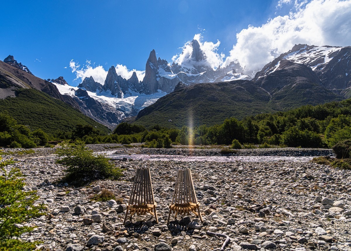
And here we are at the first night’s campsite.
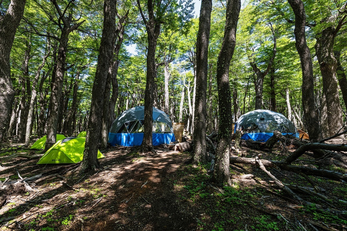
Nice place, and the views are great.
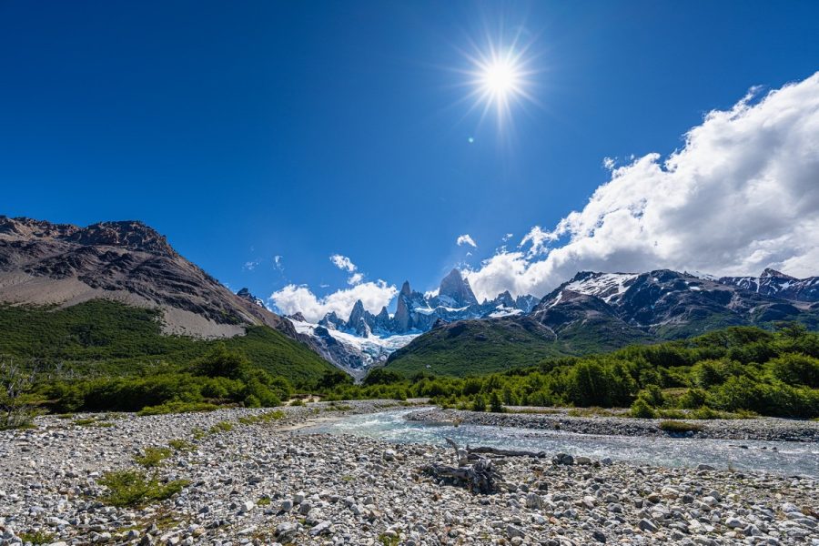
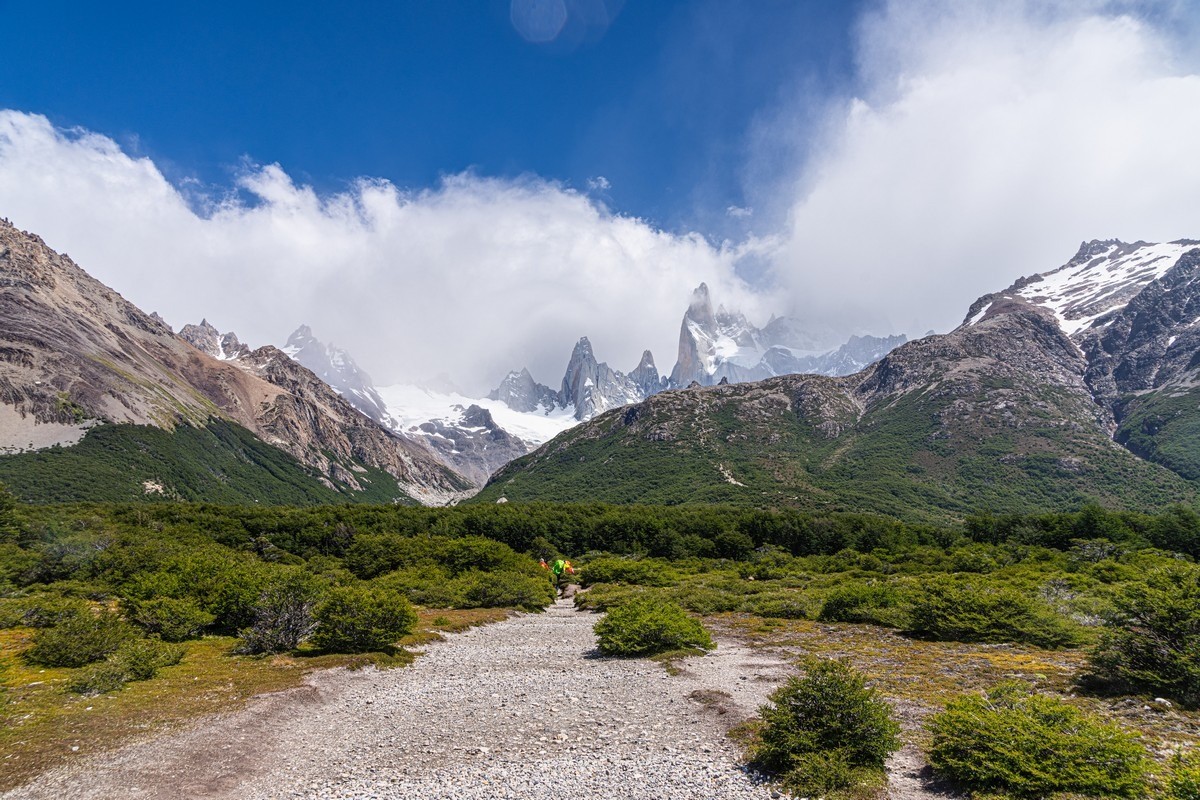
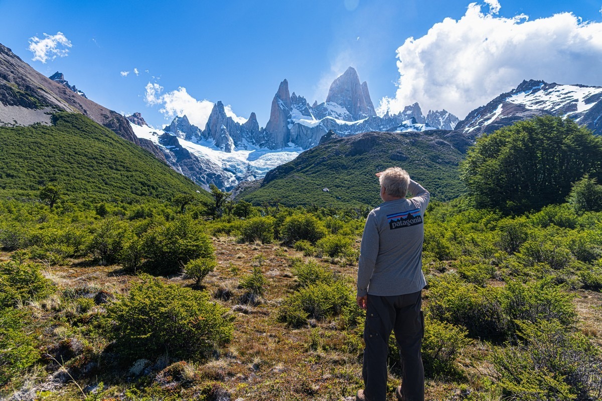
And there’s Fitz Roy itself! The mountain, not the Vice-Admiral :)
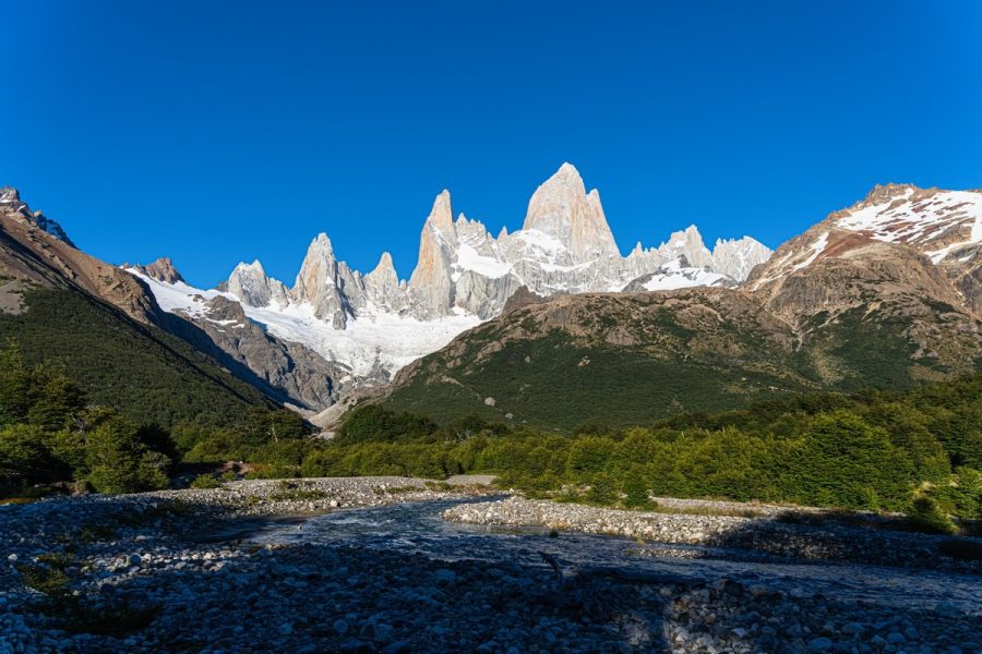
And the weather was really clearing up!
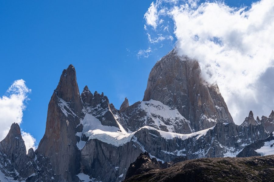
Woah! ->
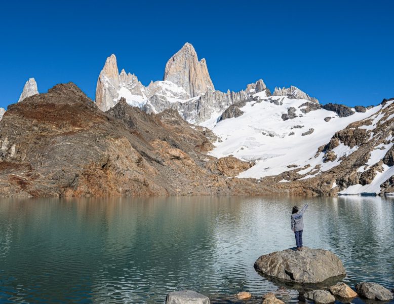
Originally, the plan was to head closer to the cliffs right away to see the sunset views by the glacial lake Laguna De Los Tres. However, after checking the weather forecast, we decided to postpone the hike until morning and enjoy the views from the lower viewpoints for now…
By then, the weather was absolutely smashing!
The day after would be even better!…
The best photos from LatAm-2026 in high resolution are here.

