September 23, 2025
Altai-2025: a bird’s-eye view.
Having completed the hiking leg of our summer vacation, we really wanted to take a last good look at the mountain scenery from a bit higher up – like, for example, from a helicopter window. But since we couldn’t check out everything that way, we instead had our drone take flight for a look around from up there. And the results are great! But of course they were; drone-pilot-extraordinaire DZ was at the controls! ->
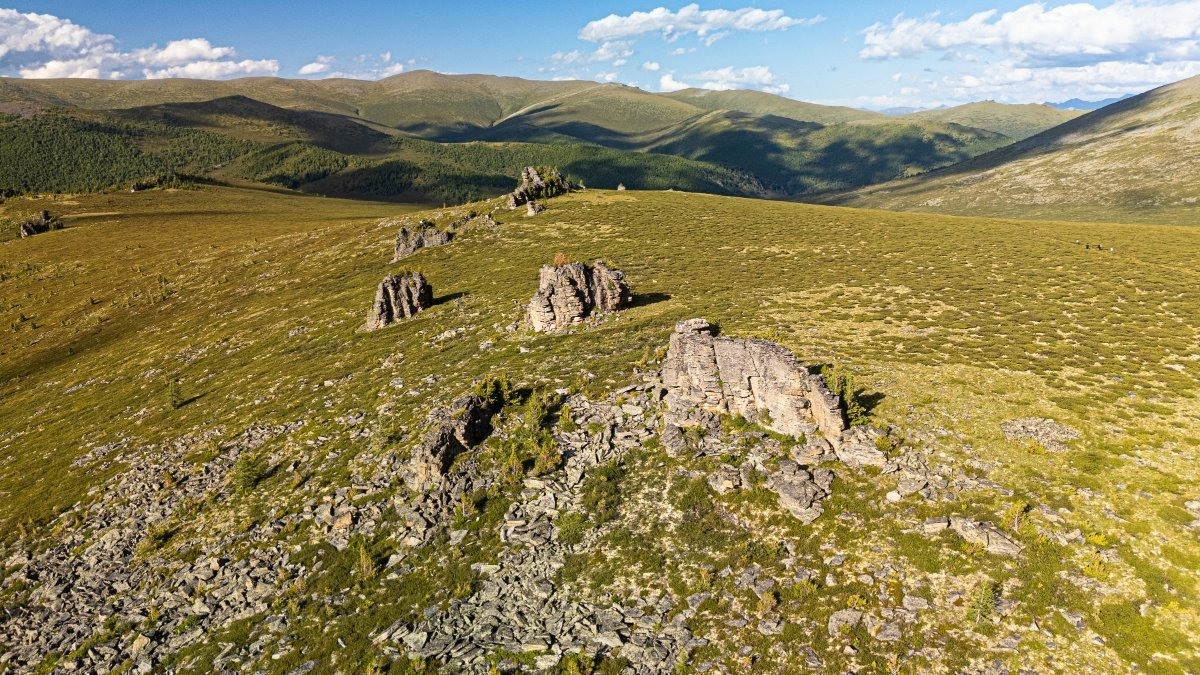
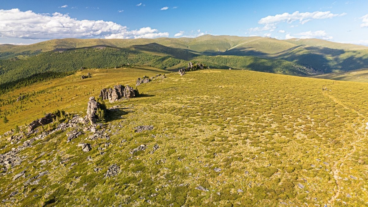
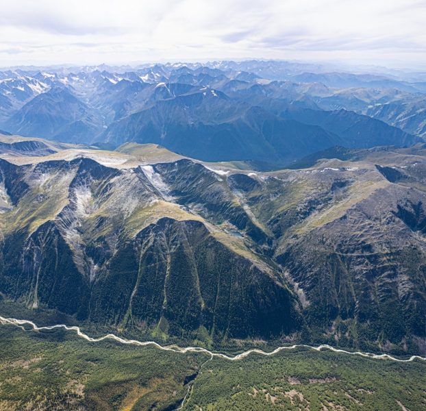
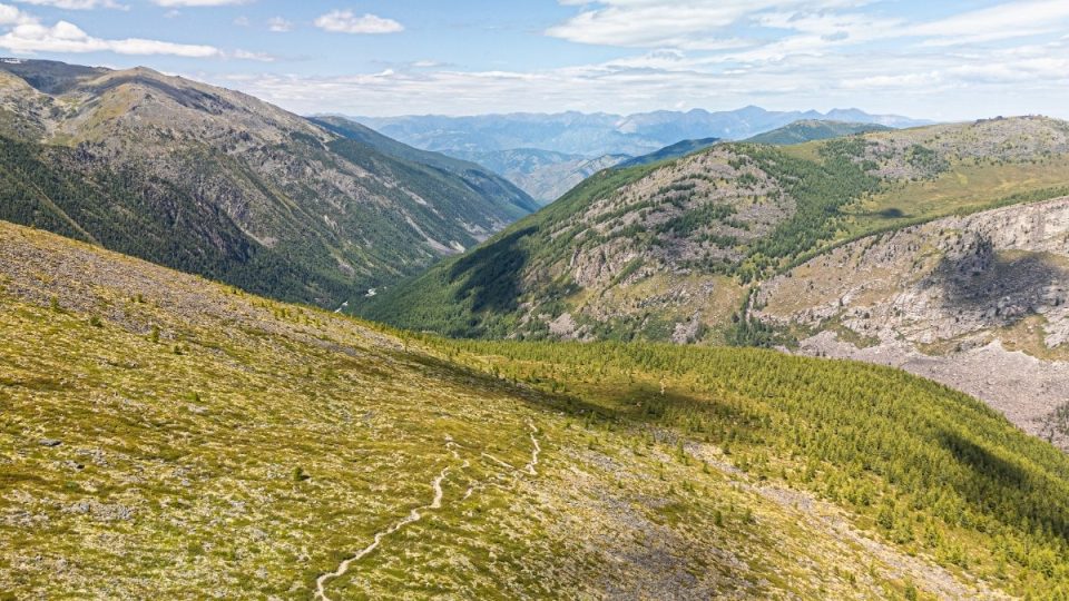
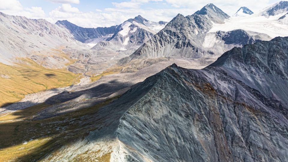
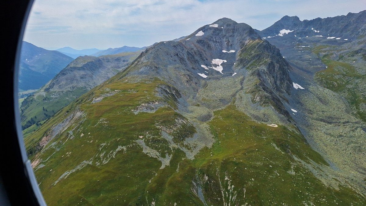
Buttes at the crests of ridges. By the way, you can roughly see the direction of our route here: along (or near) the ridges. And notice how the terrain is quite gentle here – very few steep ups and downs ->
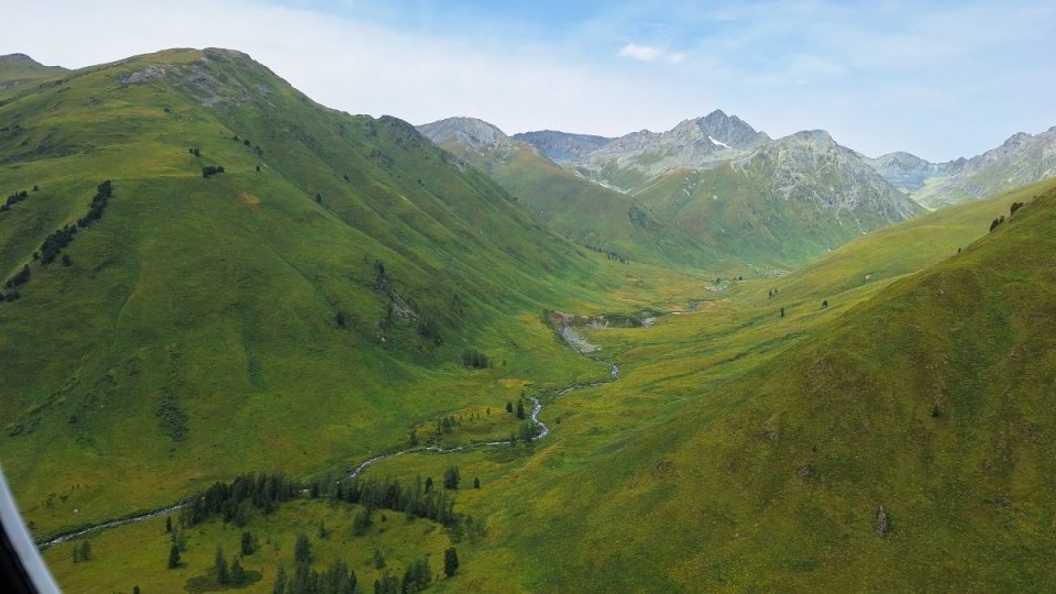
The Tekelyu River – the day after this shot we had quite a bit of “down-and-up” struggling here:
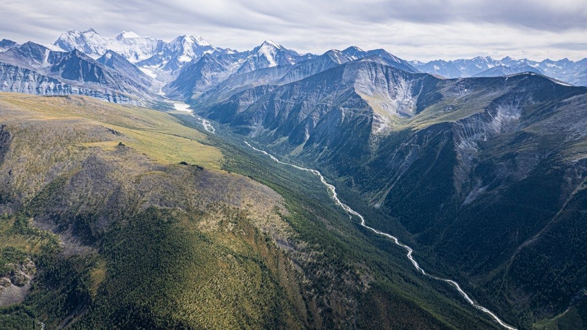
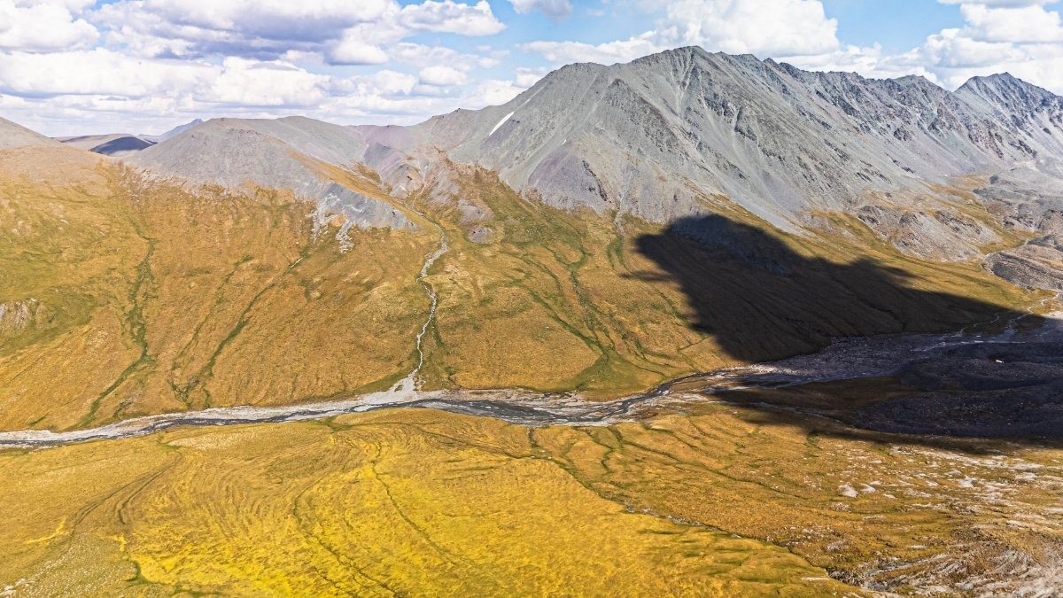
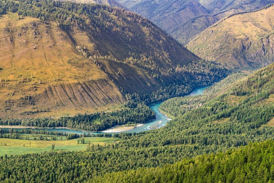
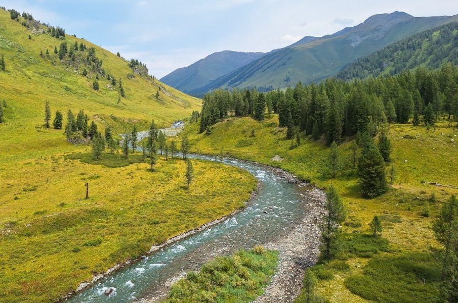
The Akkem River, lower left, heading toward its “big sister”, the Katun:
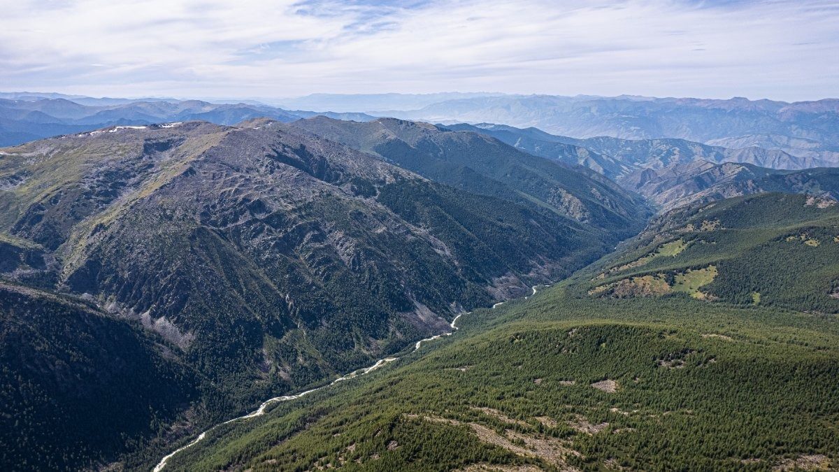
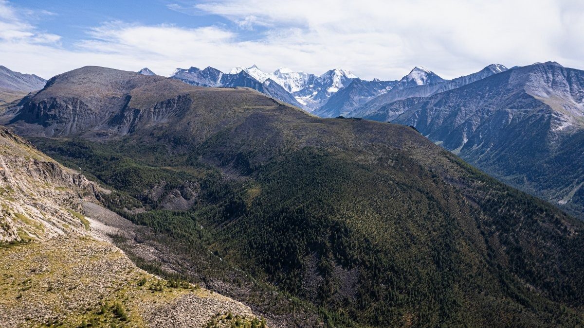
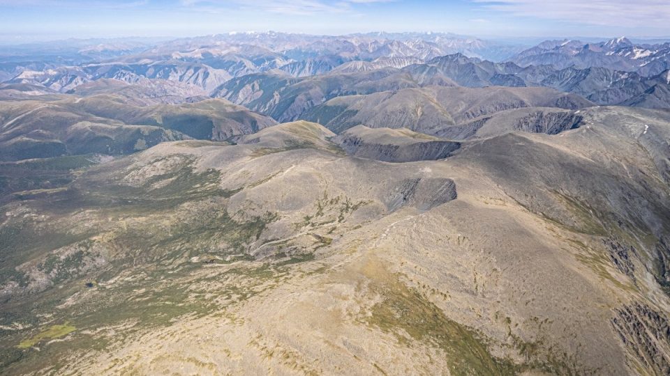
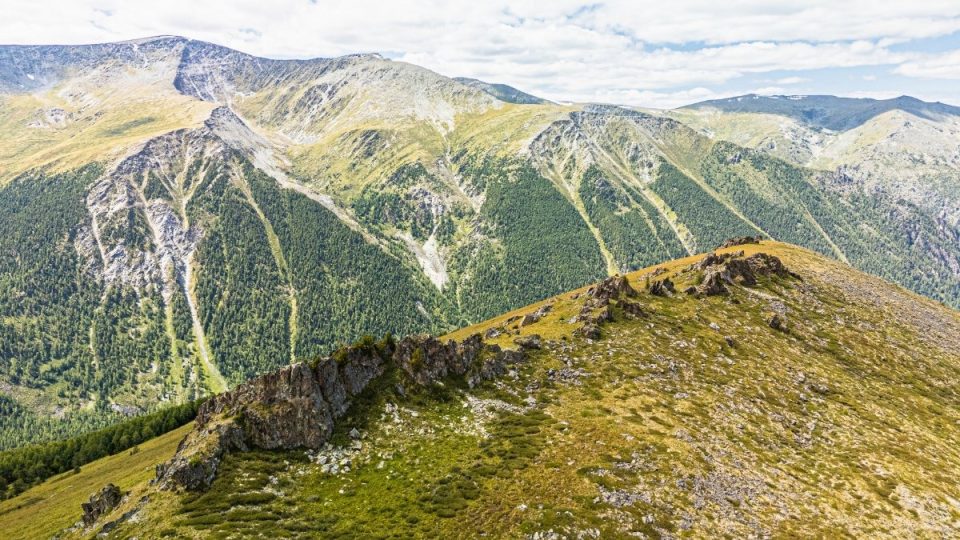
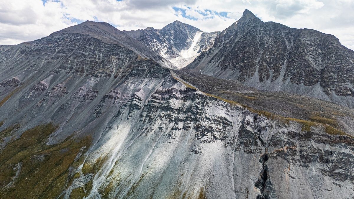
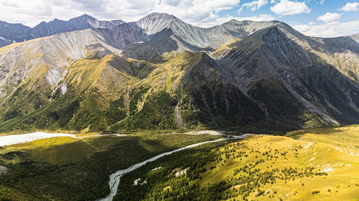
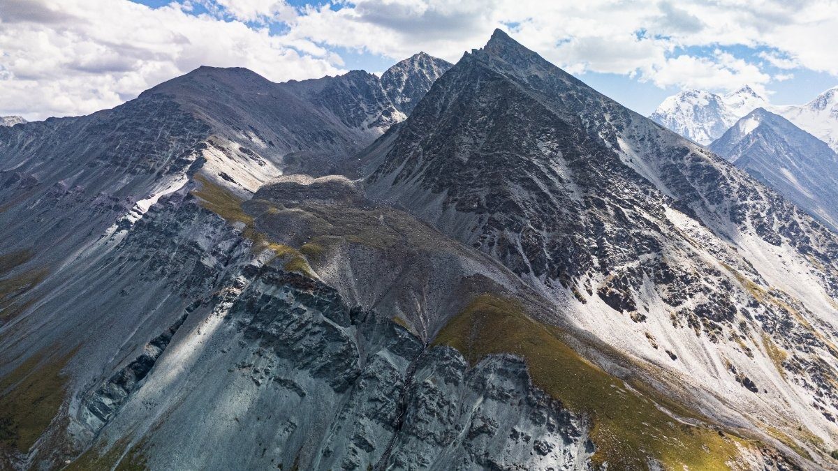
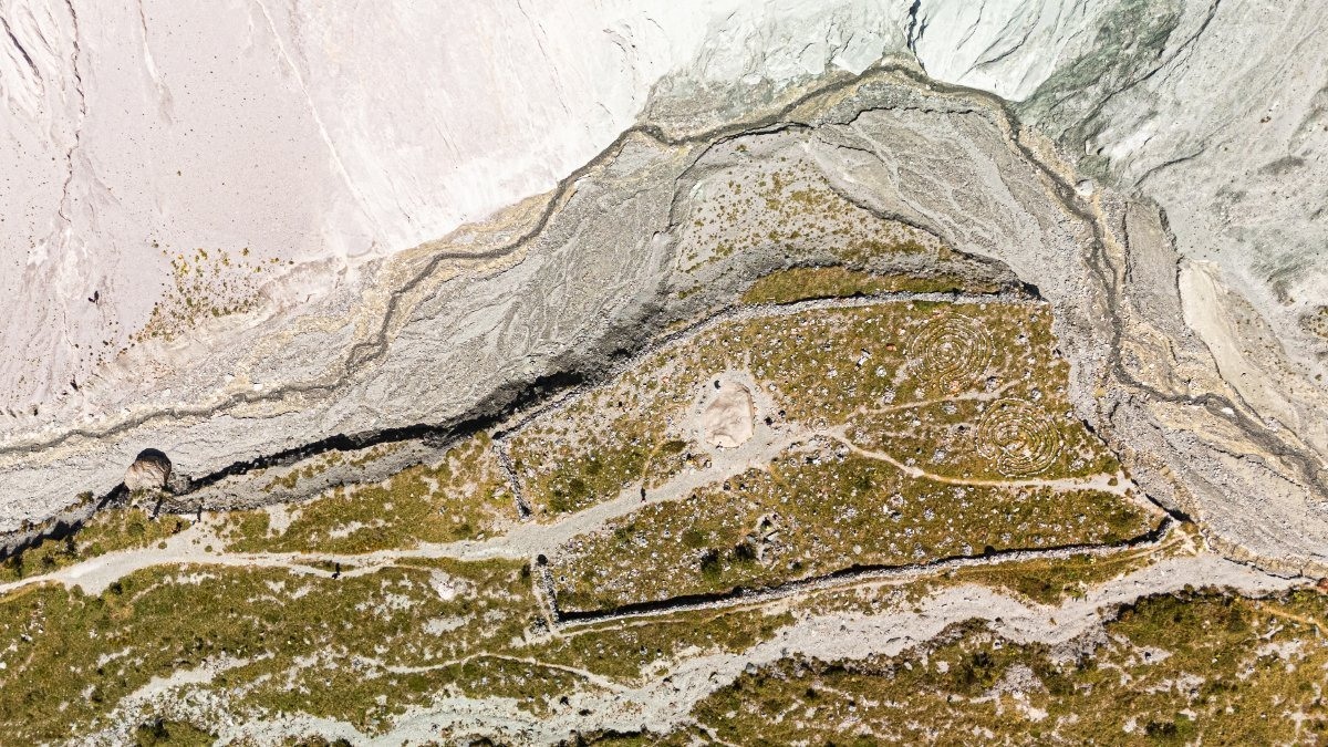
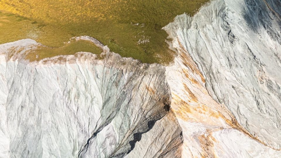
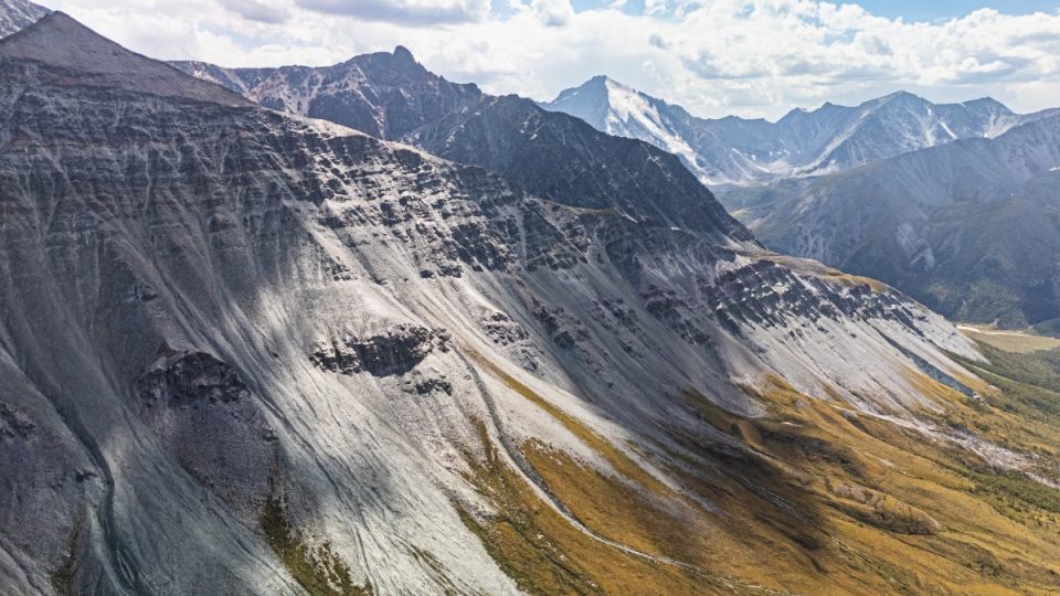
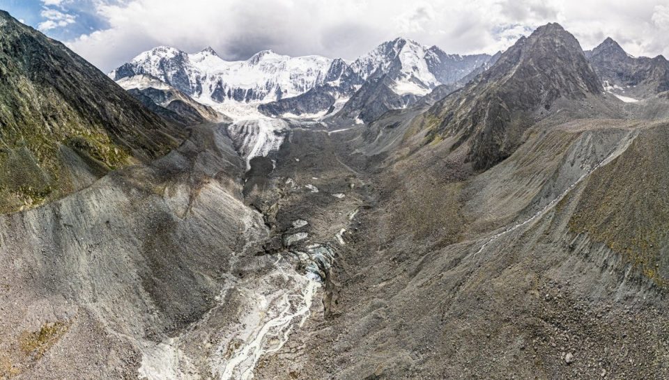
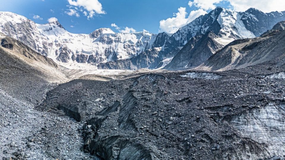
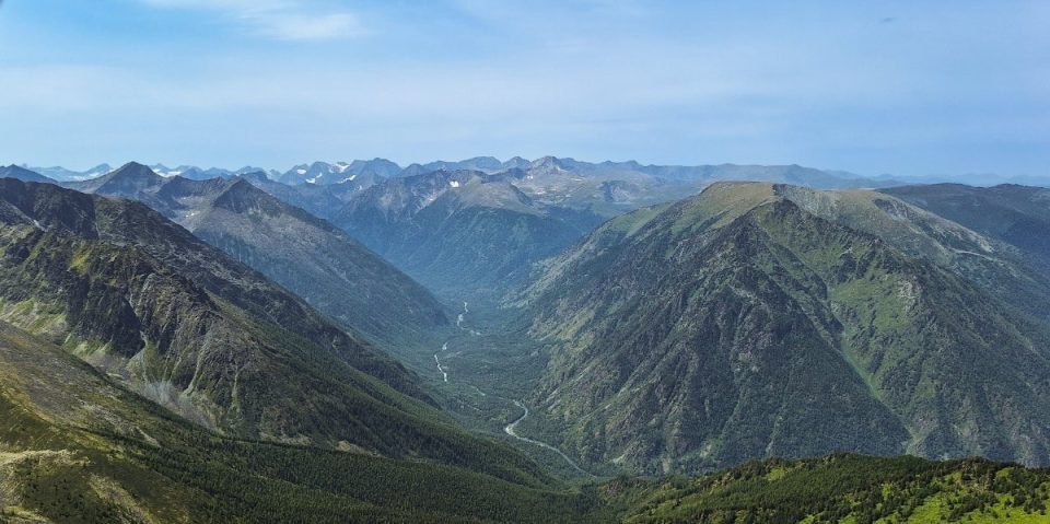
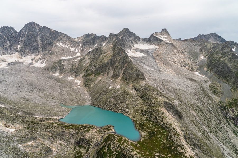
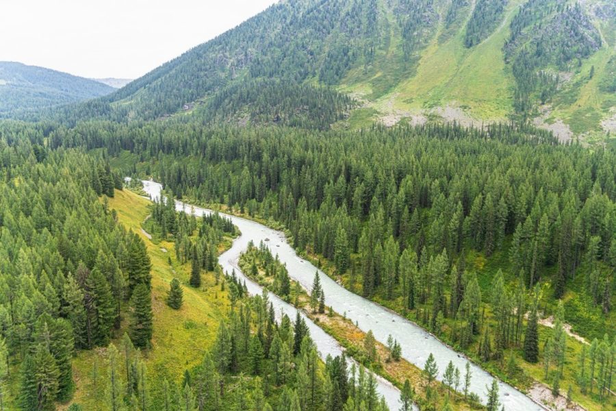
And assorted other views:
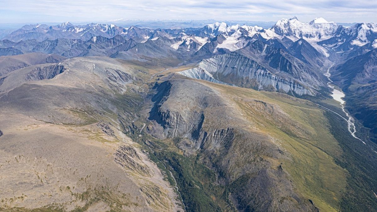
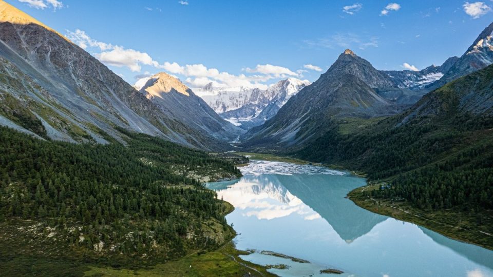
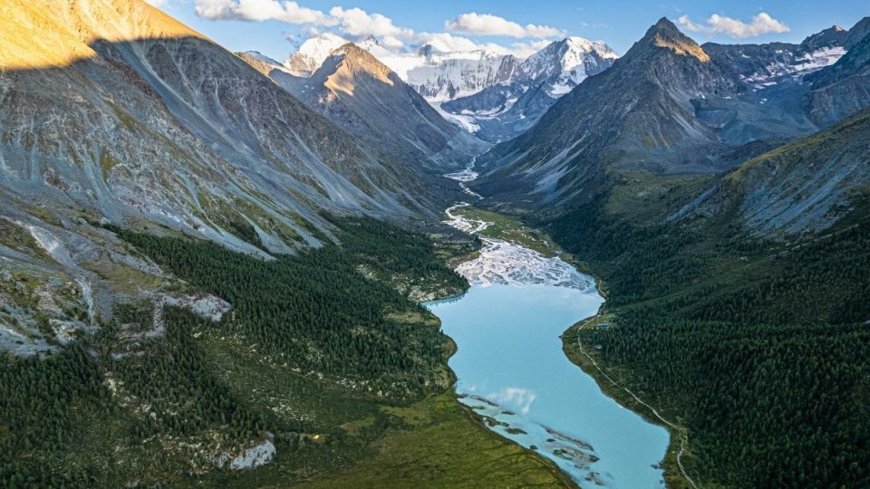
Here’s everything together. Yarlu valley, Akkem Lake, and Belukha Mountain, among other things, all at once:
If you look closely, just left of center you can see a thin jagged line – that’s the trail we climbed on the other bank of the Tekelyu:
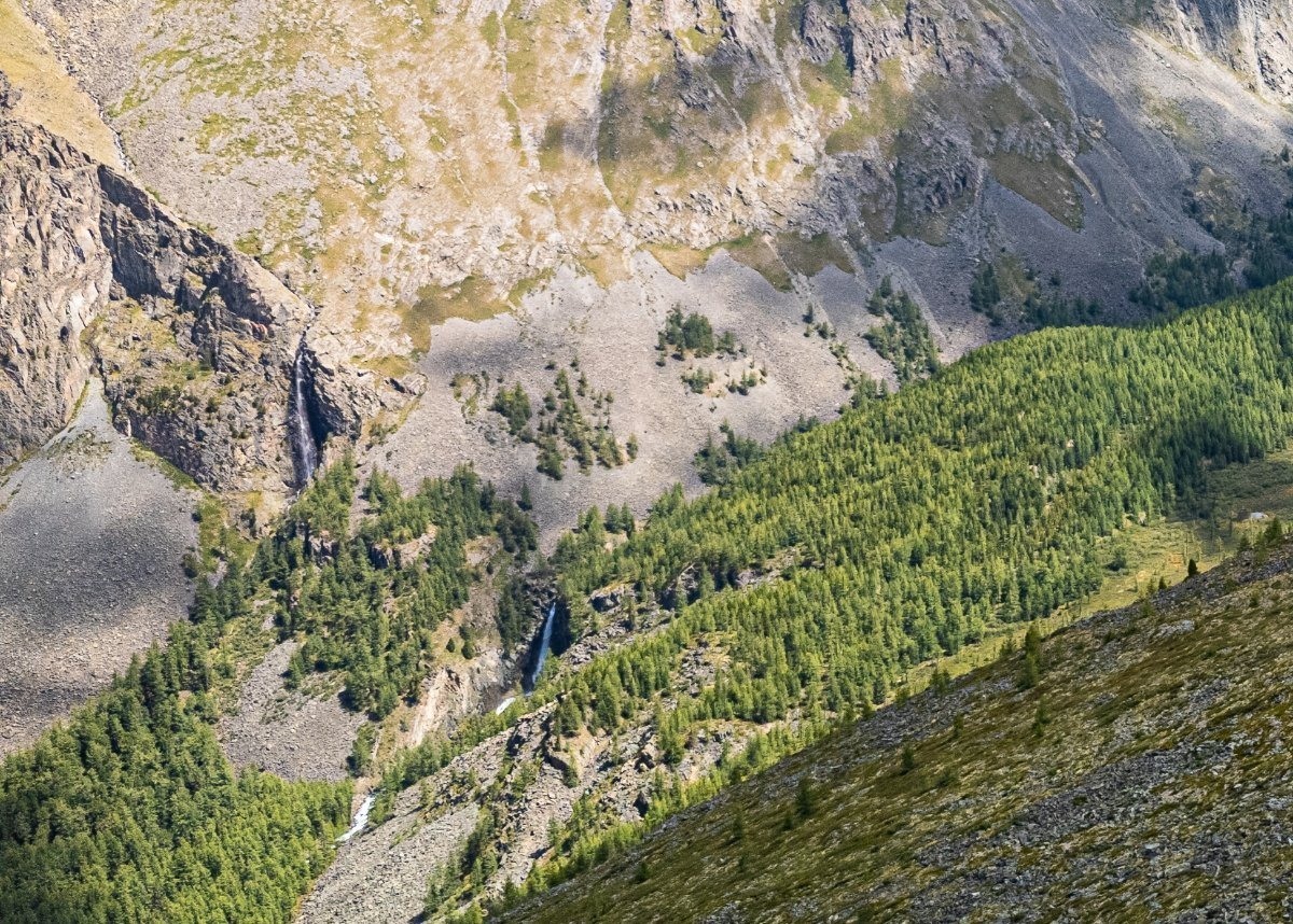
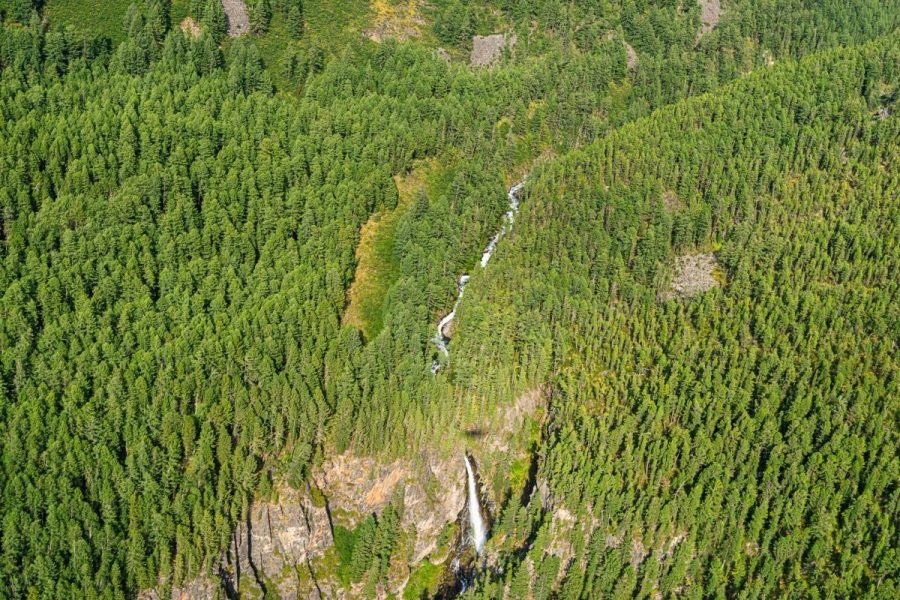
Small but meditative waterfalls:
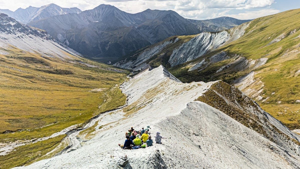
Views from the other side when we’d climbed back up again:
Akkem Lake!
The mountains around Yarlu:
And formations on the other side of the Akkem River:
But the view from Yarlu’s side is much prettier:
And here’s the valley itself – with the rainbow-colored ridge down the middle:
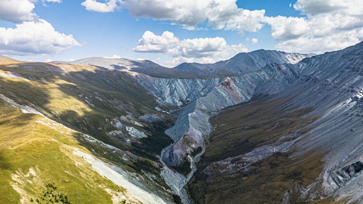
The colors – just mental! And they’re really like that ->
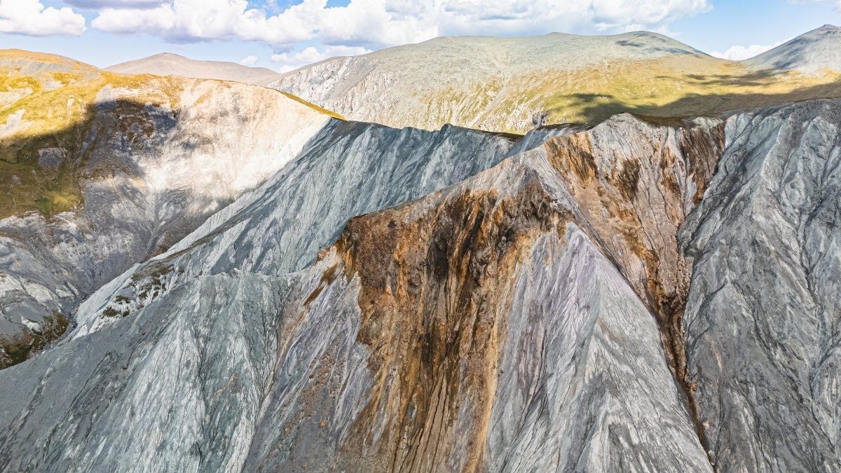
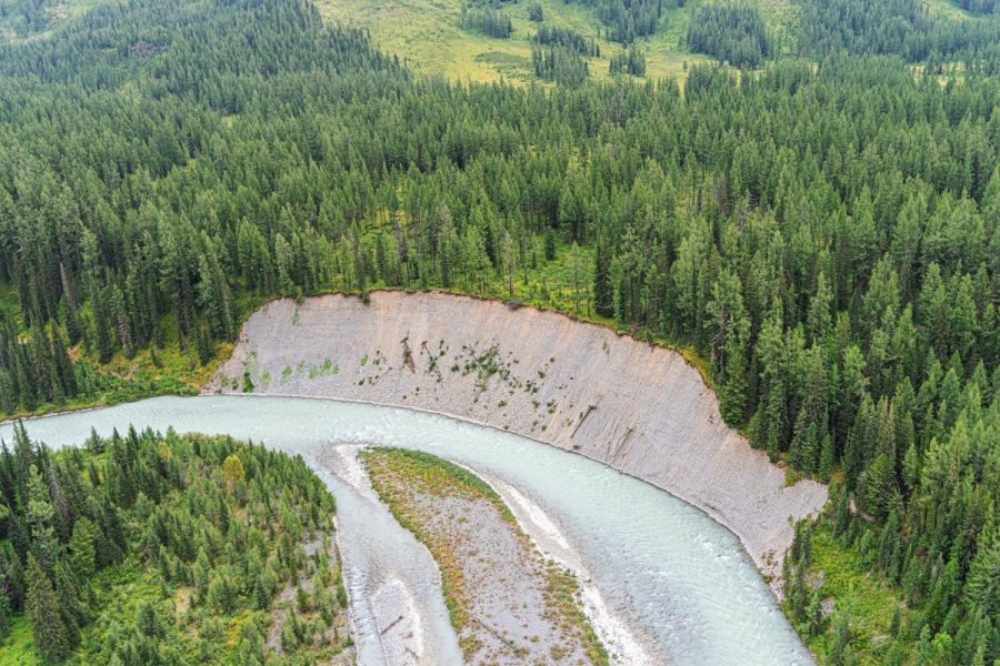
Gorodok – gradually being washed away by erosion:
But sometimes the cursed erosion looks just fantastic!
And this is what’s happening on the other side of the valley. In fact, in 2020 we hiked in from there along the Argut River:
Yarlu – it’s just astoundingly unique, meditative, and mind-blowing (as I’ve said before). You could meditate here forever…
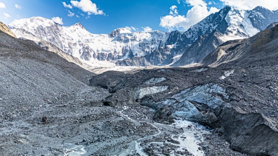
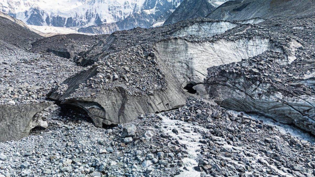
Next up – the Akkem Glacier. Sadly, we only made it to its edge this time; you need more time for the rest… – yes, I’ve already complained about it.
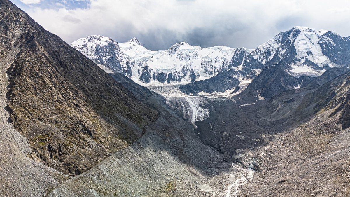
A drone’s-eye view from the glacier looking toward Akkem Lake:
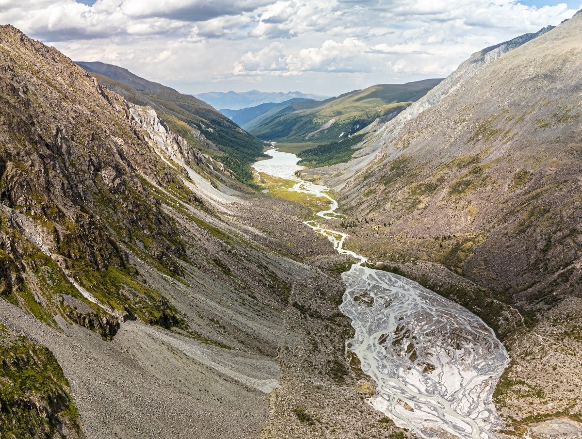
Right here’s the source of the Akkem River:
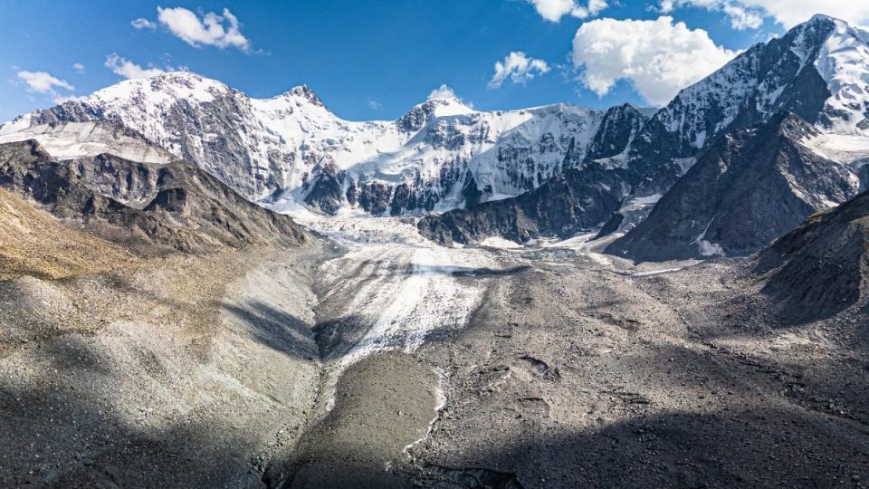
Here’s the very beginning of the river:
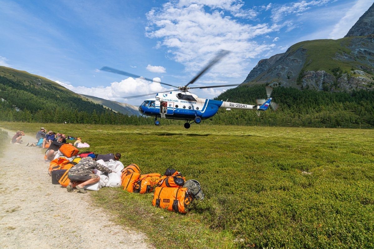
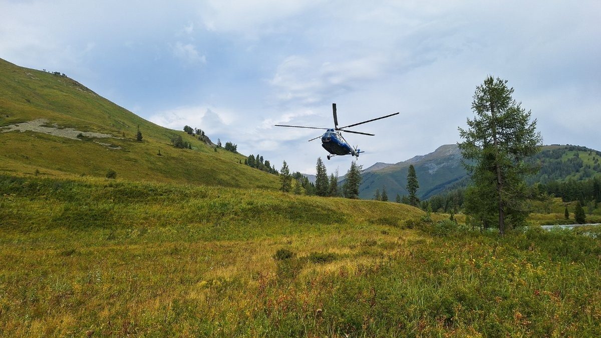
Here the droning ends. Now for some views taken from the chopper on our way to the start of the Katun-rafting leg of our trip ->
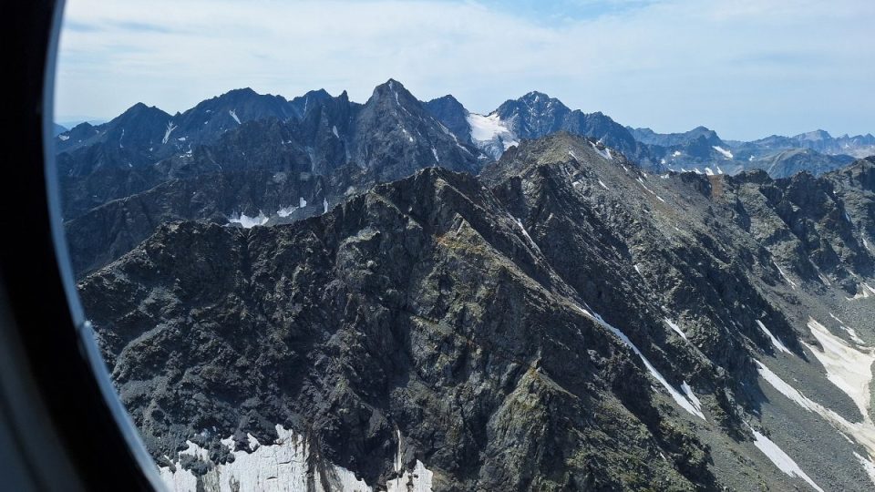
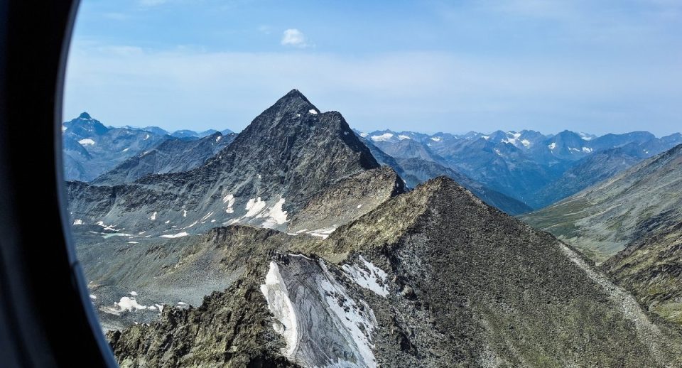
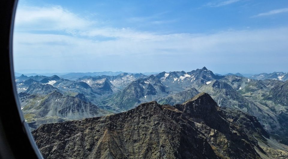
Scenes through the window are just gorgeous:
Flying over the Katun Range:
Here’s the Upper Kuragan River; its mouth is where we were heading:
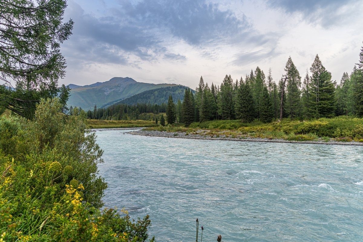
And here’s the Katun itself:
Alas, they set us down on the right bank. The helicopter crew told us that from the meadows on the left bank they might not be able to take off. Too bad – the meadows on the other side are nicer and a bit more comfortable…
And the worst part – a mosquito and midge invasion. There almost never used to be any of these around here! Sadly, something must have changed in the ecosystem around here… Or maybe this particular meadow is just home to extra swarms of these annoying pests, and on the other side there are none? A little further down the river, there were almost no mosquitoes or gnats – back to normal. How so?!
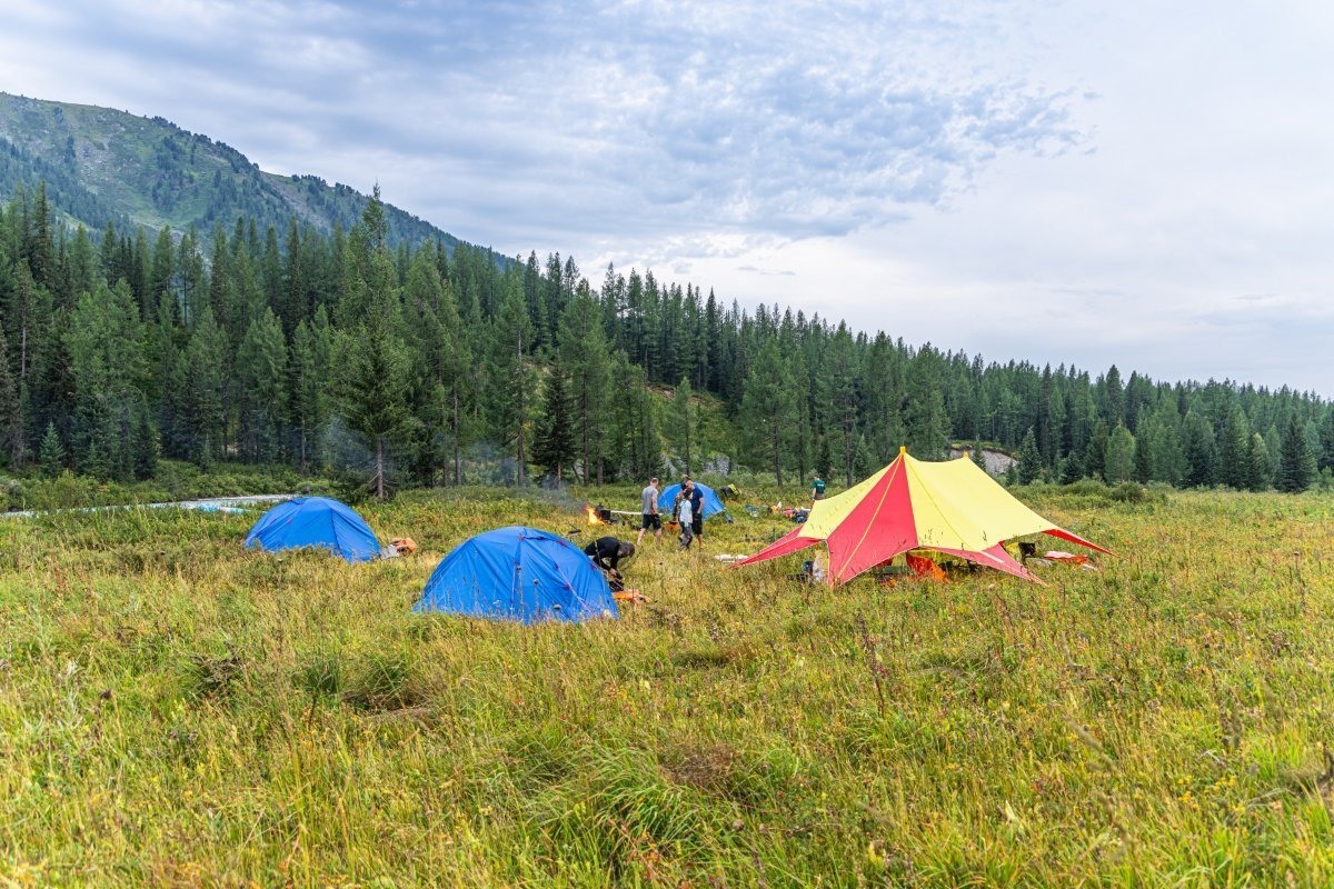
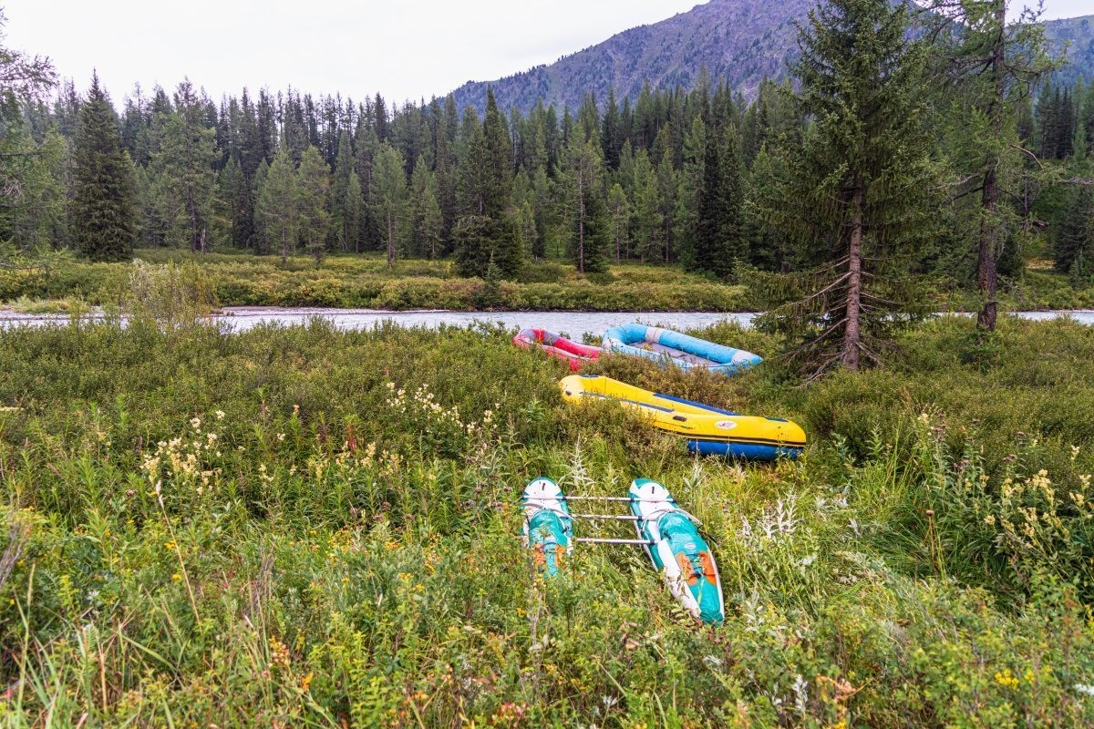
The boats (rafts and catamaran) are ready ->
Tomorrow – time to hit the water!…
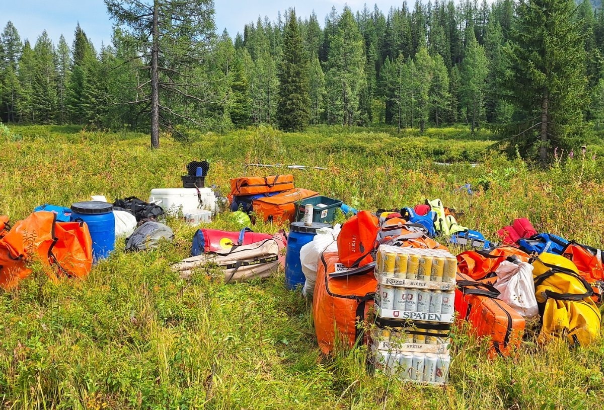
All set (and still with plenty of beer left!) ->
TBC!…

