June 14, 2024
Tiksi expedition 2024 – Kolyma Highway, then the “Arctic” winter road to Sasyr.
All these business trips of mine and the corresponding blogposts of late have kept me from continuing my tales from the ultra-frozen side – from our Yakutsk-Tiksi-Yakutsk winter/ice-road expedition. That all stops here!…
So, where was I?…
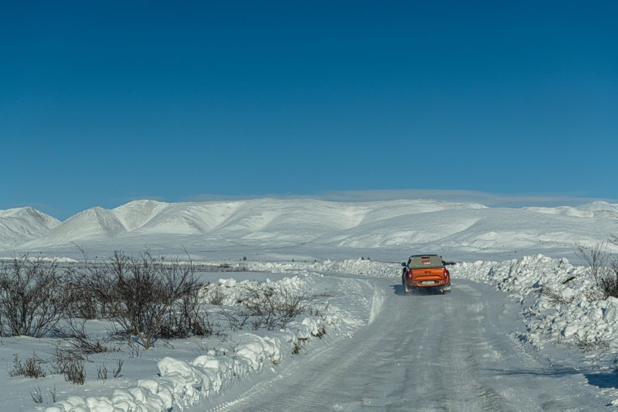
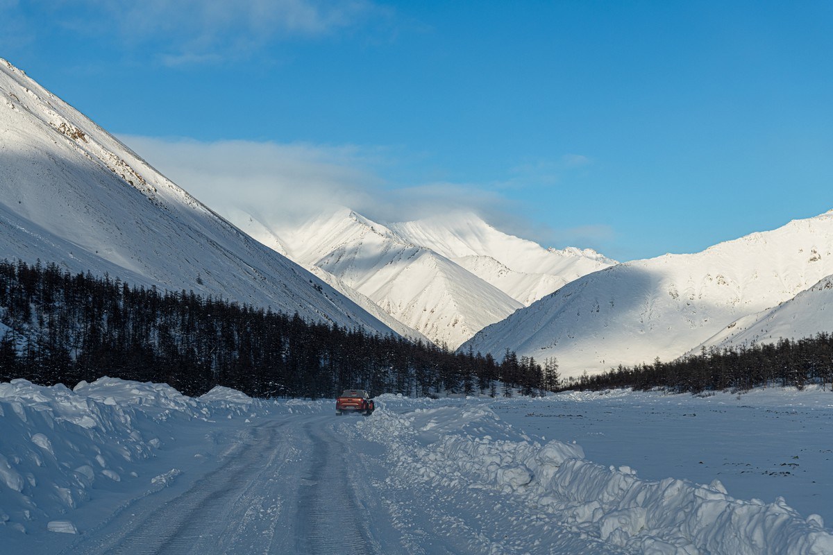
Ah yes. Our original plan of heading north along the frozen Indigirka river had been scuppered since the Indigirka Tube had flooded. It was therefore decided by the more experienced among us to take the Arctica winter road instead. So, leaving the village of Ust-Nera, we did just that. Straight away – wonderfully wintery Siberian scenes ->
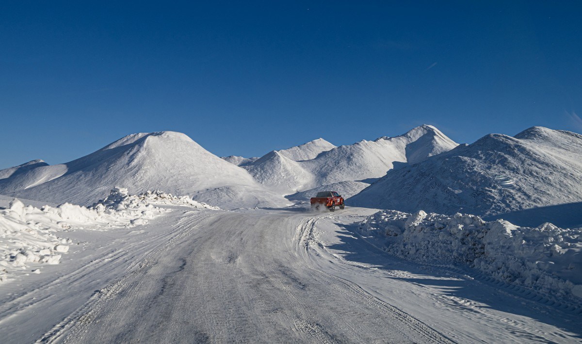
Our expedition leader – former long-distance trucker Alexander Elikov – had done the full length of this winter road plenty of times in both a trucks and Toyotas. His comments to us about it both soothed and instilled some worry at the same time: “It’s a fairly straightforward winter road; the only issue is that it’s so long and monotonous that by the end of it you’re bored silly”. Oof.
Early on, however, we were anything but bored – so enthralled were we by the passing scenery ->

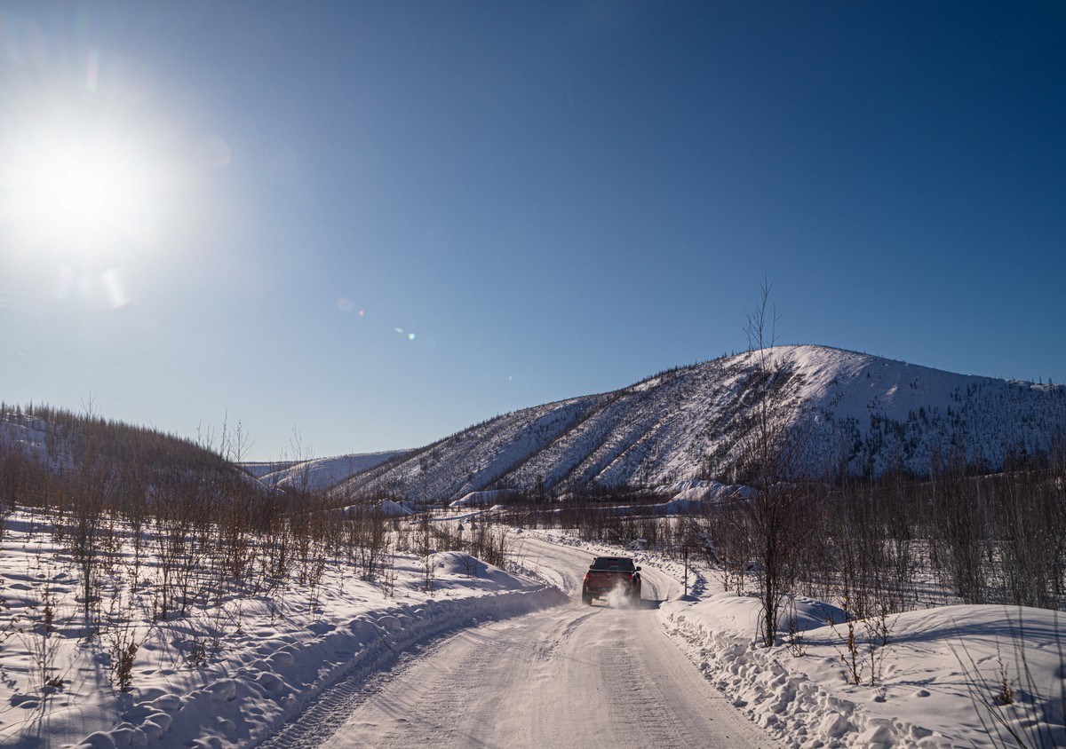
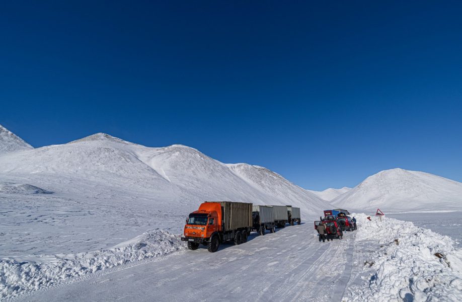
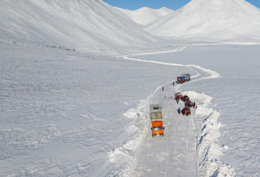
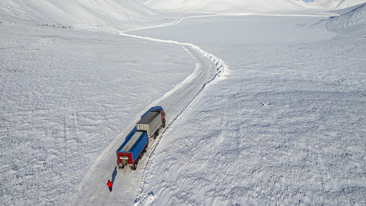
David and Goliath – Arctic winter-road version! ->

Here you can see why we kept our speeds to around 10km/h ->

Ooh – I remember these signs at this turn. We stopped at them in both 2021 and 2022. Of course we stopped this year too for a pic. Actually, this is where the Arctic winter road begins…
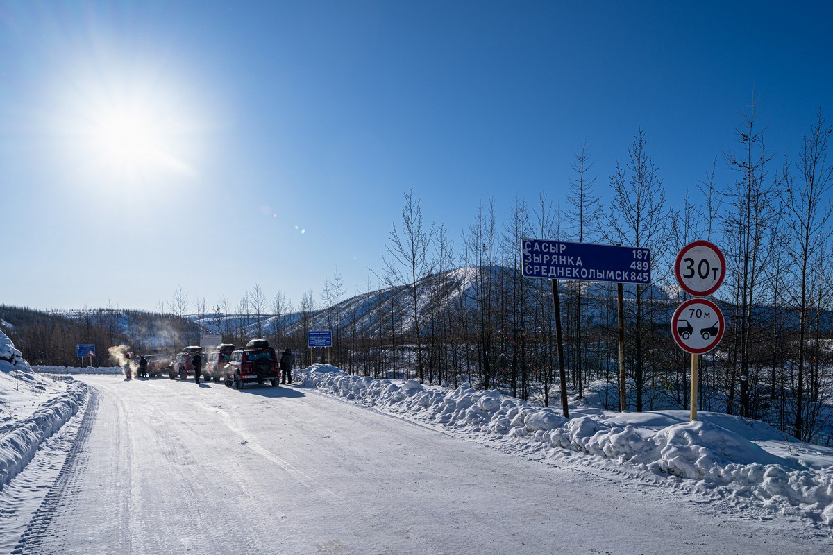
…As indicated by that there “0” ->
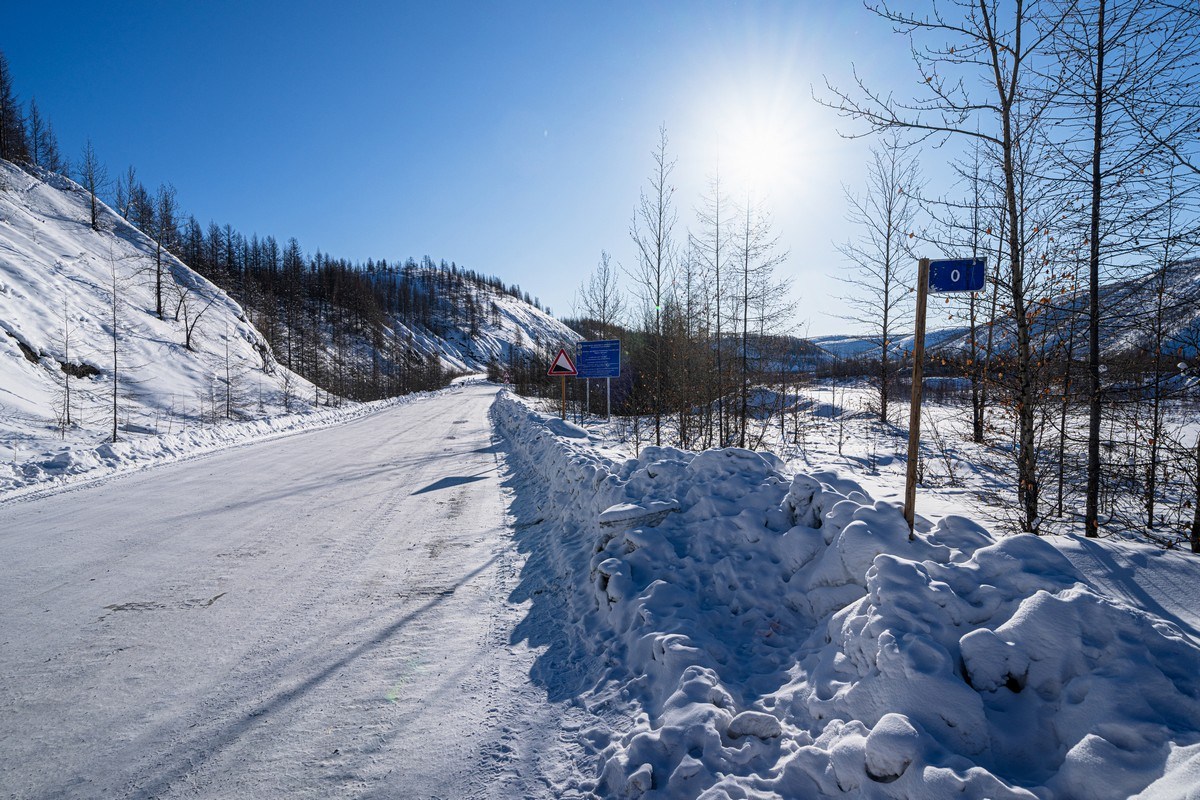
But don’t be fooled by that “845”; the winter road goes much further than Srednekolymsk – all the way to Pevek, some 2100km away, making it the longest arctic road in the world. I’ve even heard of some mad hatters going further than Pevek: all the way to Cape Dezhnyov (the route to which even Yandex Maps doesn’t show!) ->

// The above map, btw, is from Russia’s answer to Google – Yandex (Yandex Maps). Curiously, it shows the winter road route from Ust-Nera to Pevek – even though it’s not a permanent road. Respect! In Google Maps, however, if you enter that same route – nothing is shown: Google hasn’t gotten round to marking winter/ice roads yet. Come on Google – get a grip and catch up!
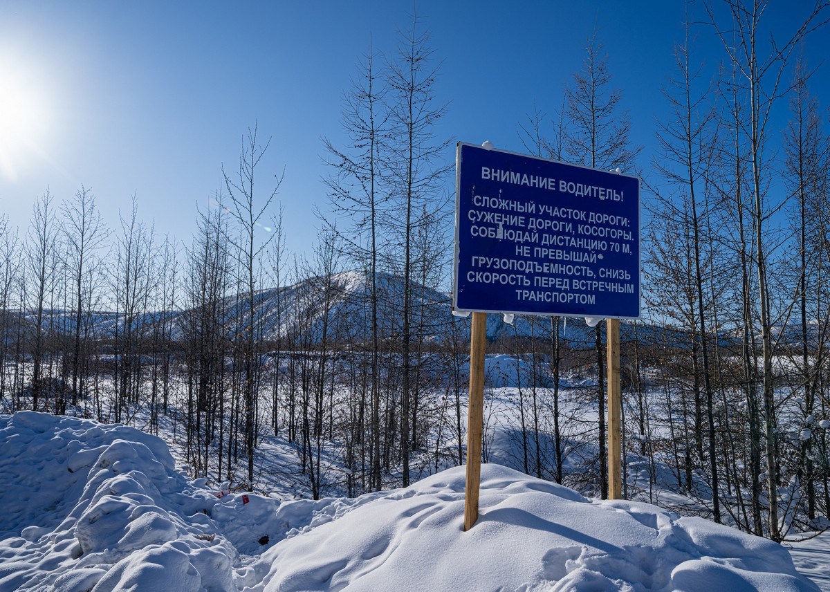
ATTENTION DRIVER!
A DIFFICULT STRETCH OF ROAD AHEAD:
NARROWING OF THE ROAD, SIDE-SLANTING ROAD STRETCHES.
KEEP YOUR DISTANCE FROM THE VEHICLE IN FRONT TO AT LEAST 70M
DO NOT EXCEED LOADBEARING CAPACITY, REDUCE SPEED WHEN APPROACHING ONCOMING TRAFFIC
On this day we didn’t have far to go at all – just 190km, but given the going would be slow, we wouldn’t make the day’s destination before sundown…
At first the winter road was reasonably smooth – permitting speeds of a 30-50km/h. As we drove, our leader Alexander told us tales from the extreme-winter-road side over the walkie-talkies. Duly astonished, we wondered if we were going to encounter such OMG experiences. We just had to wait and see…
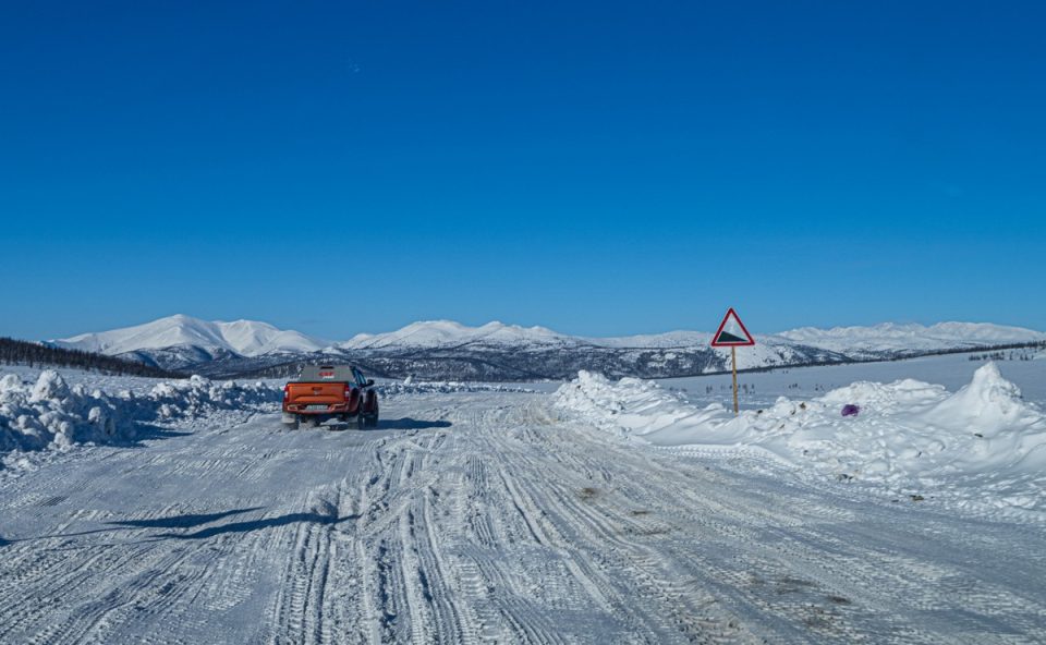
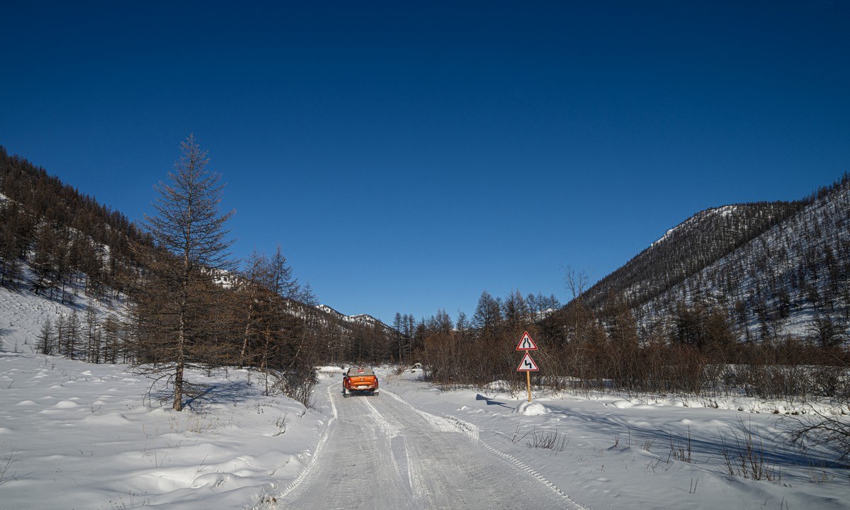
Road signs! The only thing missing – a proper road! ->
After a while – the “road” gets bumpy ->

…And it stayed bumpy and the going was thus slow for most of the rest of the way this day…

Sometimes (alas – rarely) the ice road was fairly smooth – prompting speeds of up to 30km/h! ->
The smooth stretches tend to be away from the hills/mountains. In among them – it’s back to bumpiness ->
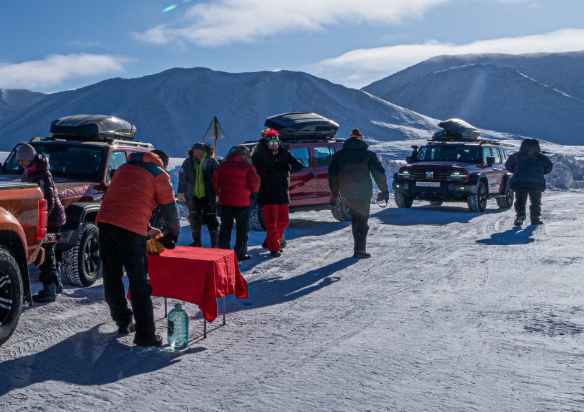
Lunch break!
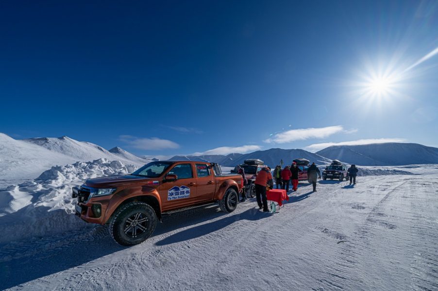
…And I mean a proper lunch – with table and table cloth! ->
Down into our bellies went the food; up into the sky went the drone…
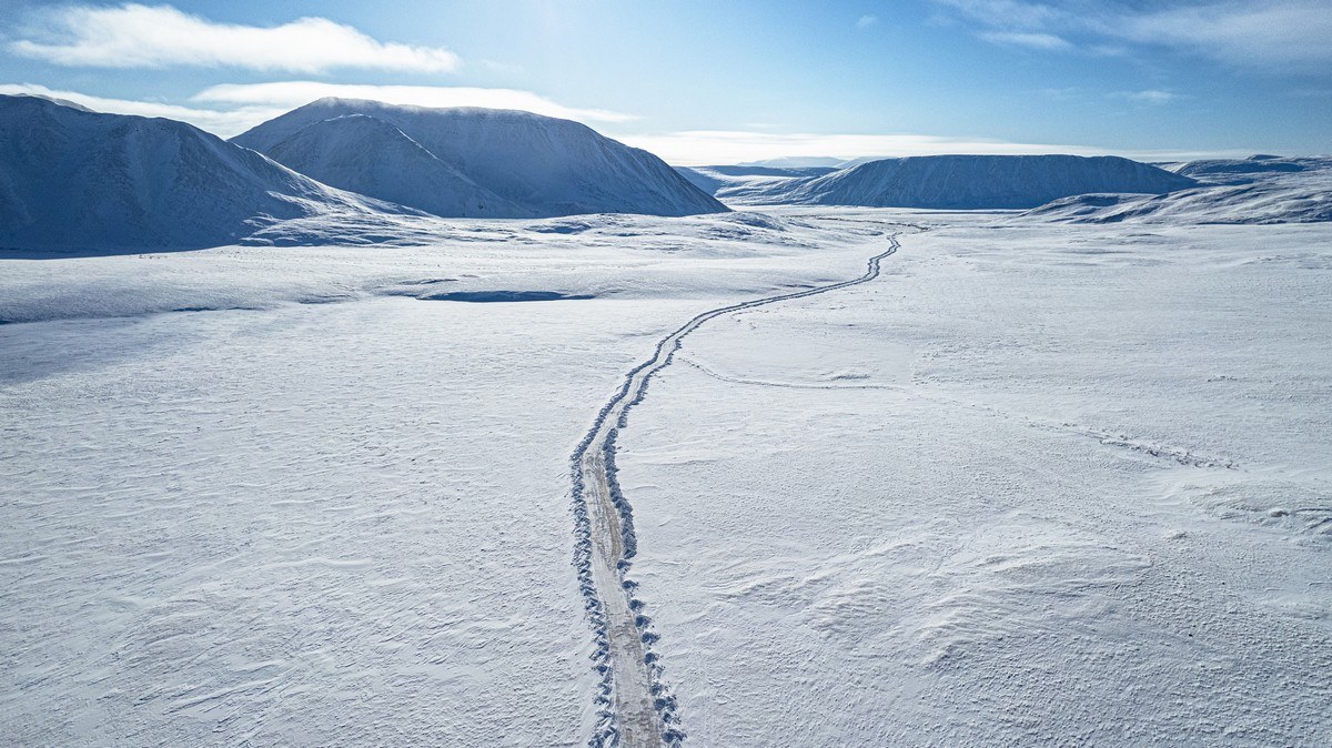
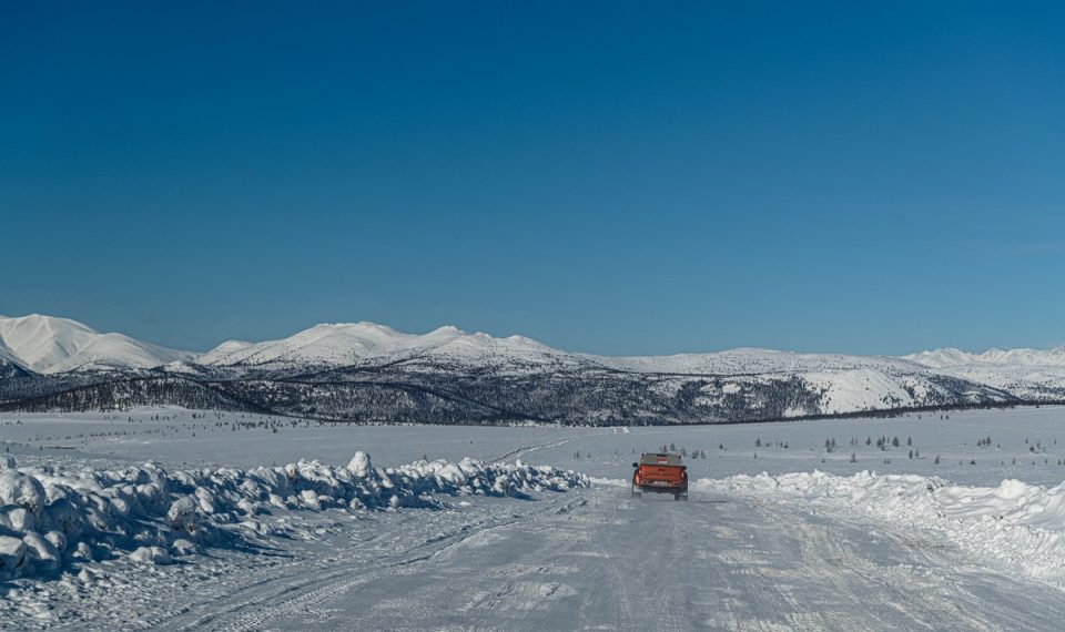
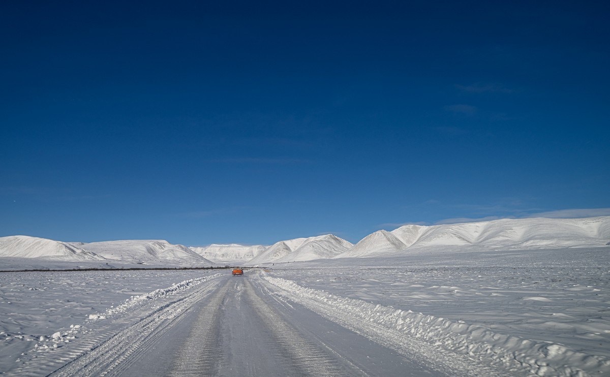
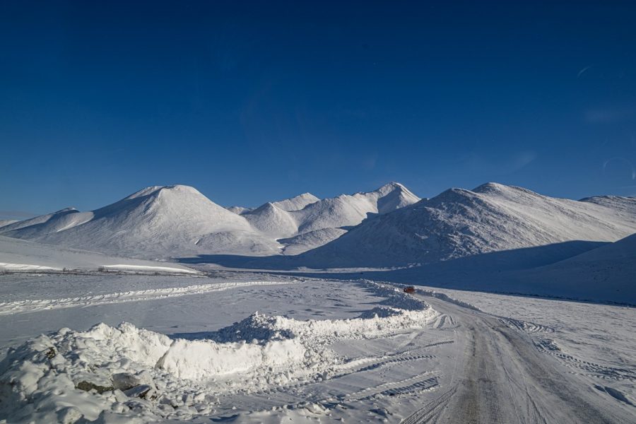
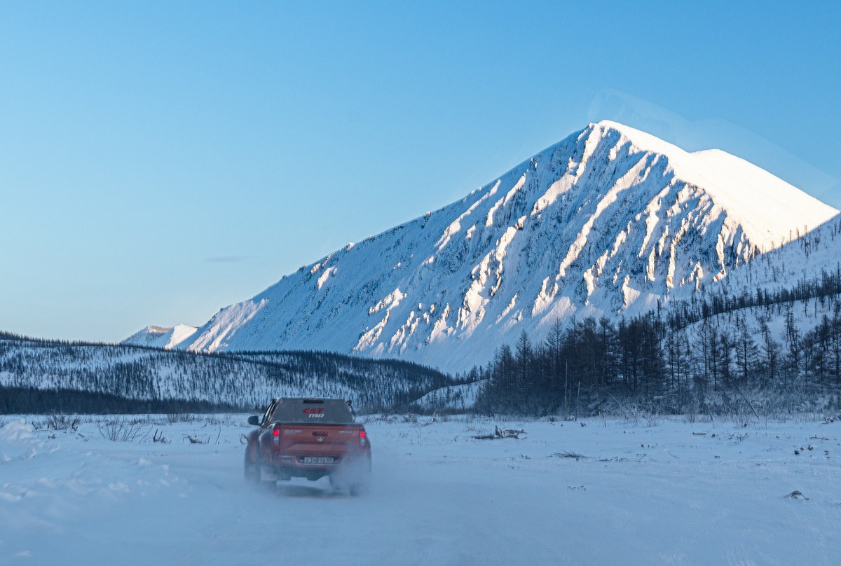
White mountains in every direction:


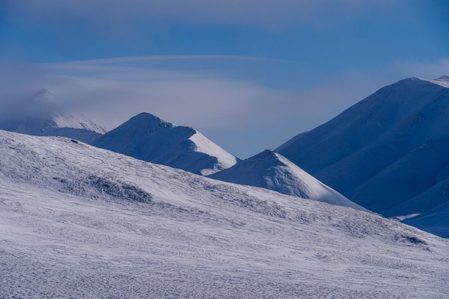
Blasted by high winds through and through, yet still mostly white everywhere:
That’s where we came from:
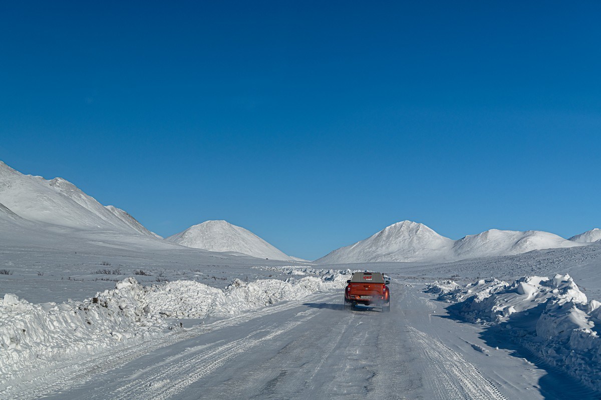
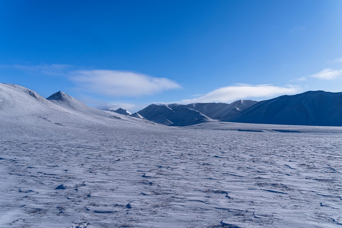
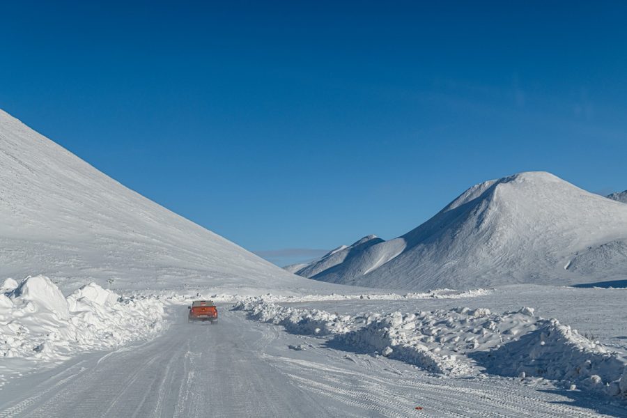
And here’s where we were headed:
Though the gradient here isn’t too steep, it’s still hazardous for heavily-laden trucks; accordingly, drivers place special anchoring “slippers” under the rear wheels of their trailers to maintain control. When I saw such a thing (for the first time ever), I realized why such long-distance freighting to the world’s remotest northern reaches only takes place just once or twice a season…
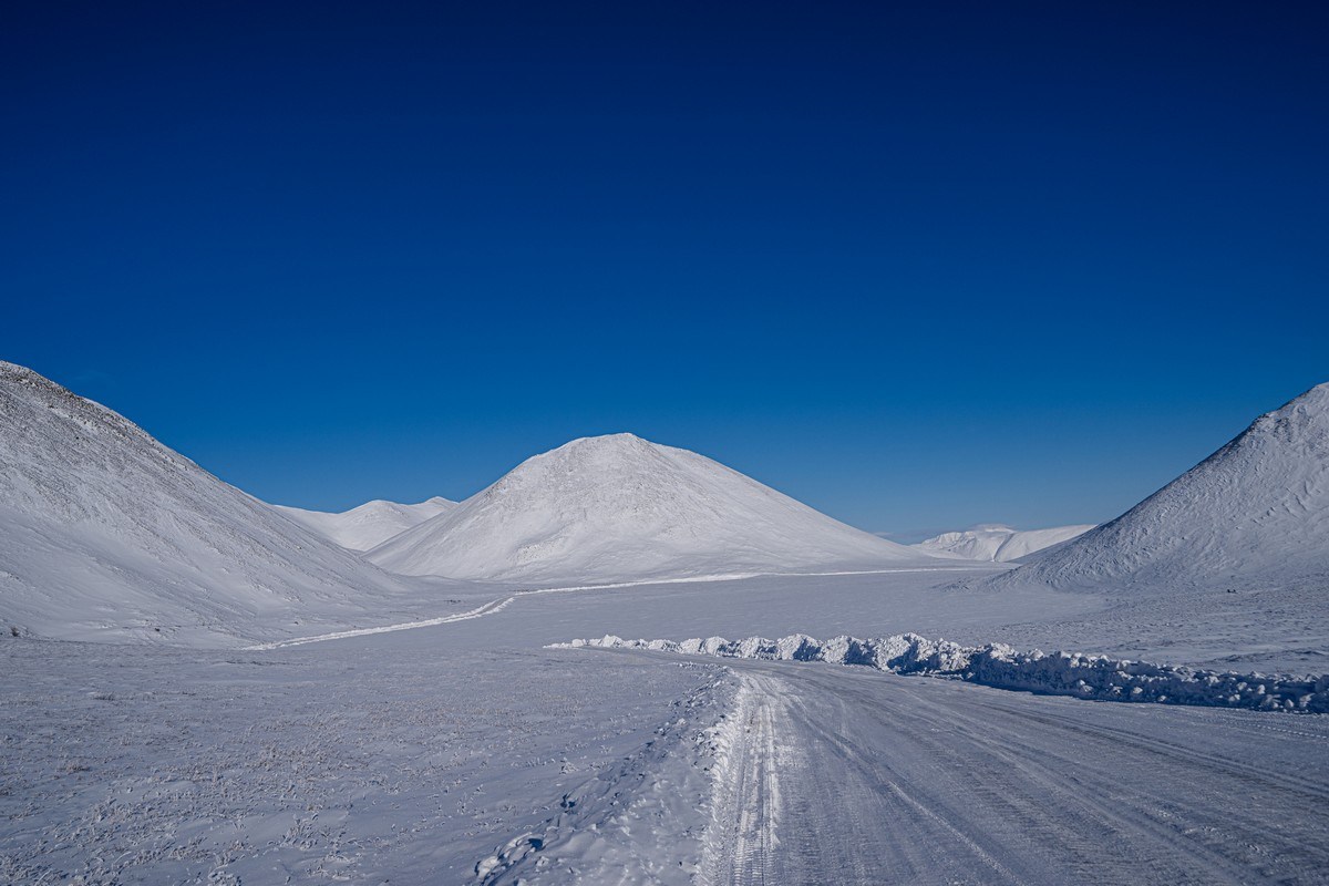
Things were easier for us: it was back into our vehicles and off we popped down the slope ->
Suddenly: canyon. But not for long ->
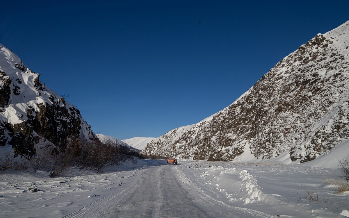
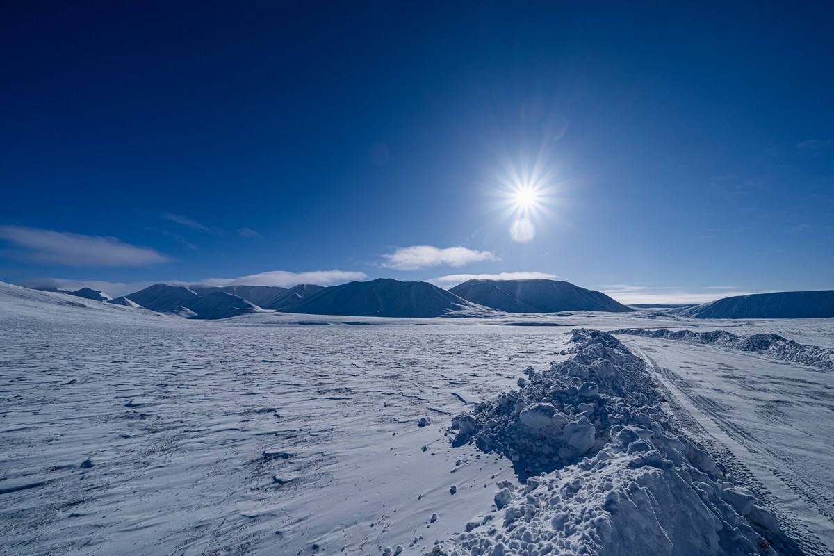
A particularly beautiful stretch:
As evening approached the shadows got longer and longer ->
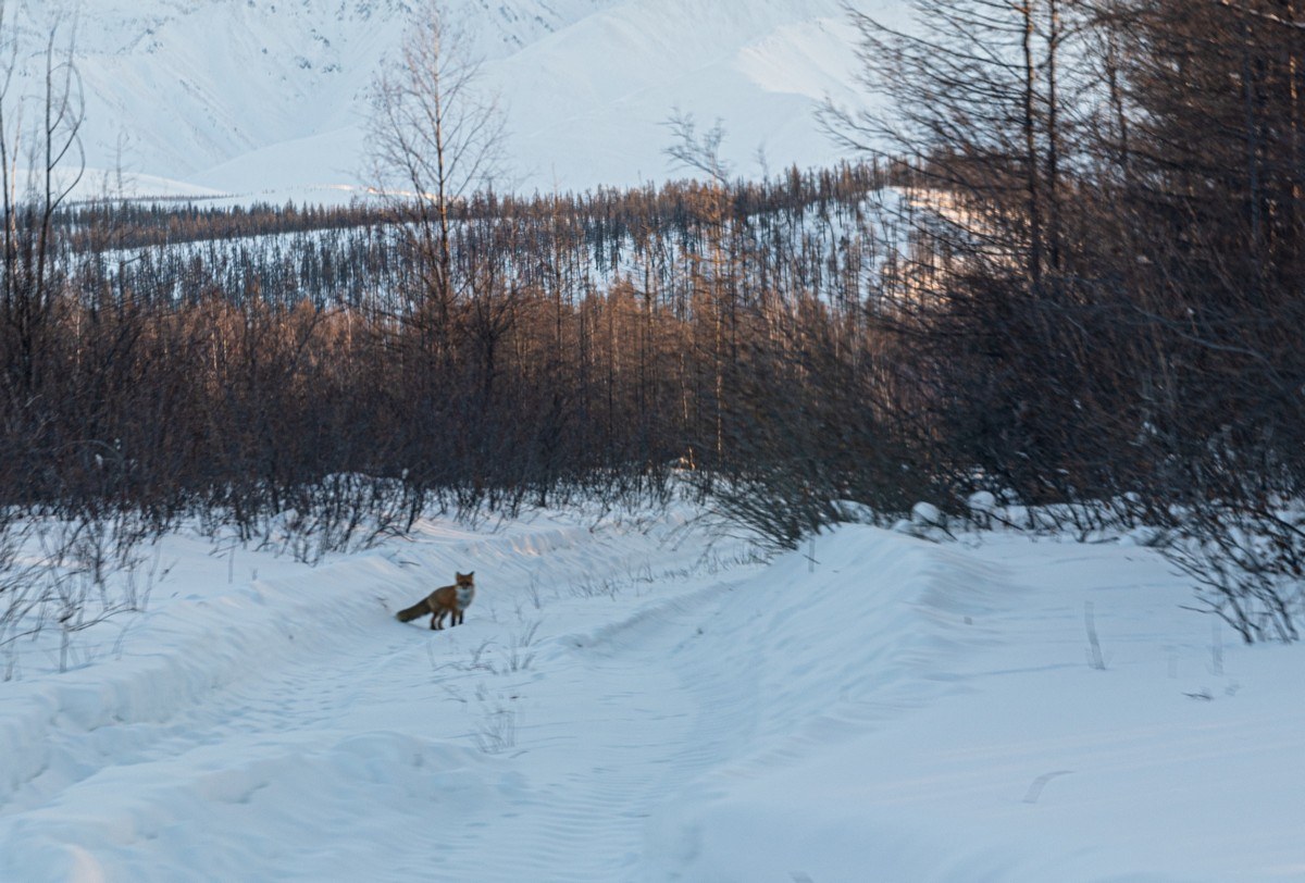
Descending down from the mountain pass, the smooth, bare mountains (which had clearly been smoothed by glacial erosion down the millennia) became rougher, with increasingly more tree cover in the valleys:

Suddenly – fox! He must have been astonished by such small vehicles around here: probably the first he’s seen this season:
Soon enough it was dark and the road worsened – so no photos. We finally make it to our stopover village – Sasyr (here). In all just 190km covered today, but all the same it took us eight hours to cover them…

Btw – do you notice anything unusual in the above pic? Look closer…
The more observant among you may notice how bright objects are duplicated. Look at the sign for Sasyr (САСЫР): it has a “duplicate” just above it. The same goes for the rear lights of the jeep in front, and the marked crosswalk sign in the distance just to its left. These duplicates are caused by the double-glazed glass of the windscreen when it’s dark!
So. Sasyr. It has a population of less than 700, yet still it’s the center of civilization round here: there’s fuel, groceries, a school, hot water, heated homes, gym, and a café. The village sits in a picturesque valley between two mountain ridges; near it is the highest point of Yakutia – Peak Pobeda (3003).
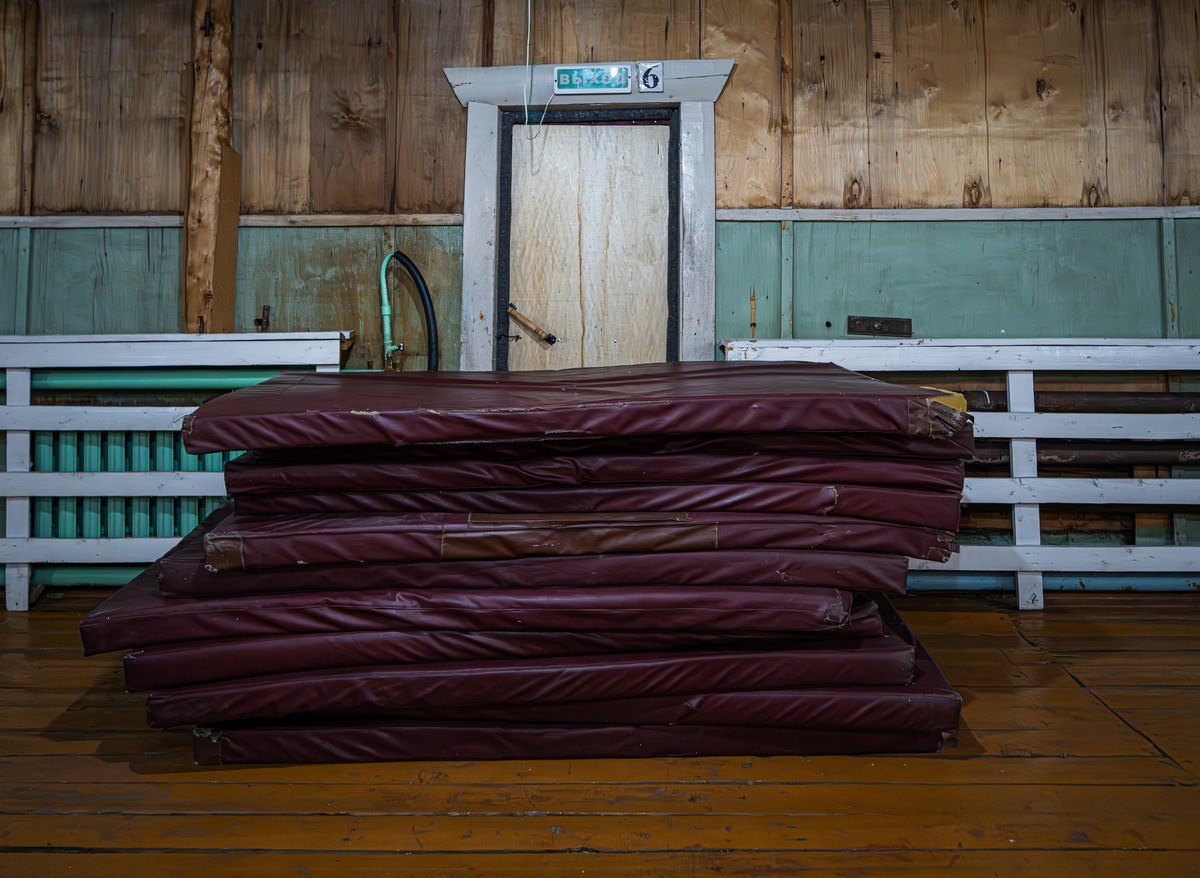
The one thing it doesn’t have is hotels, or even hotel; or even guesthouses, or even guesthouse! Oof. But we’d planned for this: we had the numbers of some contacts with the village’s administration. We duly got in touch with some – and they got us into the sports hall of the village’s school! Don’t laugh: it was nice and warm and comfortable inside ) ->

And it came with two table-tennis tables. What more could you ask for? )

As for mattresses, we used the gym mats that were in there – of which there were precisely 11. And since our posse numbered precisely 11, we figured the stars really were aligned this evening ->
And that was our first day of winter-roading on our expedition: 80km along the Kolyma Highway, then 190 along the Arctic winter road. Done; nice. Spirits – high.
Our route this day. Five hours, 21 minutes? Yeah, right. That needs multiplying by 1.5 at least. Still, Yandex Maps’ distances are about right…
The rest of the photos from our Yakutsk-Tiksi-Yakutsk expedition are here.

